 Block
Little York, Illinois
11 topographic sheets cover this place, the earliest surveyed in 1923 and the latest in 1989. It stands in Sumner Township. It lies in ZIP code area 61453. It stands on Davids Creek. The Survey maps it on the Little York quadrangle. 283 people lived here at the 2020 count. It stands 614 feet above sea level.
Population over time
2 figuresLittle York fell from 331 to 283 between 2010 and 2020. These are the recorded population figures Wikidata holds for this place, reached through the Geographic Names Information System number this page is keyed on rather than by name, so they belong to this place and not to another of the same name. Most are census counts, but not all are: an early figure may be a founding or settlement estimate, and an estimate published within five years of a census is left out. The change column is computed, and is left blank where more than 20 years separate a figure from the one before it, because a gap that long is not a change between two counts.
| Year | People | Change |
|---|---|---|
| 2010 | 331 | |
| 2020 | 283 | -48 (-15%) |
Topographic sheets covering this place
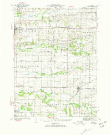
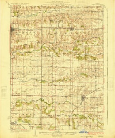
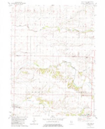
8 surveys from 11 printed sheetsMatched by testing this settlement's coordinate against the published boundary of every sheet in the United States Geological Survey's historical collection. Each opens the scanned sheet at the Survey.
- 1923 USGS Alexis quadrangle1:62500, 2 printings
- 1925 USGS Alexis quadrangle1:62500
- 1958 USGS Davenport quadrangle1:250000, 2 printings
- 1961 USGS Davenport quadrangle1:250000
- 1962 USGS Davenport quadrangle1:250000
- 1982 USGS Little York quadrangle1:24000, 2 printings
- 1984 USGS Aledo quadrangle1:100000
- 1989 USGS Aledo quadrangle1:100000





In the county-history sources
2,868 words on this townshipPortrait and Biographical Album of Warren County, Illinois, published 1886 names this settlement in its chapter on Sumner Township. These are the passages that mention it, exactly as the scans read.
James Kendall opened the first store in the township, in 1833. It was located in Little York, and he had for his store house a little log cabin. He died soon after, and William, his brother, took the store, and subsequently sold it to Arthur McFarland.
Passage source: Portrait and Biographical Album of Warren County, Illinois, published 1886.
It was during the latter part of his pastorate that -this Church joined in the Union with the Associate Presbyterians and became United Presbyterians. Rev. John C. Reynolds succeeded Mr. Porter, and remained until July, 1872, when he gave place to J. M. Atchison, who was installed Dec. i, 1872. Mr. Atchison served the congregation several years, and was followed by the Rev. J. A. Gherelt, who retired in the spring of 1885, and was their last pastor. This congregation had a long and prosperous life. Their first house of worship was built of logs and was located about two miles northeast of Little York; it was built in the summer of 1836. In 1845 they erected a larger building of frame near the old log one. In 1866, the congregation outgrew this building, and they erected a larger and more commodious edifice, at a cost of about $4,000 ; later on a good parsonage was put up. The church building is beautifully located, about three miles norlheast of Little York, and the parsonage about a mile north of the church. All of the original members are either dead or have moved away. The widow of Rev. John Wallace is yet living, in Little York. At the present time they have no service, but the Sabbath-school is still kept up. Last 4th of July, it celebrated its semi-centennial anniversary.
Passage source: Portrait and Biographical Album of Warren County, Illinois, published 1886.
This township is well watered by the Middle Henderson and its branches and Cedar Creek. At one time it was one of the best timbered townships in the county, and fine bodies of timber are still standing, particularly along the borders of the streams. The nature of the land is undulating ; in the southwestern and southeastern portions quite broken in places, wliile the northeastern part is very little undulated. The soil is rich and easily cultivated. The township is dotted over with grand farms, which are ornamented with fine dwellings and farm buildings. Some of the houses are elegant in construction. There is a station at Denny and Little York, where the people of the township do most of their trading and get their mails. The Iowa Central Railroad was completed through the township in the spring of 1883.
Passage source: Portrait and Biographical Album of Warren County, Illinois, published 1886.
Machine-read from a century-old scan, so expect the errors a machine makes: misspelled names, dropped words, stray characters.
Read the whole chapter on Sumner Township - it names this place 4 more 4 times.
Mines and quarries near this place
4 within 5 milesRegional context, not property-specific evidence. The federal mineral resources record lists 4 workings within 5 miles of Little York: 3 occurrences, 1 plant. 1 still produces. What was taken out: Stone, Crushed/Broken. Distance is straight-line from the map coordinates, so a quarry counted here may appear on a neighbouring settlement's page as well.
| Where | Site | Commodity | Status | Recorded |
|---|---|---|---|---|
| Limestone Prospect | Stone, Crushed/Broken | Occurrence | ||
| Limestone Prospect | Stone, Crushed/Broken | Occurrence | ||
| Limestone Prospect | Stone, Crushed/Broken | Occurrence | ||
| Monmouth Quarry and Mill | Stone, Crushed/Broken | Plant |
Storms near this place
15 since 1995Regional context, not property-specific evidence. The National Weather Service names Little York in 15 storm reports between 1995 and 2020: 8 thunderstorm wind, 3 hail, 2 tornado, 2 flash flood. No death or injury is recorded in these reports. Each account below is quoted exactly as the forecast office filed it, from the NOAA Storm Events Database, and each date opens the federal record of that event.
| When | Event | Place named | Harm | What the report says |
|---|---|---|---|---|
| April 2006 | Thunderstorm Wind | Little York | $70,000 | Grain bin destroyed with damage to the house and garage. |
| May 1995 | Tornado (F0) | Little York | $5,000 | A brief tornado touchdown tossed one grain bin off its foundation striking power lines. Tree damage was also reported. |
| March 2006 | Hail | Little York | $5,000 | no account filed |
| August 2020 | Thunderstorm Wind | Little York | - | A few trees were blown down in Little York, as well as a few power lines. |
| July 2020 | Thunderstorm Wind | Little York | - | A highway sign blown over and corn damaged. Report on social media. |
| June 2010 | Thunderstorm Wind | Little York | - | Wind gusts estimated to be 70 mph were observed in Little York, IL at 839 pm June 18. Some large trees were bending over. |
| May 2009 | Hail | Little York | - | Quarter-sized hail fell about 3 miles north of Little York, Illinois around 823 pm on May 8. |
| May 2009 | Tornado (EF0) | Little York | - | A brief tornado was observed for about one minute about 3 miles north of Little York, Illinois around 815 pm on May 8th. |
| August 2009 | Thunderstorm Wind | Little York | - | Wind gusts estimated to be 60 mph blew down some tree limbs in Little York, IL around 833 pm August 9. |
| August 2009 | Flash Flood | Little York | - | Heavy rains resulted in some flash flooding of parts of Warren County during the late evening of August 9. Flood waters covered several roads in the vicinity of Little York, IL. Flood waters were 1 to 1.5 feet deep over a portion of Route 135 about 1.5 miles south of Little York, IL. |
| June 2008 | Thunderstorm Wind | Little York | - | Winds estimated to be 60 mph blew down some tree limbs in Little York, IL at 9:05 pm June 8. The limbs were 4 to 6 inches in diameter. |
| June 2008 | Flash Flood | Little York | - | Heavy rains of 1 to 3 inches resulted in flash flooding across much of Warren County. Water was flowing off of farm fields and small creeks over several county roads. The roadways were still drivable. |
| July 2008 | Thunderstorm Wind | Little York | - | Wind gusts estimated to be 65 mph blew down some trees in Little York, IL at 5:34 pm July 29. |
| July 2008 | Thunderstorm Wind | Little York | - | Wind gusts estimated to be 60 mph were observed 10 miles northwest of Monmouth, IL at 610 am July 21. |
| June 1999 | Hail | Little York | - | no account filed |
Nearest settlements
The eight closest, with where each one stands in the county. Distances are straight-line, computed from the Geographic Names Information System coordinates.
| Map | Place | Distance | Sheets |
|---|---|---|---|
| Denny (historical) | 2.8 miles | 18 | |
| Eleanor | 3.3 miles | 18 | |
| Woodvale | 5.5 miles | 11 | |
| Spring Grove (historical) | 6.2 miles | 11 | |
| Shaw | 6.3 miles | 11 | |
| Alexis Junction | 6.9 miles | 11 | |
| Gerlaw | 7.8 miles | 18 | |
| Monmouth | 8.6 miles | 18 |
Elsewhere
Matched on this settlement's Geographic Names Information System number rather than its name, so it cannot be a different place of the same name in another state.
| Wikipedia article on Little York | An encyclopaedic summary. Its text is share-alike, so it is linked here rather than copied. |
| Wikidata item Q2671215 | The structured record the population and elevation above come from. Public domain (CC0). |
Provenance
This settlement is recorded in the Geographic Names Information System as feature 412436. The sheet list is computed by point-in-boundary test against the United States Geological Survey's historical topographic inventory. Both are works of the United States government and carry no copyright under 17 U.S.C. 105.
Mines and quarries. USGS Mineral Resources Data System (MRDS) https://mrdata.usgs.gov/mrds/ A work of the United States government, no copyright under 17 U.S.C. 105.
Storms. NOAA National Centers for Environmental Information, Storm Events Database https://www.ncei.noaa.gov/stormevents/ A work of the United States government, no copyright under 17 U.S.C. 105. Narratives are quoted verbatim from the National Weather Service report and are not edited or summarised.