 Block
Shaw, Illinois
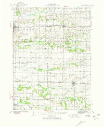
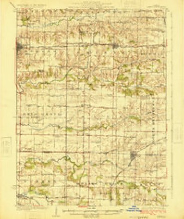
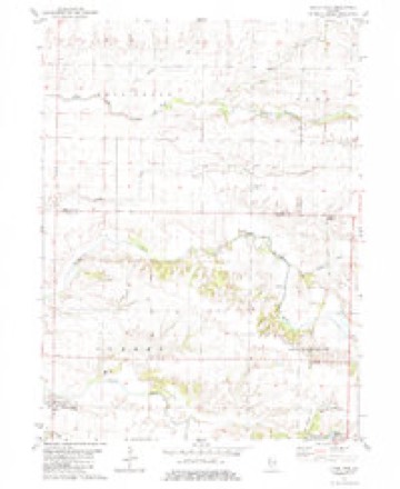
11 topographic sheets cover this place, the earliest surveyed in 1923 and the latest in 1989. It stands in Spring Grove Township. It lies in ZIP code area 61412. It stands on Middle Henderson Creek. The Survey maps it on the Little York quadrangle.
Topographic sheets covering this place
8 surveys from 11 printed sheetsMatched by testing this settlement's coordinate against the published boundary of every sheet in the United States Geological Survey's historical collection. Each opens the scanned sheet at the Survey.
- 1923 USGS Alexis quadrangle1:62500, 2 printings
- 1925 USGS Alexis quadrangle1:62500
- 1958 USGS Davenport quadrangle1:250000, 2 printings
- 1961 USGS Davenport quadrangle1:250000
- 1962 USGS Davenport quadrangle1:250000
- 1982 USGS Little York quadrangle1:24000, 2 printings
- 1984 USGS Aledo quadrangle1:100000
- 1989 USGS Aledo quadrangle1:100000





In the county-history sources
5,838 words on this townshipPortrait and Biographical Album of Warren County, Illinois : Containing Full Page Portraits and Biographical Sketches of Prominent and Representative Citizens of the County, Together with Portraits and Biographies of All the Governors of Illinois, and of the Presidents of the United States ; Also Containing a History of the County, from Its Earliest Settlement Up to the Present Time, published 1886 names this settlement in its chapter on Spring Grove Township. These are the passages that mention it, exactly as the scans read.
On the night of Jan 24, 1878, fire broke out under the floor of the Masonic Hall on Main Street, and nearly destroyed the west side of that street. Among the sufferers were D. S. McKnight, hardware dealer, two stores and one dwelling; James Shaw, notions and grocery; Dr. J. P. McClanahan, drug store; Thomas Loveridge, dry goods and grocery; Hardy & Knox, dealers in groceries and clothing; Bolinger & Yarde, grocery store ; Benjamin Churchill, restaurant and boarding-house; Jacob Wolff, harness and saddlery.
Machine-read from a century-old scan, so expect the errors a machine makes: misspelled names, dropped words, stray characters.
Mines and quarries near this place
2 within 5 milesRegional context, not property-specific evidence. The federal mineral resources record lists 2 workings within 5 miles of Shaw: 2 occurrences. None of them still produces. What was taken out: Stone, Crushed/Broken. Distance is straight-line from the map coordinates, so a quarry counted here may appear on a neighbouring settlement's page as well.
| Where | Site | Commodity | Status | Recorded |
|---|---|---|---|---|
| Limestone Prospect | Stone, Crushed/Broken | Occurrence | ||
| Limestone Prospect | Stone, Crushed/Broken | Occurrence |
Storms near this place
3 since 2010Regional context, not property-specific evidence. The National Weather Service names Shaw in 3 storm reports between 2010 and 2011: 3 thunderstorm wind. No death or injury is recorded in these reports. Each account below is quoted exactly as the forecast office filed it, from the NOAA Storm Events Database, and each date opens the federal record of that event.
| When | Event | Place named | Harm | What the report says |
|---|---|---|---|---|
| April 2010 | Thunderstorm Wind | Shaw | $25,000 | Wind gusts estimated to be 70 mph destroyed a well-built 60'x60'x35' barn pulling its cement blocks off of the foundation at 2452 1st Ave about 3 miles west of Alexis, IL at 505 pm April 30. In addition, some apple trees were damaged as well as the porch of the residence. This report was relayed by spotter ME23. |
| May 2011 | Thunderstorm Wind | Shaw | - | Wind gusts estimated to be 60 mph were observed about 3 miles southwest of Alexis, IL at 549 pm CDT May 25. |
| April 2010 | Thunderstorm Wind | Shaw | - | Wind gusts estimated to be 70 mph damage or uprooted several healthy trees including one 40 inches in diameter about 4 miles west of Alexis, IL at 505 pm April 30. In addition, a piece of wood was driven into the front yard. |
Nearest settlements
The eight closest, with where each one stands in the county. Distances are straight-line, computed from the Geographic Names Information System coordinates.
| Map | Place | Distance | Sheets |
|---|---|---|---|
| Alexis Junction | 1.5 miles | 11 | |
| Woodvale | 1.6 miles | 11 | |
| Spring Grove (historical) | 3.0 miles | 11 | |
| Alexis | 4.5 miles | 10 | |
| Gerlaw | 4.5 miles | 18 | |
| Denny (historical) | 4.8 miles | 18 | |
| Eleanor | 5.3 miles | 18 | |
| Little York | 6.3 miles | 11 |
Provenance
This settlement is recorded in the Geographic Names Information System as feature 423181. The sheet list is computed by point-in-boundary test against the United States Geological Survey's historical topographic inventory. Both are works of the United States government and carry no copyright under 17 U.S.C. 105.
Mines and quarries. USGS Mineral Resources Data System (MRDS) https://mrdata.usgs.gov/mrds/ A work of the United States government, no copyright under 17 U.S.C. 105.
Storms. NOAA National Centers for Environmental Information, Storm Events Database https://www.ncei.noaa.gov/stormevents/ A work of the United States government, no copyright under 17 U.S.C. 105. Narratives are quoted verbatim from the National Weather Service report and are not edited or summarised.