 Block
Spring Grove, Illinois
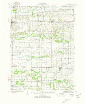
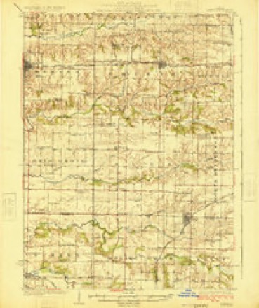
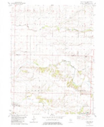
11 topographic sheets cover this place, the earliest surveyed in 1923 and the latest in 1989. It stands in Spring Grove Township. It lies in ZIP code area 61462. The Survey maps it on the Little York quadrangle. The federal gazetteer marks this settlement historical: it is no longer a populated place, though the surveys that recorded it still are.
Topographic sheets covering this place
8 surveys from 11 printed sheetsMatched by testing this settlement's coordinate against the published boundary of every sheet in the United States Geological Survey's historical collection. Each opens the scanned sheet at the Survey.
- 1923 USGS Alexis quadrangle1:62500, 2 printings
- 1925 USGS Alexis quadrangle1:62500
- 1958 USGS Davenport quadrangle1:250000, 2 printings
- 1961 USGS Davenport quadrangle1:250000
- 1962 USGS Davenport quadrangle1:250000
- 1982 USGS Little York quadrangle1:24000, 2 printings
- 1984 USGS Aledo quadrangle1:100000
- 1989 USGS Aledo quadrangle1:100000





In the county-history sources
5,838 words on this townshipPortrait and Biographical Album of Warren County, Illinois : Containing Full Page Portraits and Biographical Sketches of Prominent and Representative Citizens of the County, Together with Portraits and Biographies of All the Governors of Illinois, and of the Presidents of the United States ; Also Containing a History of the County, from Its Earliest Settlement Up to the Present Time, published 1886 names this settlement in its chapter on Spring Grove Township. These are the passages that mention it, exactly as the scans read.
Spring Grove is situated in the middle of the northern tier of townships, number 12 north, of range 2, west. The county of Mercer is at the north, and on the east, south and west sides lie respectively the townships of Kelly, Monmouth and Sumner. The nature of the land in the greater portion of the township is rolling, ; in the western part it is in places quite broken. It is liberally watered by the Middle Henderson, Cedar Creek and tributaries, which meander westward into the Henderson River. Along the water courses the township is pretty well timbered. The facilities for drainage are good, and there is but little dead land in the township, nearly all being subject to cultivation, and very : fertile.
A postoffice was opened at Spring Grove, in 1835, soon after the Rock Island stage route was established. There was a little settlement at this place, and some trading done before the Rock Island & St. Louis R. R., was built and the town of Alexis was started, when the business, with most of the settlement here, moved to the latter place.
There is a United Presbyterian congregation at Spring Grove, which was organized by the Monmouth Presbytery, June 22, 1855. J. C. McKnight was the first pastor, serving from June, 1856, until March, 1860. He was succeeded by Wm. M. Graham, who served the Church until 1863. Then they were without a pastor for about a year, when they secured the services of T. P. Patterson, who remained until December, 1868. Rev. David Inches then took charge and remained until 1874, and was followed by Revs. Rufus Johnson, Wm. J. Mc- Croney and A. W. Johnson, the present pastor, who was installed Aug 25, 1885, this being his first charge.
Machine-read from a century-old scan, so expect the errors a machine makes: misspelled names, dropped words, stray characters.
Read the whole chapter on Spring Grove Township - it names this place 3 more 3 times.
Mines and quarries near this place
5 within 5 milesRegional context, not property-specific evidence. The federal mineral resources record lists 5 workings within 5 miles of Spring Grove (historical): 4 occurrences, 1 plant. 1 still produces. What was taken out: Stone, Crushed/Broken. Distance is straight-line from the map coordinates, so a quarry counted here may appear on a neighbouring settlement's page as well.
| Where | Site | Commodity | Status | Recorded |
|---|---|---|---|---|
| Limestone Prospect | Stone, Crushed/Broken | Occurrence | ||
| Limestone Prospect | Stone, Crushed/Broken | Occurrence | ||
| Limestone Prospect | Stone, Crushed/Broken | Occurrence | ||
| Limestone Prospect | Stone, Crushed/Broken | Occurrence | ||
| Monmouth Quarry and Mill | Stone, Crushed/Broken | Plant |
Nearest settlements
The eight closest, with where each one stands in the county. Distances are straight-line, computed from the Geographic Names Information System coordinates.
| Map | Place | Distance | Sheets |
|---|---|---|---|
| Woodvale | 1.7 miles | 11 | |
| Gerlaw | 1.8 miles | 18 | |
| Shaw | 3.0 miles | 11 | |
| Denny (historical) | 3.7 miles | 18 | |
| Eleanor | 3.7 miles | 18 | |
| Alexis Junction | 4.5 miles | 11 | |
| Alexis | 5.7 miles | 10 | |
| Little York | 6.2 miles | 11 |
Provenance
This settlement is recorded in the Geographic Names Information System as feature 1823737. The sheet list is computed by point-in-boundary test against the United States Geological Survey's historical topographic inventory. Both are works of the United States government and carry no copyright under 17 U.S.C. 105.
Mines and quarries. USGS Mineral Resources Data System (MRDS) https://mrdata.usgs.gov/mrds/ A work of the United States government, no copyright under 17 U.S.C. 105.