 Block
Spring Valley, Illinois
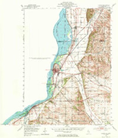
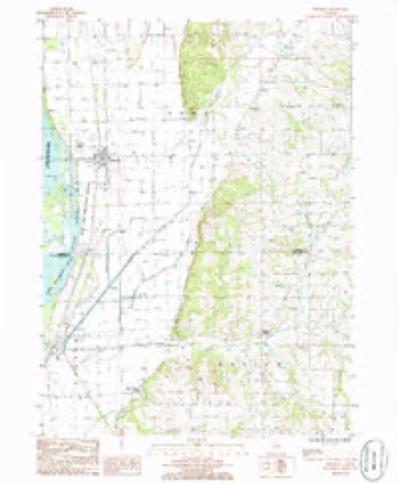
18 topographic sheets cover this place, the earliest surveyed in 1891 and the latest in 1985. It stands in Ustick Township. It lies in ZIP code area 61252. The Survey maps it on the Thomson quadrangle.
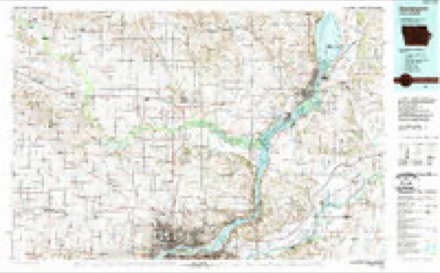
Topographic sheets covering this place
10 surveys from 18 printed sheetsMatched by testing this settlement's coordinate against the published boundary of every sheet in the United States Geological Survey's historical collection. Each opens the scanned sheet at the Survey.
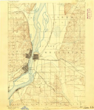
- 1891 USGS Clinton quadrangle1:62500
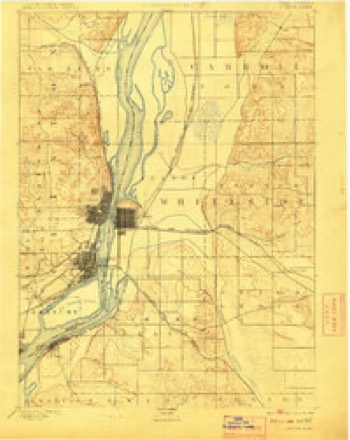
- 1894 USGS Clinton quadrangle1:62500, 3 printings
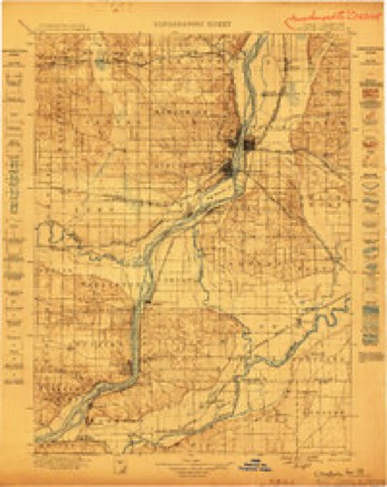
- 1899 USGS Clinton quadrangle1:125000
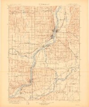
- 1899 USGS Cordova quadrangle1:125000, 4 printings
- 1952 USGS Clinton quadrangle1:62500, 2 printings
- 1958 USGS Davenport quadrangle1:250000, 2 printings
- 1961 USGS Davenport quadrangle1:250000
- 1962 USGS Davenport quadrangle1:250000
- 1984 USGS Davenport quadrangle1:100000, 2 printings
- 1985 USGS Thomson quadrangle1:24000



What happened here
An account from the chapter on Ustick township. The inset identifies its exact source book and publication year.
The Oatman Massacre
This is the most dreadful event connected with this quiet settlement. Roys Oatman, who came in 1842, sold his farm in 1849, and started with his wife and seven children in wagon for California, taking the Santa Fe route. All went well until they reached the junction of the Gila and Colorado rivers, Arizona, when the party was attacked by the Indians, and Mr.
In the county-history sources
28,546 words on this townshipPortrait and Biographical Album of Whiteside County, Illinois : Containing Full-page Portraits and Biographies of All the Governors of Illinois, and of the Presidents of the United States, published 1885 names this settlement in its chapter on Ustick Township. These are the passages that mention it, exactly as the scans read.
Ustick Township, on section 32. He remained here cultivating his farm until 1849, when, getting the California fever, he sold his farm to Henry Bond, and commenced his preparations for the new Eldorado. Having completed his preparations, he moved out one April morning, in 1850, with his family, consisting of a wife and seven children, three boys and four girls. His outfit consisted of three wagons, three yokes of oxen and two spans of horses. These wagons contained household goods, clothing and provisions. They joined other emigrant trains on the way and traveled with them for some days, when, having better teams, they went on ahead, leaving'the others behind. They journeyed on very pleasantly until they passed into the Territory of Arizona, - the Indian country, - where they became subjected to constant annoyances. The first of these was the want of feed for their teams. Soon the Indians began pestering them, stealing their horses or cattle, goods, and their provisions. At last they reached a long hill, about 150 miles from Fort Yuma, and stopped for a short rest. They were reduced now to one yoke of oxen and a wagon. The oxen were mere skeletons, and were nearly worn out and starved. They had unloaded the wagon preparatory to carrying the goods up the hill, leaving the oxen to haul up the empty wagon. At this juncture, Dr. John Le Conte, a scientist and geologist, came upon the party. He was traveling to California with an attendant, each mounted on a horse. The Dr. tarried for a while, talking with Mr. Oatman and family, and before he left was fully apprised of their perilous condition. Mr. Oatman urged him to hurry on to Fort Yuma and send troops back to his rescue. Dr. Le Conte promised to do this, and immediately started forward. Arriving at the fort he made known the condition of the Oatman family, and their eminent danger of being at any moment murdered by the Indians. Gen. Samuel P. Heintzelman, who was then in command of the fort, immediately sent out a force for their rescue. The troops on their way came upon the massacred party but a few miles west of the hill where Le Conte had parted from them ! The bodies of Mr. and Mrs. Oatman and four of their children lay about on the ground in a fearfully mutilated condition. The fate of the other three remained a mystery. A grave was dug by the soldiers large enough to receive all the
Passage source: Portrait and Biographical Album of Whiteside County, Illinois : Containing Full-page Portraits and Biographies of All the Governors of Illinois, and of the Presidents of the United States, published 1885.
The boy, Lorenzo, aged 14 years, who had been left as dead by the savages, recovered- sufficiently to walk, and, taking the road his fated parents had so recently passed over, soon came upon the emigrants they had left in the rear. They took up the poor orphan boy, and carried him through with them to California.
Passage source: Portrait and Biographical Album of Whiteside County, Illinois : Containing Full-page Portraits and Biographies of All the Governors of Illinois, and of the Presidents of the United States, published 1885.
The Presbyterians have a society at Spring Valley, where they have a neat little church. This was organized in 1860, by Rev. A. H. Lackey. There were at the organization some twenty members. They worshiped in a school-house until they completed their building, which was in 1866, at a cost of over $2,000. The ministers serving this Church are Revs. J. B. McClure, A. Keigwin, A. H. Lackey, A. W. Colver, A. W. Hanna, W. D. Lummis, and F. J. Prichert.
Passage source: Portrait and Biographical Album of Whiteside County, Illinois : Containing Full-page Portraits and Biographies of All the Governors of Illinois, and of the Presidents of the United States, published 1885.
Machine-read from a century-old scan, so expect the errors a machine makes: misspelled names, dropped words, stray characters.
Read the whole chapter on Ustick Township - it names this place 1 more 1 time.
Fires near this place
4 since 1999Regional context, not property-specific evidence. The federal wildfire occurrence database lists 4 fires within 5 miles of Spring Valley between 1999 and 2014, burning about 270 acres in total. None started naturally. None was recorded as arson. Distance is straight-line from the map coordinates, so a fire counted here may appear on a neighbouring settlement's page as well.
| Reported cause | Fires |
|---|---|
| Recreation and ceremony | 3 |
| Debris and open burning | 1 |
The most recent of them, most recent first, with the day each was reported and the service that recorded it.
| Date | Cause | Size | Reported by | Name on the report |
|---|---|---|---|---|
| 31 March 2014 | Recreation and ceremony | 265 acres | Savanna District, Upper Mississippi National Wildlife Refuge | THOMSON RNA |
| 10 November 2010 | Debris and open burning | under an acre | Savanna District, Upper Mississippi National Wildlife Refuge | WARREN |
| 8 October 2013 | Recreation and ceremony | 2.0 acres | Savanna District, Upper Mississippi National Wildlife Refuge | SOUTH THOMSON FIRE |
| 23 October 1999 | Recreation and ceremony | 2.6 acres | Savanna District, Upper Mississippi National Wildlife Refuge | BOWHUNTER |
Mines and quarries near this place
7 within 5 milesRegional context, not property-specific evidence. The federal mineral resources record lists 7 workings within 5 miles of Spring Valley: 3 past producers, 2 occurrences, 2 producers. 2 still produce. What was taken out: Stone, Crushed/Broken, Sand and Gravel, Construction. Distance is straight-line from the map coordinates, so a quarry counted here may appear on a neighbouring settlement's page as well.
| Where | Site | Commodity | Status | Recorded |
|---|---|---|---|---|
| J. Dykstra Pit | Sand and Gravel, Construction | Past Producer | ||
| Acker-Fulton Quarry | Stone, Crushed/Broken | Producer | ||
| Graharing Quarryrein,Schultz,Dahl | Stone, Crushed/Broken | Past Producer | ||
| Limestone Prospect | Stone, Crushed/Broken | Occurrence | ||
| Limestone Prospect | Stone, Crushed/Broken | Occurrence | ||
| S Aker Quarry | Stone, Crushed/Broken | Producer | ||
| Unnamed Limestone Quarry | Stone, Crushed/Broken | Past Producer |
Nearest settlements
The eight closest, with where each one stands in the county. Distances are straight-line, computed from the Geographic Names Information System coordinates.
| Map | Place | Distance | Sheets |
|---|---|---|---|
| Ustick | 2.8 miles | 11 | |
| Union Grove | 4.9 miles | 18 | |
| Unionville | 6.6 miles | 11 | |
| Franklin Corners | 6.7 miles | 11 | |
| Little Oklahoma | 6.9 miles | 19 | |
| Fulton | 7.0 miles | 19 | |
| Oliver | 7.4 miles | 18 | |
| Morrison | 7.6 miles | 11 |
Provenance
This settlement is recorded in the Geographic Names Information System as feature 1718952. The sheet list is computed by point-in-boundary test against the United States Geological Survey's historical topographic inventory. Both are works of the United States government and carry no copyright under 17 U.S.C. 105.
Wildfire. Short, Karen C. 2022. Spatial wildfire occurrence data for the United States, 1992-2020 [FPA_FOD_20221014]. 6th Edition. Fort Collins, CO: Forest Service Research Data Archive. https://doi.org/10.2737/RDS-2013-0009.6 Collected with United States Government funding and usable without additional permissions or fees.
Mines and quarries. USGS Mineral Resources Data System (MRDS) https://mrdata.usgs.gov/mrds/ A work of the United States government, no copyright under 17 U.S.C. 105.