 Block
Ustick, Illinois
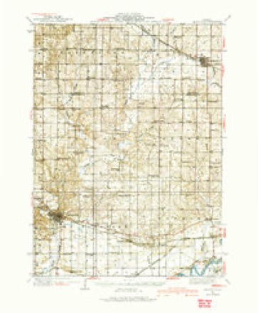
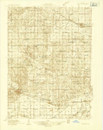
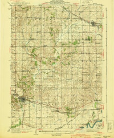
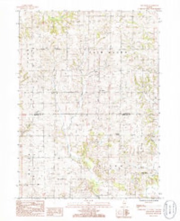
11 topographic sheets cover this place, the earliest surveyed in 1934 and the latest in 1985. It stands in Ustick Township. It lies in ZIP code area 61270. The Survey maps it on the Fair Haven quadrangle.
Topographic sheets covering this place
7 surveys from 11 printed sheetsMatched by testing this settlement's coordinate against the published boundary of every sheet in the United States Geological Survey's historical collection. Each opens the scanned sheet at the Survey.
- 1934 USGS Morrison quadrangle1:62500
- 1934 USGS Morrison quadrangle1:48000
- 1940 USGS Morrison quadrangle1:62500, 2 printings
- 1958 USGS Aurora quadrangle1:250000, 3 printings
- 1961 USGS Aurora quadrangle1:250000
- 1985 USGS Dixon quadrangle1:100000, 2 printings
- 1985 USGS Fair Haven quadrangle1:24000



What happened here
An account from the chapter on Ustick township. The inset identifies its exact source book and publication year.
The Oatman Massacre
This is the most dreadful event connected with this quiet settlement. Roys Oatman, who came in 1842, sold his farm in 1849, and started with his wife and seven children in wagon for California, taking the Santa Fe route. All went well until they reached the junction of the Gila and Colorado rivers, Arizona, when the party was attacked by the Indians, and Mr.
In the county-history sources
28,546 words on this townshipPortrait and Biographical Album of Whiteside County, Illinois : Containing Full-page Portraits and Biographies of All the Governors of Illinois, and of the Presidents of the United States, published 1885 names this settlement in its chapter on Ustick Township. These are the passages that mention it, exactly as the scans read.
HE territory that is now embraced by this township originally belonged to Union and Albany Precincts, and subsequently the whole was attached to Fulton Precinct, and so remained until the township system was adopted. Notice having been given that there would be an election on the sixth day of April, 1852, for the purpose of forming a township under the organization act, the citizens of this territory accordingly assembled together at the Franklin Schoolhouse, in what is now School District No. 2, to perfect said organization. Henry Ustick was chosen Moderator, and A. M. Abbott Clerk. A committee of five were appointed to draft by-laws - Benjamin Abbott, S. W. Goff, Oliver Baker, Reuben Baker and Joseph Hollinshead. One of the by-laws - the first - was that the township should be known as Hemlo.
Passage source: Portrait and Biographical Album of Whiteside County, Illinois : Containing Full-page Portraits and Biographies of All the Governors of Illinois, and of the Presidents of the United States, published 1885.
There were 26 votes cast at this election, with the following result: John McKenzie was chosen for Supervisor; A. M. Abbott, Clerk; Henry Ustick, Assessor ; Ira E. Baker, Collector, and Jesse O. Johnson, Overseer of the Poor ; Hiram Ingham and Reuben Baker were elected as Commissioners of the Highway ; N. M. T. Ustick and Ira E. Baker, "Constables ; and Henry Ustick and Oliver Baker, Justices of the Peace.
Passage source: Portrait and Biographical Album of Whiteside County, Illinois : Containing Full-page Portraits and Biographies of All the Governors of Illinois, and of the Presidents of the United States, published 1885.
Ustick Township is quite diversified in its topography, having extensive plains, high bluffs and undulating surfaces. It has a fine growth of young timber, with many old forest groves. It is liberally watered by the Otter and numerous small creeks.
Passage source: Portrait and Biographical Album of Whiteside County, Illinois : Containing Full-page Portraits and Biographies of All the Governors of Illinois, and of the Presidents of the United States, published 1885.
Machine-read from a century-old scan, so expect the errors a machine makes: misspelled names, dropped words, stray characters.
Read the whole chapter on Ustick Township - it names this place 13 more 13 times.
Mines and quarries near this place
6 within 5 milesRegional context, not property-specific evidence. The federal mineral resources record lists 6 workings within 5 miles of Ustick: 3 past producers, 2 producers, 1 occurrence. 2 still produce. What was taken out: Stone, Crushed/Broken, Sand and Gravel, Construction. Distance is straight-line from the map coordinates, so a quarry counted here may appear on a neighbouring settlement's page as well.
| Where | Site | Commodity | Status | Recorded |
|---|---|---|---|---|
| J. Dykstra Pit | Sand and Gravel, Construction | Past Producer | ||
| Acker-Fulton Quarry | Stone, Crushed/Broken | Producer | ||
| Limestone Prospect | Stone, Crushed/Broken | Occurrence | ||
| Morrison Quarry | Stone, Crushed/Broken | Past Producer | ||
| S Aker Quarry | Stone, Crushed/Broken | Producer | ||
| Unnamed Limestone Quarry | Stone, Crushed/Broken | Past Producer |
Storms near this place
16 since 2008Regional context, not property-specific evidence. The National Weather Service names Ustick in 16 storm reports between 2008 and 2021: 8 hail, 7 thunderstorm wind, 1 tornado. No death or injury is recorded in these reports. Each account below is quoted exactly as the forecast office filed it, from the NOAA Storm Events Database, and each date opens the federal record of that event.
| When | Event | Place named | Harm | What the report says |
|---|---|---|---|---|
| April 2010 | Thunderstorm Wind | Ustick | $25,000 | Wind gusts estimated to be 70 mph blew some trees and branches down about 14 miles south of Mount Carroll, IL around 835 pm April 5. Some vehicles were damaged by the fallen branches. Also, a power outage was observed. |
| September 2021 | Hail | Ustick | - | Golf ball sized hail lasting for about 4 minutes. |
| September 2021 | Hail | Ustick | - | Pea to one inch hail reported, with some golf ball sized hail as well. |
| February 2017 | Hail | Ustick | - | A spotter reported a mix of pea to dime size hail. |
| April 2015 | Tornado (EF1) | Ustick | - | A NWS Storm Survey found that a tornado touched down 5 miles northeast of Fulton Illinois and lifted 8 miles east of Thomson Illinois. The tornado was on the ground for 1.08 miles in Whiteside Counties. The damage was primarily to trees and farm outbuildings. |
| June 2015 | Thunderstorm Wind | Ustick | - | Spotters report that the wind blew house doors open and brought down branches. |
| May 2013 | Thunderstorm Wind | Ustick | - | A trained spotter estimated 50 to 60 mph winds and pea size hail. |
| June 2012 | Hail | Ustick | - | Hail up to penny sized fell for about 8 to 9 minutes 2 miles west of Ustick, IL around 935 am CDT June 29. |
| August 2012 | Thunderstorm Wind | Ustick | - | A spotter estimated thunderstorm wind speeds of 60 to 70 mph bringing down 3 inch tree branches. |
| April 2010 | Hail | Ustick | - | Quarter sized hail fell about 14 miles south of Mount Carroll, IL around 835 pm April 5. |
| June 2010 | Thunderstorm Wind | Ustick | - | Wind gusts estimated to be 60 mph were observed about 2 miles west of Ustick, IL at 155 pm June 18. Some small branches were blown down in the area. |
| August 2010 | Thunderstorm Wind | Ustick | - | Wind gusts estimated to be 60 mph were observed about 2 miles west of Ustick, IL or about 6 miles north northwest of Morrison, IL at 205 pm CDT August 20. |
| May 2008 | Hail | Ustick | - | Penny-sized hail fell just east of Ustick, IL around 9:31 pm May 31. |
| June 2008 | Hail | Ustick | - | Nickel-sized hail fell west of Ustick, IL at 6:16 pm June 12. |
| September 2021 | Hail | Ustick | - | no account filed |
| June 2009 | Thunderstorm Wind | Ustick | - | no account filed |
Nearest settlements
The eight closest, with where each one stands in the county. Distances are straight-line, computed from the Geographic Names Information System coordinates.
| Map | Place | Distance | Sheets |
|---|---|---|---|
| Spring Valley | 2.8 miles | 18 | |
| Union Grove | 3.9 miles | 18 | |
| Unionville | 4.5 miles | 11 | |
| Franklin Corners | 4.9 miles | 11 | |
| Morrison | 5.3 miles | 11 | |
| White Pigeon | 5.4 miles | 11 | |
| Malvern | 5.9 miles | 11 | |
| Oliver | 7.0 miles | 18 |
Provenance
This settlement is recorded in the Geographic Names Information System as feature 423269. The sheet list is computed by point-in-boundary test against the United States Geological Survey's historical topographic inventory. Both are works of the United States government and carry no copyright under 17 U.S.C. 105.
Mines and quarries. USGS Mineral Resources Data System (MRDS) https://mrdata.usgs.gov/mrds/ A work of the United States government, no copyright under 17 U.S.C. 105.
Storms. NOAA National Centers for Environmental Information, Storm Events Database https://www.ncei.noaa.gov/stormevents/ A work of the United States government, no copyright under 17 U.S.C. 105. Narratives are quoted verbatim from the National Weather Service report and are not edited or summarised.