 Block
Wabash Point, Illinois
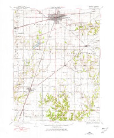
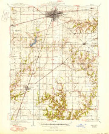
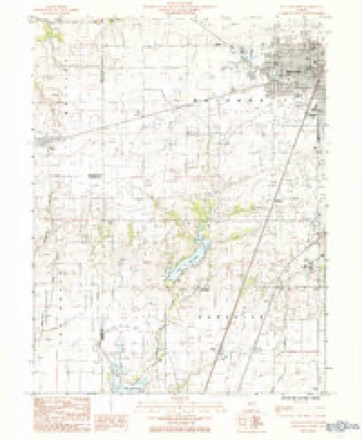
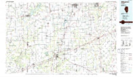
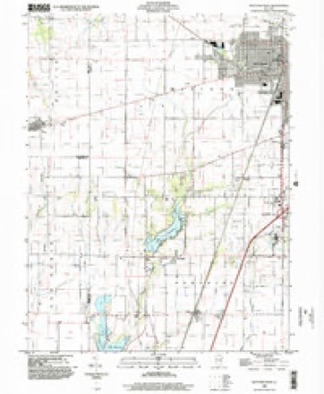
14 topographic sheets cover this place, the earliest surveyed in 1934 and the latest in 1998. It stands in Mattoon Township. It lies in ZIP code area 61938. The Survey maps it on the Mattoon West quadrangle. It stands 705 feet above sea level.
Topographic sheets covering this place
7 surveys from 14 printed sheetsMatched by testing this settlement's coordinate against the published boundary of every sheet in the United States Geological Survey's historical collection. Each opens the scanned sheet at the Survey.
- 1934 USGS Mattoon quadrangle1:62500, 2 printings
- 1937 USGS Mattoon quadrangle1:62500, 3 printings
- 1958 USGS Decatur quadrangle1:250000, 3 printings
- 1961 USGS Decatur quadrangle1:250000, 2 printings
- 1984 USGS Mattoon West quadrangle1:24000
- 1986 USGS Effingham quadrangle1:100000, 2 printings
- 1998 USGS Mattoon West quadrangle1:24000


In the county-history sources
44,148 words on this townshipThe History of Coles County, Illinois ... Map of Coles County; History of Illinois ... History of Northwest ... Constitution of the United States, Miscellaneous Matters, &c., &c, published 1879 names this settlement in its chapter on Mattoon Township. These are the passages that mention it, exactly as the scans read.
The Little Wabash courses through the southern part, flowing southward until it finds an outlet in the larger stream of that name. In the southern part, skirting this stream, is a strip of timber, known as the Wabash Point Timber, and is the locality where the earliest settlements were made. It is the only grove of native forest-trees, of any size, in the township. The best timber has long been cut away for use in the settlement of the country, what is left being used chiefly for firewood.
Passage source: The History of Coles County, Illinois ... Map of Coles County; History of Illinois ... History of Northwest ... Constitution of the United States, Miscellaneous Matters, &c., &c, published 1879.
James Nash, of whoiii mention has been made, died soon after his settlement. His was the first death in the community, and, for want of better tools, his coffin was made of split walnut puncheons. Mr. John Sawyer, Sr., now an old man, states that he was among those who made the coffin and dug the grave. He was a boy then, but distinctly remembers the circumstances. No train of carriages or gilded hearse bore his remains to their last resting-place. The few neighbors, true to one another, gathered silently at the cabin of their late associate, and, after a prayer, a song, and a few remarks by the good old Elder, laid him away in his rough coffin and lonely grave. Mr. Nash's death was the result of an injury received from carrying a log, with which to make a bee gum, on his shoulder. His death occurred on December 24, 1829. He was buried on Christmas Day, on a small bluff on the Little Wabash, near what is now the home of John Thomas, on the road from Mattoon to Paradise. This was the first grave dug for a white settler at the Wabash Point. One of his children has since been buried near him. The place Mr. Nash settled fell into the hands of William Langston, another early settler. It is now owned by William Clark. George Morris settled west of Mr. Langston's, his farm being the one now owned by the widow Langston. Next west of Mr. Morris was old Mr. Champion, father of Richard and William Champion. Further on south and west of the timber, in what is now Paradise Township, were the Curry s. Moores, Mclntoshes, Alexanders, Crosses, Brinegers and the Drakes. These were among the early settlers in this neighborhood, and in Paradise Township, where they are more particularly noticed.
Passage source: The History of Coles County, Illinois ... Map of Coles County; History of Illinois ... History of Northwest ... Constitution of the United States, Miscellaneous Matters, &c., &c, published 1879.
The season following the "deep snow " produced a very fair crop. A few more emigrants came to the settlement, and helped swell its numbers. No troubles with the Indians, who were very few, had been experienced in this part of Illinois, and everything here seemed in a fair way to prosperity. The northern portions of the State had, however, not been so fortunate in this regard. The Sac and Fox Indians, whose villages were near the junction of the Mississippi and Rock Rivers, had refused to leave their homes and remain beyond the Father of Waters. Black HaWk was chief of the Sac nation, whose principal village was on a romantically commanding site just above the mouth of Rock River. It had been their home for more than one hundred and fifty years, and was endeared to them by all the ties of home and human nature. By the seventh article of the treaty of 1804, the lands belonging to this nation were actually to accrue to the United States whenever they were sold to private individuals. Until such a time the Indians could remain on them and hunt as usual. In 1816, Black Hawk recognized the validity of this treaty ; but when, in 1829, some of the land in his native home was sold by the General Government and became thereby the property of others, he refused to recognize the treaty and to leave his village. Adjacent to it was a large field of nearly seven hundred acres which had been the common field for the cultivation of corn, pease and squashes. This field some of the more lawless whites seized before they had a right to it, and by wanton acts of cruelty to the Indian women and children provoked the savages to retaliatory measures. The whites also brought considerable whisky, which they sold and traded to lawless Indians, against the law and the express commands of the chiefs, which so enraged them at the carousals it produced, that in one or two instances the exasperated chieftains went to the houses of the settlers, and, knocking in the heads of the whisky barrels, emptied their contents on the ground. One thing brought on another until war was declared. The first call for volunteers was made by Gov. Reynolds early in the spring of 1831. No county south of St. Clair and east of Sangamon was included in this call, as it was thought the Indians could be easily driven across the Mississippi, where they had been for a time living. Black Hawk refused to go, and force was used. At first the Indians conquered the whites, and more calls were made for volunteers. Numbers responded from every part of the State. In these calls, Coles County furnished but few men, and the Wabash Point less than a dozen. Those that went were required to furnish their own guns, ammunition, horses, etc., and provisions enough to last them to one of the forts where the general rendezvous took place. There they were supplied with ammunition and food, and were attached to some regiment.
Passage source: The History of Coles County, Illinois ... Map of Coles County; History of Illinois ... History of Northwest ... Constitution of the United States, Miscellaneous Matters, &c., &c, published 1879.
Machine-read from a century-old scan, so expect the errors a machine makes: misspelled names, dropped words, stray characters.
Read the whole chapter on Mattoon Township - it names this place 8 more 8 times.
Mines and quarries near this place
3 within 5 milesRegional context, not property-specific evidence. The federal mineral resources record lists 3 workings within 5 miles of Wabash Point: 2 past producers, 1 producer. 1 still produces. What was taken out: Sand and Gravel, Construction, Stone, Crushed/Broken. Distance is straight-line from the map coordinates, so a quarry counted here may appear on a neighbouring settlement's page as well.
| Where | Site | Commodity | Status | Recorded |
|---|---|---|---|---|
| Mattoon City Eng | Stone, Crushed/Broken | Past Producer | ||
| Diepholz Dredge | Sand and Gravel, Construction | Past Producer | ||
| Matton Sand & Gravel | Sand and Gravel, Construction | Producer |
Nearest settlements
The eight closest, with where each one stands in the county. Distances are straight-line, computed from the Geographic Names Information System coordinates.
| Map | Place | Distance | Sheets |
|---|---|---|---|
| Magnet | 1.2 miles | 14 | |
| Paradise | 2.4 miles | 14 | |
| Lane Acres | 2.8 miles | 14 | |
| Lipsey | 3.4 miles | 14 | |
| Etna | 3.6 miles | 14 | |
| Mattoon | 3.8 miles | 14 | |
| Jones | 4.6 miles | 14 | |
| Rolling Green | 4.8 miles | 14 |
Elsewhere
Matched on this settlement's Geographic Names Information System number rather than its name, so it cannot be a different place of the same name in another state.
| Wikipedia article on Wabash Point | An encyclopaedic summary. Its text is share-alike, so it is linked here rather than copied. |
| Wikidata item Q14688219 | The structured record the population and elevation above come from. Public domain (CC0). |
Provenance
This settlement is recorded in the Geographic Names Information System as feature 1807924. The sheet list is computed by point-in-boundary test against the United States Geological Survey's historical topographic inventory. Both are works of the United States government and carry no copyright under 17 U.S.C. 105.
Mines and quarries. USGS Mineral Resources Data System (MRDS) https://mrdata.usgs.gov/mrds/ A work of the United States government, no copyright under 17 U.S.C. 105.