 Block
Waterman, Illinois
10 topographic sheets cover this place, the earliest surveyed in 1934 and the latest in 1994. It stands in Clinton Township. It lies in ZIP code area 60556. The Survey maps it on the Waterman quadrangle. 1,433 people lived here at the 2020 count. It stands 860 feet above sea level.
Population over time
2 figuresWaterman fell from 1,506 to 1,433 between 2010 and 2020. These are the recorded population figures Wikidata holds for this place, reached through the Geographic Names Information System number this page is keyed on rather than by name, so they belong to this place and not to another of the same name. Most are census counts, but not all are: an early figure may be a founding or settlement estimate, and an estimate published within five years of a census is left out. The change column is computed, and is left blank where more than 20 years separate a figure from the one before it, because a gap that long is not a change between two counts.
| Year | People | Change |
|---|---|---|
| 2010 | 1,506 | |
| 2020 | 1,433 | -73 (-5%) |
Topographic sheets covering this place
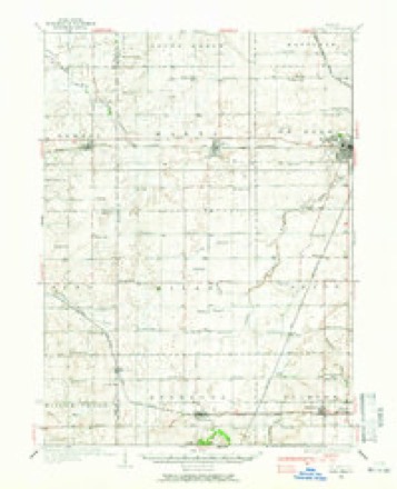
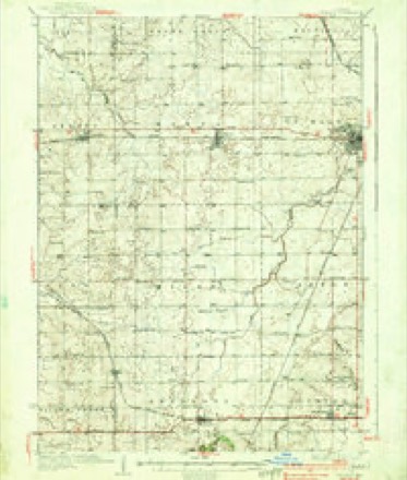
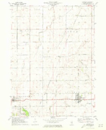
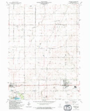
7 surveys from 10 printed sheetsMatched by testing this settlement's coordinate against the published boundary of every sheet in the United States Geological Survey's historical collection. Each opens the scanned sheet at the Survey.
- 1934 USGS De Kalb quadrangle1:62500
- 1937 USGS De Kalb quadrangle1:62500, 2 printings
- 1958 USGS Aurora quadrangle1:250000, 3 printings
- 1961 USGS Aurora quadrangle1:250000
- 1971 USGS Waterman quadrangle1:24000
- 1985 USGS Aurora quadrangle1:100000
- 1994 USGS Waterman quadrangle1:24000



In the county-history sources
5,003 words on this townshipPortrait and Biographical Album of DeKalb County, Illinois : Containing Full-page Portraits and Biographical Sketches of Prominent and Representative Citizens of the County : Together with Portraits and Biographies of All the Governors of Illinois, and of the Presidents of the United States : Also Containing a History of the County, from Its Earliest Settlement to the Present Time, published 1885 names this settlement in its chapter on Clinton Township. These are the passages that mention it, exactly as the scans read.
Englishman by the name of C. H. Duck stayed with him, with the intention of making this grove his home. He made an excavation into the bank, at the northwest end of the grove, lined it up with split logs (the remains of which can be seen by the visitor to-day) ; this hut constituted the second habitation built by white men in this town. Dr. C. H. Duck, as he was called, soon got tired of his claim, deserted it and went to Chicago, where he now resides.
Among the earliest settlers after Mr. Johnson, were W. B. Fields, Parker Thomas, Alexander McNish, Silas Mines, John and James Walker, Preston Curtiss, William Robertson, C. B. Whitford, Shelburne J. and Tracy Scott, Felix and Baldwin Woodruff, Sylvester Hall, N. S. and Thomas J. Greenwood, Benjamin Matteson, William Sherman, Sylvester and Elbert Hall, J. L. Bailey, J. L. Mighell, Aruney Hill, John Secor.
Clinton, as a civil township, was organized in 1850. At that time it included much more territory, bat was reduced to its present dimensions in 1853. The name was applied to the township from the fact a number of the settlers were from Clinton, New York, and were attached to the name.
Machine-read from a century-old scan, so expect the errors a machine makes: misspelled names, dropped words, stray characters.
Read the whole chapter on Clinton Township - it names this place 13 more 13 times.
Mines and quarries near this place
2 within 5 milesRegional context, not property-specific evidence. The federal mineral resources record lists 2 workings within 5 miles of Waterman: 2 past producers. None of them still produces. What was taken out: Sand and Gravel, Construction. Distance is straight-line from the map coordinates, so a quarry counted here may appear on a neighbouring settlement's page as well.
| Where | Site | Commodity | Status | Recorded |
|---|---|---|---|---|
| Clinton Pit | Sand and Gravel, Construction | Past Producer | ||
| Weidner Pit | Sand and Gravel, Construction | Past Producer |
Storms near this place
26 since 2003Regional context, not property-specific evidence. The National Weather Service names Waterman in 26 storm reports between 2003 and 2024: 15 thunderstorm wind, 7 hail, 2 tornado, 1 flood. No death or injury is recorded in these reports. Each account below is quoted exactly as the forecast office filed it, from the NOAA Storm Events Database, and each date opens the federal record of that event.
| When | Event | Place named | Harm | What the report says |
|---|---|---|---|---|
| September 2006 | Thunderstorm Wind | Waterman | $200,000 | Six, 75 foot tall power transmission poles were blown down and several trees were also blown down. Corn fields were flattened by wind. |
| July 2011 | Thunderstorm Wind | Waterman | $15,000 | Winds estimated to 70 mph caused several trees to snap. One large oak tree fell onto a house and car, but damage to property was minimal. The press box at DeKalb High School was blown over. The building was secured by pilings set in concrete, which were pulled out of the ground. Power lines were downed near Normal Road and 10th Street. A tree limb fell onto a home and damaged the gas meter. Portions of a corn field were flattened in Waterman. |
| September 2006 | Thunderstorm Wind | Waterman | $10,000 | A tree was blown down onto a car. Numerous tree limbs also blown down. |
| February 2024 | Tornado (EFU) | Waterman | - | High resolution satellite imagery showed a ground swirl pattern in a field beginning near Miller Road and IL-23 northeast of Waterman. The tornado moved through a field to the southeast, then turned to the east as it crossed Crego Road. The tornado lifted just east of Crego Road. Because this tornado did not impact any buildings or trees, no intensity estimates could be made, and thus, this tornado was assigned an EF-U rating. |
| April 2023 | Thunderstorm Wind | Waterman | - | Power lines were blown down along Pine Street. |
| April 2023 | Thunderstorm Wind | Waterman | - | Four to five utility poles were leaning across the road at Route 23 and Preserve Road. |
| June 2023 | Thunderstorm Wind | Waterman | - | A photo shared on social media showed a large tree limb 6 to 10 inches in diameter snapped off a tree. |
| August 2021 | Thunderstorm Wind | Waterman | - | Siding was ripped off the side of a building in Waterman. |
| May 2011 | Flash Flood | Waterman | - | Water was reported flowing over multiple locations on Route 23, southeast of Waterman. |
| November 2010 | Hail | Waterman | - | Hail was estimated between quarter and golf ball size. |
| June 2009 | Thunderstorm Wind | Waterman | - | Large tree limbs were blown down with one limb on a power line. |
| February 2008 | Flood | Waterman | - | A creek was reported out of its banks between Waterman and Hinckley with 19 acres of a farm field flooded. |
| August 2008 | Thunderstorm Wind | Waterman | - | Numerous trees were blown down. |
| May 2007 | Thunderstorm Wind | Waterman | - | Tree limbs were blown off an Oak tree. |
| September 2006 | Thunderstorm Wind | Waterman | - | Several trees were blown down. |
| September 2006 | Thunderstorm Wind | Waterman | - | A tree was blown down near Miller and Waterman Roads. |
| May 2004 | Thunderstorm Wind | Waterman | - | A semi tractor-trailer was blown off the road at the intersection of Miller Road and Route 23. |
| May 2004 | Tornado (F0) | Waterman | - | The tornado touched down in a rural area and no significant damage was reported. |
| April 2023 | Hail | Waterman | - | no account filed |
| August 2022 | Hail | Waterman | - | no account filed |
| May 2019 | Hail | Waterman | - | no account filed |
| July 2016 | Hail | Waterman | - | no account filed |
| June 2015 | Hail | Waterman | - | no account filed |
| August 2014 | Hail | Waterman | - | no account filed |
| August 2012 | Thunderstorm Wind | Waterman | - | no account filed |
| May 2003 | Thunderstorm Wind | Waterman | - | no account filed |
Nearest settlements
The eight closest, with where each one stands in the county. Distances are straight-line, computed from the Geographic Names Information System coordinates.
| Map | Place | Distance | Sheets |
|---|---|---|---|
| McGirr | 3.5 miles | 10 | |
| Shabbona Grove | 5.1 miles | 9 | |
| Afton Center | 5.3 miles | 10 | |
| Shabbona | 5.5 miles | 9 | |
| Elva | 6.4 miles | 10 | |
| Franks | 6.5 miles | 9 | |
| Hinckley | 7.0 miles | 8 | |
| Rollo | 9.0 miles | 8 |
Elsewhere
Matched on this settlement's Geographic Names Information System number rather than its name, so it cannot be a different place of the same name in another state.
| Wikipedia article on Waterman | An encyclopaedic summary. Its text is share-alike, so it is linked here rather than copied. |
| Wikidata item Q2438897 | The structured record the population and elevation above come from. Public domain (CC0). |
Provenance
This settlement is recorded in the Geographic Names Information System as feature 422137. The sheet list is computed by point-in-boundary test against the United States Geological Survey's historical topographic inventory. Both are works of the United States government and carry no copyright under 17 U.S.C. 105.
Mines and quarries. USGS Mineral Resources Data System (MRDS) https://mrdata.usgs.gov/mrds/ A work of the United States government, no copyright under 17 U.S.C. 105.
Storms. NOAA National Centers for Environmental Information, Storm Events Database https://www.ncei.noaa.gov/stormevents/ A work of the United States government, no copyright under 17 U.S.C. 105. Narratives are quoted verbatim from the National Weather Service report and are not edited or summarised.