 Block
Bainter Town, Indiana
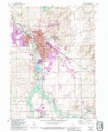
12 topographic sheets cover this place, the earliest surveyed in 1953 and the latest in 1985. It stands in Jackson Township. It lies in ZIP code area 46553. The Survey maps it on the Goshen quadrangle. It stands 810 feet above sea level.
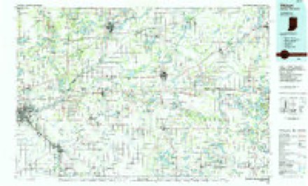
Topographic sheets covering this place
4 surveys from 12 printed sheetsMatched by testing this settlement's coordinate against the published boundary of every sheet in the United States Geological Survey's historical collection. Each opens the scanned sheet at the Survey.
- 1953 USGS Fort Wayne quadrangle1:250000, 4 printings
- 1956 USGS Fort Wayne quadrangle1:250000, 2 printings
- 1959 USGS Goshen quadrangle1:24000, 4 printings
- 1985 USGS Elkhart quadrangle1:100000, 2 printings


What happened here
An account from the chapter on Jackson township. The inset identifies its exact source book and publication year.
History Of Elkhakt Countt
Catharina J., Mark B., Lafayette H. and one who died young. Mark B. enlisted in the Union army during the Eebellion, and was killed in the battle of Jonesboro, Georgia. He was a worthy young man, and his loss was severely felt in the family circle. Mr. Thompson's patriotism was manifested by sending three boys to the army during the Eebellion, and by carrying on the farm alone at the age of 60.
In the county-history sources
18,451 words on this townshipHistory of Elkhart County, Indiana : Together with Sketches of Its Cities ... and Biographies of Representative Citizens : History of Indiana, Embracing Accounts of the Pre-historic Races .., published 1881 has no passage naming this settlement, which was common for smaller places. Its township is covered in full.
The chapter on Jackson Township covers the township.
Read the chapter on Jackson Township - 18,451 words.
Mines and quarries near this place
5 within 5 milesRegional context, not property-specific evidence. The federal mineral resources record lists 5 workings within 5 miles of Bainter Town: 5 producers. All of them still produce. What was taken out: Sand and Gravel, Construction, Stone. Distance is straight-line from the map coordinates, so a quarry counted here may appear on a neighbouring settlement's page as well.
| Where | Site | Commodity | Status | Recorded |
|---|---|---|---|---|
| Elkhart Co. Hwy. Dept. - Own Crews | Stone | Producer | ||
| Elkhart County Gravel, Inc. Pit | Sand and Gravel, Construction | Producer | ||
| Elkhart County Highway Department | Sand and Gravel, Construction | Producer | ||
| Elkhart Gravel Pit | Sand and Gravel, Construction | Producer | ||
| Fidler Inc. | Sand and Gravel, Construction | Producer |
Nearest settlements
The eight closest, with where each one stands in the county. Distances are straight-line, computed from the Geographic Names Information System coordinates.
| Map | Place | Distance | Sheets |
|---|---|---|---|
| New Paris | 1.3 miles | 12 | |
| Waterford Mills | 1.9 miles | 12 | |
| Benton | 3.0 miles | 12 | |
| Goshen | 4.6 miles | 12 | |
| Foraker | 5.7 miles | 12 | |
| Millersburg | 6.6 miles | 12 | |
| Southwest | 6.9 miles | 12 | |
| Midway | 8.0 miles | 12 |
Elsewhere
Matched on this settlement's Geographic Names Information System number rather than its name, so it cannot be a different place of the same name in another state.
| Wikipedia article on Bainter Town | An encyclopaedic summary. Its text is share-alike, so it is linked here rather than copied. |
| Wikidata item Q4848572 | The structured record the population and elevation above come from. Public domain (CC0). |
Provenance
This settlement is recorded in the Geographic Names Information System as feature 430414. The sheet list is computed by point-in-boundary test against the United States Geological Survey's historical topographic inventory. Both are works of the United States government and carry no copyright under 17 U.S.C. 105.
Mines and quarries. USGS Mineral Resources Data System (MRDS) https://mrdata.usgs.gov/mrds/ A work of the United States government, no copyright under 17 U.S.C. 105.