 Block
Desoto, Indiana
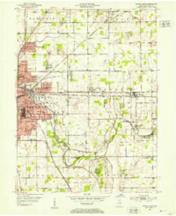
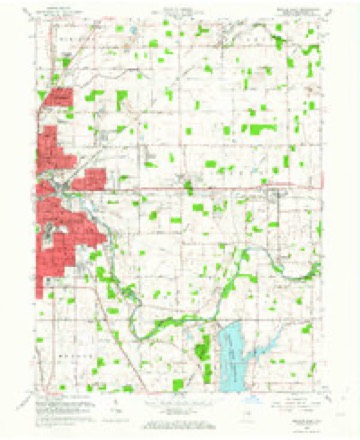
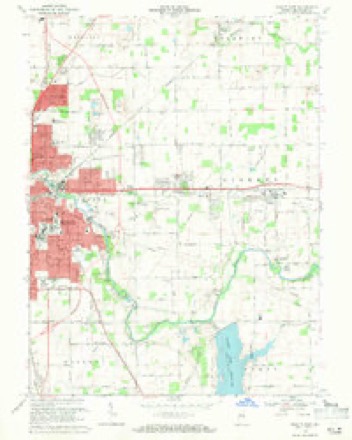
15 topographic sheets cover this place, the earliest surveyed in 1952 and the latest in 1986. It stands in Delaware Township. It lies in ZIP code area 47303. The Survey maps it on the Muncie East quadrangle. It stands 938 feet above sea level.
Topographic sheets covering this place
6 surveys from 15 printed sheetsMatched by testing this settlement's coordinate against the published boundary of every sheet in the United States Geological Survey's historical collection. Each opens the scanned sheet at the Survey.
- 1952 USGS Muncie East quadrangle1:24000, 2 printings
- 1953 USGS Muncie quadrangle1:250000, 5 printings
- 1956 USGS Muncie quadrangle1:250000
- 1962 USGS Muncie East quadrangle1:24000
- 1969 USGS Muncie East quadrangle1:24000, 3 printings
- 1986 USGS Muncie quadrangle1:100000, 3 printings



In the county-history sources
36,998 words on this townshipHistory of Delaware County, Indiana : with Illustrations and Biographical Sketches of Some of Its Prominent Men and Pioneers, published 1881 names this settlement in its chapter on Delaware Township. These are the passages that mention it, exactly as the scans read.
At the present site of the Zehner Mill, within the limits of the village of Sharon, the building begun in 1835 by Granville Hastings was completed by some one whose name cannot now be ascertained. It was afterward sold to Joseph Godlove & Son, by whom it was operated for several years, and finally sold to John Shafer, who continued the business until 1856. In that year, Benjamin Zehner, the present proprietor, purchased the mill of Shafer. In 1864, Mr. Zehner erected the present mill on the same site. - It is a frame building, three stories high, with a basement, and has four run of buhrs. It has two turbine wheels - one of the Smalley patent, and the other of Springfield, Ohio, patent. Like the Black Mill, in the northwest part of the township, it is supplied with all the appliances for being operated by steam power. It is conducted as a custom mill. Attached to its other machinery is a circular
Passage source: History of Delaware County, Indiana : with Illustrations and Biographical Sketches of Some of Its Prominent Men and Pioneers, published 1881.
Ten years later (September, 1869), the enumeration showed an inerease of only twenty-two children of school age. At that date, there were 224 males and 203 females, or a total of 427. The following is an extract from the Trustees' report to the County Commissioners, March 6, 1860, showing the amount received and paid out of the school funds and other township funds, during the preceding year:
Passage source: History of Delaware County, Indiana : with Illustrations and Biographical Sketches of Some of Its Prominent Men and Pioneers, published 1881.
There are ten schoolhouses in the township at the present time, the following-named persons being the teachers for the ensuing term: District No. 1, J. O. Lewellen; District No. 2, Miss Jennie Woolpert; District No. 4, Miss Kessler; District No. 5, Miss Anna Murphey; District No. 6, Mr. Polhemus; District No. 7, Flavius Sparks; District No. 8 F .M. Hurtt; District No. 9, Arthur Pershing; District No. 10, Stephen Richey. As yet, there is no teacher engaged for District No. 3.
Passage source: History of Delaware County, Indiana : with Illustrations and Biographical Sketches of Some of Its Prominent Men and Pioneers, published 1881.
Machine-read from a century-old scan, so expect the errors a machine makes: misspelled names, dropped words, stray characters.
Read the whole chapter on Delaware Township - it names this place 2 more 2 times.
Mines and quarries near this place
4 within 5 milesRegional context, not property-specific evidence. The federal mineral resources record lists 4 workings within 5 miles of Desoto: 3 producers, 1 past producer. 3 still produce. What was taken out: Sand and Gravel, Construction. Distance is straight-line from the map coordinates, so a quarry counted here may appear on a neighbouring settlement's page as well.
| Where | Site | Commodity | Status | Recorded |
|---|---|---|---|---|
| Irving Bros. Stone & Gravel Pit | Sand and Gravel, Construction | Producer | ||
| J and K Gravel Pit | Sand and Gravel, Construction | Past Producer | ||
| Muncie Pit and Mill | Sand and Gravel, Construction | Producer | ||
| Shick Sand & Gravel Pit | Sand and Gravel, Construction | Producer |
Storms near this place
4 since 2013Regional context, not property-specific evidence. The National Weather Service names Desoto in 4 storm reports between 2013 and 2026: 2 thunderstorm wind, 1 flash flood, 1 hail. No death or injury is recorded in these reports. Each account below is quoted exactly as the forecast office filed it, from the NOAA Storm Events Database, and each date opens the federal record of that event.
| When | Event | Place named | Harm | What the report says |
|---|---|---|---|---|
| March 2022 | Thunderstorm Wind | Desoto | $18,000 | Thunderstorm winds blew poles down at intersection of County Roads 650 East and 500 North. |
| March 2022 | Thunderstorm Wind | Desoto | $10,000 | Poles downed by thunderstorm winds at County Roads 650 East and 500 North. |
| December 2013 | Flash Flood | Desoto | $5,000 | Flash flooding was reported near the intersection of County Roads 650 East and 500 North. A number of other locations in Delaware County were also experiencing flash flooding. |
| March 2026 | Hail | Desoto | - | no account filed |
Nearest settlements
The eight closest, with where each one stands in the county. Distances are straight-line, computed from the Geographic Names Information System coordinates.
| Map | Place | Distance | Sheets |
|---|---|---|---|
| Woodland Park | 3.6 miles | 15 | |
| Aultshire | 3.7 miles | 15 | |
| Hyde Park | 3.8 miles | 15 | |
| Royerton | 4.0 miles | 12 | |
| Selma | 4.0 miles | 15 | |
| Liberty Corners | 4.2 miles | 15 | |
| Morningside | 4.2 miles | 15 | |
| Albany | 4.6 miles | 11 |
Elsewhere
Matched on this settlement's Geographic Names Information System number rather than its name, so it cannot be a different place of the same name in another state.
| Wikipedia article on Desoto | An encyclopaedic summary. Its text is share-alike, so it is linked here rather than copied. |
| Wikidata item Q5244092 | The structured record the population and elevation above come from. Public domain (CC0). |
Provenance
This settlement is recorded in the Geographic Names Information System as feature 449648. The sheet list is computed by point-in-boundary test against the United States Geological Survey's historical topographic inventory. Both are works of the United States government and carry no copyright under 17 U.S.C. 105.
Mines and quarries. USGS Mineral Resources Data System (MRDS) https://mrdata.usgs.gov/mrds/ A work of the United States government, no copyright under 17 U.S.C. 105.
Storms. NOAA National Centers for Environmental Information, Storm Events Database https://www.ncei.noaa.gov/stormevents/ A work of the United States government, no copyright under 17 U.S.C. 105. Narratives are quoted verbatim from the National Weather Service report and are not edited or summarised.