 Block
Hovey, Indiana
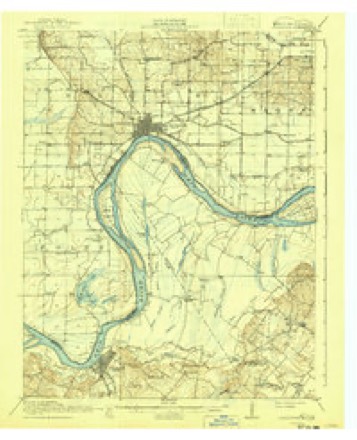
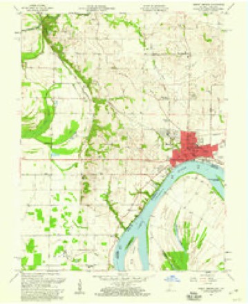
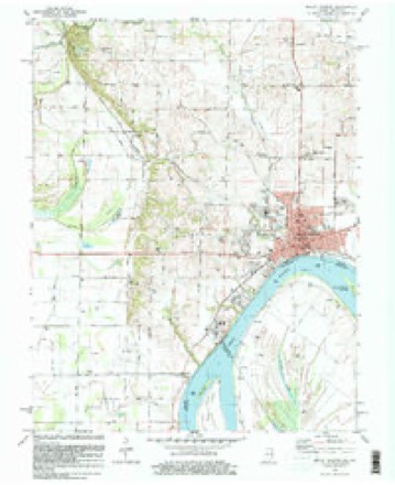
19 topographic sheets cover this place, the earliest surveyed in 1917 and the latest in 1991. It stands in Black Township. It lies in ZIP code area 47620. It stands on Smith Creek. The Survey maps it on the Mount Vernon quadrangle.
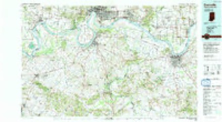
Topographic sheets covering this place
9 surveys from 19 printed sheetsMatched by testing this settlement's coordinate against the published boundary of every sheet in the United States Geological Survey's historical collection. Each opens the scanned sheet at the Survey.
- 1917 USGS Uniontown quadrangle1:62500, 6 printings
- 1952 USGS Mount Vernon quadrangle1:24000, 2 printings
- 1954 USGS Evansville quadrangle1:250000
- 1957 USGS Evansville quadrangle1:250000, 3 printings
- 1957 USGS Mount Vernon quadrangle1:24000, 2 printings
- 1961 USGS Evansville quadrangle1:250000, 2 printings
- 1981 USGS Mount Vernon quadrangle1:24000
- 1986 USGS Evansville quadrangle1:100000
- 1991 USGS Evansville quadrangle1:100000
In the county-history sources
35,592 words on this townshipHistory of Posey County, Indiana : from the Earliest Times to the Present, with Biographical Sketches, Reminiscences, Notes, Etc. : Together with an Extended History of the Northwest, the Indiana Territory, and the State of Indiana, published 1886 names this settlement in its chapter on Black Township. These are the passages that mention it, exactly as the scans read.
James M. Barter, who was attending college at Greencastle, Ind., when the war with Mexico broke out, and in January, 1847, took French leave of absence and joined the Fifth Regiment of Indiana Volunteers, commanded by Col. James H. Lane, with which he served as color-guard on the line from Vera Cruz to the City of Mexico and five miles beyond, under Gen. Scott, until the close of the war. During the war of the Rebellion he was a captain in the First Indiana Cavalry, commanded by Col. Conrad Baker (subsequently governor of Indiana) and in 1879 he established the Weekly Sun, of Mount Vernon, Ind., a Republican newspaper of which he is now (1885) editor and manager. October 9, 1858, at Elizabethtown, 111., he was united in marriage to Miss Augusta Kate Lee Leflar (died March 15, 1885), by whom he has five sons now living.
Passage source: History of Posey County, Indiana : from the Earliest Times to the Present, with Biographical Sketches, Reminiscences, Notes, Etc. : Together with an Extended History of the Northwest, the Indiana Territory, and the State of Indiana, published 1886.
Rebellion wlien he enlisted as first lieutenant of Company H, First Indiana Cavalry and remained with his regiment until the following January when he resigned and was engaged in the quartermaster's department at Memphis, Tenn., until the following November, when he returned to Mount Vernon and resumed his trade, continuing until January, 1864, when he enlisted as a private in Company K, One Hundred and Forty-fourth Indiana Volunteer Infantry and was appointed second lieutenant of the company which position he held till the close of the war. He then returned home and that same year was elected first marshal under the city charter and served three years. He was defeated in 1868, but filled out part of his opponent's time as he (the opponent) had been convicted and sentenced to State prison for handling counterfeit money. After that he held the office eight years by re-election. In 1878 he was defeated by twenty votes for nomination on the Democratic ticket for sheriff but served again as city marshal from 1880 to 1882, and four years as deputy sheriff and jailer. In November, 1882, he was elected by his party to the sheriff's office and was re-elected in 1884. May 28, 1863, he married Anna E. Musselman, a native of the same place as our subject. They became the parents of ten children, seven of whom are living: Cora A. (wife of Lewis Stinson), Augusta M., George B. McClellan, Anna Belle, Zadia E., Helen L. and Edward S. Mr. Hayes' political views have always been Democratic. He is a Mason and a member of the I. O. O. F. and G. A. E., and he is recognized as an upright, enterprising citizen and a courteous able official.
Passage source: History of Posey County, Indiana : from the Earliest Times to the Present, with Biographical Sketches, Reminiscences, Notes, Etc. : Together with an Extended History of the Northwest, the Indiana Territory, and the State of Indiana, published 1886.
EOBEET K. HUNTEE, a wealtliy retired citizen of Mount Vernon, Ind., was born in County Down, Ireland, November 2, 1811. He is a son of James and Ellen (Eobb) Hunter, who were natives of Scotland. The father who was a manufacturer of linen and woolen goods, started to the United States in 1832, with his family, but died while en route on the Atlantic off Cape Breton, and was buried in the ocean. The mother died a month later of cholera while on Lake Erie, and a day later one of his sisters died of the same dread disease. Eobert K. came with the surviving members of the family to Pittsburgh, Penn., where he engaged in the retail boot and shoe business, and later engaged in farming in the State. In 1857 he immigrated west and located on a farm near Mount Vernon, Ind., where he resided twelve years. In 1869 he moved to Mount Vernon where he has since made his home, and engaged in buying and selling real estate. Mr. Hunter has met with more than ordinary success financially, and has now a very handsome competency. In 1838 he married Martha Pollock, a native of Pennsylvania, who died October 4, 1872, leaving no children. Mr. Hunter is an unswerving Democrat, and is an elder and member of the Presbyterian, Church. He is recognized by all as one of the leading citizens of the town and county, and a thoroughly upright man.
Passage source: History of Posey County, Indiana : from the Earliest Times to the Present, with Biographical Sketches, Reminiscences, Notes, Etc. : Together with an Extended History of the Northwest, the Indiana Territory, and the State of Indiana, published 1886.
Machine-read from a century-old scan, so expect the errors a machine makes: misspelled names, dropped words, stray characters.
Read the whole chapter on Black Township - it names this place 2 more 2 times.
Fires near this place
1 since 2010Regional context, not property-specific evidence. The federal wildfire occurrence database lists 1 fire within 5 miles of Hovey in 2010, burning about 6 acres in total. None started naturally. None was recorded as arson. Distance is straight-line from the map coordinates, so a fire counted here may appear on a neighbouring settlement's page as well.
| Reported cause | Fires |
|---|---|
| Missing data/not specified/undetermined | 1 |
The most recent of them, most recent first, with the day each was reported and the service that recorded it.
| Date | Cause | Size | Reported by | Name on the report |
|---|---|---|---|---|
| 24 October 2010 | Missing data/not specified/undetermined | 6.0 acres | Kentucky Division of Forestry | EGYPT FIRE |
Settlements close enough to share some of these fires:
Mines and quarries near this place
3 within 5 milesRegional context, not property-specific evidence. The federal mineral resources record lists 3 workings within 5 miles of Hovey: 2 past producers, 1 producer. 1 still produces. What was taken out: Sand and Gravel, Construction, Stone. Distance is straight-line from the map coordinates, so a quarry counted here may appear on a neighbouring settlement's page as well.
| Where | Site | Commodity | Status | Recorded |
|---|---|---|---|---|
| Posey Co. Hwy. Dept. | Stone | Producer | ||
| Mcdonald Sand & Gravel | Sand and Gravel, Construction | Past Producer | ||
| Mcdonald Sand and Gravel Co. Pit | Sand and Gravel, Construction | Past Producer |
Storms near this place
21 since 2001Regional context, not property-specific evidence. The National Weather Service names Hovey in 21 storm reports between 2001 and 2025: 15 flood, 4 hail, 1 thunderstorm wind, 1 tornado. No death or injury is recorded in these reports. Each account below is quoted exactly as the forecast office filed it, from the NOAA Storm Events Database, and each date opens the federal record of that event.
| When | Event | Place named | Harm | What the report says |
|---|---|---|---|---|
| April 2024 | Tornado (EF0) | Hovey | $1,000 | An EF-1 (peak of EF-0 for the Posey County portion) tornado that began in far northeast Gallatin County, IL crossed into extreme southwest Posey County, IN during the early morning hours of Tuesday, April 2nd, just south of the confluence of the Little Wabash and Wabash Rivers. The tornado lifted shortly after crossing into Posey County, producing tree damage visible from the Illinois side of the river. Estimated peak winds on the Posey County side of the track were 80 mph. |
| December 2011 | Flood | Hovey | $1,000 | Minor flooding of the Ohio River occurred. Low-lying fields were underwater. Farmland and some roads were flooded in places southwest and west of Mt. Vernon. |
| February 2025 | Flood | Hovey | - | Minor flooding of bottomland and surrounding low-lying areas occurred near J.T. Myers Dam. The minor flooding continued into early March. |
| February 2025 | Flood | Hovey | - | Minor flooding of farmland and a few county roads occurred near Mt Vernon. |
| May 2025 | Hail | Hovey | - | Penny size hail was measured in far southern Posey County, associated with a supercell which produced a tornado in Union County, Kentucky. |
| December 2018 | Flood | Hovey | - | Minor flooding occurred along the Ohio River. Low-lying woods and fields near the river were inundated. The flooding continued into the new year. |
| January 2017 | Flood | Hovey | - | Minor flooding occurred along the Ohio River. Low-lying cropland was underwater, however it was mostly dormant in the winter season. |
| February 2016 | Flood | Hovey | - | Minor flooding occurred along the Ohio River. Some low-lying fields and woods in the bottomlands were underwater. The river continued rising into early March. |
| March 2016 | Flood | Hovey | - | Minor flooding continued from February along the Ohio River. Some low-lying woods and fields in the bottomlands were underwater. |
| December 2015 | Flood | Hovey | - | The Ohio River began its rise above flood stage late in the month. The river crested in early January. Minor flooding of low-lying fields and woodlands occurred. Some river access roads were underwater. |
| January 2014 | Flood | Hovey | - | Minor flooding lingered along the Wabash River through the first few days of 2014. Low-lying woods and fields near the river were underwater. Some stripper oil wells near the river were flooded. |
| March 2014 | Flood | Hovey | - | Minor flooding occurred along the Ohio River. Low-lying fields and woodlands near the river were inundated. The flooding continued from late February. |
| March 2010 | Flood | Hovey | - | Minor flooding of the Ohio River occurred at Mount Vernon. At the Mount Vernon river gage, where flood stage is 35 feet, the river crested at 37.90 feet on the 20th. Minor flooding of low-lying fields and woodlands occurred. |
| May 2007 | Thunderstorm Wind | Hovey | - | Wind gusts were estimated from 55 to 60 MPH along with the nickel-size hail. |
| January 2006 | Hail | Hovey | - | Occurred near the J.T. Myers Lock and Dam on the Ohio River. |
| August 2001 | Hail | Hovey | - | Quarter-size hail fell in Point Township. |
| February 2024 | Flood | Hovey | - | no account filed |
| April 2024 | Flood | Hovey | - | no account filed |
| May 2020 | Flood | Hovey | - | no account filed |
| February 2011 | Flood | Hovey | - | no account filed |
| May 2007 | Hail | Hovey | - | no account filed |
Nearest settlements
The eight closest, with where each one stands in the county. Distances are straight-line, computed from the Geographic Names Information System coordinates.
| Map | Place | Distance | Sheets |
|---|---|---|---|
| Prairie | 2.9 miles | 19 | |
| Mount Vernon | 3.7 miles | 19 | |
| Dead Mans Crossing | 4.9 miles | 19 | |
| Upton | 5.1 miles | 19 | |
| Oak Grove | 5.7 miles | 23 | |
| Erwin | 6.2 miles | 19 | |
| Farmersville | 6.5 miles | 19 | |
| Grafton | 7.6 miles | 21 |
Provenance
This settlement is recorded in the Geographic Names Information System as feature 436531. The sheet list is computed by point-in-boundary test against the United States Geological Survey's historical topographic inventory. Both are works of the United States government and carry no copyright under 17 U.S.C. 105.
Wildfire. Short, Karen C. 2022. Spatial wildfire occurrence data for the United States, 1992-2020 [FPA_FOD_20221014]. 6th Edition. Fort Collins, CO: Forest Service Research Data Archive. https://doi.org/10.2737/RDS-2013-0009.6 Collected with United States Government funding and usable without additional permissions or fees.
Mines and quarries. USGS Mineral Resources Data System (MRDS) https://mrdata.usgs.gov/mrds/ A work of the United States government, no copyright under 17 U.S.C. 105.
Storms. NOAA National Centers for Environmental Information, Storm Events Database https://www.ncei.noaa.gov/stormevents/ A work of the United States government, no copyright under 17 U.S.C. 105. Narratives are quoted verbatim from the National Weather Service report and are not edited or summarised.