 Block
Ogden, Indiana
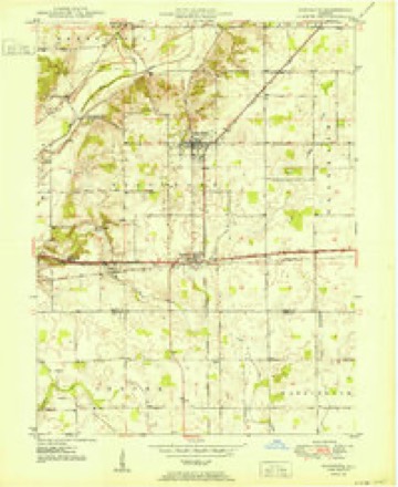
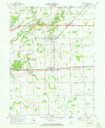
10 topographic sheets cover this place, the earliest surveyed in 1950 and the latest in 1986. It stands in Spiceland Township. It lies in ZIP code area 46148. The Survey maps it on the Dunreith quadrangle.
Topographic sheets covering this place
5 surveys from 10 printed sheetsMatched by testing this settlement's coordinate against the published boundary of every sheet in the United States Geological Survey's historical collection. Each opens the scanned sheet at the Survey.
- 1950 USGS Dunreith quadrangle1:24000
- 1953 USGS Cincinnati quadrangle1:250000, 3 printings
- 1957 USGS Cincinnati quadrangle1:250000
- 1970 USGS Dunreith quadrangle1:24000, 3 printings
- 1986 USGS New Castle quadrangle1:100000, 2 printings



In the county-history sources
20,592 words on this townshipHistory of Henry County, Indiana : Together with Sketches of Its Cities, Villages, and Towns ... Also a Condensed History of Indiana, Embracing Accounts of Pre-historic Races, Aborigines, Winnebago and Black Hawk Wars, and a Brief Review of Its Civil and Political History., published 1884 names this settlement in its chapter on Spiceland Township. These are the passages that mention it, exactly as the scans read.
Spiceland Township contains a valuable stone quarry. The villages of Spiceland. Ogden and Dunreith are all railroad stations having business interests of importance. The township officers for 1884-'5areJ. T. Unthank, Trustee; David Wickers^m and C. A. Swaim, Justices.
Passage source: History of Henry County, Indiana : Together with Sketches of Its Cities, Villages, and Towns ... Also a Condensed History of Indiana, Embracing Accounts of Pre-historic Races, Aborigines, Winnebago and Black Hawk Wars, and a Brief Review of Its Civil and Political History., published 1884.
The village of Ogden, one of the oldest villages in the county, was laid out by Hiram Crum, in December, 1829, and at first called Middletown. It is situated about half way between Richmond and Indianapolis, on the old National road and the Pan Handle Railroad. In 1838 the name was changed from Middletown to Ogden by a special act of the Legislature.
Passage source: History of Henry County, Indiana : Together with Sketches of Its Cities, Villages, and Towns ... Also a Condensed History of Indiana, Embracing Accounts of Pre-historic Races, Aborigines, Winnebago and Black Hawk Wars, and a Brief Review of Its Civil and Political History., published 1884.
Ogden was formerly an important business point, but its prosperity has steadily declined since the war. In 1851 there were, among the business interests, two stores, kept by William W. Williams and Silas Cooper; a drug store, by J. Hodson : James Steele, blacksmith; Edwin Swaim, wagon-maker; C. A. Swaim, cabinet-maker; Jonathan Goble, shoe-maker and Postmaster.
Passage source: History of Henry County, Indiana : Together with Sketches of Its Cities, Villages, and Towns ... Also a Condensed History of Indiana, Embracing Accounts of Pre-historic Races, Aborigines, Winnebago and Black Hawk Wars, and a Brief Review of Its Civil and Political History., published 1884.
Machine-read from a century-old scan, so expect the errors a machine makes: misspelled names, dropped words, stray characters.
Read the whole chapter on Spiceland Township - it names this place 14 more 14 times.
Mines and quarries near this place
2 within 5 milesRegional context, not property-specific evidence. The federal mineral resources record lists 2 workings within 5 miles of Ogden: 1 producer, 1 past producer. 1 still produces. What was taken out: Sand and Gravel, Construction. Distance is straight-line from the map coordinates, so a quarry counted here may appear on a neighbouring settlement's page as well.
| Where | Site | Commodity | Status | Recorded |
|---|---|---|---|---|
| Bells Gravel Pit | Sand and Gravel, Construction | Producer | ||
| Omar V. Davis Pit | Sand and Gravel, Construction | Past Producer |
Nearest settlements
The eight closest, with where each one stands in the county. Distances are straight-line, computed from the Geographic Names Information System coordinates.
| Map | Place | Distance | Sheets |
|---|---|---|---|
| Dunreith | 1.6 miles | 10 | |
| Raysville | 2.3 miles | 9 | |
| Knightstown | 3.1 miles | 9 | |
| Spiceland | 3.1 miles | 10 | |
| Stone Quarry Mills | 3.3 miles | 10 | |
| Knox | 4.2 miles | 9 | |
| Greensboro | 5.2 miles | 11 | |
| Grant City | 6.1 miles | 9 |
Provenance
This settlement is recorded in the Geographic Names Information System as feature 440515. The sheet list is computed by point-in-boundary test against the United States Geological Survey's historical topographic inventory. Both are works of the United States government and carry no copyright under 17 U.S.C. 105.
Mines and quarries. USGS Mineral Resources Data System (MRDS) https://mrdata.usgs.gov/mrds/ A work of the United States government, no copyright under 17 U.S.C. 105.