 Block
Webster, Indiana
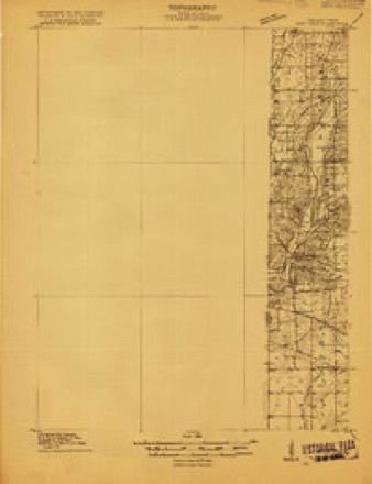
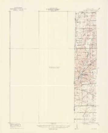
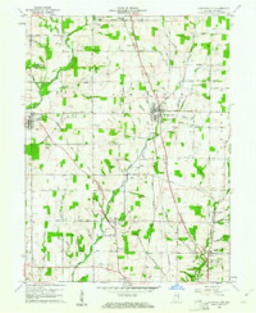
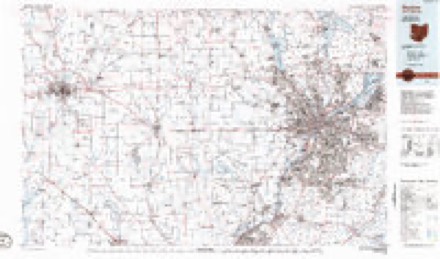
9 topographic sheets cover this place, the earliest surveyed in 1915 and the latest in 1986. It stands in Webster Township. It lies in ZIP code area 47392. It stands on Dover Run. The Survey maps it on the Fountain City quadrangle. It stands 1,060 feet above sea level.
Topographic sheets covering this place
6 surveys from 9 printed sheetsMatched by testing this settlement's coordinate against the published boundary of every sheet in the United States Geological Survey's historical collection. Each opens the scanned sheet at the Survey.
- 1915 USGS New Paris quadrangle1:48000
- 1918 USGS New Paris quadrangle1:62500
- 1953 USGS Cincinnati quadrangle1:250000, 3 printings
- 1957 USGS Cincinnati quadrangle1:250000
- 1960 USGS Fountain City quadrangle1:24000
- 1986 USGS Dayton quadrangle1:100000, 2 printings


In the county-history sources
11,911 words on this townshipHistory of Wayne County, Indiana : Together with Sketches of Its Cities, Villages and Towns, published 1884 names this settlement in its chapter on Webster Township. These are the passages that mention it, exactly as the scans read.
Webster, the youngest of Wayne County townships, is also the smallest township in the county. It is about fout- and a quarter miles in length and three and a half in width, and has an area of about fifteen square miles. Four townships were reduced in size to form Webster - Centre gave six square miles; Green, three; New Garden, three and three-eighths; and Wayne, two and a half. The township was formed by the county commissioners, Dec. 5, 18Y0, and Webster Village, was designated as the voting place. Chiswell Coggeshall was appointed Township Trustee, and Samuel Roberts, Assessor. The township is drained by Nolan's Fork and its tributaries. Farms and improvements are good, and the citizens thrifty and enterprising. Portions of the surface are quite elevated; all the land is arable and fertile.
Passage source: History of Wayne County, Indiana : Together with Sketches of Its Cities, Villages and Towns, published 1884.
Willis Whitson, one of the very first settlers, located on the farm now owned by his son John Whitson. Rlioda Mendenhall, wife of Nathan Mendenhall, lives on fifty-five acres of land, a part of the farm originallj^ settled by her father, Samuel Bond. Isaac Jessup, from Virginia, settled in this township in 1816. His son Jehu now lives in Webster. Joseph Personett settled in the northwestern corner of the township, on the present Price farm. Daniel Bond, son of Edward, and Aaron Livingston settled in the western part of the township.
Passage source: History of Wayne County, Indiana : Together with Sketches of Its Cities, Villages and Towns, published 1884.
Thomas Culbertson was one of the very first settlers. David Culbertson settled on the creek. Eobert Culbertson and his son Daniel came from Kentucky to this neighborhood in 1815. Henry Hoover settled early where Wm. King now lives. Andrew and David Hampton settled east of Webster. Later, Jehiel Hampton and David Smitson settled near by.
Passage source: History of Wayne County, Indiana : Together with Sketches of Its Cities, Villages and Towns, published 1884.
Machine-read from a century-old scan, so expect the errors a machine makes: misspelled names, dropped words, stray characters.
Read the whole chapter on Webster Township - it names this place 31 more 31 times.
Mines and quarries near this place
1 within 5 milesRegional context, not property-specific evidence. The federal mineral resources record lists 1 working within 5 miles of Webster: 1 producer. All of them still produce. What was taken out: Sand and Gravel, Construction. Distance is straight-line from the map coordinates, so a quarry counted here may appear on a neighbouring settlement's page as well.
| Where | Site | Commodity | Status | Recorded |
|---|---|---|---|---|
| Fountain City | Sand and Gravel, Construction | Producer |
Storms near this place
10 since 2008Regional context, not property-specific evidence. The National Weather Service names Webster in 10 storm reports between 2008 and 2022: 5 thunderstorm wind, 3 hail, 1 heavy rain, 1 tornado. No death or injury is recorded in these reports. Each account below is quoted exactly as the forecast office filed it, from the NOAA Storm Events Database, and each date opens the federal record of that event.
| When | Event | Place named | Harm | What the report says |
|---|---|---|---|---|
| June 2016 | Tornado (EF0) | Webster | $40,000 | The tornado appeared to first touch down along Indiana State Route|38 approximately 0.15 mile west of the intersection with Round Barn|Road. A barn here sustained substantial damage when a section of its|roof measuring approximately 45 feet by 20 feet was removed. The|wood and metal material was briefly lifted then dropped immediately|northeast of the structure. There were also several broken tree|limbs and slate roofing material from a smaller barn strewn across|this same property from southwest to northeast. All of the debris|here was confined to a narrow path no more than 75 feet wide, with|no divergent patterns noted.||The tornado next moved across an open field before crossing Round|Barn Road approximately 0.20 mile north of the intersection with|Indiana State Route 38. The circulation oriented corn debris from|the previous growing season in a parallel to slightly convergent|pattern approximately 40 feet wide on both sides of Round Barn Road.|This corridor was rather dramatic, with a quick transition to the|unaffected field debris occurring over just a few feet along the|edges of the path. Nearby residents related that a video posted to|several media outlets showing the tornado was actually recorded|looking south on Round Barn Road when the circulation crossed this|location.||The next area of damage occurred immediately east of Round Barn Road|as the tornado tracked northeast toward Tingler Road. The|circulation appeared to strengthen and widen at this point, with the|greatest intensity and path width likely realized. At least 6|residences appeared to sustain some level of property damage here|with many trees and limbs 10 to 14 inches in diameter broken, lifted|and carried by the wind as much as 100 yards. There were also|several locations in this damage area where debris was oriented at|opposing angles to storm motion, as well as in semi-circular|patterns. Additionally, grass and leaf spatter was observed on the|east-facing wall of large shed near the open field. Mainly minor|structural damage occurred to the homes in this area, with shingles|and siding most affected. One small shed approximately 12 feet|square was completely destroyed, though it did not appear to be|firmly anchored to the ground.||At least 3 residents in this area observed the tornado as it tracked|through both their yards and the open field immediately to the east.|They also described the rapid shift of wind direction counter-|clockwise from the northeast through to the southwest as the|circulation approached and passed by their location. One of these|residents also related how they were literally pinned briefly|against a door as the wind associated with the tornado passed|through their home, knocking down a number of objects inside the|home.||The tornado continued northeast across an open field to a crossing|with Tingler Road approximately 0.20 mile east of the intersection|with Round Barn Road. Much like the field to the southwest of this|location, plant material from the previous growing season was|observed to be oriented in a parallel to slightly convergent pattern|along the approximately 100 yard wide path. Debris from the Round|Barn Road residences was also visible in random spots along this|path. The tornado once again passed into an open field on the north|side of Tingler Road. A large tree in this field approximately 0.4|mile north of Tingler Road was snapped, though its health was|unclear as a close inspection wasn`t possible due to limited access.||The circulation continued on the ground to US Route 35 approximately|one-half mile north of the intersection with Tingler Road. Several|properties on both sides of the road sustained a number of broken|tree limbs and minor structural damage to shingles and wooden|fences. Broken tree branches appeared to be 6 inches in diameter or|less. The tornado appeared to finally lift immediately east of US|Route 35 and south of the town of Webster, where the last tree|damage was visible. |
| July 2012 | Thunderstorm Wind | Webster | $20,000 | Numerous trees were reported down in the area. One of the trees fell on a house in Richmond. |
| August 2015 | Thunderstorm Wind | Webster | $4,000 | Several trees were knocked down near Webster, as well as near Centerville. |
| September 2012 | Thunderstorm Wind | Webster | $3,000 | Two trees and utility poles were reported downed northwest of Richmond due to thunderstorm winds. |
| May 2008 | Thunderstorm Wind | Webster | $3,000 | Several trees were knocked down. |
| July 2022 | Thunderstorm Wind | Webster | $1,000 | A large tree was downed on U.S. 35 near Round Barn Road. |
| January 2013 | Heavy Rain | Webster | - | High water was reported across Webster Road due to heavy rainfall during the evening. |
| July 2015 | Hail | Webster | - | no account filed |
| July 2015 | Hail | Webster | - | no account filed |
| July 2015 | Hail | Webster | - | no account filed |
Nearest settlements
The eight closest, with where each one stands in the county. Distances are straight-line, computed from the Geographic Names Information System coordinates.
| Map | Place | Distance | Sheets |
|---|---|---|---|
| Wayne | 1.5 miles | 9 | |
| Chester | 3.2 miles | 9 | |
| Fountain City | 3.9 miles | 9 | |
| Williamsburg | 4.3 miles | 9 | |
| East Haven | 4.5 miles | 10 | |
| Spring Grove | 4.7 miles | 10 | |
| Spring Grove Heights | 5.0 miles | 10 | |
| Greens Fork | 5.2 miles | 8 |
Elsewhere
Matched on this settlement's Geographic Names Information System number rather than its name, so it cannot be a different place of the same name in another state.
| Wikipedia article on Webster | An encyclopaedic summary. Its text is share-alike, so it is linked here rather than copied. |
| Wikidata item Q7978865 | The structured record the population and elevation above come from. Public domain (CC0). |
Provenance
This settlement is recorded in the Geographic Names Information System as feature 445619. The sheet list is computed by point-in-boundary test against the United States Geological Survey's historical topographic inventory. Both are works of the United States government and carry no copyright under 17 U.S.C. 105.
Mines and quarries. USGS Mineral Resources Data System (MRDS) https://mrdata.usgs.gov/mrds/ A work of the United States government, no copyright under 17 U.S.C. 105.
Storms. NOAA National Centers for Environmental Information, Storm Events Database https://www.ncei.noaa.gov/stormevents/ A work of the United States government, no copyright under 17 U.S.C. 105. Narratives are quoted verbatim from the National Weather Service report and are not edited or summarised.