 Block
Wayne, Indiana
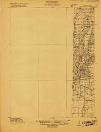
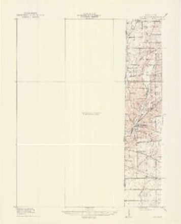
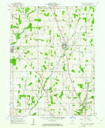
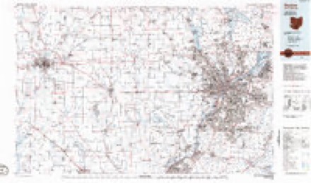
9 topographic sheets cover this place, the earliest surveyed in 1915 and the latest in 1986. It stands in Webster Township. It lies in ZIP code area 47374. It stands on Webster Creek. The Survey maps it on the Fountain City quadrangle.
Topographic sheets covering this place
6 surveys from 9 printed sheetsMatched by testing this settlement's coordinate against the published boundary of every sheet in the United States Geological Survey's historical collection. Each opens the scanned sheet at the Survey.
- 1915 USGS New Paris quadrangle1:48000
- 1918 USGS New Paris quadrangle1:62500
- 1953 USGS Cincinnati quadrangle1:250000, 3 printings
- 1957 USGS Cincinnati quadrangle1:250000
- 1960 USGS Fountain City quadrangle1:24000
- 1986 USGS Dayton quadrangle1:100000, 2 printings


In the county-history sources
11,911 words on this townshipHistory of Wayne County, Indiana : Together with Sketches of Its Cities, Villages and Towns, published 1884 names this settlement in its chapter on Webster Township. These are the passages that mention it, exactly as the scans read.
Webster, the youngest of Wayne County townships, is also the smallest township in the county. It is about fout- and a quarter miles in length and three and a half in width, and has an area of about fifteen square miles. Four townships were reduced in size to form Webster - Centre gave six square miles; Green, three; New Garden, three and three-eighths; and Wayne, two and a half. The township was formed by the county commissioners, Dec. 5, 18Y0, and Webster Village, was designated as the voting place. Chiswell Coggeshall was appointed Township Trustee, and Samuel Roberts, Assessor. The township is drained by Nolan's Fork and its tributaries. Farms and improvements are good, and the citizens thrifty and enterprising. Portions of the surface are quite elevated; all the land is arable and fertile.
Passage source: History of Wayne County, Indiana : Together with Sketches of Its Cities, Villages and Towns, published 1884.
Willis Whitson, one of the very first settlers, located on the farm now owned by his son John Whitson. Rlioda Mendenhall, wife of Nathan Mendenhall, lives on fifty-five acres of land, a part of the farm originallj^ settled by her father, Samuel Bond. Isaac Jessup, from Virginia, settled in this township in 1816. His son Jehu now lives in Webster. Joseph Personett settled in the northwestern corner of the township, on the present Price farm. Daniel Bond, son of Edward, and Aaron Livingston settled in the western part of the township.
Passage source: History of Wayne County, Indiana : Together with Sketches of Its Cities, Villages and Towns, published 1884.
Thomas Culbertson was one of the very first settlers. David Culbertson settled on the creek. Eobert Culbertson and his son Daniel came from Kentucky to this neighborhood in 1815. Henry Hoover settled early where Wm. King now lives. Andrew and David Hampton settled east of Webster. Later, Jehiel Hampton and David Smitson settled near by.
Passage source: History of Wayne County, Indiana : Together with Sketches of Its Cities, Villages and Towns, published 1884.
Machine-read from a century-old scan, so expect the errors a machine makes: misspelled names, dropped words, stray characters.
Read the whole chapter on Webster Township - it names this place 33 more 33 times.
Mines and quarries near this place
3 within 5 milesRegional context, not property-specific evidence. The federal mineral resources record lists 3 workings within 5 miles of Wayne: 3 producers. All of them still produce. What was taken out: Sand and Gravel, Construction. Distance is straight-line from the map coordinates, so a quarry counted here may appear on a neighbouring settlement's page as well.
| Where | Site | Commodity | Status | Recorded |
|---|---|---|---|---|
| A and D Excavation Company | Sand and Gravel, Construction | Producer | ||
| Cain's Lake Pit | Sand and Gravel, Construction | Producer | ||
| Fountain City | Sand and Gravel, Construction | Producer |
Nearest settlements
The eight closest, with where each one stands in the county. Distances are straight-line, computed from the Geographic Names Information System coordinates.
| Map | Place | Distance | Sheets |
|---|---|---|---|
| Webster | 1.5 miles | 9 | |
| Chester | 2.0 miles | 9 | |
| Spring Grove | 3.2 miles | 10 | |
| East Haven | 3.4 miles | 10 | |
| Spring Grove Heights | 3.5 miles | 10 | |
| Richmond | 4.5 miles | 10 | |
| Fountain City | 4.7 miles | 9 | |
| Middleboro | 5.0 miles | 11 |
Provenance
This settlement is recorded in the Geographic Names Information System as feature 445578. The sheet list is computed by point-in-boundary test against the United States Geological Survey's historical topographic inventory. Both are works of the United States government and carry no copyright under 17 U.S.C. 105.
Mines and quarries. USGS Mineral Resources Data System (MRDS) https://mrdata.usgs.gov/mrds/ A work of the United States government, no copyright under 17 U.S.C. 105.