 Block
Chester, Indiana
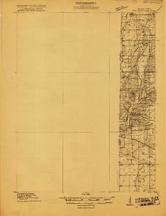
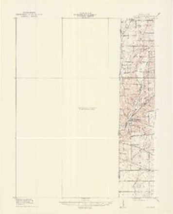
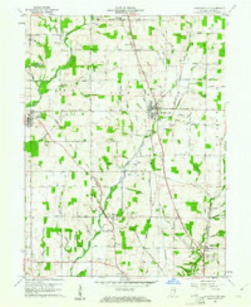
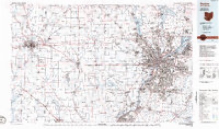
9 topographic sheets cover this place, the earliest surveyed in 1915 and the latest in 1986. It stands in Wayne Township. It lies in ZIP code area 47374. It stands on Bridge Brook. The Survey maps it on the Fountain City quadrangle. It stands 1,047 feet above sea level.
Topographic sheets covering this place
6 surveys from 9 printed sheetsMatched by testing this settlement's coordinate against the published boundary of every sheet in the United States Geological Survey's historical collection. Each opens the scanned sheet at the Survey.
- 1915 USGS New Paris quadrangle1:48000
- 1918 USGS New Paris quadrangle1:62500
- 1953 USGS Cincinnati quadrangle1:250000, 3 printings
- 1957 USGS Cincinnati quadrangle1:250000
- 1960 USGS Fountain City quadrangle1:24000
- 1986 USGS Dayton quadrangle1:100000, 2 printings


In the county-history sources
58,967 words on this townshipHistory of Wayne County, Indiana, from Its First Settlement to the Present Time : with Numerous Biographical and Family Sketches, published 1872 names this settlement in its chapter on Wayne Township. These are the passages that mention it, exactly as the scans read.
Further north, and east of Richmond, Samuel Morris, (not the first owner,) settled on the quarter now owned by H. L. Wetheral and Benj. Lloyd. The farms earlj^ owned by Amos Hawkins, James Alexander, and Stephen Thomas, are now owned by David Sands, who came, when a boy, with his father, from the South, and lived about Whitewater, penniless, without education, and was for a time a common teamster. The old homestead of Robert Hill was many 3'ears ago in the hands of Amos Clawson, where he kept a tavern, sign of " Green Tree," now owned by Andrew F. Scott, of Richmond. Joseph W^iite settled near the Ohio line, where he died in 1868. He owned other lands near, which are owned by his heirs. His widow resides on the homestead.
Passage source: History of Wayne County, Indiana, from Its First Settlement to the Present Time : with Numerous Biographical and Family Sketches, published 1872.
John Hiatt, from N. C. in 1809, settled near the township north line, and died in 1825. His son Riley resides near Chester. Paul Starbuck, a native of Mass., from X. C. in 1811, settled where liis son Paul lives, 1 miles north of Richmond. John and Elias are liis sons. Joshua Pickett, from X. C, 3 miles north from Richmond, near where his son Benjamin now resides. Paul Starbuck, a native of Mass., from IST. C. in 1811, settled in the north ]>art of the township, and died in 1815. His son Paul lives 4 miles north of Richmond.
Passage source: History of Wayne County, Indiana, from Its First Settlement to the Present Time : with Numerous Biographical and Family Sketches, published 1872.
In the north-west part, Jonathan Yotaw, from Ya. in 1817, settled where the Widow Hampton resides. His children : Isaac, who resides 2 miles north-west from Chester, in Xew Garden ; Eunice, wife of Eli Rogers, of Richmond; Eleanor; Jonatljan A'otaw died in 1823, aged about 35 jears. David Hampton, a native of Ya., came to Richmond in 1817; married in Ohio, in 1818, and settled near where his sons now live, near Votaw station. His children are Lewis, Jacob, Jehiei, Emily, AVilliam, Sarah Ann, John D., Mahlon. Davitl Hampton died in 1855, at the age of ijO. Wni. Kendall, lK)rn in X. C. in 1808, married Abigail, daughter of Michael Weesuer, settled one mile north-west of Chester, died 1870. John Jay entered, in the north-west corner of the township, the land on which his grandson J. W. Jay resides.
Passage source: History of Wayne County, Indiana, from Its First Settlement to the Present Time : with Numerous Biographical and Family Sketches, published 1872.
Machine-read from a century-old scan, so expect the errors a machine makes: misspelled names, dropped words, stray characters.
Read the whole chapter on Wayne Township - it names this place 22 more 22 times.
Mines and quarries near this place
8 within 5 milesRegional context, not property-specific evidence. The federal mineral resources record lists 8 workings within 5 miles of Chester: 6 producers, 2 past producers. 6 still produce. What was taken out: Sand and Gravel, Construction, Stone, Crushed/Broken. Distance is straight-line from the map coordinates, so a quarry counted here may appear on a neighbouring settlement's page as well.
| Where | Site | Commodity | Status | Recorded |
|---|---|---|---|---|
| Middleboro Stone Quarry | Stone, Crushed/Broken | Producer | ||
| Springfield Limestone Quarry #223 | Stone, Crushed/Broken | Producer | ||
| A and D Excavation Company | Sand and Gravel, Construction | Producer | ||
| Cain's Lake Pit | Sand and Gravel, Construction | Producer | ||
| Fountain City | Sand and Gravel, Construction | Producer | ||
| Middleboro Pit and Mill | Sand and Gravel, Construction | Producer | ||
| New Paris Pit | Sand and Gravel, Construction | Past Producer | ||
| Richmond - #418 | Sand and Gravel, Construction | Past Producer |
Storms near this place
3 since 1996Regional context, not property-specific evidence. The National Weather Service names Chester in 3 storm reports between 1996 and 2019: 2 thunderstorm wind, 1 flash flood. No death or injury is recorded in these reports. Each account below is quoted exactly as the forecast office filed it, from the NOAA Storm Events Database, and each date opens the federal record of that event.
| When | Event | Place named | Harm | What the report says |
|---|---|---|---|---|
| July 1996 | Thunderstorm Wind | Chester | $3,000 | no account filed |
| June 2014 | Thunderstorm Wind | Chester | $1,000 | A tree was downed near Highway 27 and Martin Road and a large limb was downed on South 11th Street due to thunderstorm winds. |
| February 2019 | Flash Flood | Chester | - | Water was reported rushing over the 4000 block of U.S. 27. |
Nearest settlements
The eight closest, with where each one stands in the county. Distances are straight-line, computed from the Geographic Names Information System coordinates.
| Map | Place | Distance | Sheets |
|---|---|---|---|
| Wayne | 2.0 miles | 9 | |
| Spring Grove | 2.8 miles | 10 | |
| Middleboro | 3.0 miles | 11 | |
| Spring Grove Heights | 3.1 miles | 10 | |
| Webster | 3.2 miles | 9 | |
| East Haven | 4.1 miles | 10 | |
| Richmond | 4.1 miles | 10 | |
| Fountain City | 4.9 miles | 9 |
Elsewhere
Matched on this settlement's Geographic Names Information System number rather than its name, so it cannot be a different place of the same name in another state.
| Wikipedia article on Chester | An encyclopaedic summary. Its text is share-alike, so it is linked here rather than copied. |
| Wikidata item Q24893918 | The structured record the population and elevation above come from. Public domain (CC0). |
Provenance
This settlement is recorded in the Geographic Names Information System as feature 432449. The sheet list is computed by point-in-boundary test against the United States Geological Survey's historical topographic inventory. Both are works of the United States government and carry no copyright under 17 U.S.C. 105.
Mines and quarries. USGS Mineral Resources Data System (MRDS) https://mrdata.usgs.gov/mrds/ A work of the United States government, no copyright under 17 U.S.C. 105.
Storms. NOAA National Centers for Environmental Information, Storm Events Database https://www.ncei.noaa.gov/stormevents/ A work of the United States government, no copyright under 17 U.S.C. 105. Narratives are quoted verbatim from the National Weather Service report and are not edited or summarised.