 Block
Williamsburg, Indiana
9 topographic sheets cover this place, the earliest surveyed in 1915 and the latest in 1986. It stands in Green Township. It lies in ZIP code area 47393. It stands on Morgan Creek. The Survey maps it on the Fountain City quadrangle. It stands 1,066 feet above sea level.
Topographic sheets covering this place
6 surveys from 9 printed sheetsMatched by testing this settlement's coordinate against the published boundary of every sheet in the United States Geological Survey's historical collection. Each opens the scanned sheet at the Survey.
- 1915 USGS New Paris quadrangle1:48000
- 1918 USGS New Paris quadrangle1:62500
- 1953 USGS Cincinnati quadrangle1:250000, 3 printings
- 1957 USGS Cincinnati quadrangle1:250000
- 1960 USGS Fountain City quadrangle1:24000
- 1986 USGS Dayton quadrangle1:100000, 2 printings
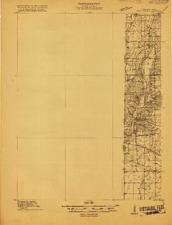
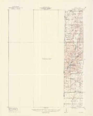


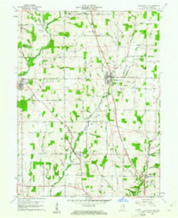
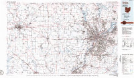
In the county-history sources
20,364 words on this townshipHistory of Wayne County, Indiana, from Its First Settlement to the Present Time : with Numerous Biographical and Family Sketches, published 1872 names this settlement in its chapter on Green Township. These are the passages that mention it, exactly as the scans read.
In 1814, Benj. Hutchins, from IST. C, settled where now Wm. McLucas lives, IJ miles north from town ; and Thomas, on land now owned by Job Coggeshall, a mile north from town. Benj. Hutchins afterward removed to the farm where he now resides, near the United Brethren meeting-house. John Hutchins settled a mile north-west from town, where James M. Cranor resides. Henry Study, a native of Maryland, in 1818, a mile west of town, where his son John resides. Mr. Study is said to have had the first iron mold-board plow in Wayne county.
Passage source: History of Wayne County, Indiana, from Its First Settlement to the Present Time : with Numerous Biographical and Family Sketches, published 1872.
In the south-east i)art of the township, Joseph Comer, where now Joseph Comer, his son, resides ; Joseph Palmer, where Daniel Palmer resides; Henry Gower, and James Irwin; first settler on their lands not ascertained ; Thomas Teagle, where now a son resides. Joseph Evans, from JST. J., entered several quarter sections, now and lately owned in part by Mark Evans, Joseph Lewis, Abner Clawson, and John Bean. John Catey, from '^. J., also several quarter sections, portions of which, east of the turnpike, he still owns. Joseph Personett, from Mc\, settled on land now owned by Benj. P. Beverlin. Wm. Beverlin, from Va., settled as early, probably, as 1812, on land now owned by his son Thomas, and John Catey, where the latter now resides. Jesse Bacon, from N. J., on land formerly owned by Benj. Harris. Henry Catey, from J^. J., where Samuel Catey resides, IJ ndles south-east from town. Thomas Bond, south line of township, land now owned by his heirs.
Passage source: History of Wayne County, Indiana, from Its First Settlement to the Present Time : with Numerous Biographical and Family Sketches, published 1872.
In the north-east j^art, Daniel Charles, about 1816, settled where he still lives ; land now owned by Henry Charles and Hannah Blair. Wm. Trotter and Hugh L, Macy settled where they still live. Isaiah Case, on lands "now owned by S. Mitchell Boyd and "Wyatt Green. Paul Way, from N. C, where now Joseph Way lives. Jeremiah Thorp, from Tenn., where he now lives. Eleazer Smith, from ]!!^. C, where now his son, Wm. D. Smith resides. Valentine Pegg, from K. C, where he still resides. John Pegg, from IT. C, on land now owned by his son John. William Clemens, where he now resides, not an early settler.
Passage source: History of Wayne County, Indiana, from Its First Settlement to the Present Time : with Numerous Biographical and Family Sketches, published 1872.
Machine-read from a century-old scan, so expect the errors a machine makes: misspelled names, dropped words, stray characters.
Read the whole chapter on Green Township - it names this place 28 more 28 times.
Mines and quarries near this place
2 within 5 milesRegional context, not property-specific evidence. The federal mineral resources record lists 2 workings within 5 miles of Williamsburg: 2 producers. All of them still produce. What was taken out: Sand and Gravel, Construction. Distance is straight-line from the map coordinates, so a quarry counted here may appear on a neighbouring settlement's page as well.
| Where | Site | Commodity | Status | Recorded |
|---|---|---|---|---|
| Fountain City | Sand and Gravel, Construction | Producer | ||
| Hutchens Gravel Company | Sand and Gravel, Construction | Producer |
Storms near this place
5 since 1997Regional context, not property-specific evidence. The National Weather Service names Williamsburg in 5 storm reports between 1997 and 2025: 2 flash flood, 2 thunderstorm wind, 1 flood. No death or injury is recorded in these reports. Each account below is quoted exactly as the forecast office filed it, from the NOAA Storm Events Database, and each date opens the federal record of that event.
| When | Event | Place named | Harm | What the report says |
|---|---|---|---|---|
| May 1997 | Flash Flood | Williamsburg | $10,000 | Persistent heavy rainfall caused Greens Fork Creek to rise out of its banks and across several roads. |
| June 2006 | Thunderstorm Wind | Williamsburg | $2,000 | Trees were knocked down along Centerville Road. |
| June 2009 | Thunderstorm Wind | Williamsburg | $1,000 | Two trees were blown down. |
| April 2025 | Flood | Williamsburg | - | High water was reported over the roadway at the intersection of Morgan Creek Road and Center Road. |
| July 2017 | Flash Flood | Williamsburg | - | High water was reported across several roads between Greens Fork and Fountain City. |
Nearest settlements
The eight closest, with where each one stands in the county. Distances are straight-line, computed from the Geographic Names Information System coordinates.
| Map | Place | Distance | Sheets |
|---|---|---|---|
| Fountain City | 4.2 miles | 9 | |
| Webster | 4.3 miles | 9 | |
| Greens Fork | 4.7 miles | 8 | |
| Economy | 5.2 miles | 8 | |
| Wayne | 5.7 miles | 9 | |
| Hoover Mill | 7.0 miles | 9 | |
| Chester | 7.2 miles | 9 | |
| West Grove | 7.3 miles | 9 |
Elsewhere
Matched on this settlement's Geographic Names Information System number rather than its name, so it cannot be a different place of the same name in another state.
| Wikipedia article on Williamsburg | An encyclopaedic summary. Its text is share-alike, so it is linked here rather than copied. |
| Wikidata item Q8021144 | The structured record the population and elevation above come from. Public domain (CC0). |
Provenance
This settlement is recorded in the Geographic Names Information System as feature 449748. The sheet list is computed by point-in-boundary test against the United States Geological Survey's historical topographic inventory. Both are works of the United States government and carry no copyright under 17 U.S.C. 105.
Mines and quarries. USGS Mineral Resources Data System (MRDS) https://mrdata.usgs.gov/mrds/ A work of the United States government, no copyright under 17 U.S.C. 105.
Storms. NOAA National Centers for Environmental Information, Storm Events Database https://www.ncei.noaa.gov/stormevents/ A work of the United States government, no copyright under 17 U.S.C. 105. Narratives are quoted verbatim from the National Weather Service report and are not edited or summarised.