 Block
Louisville, Kentucky
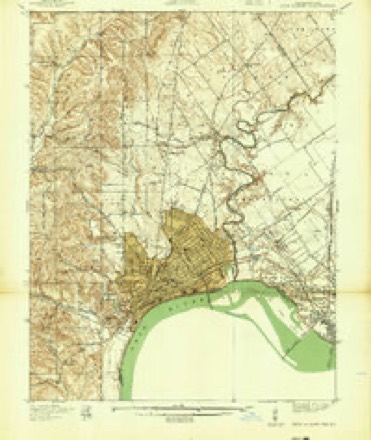
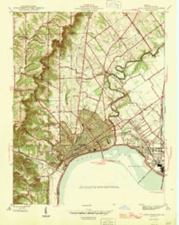
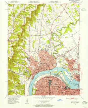
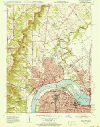
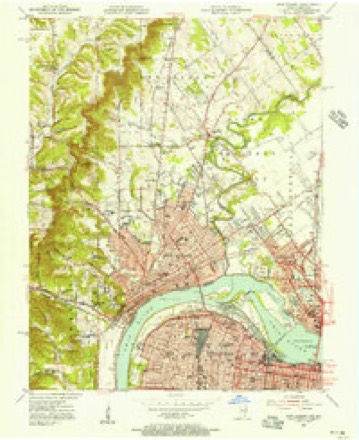
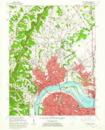
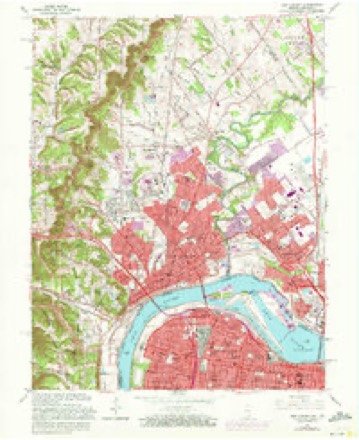
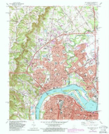
19 topographic sheets cover this place, the earliest surveyed in 1939 and the latest in 1992. It stands in the Louisville Central census division. It lies in ZIP code area 40202. The Survey maps it on the New Albany quadrangle. It stands 466 feet above sea level.
Research this city
On record in Louisville
Buildings and businesses the archive holds for this place. Each opens its own page, with the source record it came from.
On the National Register 12 of 396 shown
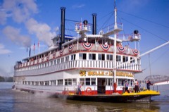 BELLE OF LOUISVILLE (steamer)National Historic Landmark · listed 1972
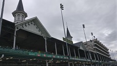 Churchill DownsNational Historic Landmark · listed 1978
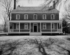 Locust GroveNational Historic Landmark · listed 1971
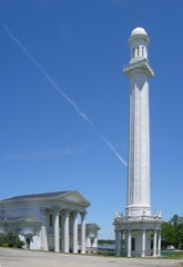 Louisville Water Company Pumping StationNational Historic Landmark · listed 1971
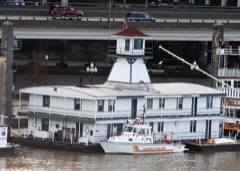 MAYOR ANDREW BROADDUSNational Historic Landmark · listed 1989
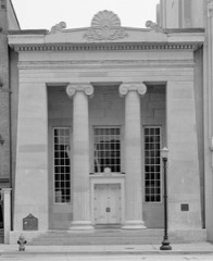 Southern National BankNational Historic Landmark · listed 1971
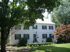 Zachary Taylor HouseNational Historic Landmark · listed 1966
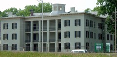 United States Marine Hospital of LouisvilleNational Historic Landmark · listed 1997
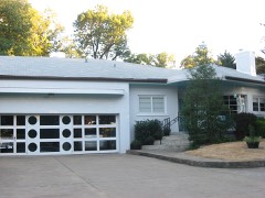 Leslie V. Abbott Houselisted 2013
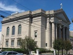 Adath Israel Templelisted 1974
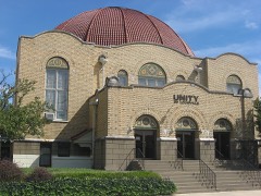 Adath Jeshurun Temple and Schoollisted 1982
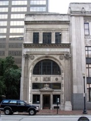 Almsted Brothers Buildinglisted 1982
Every listing in Jefferson County
Surveyed buildings and structures 12 of 135 shown
- 1809 West Madison Street (House), Louisvillefederal building survey, 5 photographs
- 1811 West Madison Street (House), Louisvillefederal building survey, 5 photographs
- 1812 West Muhammad Ali Boulevard (House), Louisvillefederal building survey, 5 photographs
- 1814 West Muhammad Ali Boulevard (House), Louisvillefederal building survey, 4 photographs
- 1815 Magazine Street (House), Louisvillefederal building survey, 4 photographs
- 1815 Magazine Street (Rear Cottage), Louisvillefederal building survey, 2 photographs
- 1816 West Muhammad Ali Boulevard (House), Louisvillefederal building survey, 4 photographs
- 1817 West Madison Street (House), Louisvillefederal building survey, 6 photographs
- 1817-1819 Magazine Street (Duplex), Louisvillefederal building survey, 4 photographs
- 1822 Magazine Street (House), Louisvillefederal building survey, 4 photographs
- 1826 West Chestnut Street (House), Louisvillefederal building survey, 5 photographs
- 1830 West Muhammad Ali Boulevard (House), Louisvillefederal building survey, 4 photographs
Topographic sheets covering this place
12 surveys from 19 printed sheetsMatched by testing this settlement's coordinate against the published boundary of every sheet in the United States Geological Survey's historical collection. Each opens the scanned sheet at the Survey.
- 1939 USGS New Albany quadrangle1:24000
- 1946 USGS New Albany quadrangle1:24000, 2 printings
- 1950 USGS New Albany quadrangle1:24000
- 1951 USGS New Albany quadrangle1:24000, 2 printings
- 1955 USGS New Albany quadrangle1:24000
- 1956 USGS Louisville quadrangle1:250000, 2 printings
- 1960 USGS New Albany quadrangle1:24000
- 1964 USGS Louisville quadrangle1:250000
- 1965 USGS New Albany quadrangle1:24000, 2 printings
- 1982 USGS New Albany quadrangle1:24000, 2 printings
- 1986 USGS Louisville quadrangle1:100000, 2 printings
- 1992 USGS New Albany quadrangle1:24000, 2 printings


Photographs
8 of 39 photographs shown, 1940 to 2020Taken for the Office of War Information and the Farm Security Administration, who photographed the country between 1935 and 1944. Works of United States government photographers, with no known restriction on use. Each opens its catalogue record.
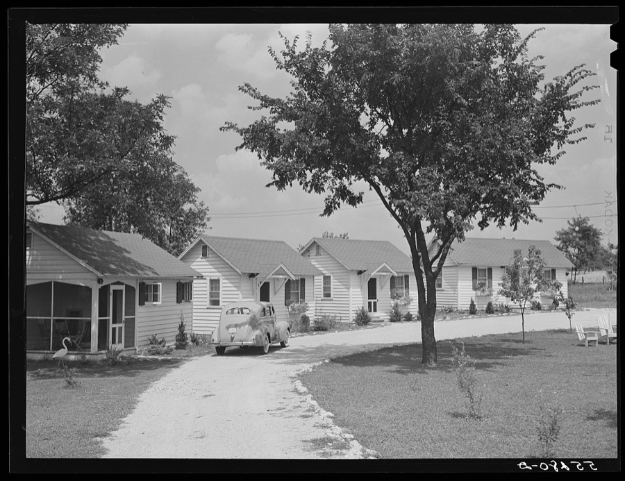
Wolcott, Marion Post, 1940. Library of Congress
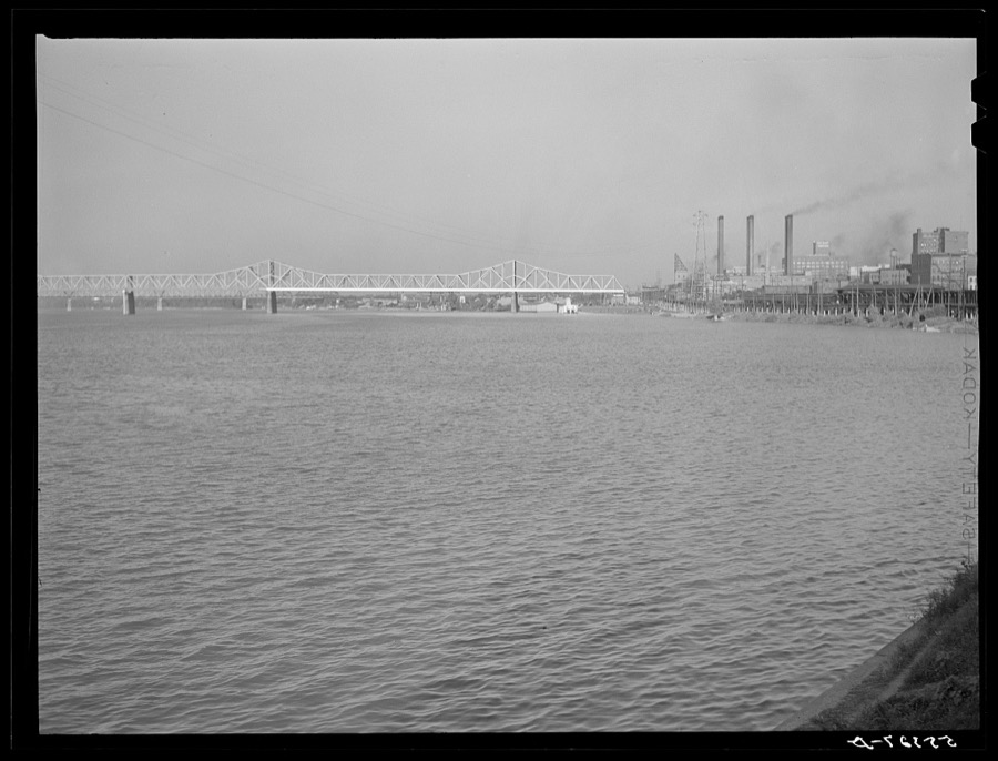
Wolcott, Marion Post, 1940. Library of Congress
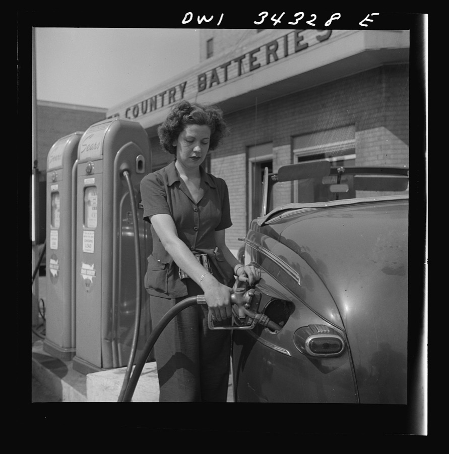
Hollem, Howard R., photographer, 1943. Library of Congress
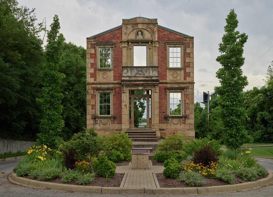
Highsmith, Carol M, 2020. Library of Congress
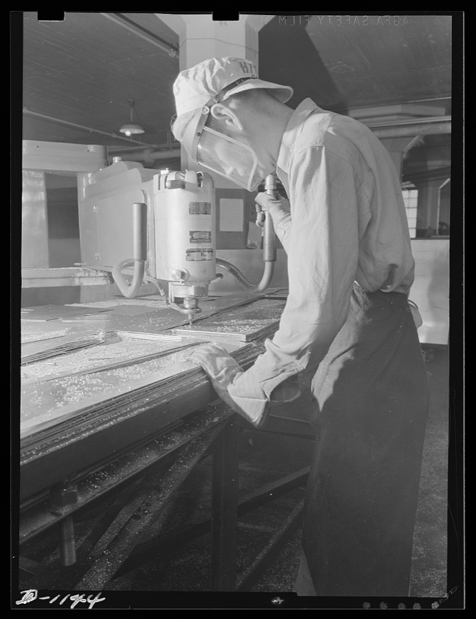
Highton, photographer, 1941. Library of Congress
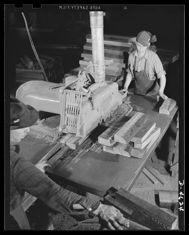
Palmer, Alfred T., photographer, 1942. Library of Congress
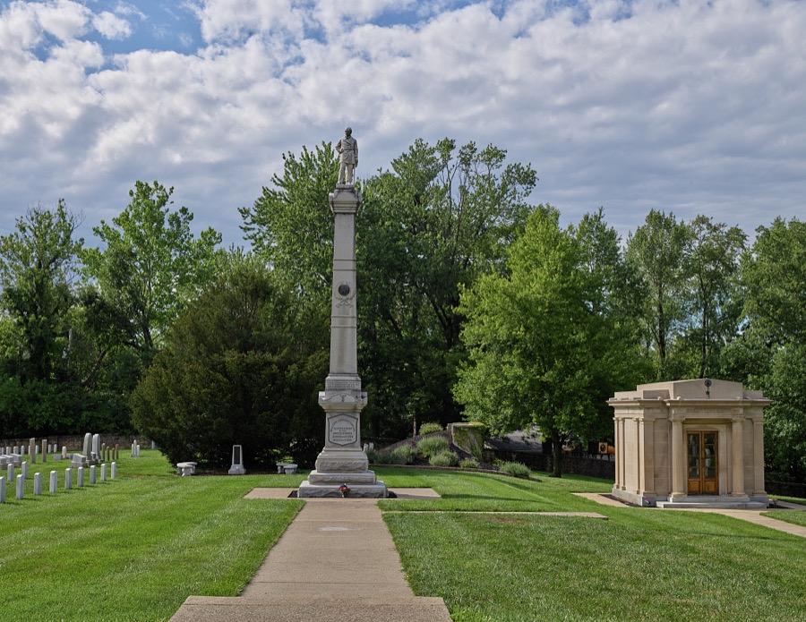
Highsmith, Carol M, 2020. Library of Congress
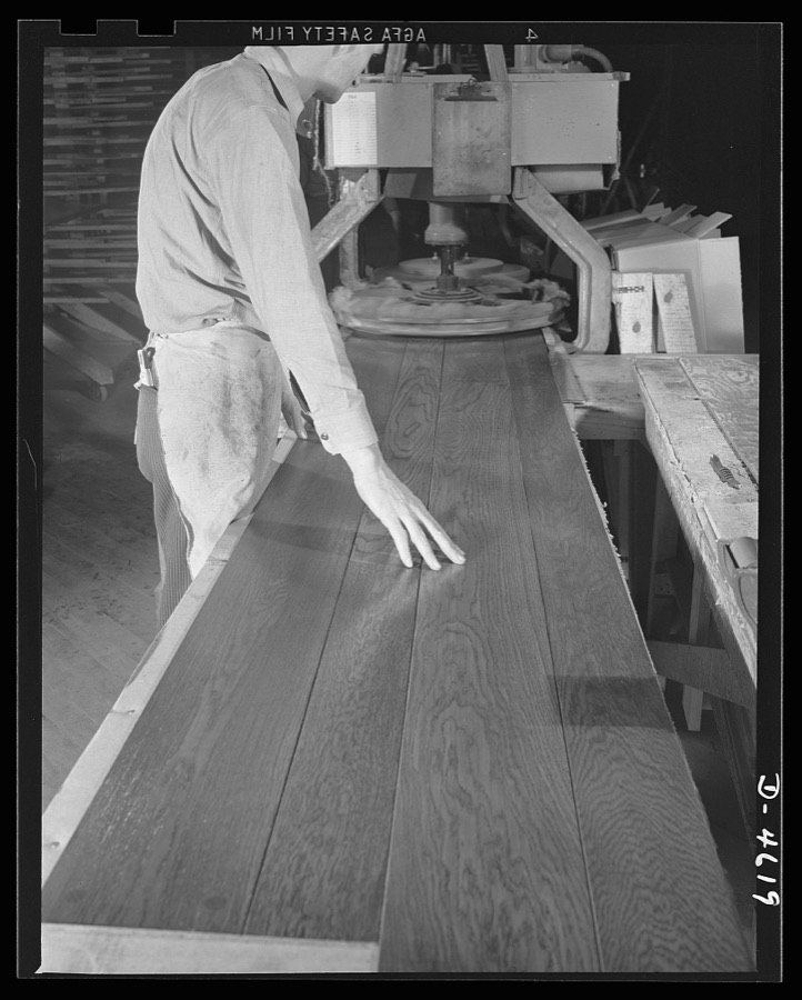
Palmer, Alfred T., photographer, 1942. Library of Congress
Every photograph of Jefferson County
Mines and quarries near this place
10 within 5 milesRegional context, not property-specific evidence. The federal mineral resources record lists 10 workings within 5 miles of Louisville: 5 past producers, 3 producers, 1 plant, 1 unknown. 4 still produce. What was taken out: Sand and Gravel, Construction, Stone, Crushed/Broken, Salt, Lead. Distance is straight-line from the map coordinates, so a quarry counted here may appear on a neighbouring settlement's page as well.
| Where | Site | Commodity | Status | Recorded |
|---|---|---|---|---|
| Cargill Salt/ Clarksville, Ind. | Salt | Plant | ||
| Globe Union/ Louisville, Ky. | Lead | Unknown | ||
| Pilot Co. Pit | Magnesite | Past Producer | ||
| Atkins Plant & Quarry | Stone, Crushed/Broken | Producer | ||
| Louisville Crushed Stone Mine | Stone, Crushed/Broken | Past Producer | ||
| Louisville Sand&Gravel Inc | Stone, Crushed/Broken | Past Producer | ||
| Alert Dredge | Sand and Gravel, Construction | Producer | ||
| First Street Yard | Sand and Gravel, Construction | Producer | ||
| Martha E. Green Dredge | Sand and Gravel, Construction | Past Producer | ||
| Nugent Plant | Sand and Gravel, Construction | Past Producer |
Storms near this place
60 of 156 shownRegional context, not property-specific evidence. The National Weather Service names Louisville in 156 storm reports between 1993 and 2026: 71 thunderstorm wind, 40 flash flood, 23 hail, 13 flood. The reports record 2 deaths. Each account below is quoted exactly as the forecast office filed it, from the NOAA Storm Events Database, and each date opens the federal record of that event.
| When | Event | Place named | Harm | What the report says |
|---|---|---|---|---|
| April 2000 | Thunderstorm Wind | Louisville | 1 killed, $15,000 | An elderly woman was killed when a tree was blown on to a mobile home at the Pioneer Mobile Home Park. |
| September 2018 | Flash Flood | Louisville | 1 killed, $10,000 | A Yellow Cab taxi driver tried to drive through standing water underneath a railroad overpass at 13th Street and Oak Street. When the vehicle he was driving stalled, the driver made several calls to 911, but provided an incorrect location for rescuers. He drowned due to the quickly rising flood waters in that low spot. |
| May 1996 | Hail | Louisville | $20,000,000 | no account filed |
| January 2008 | Tornado (EF1) | Louisville | $3,000,000 | A fast moving EF-1 tornado briefly touched down four times in the Louisville Metro area as a squall line crossed the city. The tornado was on the ground for approximately 1.5 miles over the course of it's 16 mile long track. The first touchdown was in and industrial area just off Millers Lane west of the Dixie Highway. The tornado stayed on the ground for one mile before lifting, heavily damaging a church on Dixie Highway, as well as uprooting and snapping several trees and damaging numerous homes. The tornado then dipped to earth again on the west side of the University of Louisville campus, breaking out many windows in a large residence hall and nearby building, and damaging several vehicles parked nearby. The next touchdown happened in Saint Matthews near the intersection of Shelbyville Road and Interstate 264, where extensive damage was suffered by many businesses and private properties. The fourth and final touchdown was in Anchorage where many trees were damaged, blown over, and uprooted, roofs were damaged, and a large outbuilding at a training school was destroyed. Widespread downburst wind damage occurred mainly to the south of the tornado's path as the squall line moved across the city. |
| June 2011 | Tornado (EF2) | Louisville | $400,000 | This tornado touched down just southwest of an area of horse barns on the south side of Churchill Downs. Five barns, which also contained apartments for many workers, had major sections of their roofs removed, with minor damage to several others. In the buildings most heavily damaged, parts of supporting walls made from cinder blocks collapsed. Christ Church, located on the Churchill Downs property, also had roof and siding damage. After snapping trees and downing power lines for several blocks to the east of Churchill, the tornado crossed a large stadium parking lot, strengthening to low-end EF-2 intensity near the intersection of Floyd Street and Central Avenue. At this location, just 300 yards southeast of the University of Louisville's football stadium, a large industrial building was heavily damaged, with a collapsed 2-story cinder block wall and a 150-foot section of roof removed from the warehouse. A 30' x 80' section of roof over an adjacent office building was also torn off. The tornado downed several more trees and did minor roof damage to a Super 8 Motel and other office buildings before lifting north of the intersection of Crittenden Drive and Central Avenue near an entrance ramp onto Interstate 65. ||Despite the most heavily damaged Churchill Downs buildings being occupied by numerous racing horses and at least three workers at the time of the tornado, no injuries were sustained by either the animals or their handlers. One man was in an upstairs room when the roof above him was ripped off, while two others were in in a ground-floor apartment where cinder blocks fell from an exterior wall. |
| February 2018 | Flash Flood | Louisville | $200,000 | Public reported flash flooding in the Louisville metro. Several roads experienced erosion, sinkholes, and broken pavement. |
| October 2002 | Tornado (F1) | Louisville | $150,000 | A riverboat captain spotted a waterspout on the Ohio River near Louisville. It moved inland over eastern Jefferson County, touching down intermittently. It knocked down trees and blew the roofs off several homes in the Springhurst area in northeast Jefferson County. The back side of the clubhouse at the Indian Springs Country Club was blown out. Thunderstorm winds downed trees over parts of eastern Jefferson County near the path of the tornado. |
| June 2018 | Thunderstorm Wind | Louisville | $100,000 | Power was out in many parts of Louisville due to trees taking power lines down. |
| October 2013 | Flash Flood | Louisville | $100,000 | Numerous reports of flash flooding developed across metropolitan Louisville. Several people were rescued from their vehicles in Okolona, Douglass Hills, Edgewood, and Jeffersontown. Flowing water reached the tire tops of several automobiless along Ormsby Lane. |
| April 2005 | Tornado (F0) | Louisville | $100,000 | The tornado first touched down near the intersection of Campbell and Market Streets, where the roof on a business was destroyed, and a telephone pole was snapped. An empty trailer was flipped over near this location. The Stockyard Farm Supply Company on South Johnson Street sustained roof damage. |
| May 2016 | Thunderstorm Wind | Louisville | $75,000 | A very localized microburst occurred in downtown Louisville. Thunderstorm winds were estimated to be between 70 and 75 mph, which caused part of the roofing of the Louisville Gardens to be peeled off and thrown to the east. Parts of this roofing material landed on an unoccupied vehicle. |
| July 2001 | Thunderstorm Wind | Louisville | $75,000 | A section of steel roof was peeled off a hangar at the Louisville International Airport. |
| July 2011 | Thunderstorm Wind | Louisville | $50,000 | Numerous trees and power lines were downed across the western portions of downtown Louisville. One tree fell on a car. Two other trees damaged houses. |
| May 2004 | Thunderstorm Wind | Louisville | $50,000 | At 34th and Rudd Streets, there was some shingle and chimney damage to houses. There was also extensive damage to trees and power lines. |
| May 2014 | Flash Flood | Louisville | $40,000 | Just east of downtown Louisville, the intersection of Broadway and Campbell streets was completely flooded, briefly closing the intersection. Nearby, a low lying intersection near the University of Louisville filled with several feet of water, inundating several vehicles. |
| May 2011 | Thunderstorm Wind | Louisville | $40,000 | Widespread damage developed over the Louisville metropolitan area as a result of a severe squall line. Dozens of trees were downed across the urban area, especially in Prospect and along River Road east of downtown. Winds up to 70 mph were estimated by a trained spotter in the Middletown subdivision. |
| September 2018 | Flash Flood | Louisville | $30,000 | The media reported several vehicles under water at Dixie Highway and Algonquin Parkway. |
| July 2001 | Flash Flood | Louisville | $30,000 | Many viaducts in Louisville were flooded, trapping vehicles. The basement of the Louisville Library was flooded. |
| August 2003 | Thunderstorm Wind | Louisville | $25,000 | Thunderstorm winds caused a partial roof collapse in western Louisville. |
| May 2012 | Flash Flood | Louisville | $20,000 | The University of Louisville Emergency Manager reported that several buildings on campus sustained minor damage from water entering the lowest floor levels of the buildings. |
| June 2008 | Thunderstorm Wind | Louisville | $15,000 | Tree fell on house along Hazelwood. |
| October 2001 | Thunderstorm Wind | Louisville | $15,000 | no account filed |
| September 2018 | Flash Flood | Louisville | $10,000 | A driver and two children were stuck in a vehicle on 15th Street and Breckinridge Street. |
| April 2007 | Thunderstorm Wind | Louisville | $10,000 | A tree was blown on to a house. |
| May 2004 | Lightning | Louisville | $10,000 | A tree was struck by lightning an fell on a car, destroying it. |
| June 1998 | Thunderstorm Wind | Louisville | $10,000 | no account filed |
| May 1996 | Lightning | Louisville | $10,000 | no account filed |
| September 2011 | Flash Flood | Louisville | $6,000 | Local news media reported two high water rescues. They occurred at the intersections of 7th and Hill Streets, and near the intersection of Dumensil Street and Interstate Highway 264. |
| August 2021 | Lightning | Louisville | $5,000 | There was a commercial building on fire after a lightning strike. The cost of damage is unknown. |
| September 2018 | Flash Flood | Louisville | $5,000 | A person was trapped in a vehicle on Dixie Highway and Oak Street. A water rescue took place. |
| September 2018 | Flash Flood | Louisville | $5,000 | A person was trapped in a vehicle at 17th Street and Dumesnil Street. |
| May 2012 | Flash Flood | Louisville | $5,000 | The Louisville Fire Department conducted a water rescue at the Hill Street underpass at 7th Street. |
| May 2012 | Flash Flood | Louisville | $5,000 | The local Fire Department conducted a water rescue at the intersection of 9th and Magnolia. |
| September 2011 | Flash Flood | Louisville | $3,000 | Local news reported a water rescue at the intersection of 15th Street and Breckinridge. |
| May 1996 | Lightning | Louisville | $2,000 | no account filed |
| September 2018 | Flash Flood | Louisville | $1,000 | There was a water rescue reported in West Louisville. |
| August 2018 | Thunderstorm Wind | Louisville | $500 | Trees were reported down in the 1600 block of Loney Lane. |
| April 2026 | Flash Flood | Louisville | - | Flash flooding was reported in the Portland area between Dr. WJ Hodge Street and Portland Avenue. |
| April 2025 | Flash Flood | Louisville | - | There was a water rescue at an unknown location. Three children were in the car. |
| May 2025 | Thunderstorm Wind | Louisville | - | Power lines were downed by strong winds at the intersection of St Catherine Street and South First Street. |
| May 2025 | Thunderstorm Wind | Louisville | - | A tree was downed by strong winds across Lampton Street. |
| May 2025 | Thunderstorm Wind | Louisville | - | A tree was blown over onto two vehicles at the intersection of South Brook Street and East Burnett Avenue in Louisville. |
| June 2025 | Thunderstorm Wind | Louisville | - | Power lines were downed near the University of Louisville. |
| October 2025 | Flash Flood | Louisville | - | There was a water rescue at West Magnolia Avenue and South 7th Street. |
| October 2025 | Flash Flood | Louisville | - | There was a water rescue at South 9th Street and West Oak Street. |
| October 2025 | Flash Flood | Louisville | - | There was an SUV stuck in water with one person the vehicle. |
| December 2025 | Thunderstorm Wind | Louisville | - | Multiple trees were blown down on the west side of Louisville. |
| July 2024 | Tornado (EF1) | Louisville | - | A National Weather Service storm survey determined an EF1 tornado briefly touched down in West Louisville during the early afternoon hours on July 4th. The tornado initially caused a broad swath of damage, with the damage path becoming more narrow before lifting. ||The damage began to a Baptist Fellowship Center just north of |Woodland Avenue along Catalpa Street. The nearby church sustained shingle |damage, but also had some window damage on the more protected |north facing side of the building. South of Woodland Avenue, a |witness saw twisting motion, and there a black walnut tree branch |fell to the west onto a neighbor's house and a tree from that home |fell onto his truck. As the tornado tightened up, several tree|branches fell onto vehicles and structures. A few bigger trees|were uprooted as well, including one that pulled down some power|poles as it fell. In another place, the tornado pulled back part|of a roof on a two-story residence. Farther east, the vinyl|siding was stripped off a north-facing wall of another two-story|residence. ||As the tornado continued east and east southeast, crossing Wilson Avenue, it narrowed quite a bit, causing more isolated tree damage before it lifted just east of 23rd Street and north of Standard Avenue. |
| March 2023 | Thunderstorm Wind | Louisville | - | A large tree fell on a car that was parked on Saint James Court. |
| June 2023 | Hail | Louisville | - | A video recorded quarter sized hail falling in Louisville. |
| June 2023 | Hail | Louisville | - | Quarter sized hail was observed near the University of Louisville. |
| July 2023 | Thunderstorm Wind | Louisville | - | Several trees were brought down by strong winds near Central Park in Old Louisville, resulting in damage to a few vehicles. |
| August 2023 | Thunderstorm Wind | Louisville | - | Tree and power line damage caused damage to siding on a home on Breckinridge Street. |
| May 2022 | Thunderstorm Wind | Louisville | - | A tree fell on a house near the intersection of 28th Street and Kentucky Street in Louisville. |
| July 2022 | Thunderstorm Wind | Louisville | - | There were multiple reports of trees and power lines down around downtown Louisville including 18th and Market Street. |
| July 2022 | Thunderstorm Wind | Louisville | - | Trees and power lines were down on the 600 block of East Kentucky Street. |
| July 2021 | Flash Flood | Louisville | - | East Brandeis Avenue was closed at the train overpass due to flooding. |
| July 2021 | Flash Flood | Louisville | - | Flooding caused South 4th Street and South 3rd Street to close at the train overpasses. |
| August 2021 | Flash Flood | Louisville | - | Two cars were stranded in flood waters. Cost of damage is unknown. |
| August 2021 | Thunderstorm Wind | Louisville | - | There were 15 power lines down in Louisville. The first one came down around 7:52 PM. |
Newspapers printed here
39,529 digitised pages15 papers published in this town, digitised by the Library of Congress and free to read: 5,986 issues, 39,529 pages. Every page is searchable, so a name or a street can be looked for directly in what the town printed about itself at the time.
| Newspaper | Published |
|---|---|
| Ohio Valley Worker : Official Paper of the Federated Trades Council of Louisville, Trades and Labor Council of New Albany, Central Labor Union of Jeffersonville | 1904 to ???? |
| The Examiner | 1847 to 1849 |
| The Bulletin | 18?? |
| Kentucky Irish American | 1898 to 1968 |
| The Ohio Falls Express | 1878 to 19?? |
| American Baptist | 1879 to 19?? |
| Weekly Courier-Journal | 1874 to 1917 |
| The Courier-Journal | 1869 to Current |
| The Louisville Daily Courier | 1851 to 186? |
| The Louisville Daily Journal | 1833 to 1868 |
| Louisville Weekly Journal | 1840 to 1868 |
| Louisville Anzeiger | 184? to 1938 |
| Louisville Weekly Courier | 1846 to 1868 |
| The Twice-A-Week Courier-Journal | 1897 to 19?? |
| Omnibus | 1867 to 19?? |
What the paper printed
217,192 wordsFront pages of the local paper, read from the Library of Congress scans: 41 issues spread across its run from 1836 to 1908, 217,192 words in total. Each is reproduced on its own page, exactly as the recogniser returned it.
These pages read less well than anything else here, and the number is worth stating: about three words in four come through cleanly, against nine in ten for the building records. An 1896 broadsheet sets eight-point type in seven columns on microfilm, which is the hardest thing in this archive to read by machine. We tested our own recognisers against the Library's and they were not better, so the Library's text is what appears, with the wholly unreadable columns removed. Read it as a guide to what the paper covered, and follow the link to the scan before quoting anything.
| Issue | Paper | Length |
|---|---|---|
| 1904-09-10 | Ohio Valley Worker : Official Paper of the Federated Trades Council of Louisville, Trades and Labor Council of New Albany, Central Labor Union of Jeffersonville | 3,958 words |
| 1847-06-19 | The Examiner | 6,695 words |
| 1847-07-31 | The Examiner | 9,679 words |
| 1847-09-11 | The Examiner | 7,756 words |
| 1847-10-30 | The Examiner | 7,920 words |
| 1847-12-11 | The Examiner | 635 words |
| 1855-01-30 | The Louisville Daily Courier | 4,416 words |
| 1855-01-31 | The Louisville Daily Courier | 5,281 words |
| 1861-06-18 | The Louisville Daily Courier | 12,589 words |
| 1861-08-14 | The Louisville Daily Courier | 3,596 words |
| 1861-08-16 | The Louisville Daily Courier | 6,219 words |
| 1866-11-01 | The Louisville Daily Courier | 14,057 words |
| 1881-09-24 | The Bulletin | 4,318 words |
| 1893-05-28 | The Courier-Journal | 4,553 words |
| 1893-06-04 | The Courier-Journal | 8,979 words |
| 1904-09-10 | The Courier-Journal | 6,754 words |
| 1908-04-29 | The Courier-Journal | 8,454 words |
| 1891-07-11 | The Ohio Falls Express | 3,091 words |
| 1836-06-20 | The Louisville Daily Journal | 1,753 words |
| 1836-07-29 | The Louisville Daily Journal | 3,685 words |
| 1836-09-02 | The Louisville Daily Journal | 328 words |
| 1836-10-08 | The Louisville Daily Journal | 160 words |
| 1836-11-28 | The Louisville Daily Journal | 956 words |
| 1859-04-20 | Louisville Weekly Courier | 4,124 words |
| 1859-05-18 | Louisville Weekly Courier | 8,676 words |
| 1859-06-01 | Louisville Weekly Courier | 11,766 words |
| 1865-12-27 | Louisville Weekly Courier | 9,050 words |
| 1872-06-05 | Weekly Courier-Journal | 1,390 words |
| 1872-08-21 | Weekly Courier-Journal | 1,621 words |
| 1872-11-06 | Weekly Courier-Journal | 2,602 words |
| 1908-01-08 | Weekly Courier-Journal | 73 words |
| 1897-05-29 | The Twice-A-Week Courier-Journal | 6,204 words |
| 1897-08-07 | The Twice-A-Week Courier-Journal | 7,546 words |
| 1897-10-20 | The Twice-A-Week Courier-Journal | 4,064 words |
| 1898-09-17 | Kentucky Irish American | 6,261 words |
| 1898-10-22 | Kentucky Irish American | 6,264 words |
| 1898-12-03 | Kentucky Irish American | 6,214 words |
| 1903-06-12 | American Baptist | 4,363 words |
| 1903-08-14 | American Baptist | 2,553 words |
| 1903-11-13 | American Baptist | 4,880 words |
| 1904-12-23 | American Baptist | 3,709 words |
Nearest settlements
The eight closest, with where each one stands in the county. Distances are straight-line, computed from the Geographic Names Information System coordinates.
| Map | Place | Distance | Sheets |
|---|---|---|---|
| Cliftons | 2.3 miles | 21 | |
| German Town | 2.4 miles | 17 | |
| Portland | 2.9 miles | 19 | |
| Parkway Village | 3.0 miles | 17 | |
| Crescent Hill | 3.1 miles | 21 | |
| Parkland | 3.1 miles | 18 | |
| Shawneeland | 3.2 miles | 19 | |
| South Parkland | 3.3 miles | 18 |
Elsewhere
Matched on this settlement's Geographic Names Information System number rather than its name, so it cannot be a different place of the same name in another state.
| Wikipedia article on Louisville | An encyclopaedic summary. Its text is share-alike, so it is linked here rather than copied. |
| Wikidata item Q43668 | The structured record the population and elevation above come from. Public domain (CC0). |
Provenance
This settlement is recorded in the Geographic Names Information System as feature 509453. The sheet list is computed by point-in-boundary test against the United States Geological Survey's historical topographic inventory. Both are works of the United States government and carry no copyright under 17 U.S.C. 105.
Mines and quarries. USGS Mineral Resources Data System (MRDS) https://mrdata.usgs.gov/mrds/ A work of the United States government, no copyright under 17 U.S.C. 105.
Storms. NOAA National Centers for Environmental Information, Storm Events Database https://www.ncei.noaa.gov/stormevents/ A work of the United States government, no copyright under 17 U.S.C. 105. Narratives are quoted verbatim from the National Weather Service report and are not edited or summarised.