 Block
Meriden, Minnesota
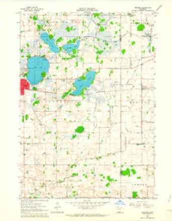
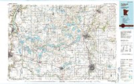
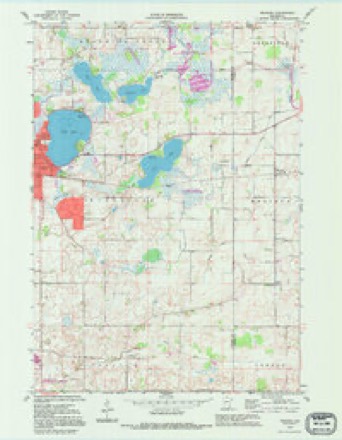
10 topographic sheets cover this place, the earliest surveyed in 1953 and the latest in 1992. It stands in Meriden Township. It lies in ZIP code area 55060. The Survey maps it on the Meriden quadrangle.
Topographic sheets covering this place
7 surveys from 10 printed sheetsMatched by testing this settlement's coordinate against the published boundary of every sheet in the United States Geological Survey's historical collection. Each opens the scanned sheet at the Survey.
- 1953 USGS Saint Paul quadrangle1:250000, 3 printings
- 1953 USGS St. Paul quadrangle1:250000
- 1959 USGS Saint Paul quadrangle1:250000
- 1959 USGS St. Paul quadrangle1:250000
- 1962 USGS Meriden quadrangle1:24000
- 1985 USGS Faribault quadrangle1:100000, 2 printings
- 1992 USGS Meriden quadrangle1:24000




In the county-history sources
354 words on this townshipGeographical and Statistical History of Steele County from Its Earliest Settlement to the Present Time. Embracing Leading Incidents of Pioneer Life, Names of Early Settlers ... &c, published 1868 names this settlement in its chapter on Meriden Township. These are the passages that mention it, exactly as the scans read.
Meriden is bounded on the north by Deerfield, east by Owatonna, south by Lemond, and west by Wilton, in Waseca county. In the western part of the town is a slough or marsh, covering nearly two sections of land, and from which flovs a small stream c^led Crane creek, running in a north-east direction, through the soutk-east corner oi Deerfield and north-west corner of Clinton Falls, emptying into Straight river at Medford. The southern portion is covered to some extent with oak openings, while the north-
Passage source: Geographical and Statistical History of Steele County from Its Earliest Settlement to the Present Time. Embracing Leading Incidents of Pioneer Life, Names of Early Settlers ... &c, published 1868.
Machine-read from a century-old scan, so expect the errors a machine makes: misspelled names, dropped words, stray characters.
Read the whole chapter on Meriden Township - it names this place 1 more 1 time.
Fires near this place
1 since 2020Regional context, not property-specific evidence. The federal wildfire occurrence database lists 1 fire within 5 miles of Meriden in 2020, burning about 1 acre in total. None started naturally. 1 was recorded as arson. Distance is straight-line from the map coordinates, so a fire counted here may appear on a neighbouring settlement's page as well.
| Reported cause | Fires |
|---|---|
| Arson/incendiarism | 1 |
The most recent of them, most recent first, with the day each was reported and the service that recorded it.
| Date | Cause | Size | Reported by | Name on the report |
|---|---|---|---|---|
| 1 August 2020 | Arson/incendiarism | 1.0 acres | Minnesota Valley National Wildlife Refuge | FELBER |
Settlements close enough to share some of these fires:
Mines and quarries near this place
1 within 5 milesRegional context, not property-specific evidence. The federal mineral resources record lists 1 working within 5 miles of Meriden: 1 producer. All of them still produce. What was taken out: Sand and Gravel, Construction. Distance is straight-line from the map coordinates, so a quarry counted here may appear on a neighbouring settlement's page as well.
| Where | Site | Commodity | Status | Recorded |
|---|---|---|---|---|
| Schmidt Pit | Sand and Gravel, Construction | Producer |
Storms near this place
13 since 1998Regional context, not property-specific evidence. The National Weather Service names Meriden in 13 storm reports between 1998 and 2026: 8 hail, 2 tornado, 1 thunderstorm wind, 1 flood. No death or injury is recorded in these reports. Each account below is quoted exactly as the forecast office filed it, from the NOAA Storm Events Database, and each date opens the federal record of that event.
| When | Event | Place named | Harm | What the report says |
|---|---|---|---|---|
| May 2021 | Funnel Cloud | Meriden | - | A storm chaser took video of a brief funnel cloud. It might have made ground contact but it was not possible to tell from the video, nor was there any damage noted. Therefore this has been recorded as a funnel cloud. |
| September 2018 | Tornado (EF1) | Meriden | - | A NWS storm survey, plus areal footage of drone and satellite data, concluded that an EF1 tornado started west of Owatonna, and tracked 6.5 miles across the southern and eastern portions of the town, before lifting east of the Brooktree Golf Course. The damage was consistent with EF1 damage with maximum wind speeds of 90 mph and a width of 300 yards. An outbuilding and silo were damaged near the start of the tornado track, with numerous large trees uprooted or blown down in the city of Owatonna. In addition to the tornado damage, severe straight-line winds from inflow of the tornado caused numerous large blown down trees and power poles on the south side of the track. |
| September 2018 | Tornado (EF1) | Meriden | - | This is the continued tornado track from the Waseca County tornado that moved an additional 7.2 miles through northwest Steele County. A storm survey, and high resolution satellite imagery indicated the tornado tracked mainly through corn and soy bean fields, and occasionally damaged a few sheds and outbuildings southwest of Medford. The worst damage was to a silo and grain bin which were destroyed by the tornado. This damage was consistent with EF1 damage with maximum wind speeds of 100 mph and a width of 350 yards. |
| September 2016 | Flood | Meriden | - | Runoff from torrential rainfall that occurred across most of Steele County Wednesday night, September 21st, caused numerous roads to remain impassable and closed. |
| September 2014 | Hail | Meriden | - | There was a large swath of hail, mainly penny size or smaller, that moved from east of Waseca along the Steele, Waseca County line, southeast to near Blooming Prairie. There was damage to corn crops associated with the hail. |
| June 2009 | Hail | Meriden | - | A local law enforcement official and a local amateur photographer took pictures of large hailstones northeast of Meriden, Minnesota. |
| June 2005 | Thunderstorm Wind | Meriden | - | An 18 inch diameter tree was downed onto Highway 14 in Meridan Township. |
| April 2026 | Hail | Meriden | - | no account filed |
| September 2020 | Hail | Meriden | - | no account filed |
| August 2014 | Hail | Meriden | - | no account filed |
| July 2006 | Hail | Meriden | - | no account filed |
| May 2001 | Hail | Meriden | - | no account filed |
| April 1998 | Hail | Meriden | - | no account filed |
Nearest settlements
The eight closest, with where each one stands in the county. Distances are straight-line, computed from the Geographic Names Information System coordinates.
| Map | Place | Distance | Sheets |
|---|---|---|---|
| Lemond | 6.3 miles | 7 | |
| Deerfield | 6.6 miles | 9 | |
| Saco | 8.0 miles | 10 | |
| Owatonna | 8.6 miles | 9 | |
| Clinton Falls | 8.7 miles | 9 | |
| Hope | 9.7 miles | 7 | |
| Medford | 10.2 miles | 9 | |
| Steele Center | 10.3 miles | 7 |
Provenance
This settlement is recorded in the Geographic Names Information System as feature 647776. The sheet list is computed by point-in-boundary test against the United States Geological Survey's historical topographic inventory. Both are works of the United States government and carry no copyright under 17 U.S.C. 105.
Wildfire. Short, Karen C. 2022. Spatial wildfire occurrence data for the United States, 1992-2020 [FPA_FOD_20221014]. 6th Edition. Fort Collins, CO: Forest Service Research Data Archive. https://doi.org/10.2737/RDS-2013-0009.6 Collected with United States Government funding and usable without additional permissions or fees.
Mines and quarries. USGS Mineral Resources Data System (MRDS) https://mrdata.usgs.gov/mrds/ A work of the United States government, no copyright under 17 U.S.C. 105.
Storms. NOAA National Centers for Environmental Information, Storm Events Database https://www.ncei.noaa.gov/stormevents/ A work of the United States government, no copyright under 17 U.S.C. 105. Narratives are quoted verbatim from the National Weather Service report and are not edited or summarised.