 Block
Deerfield, Minnesota
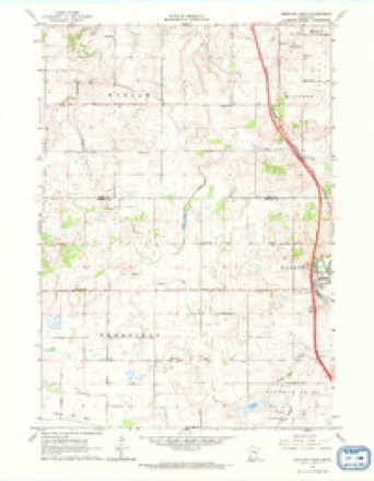
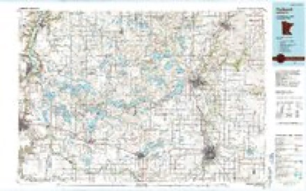
9 topographic sheets cover this place, the earliest surveyed in 1953 and the latest in 1985. It stands in Deerfield Township. It lies in ZIP code area 55049. The Survey maps it on the Medford West quadrangle.
Topographic sheets covering this place
6 surveys from 9 printed sheetsMatched by testing this settlement's coordinate against the published boundary of every sheet in the United States Geological Survey's historical collection. Each opens the scanned sheet at the Survey.
- 1953 USGS Saint Paul quadrangle1:250000, 3 printings
- 1953 USGS St. Paul quadrangle1:250000
- 1959 USGS Saint Paul quadrangle1:250000
- 1959 USGS St. Paul quadrangle1:250000
- 1962 USGS Medford West quadrangle1:24000
- 1985 USGS Faribault quadrangle1:100000, 2 printings




In the county-history sources
723 words on this townshipGeographical and Statistical History of Steele County from Its Earliest Settlement to the Present Time. Embracing Leading Incidents of Pioneer Life, Names of Early Settlers ... &c, published 1868 names this settlement in its chapter on Deerfield Township. These are the passages that mention it, exactly as the scans read.
In the north-west corner of Steele couny, with Rice countf on the north, and Waseca on the west, and bounded on the east by Medford and Clinton Falls, with Meriden on the south, lies the town of Deerfield. Its location is very favorable in an agricultural point of view, being ten miles from the city of Faribault and only seven from Owatonna, the real railroad center of Southern Minnesota, with the little village of Medford within three miles, which affords a market and freighting facilities for all who may desire to dispose of their wheat and other grains at this place, without carrying to a point more remote by teams. The south-west portion of the town finds an easy and convenient market at Waseca, on the Winona & St. Peter Railroad, so that in almost any direction the people may find a market for all their grain and produce at a very short distance from their doors.
Passage source: Geographical and Statistical History of Steele County from Its Earliest Settlement to the Present Time. Embracing Leading Incidents of Pioneer Life, Names of Early Settlers ... &c, published 1868.
Deerfield was first settled about the 12th day of May, 1855, by Edward McCartney, from Elgin, Ills., who with his family of wife and three children and a brother of his wife, located on the north-west quarter of section eight. He remained about two years, when he sold out and return- -ed to Illinois, but soon came back to Minnesota and located at Morristown in Rice county, but becoming discontented went to California, and after spending a time in the land of gold, returned to Minnesota, sold his property and emigrated to Cass county, Nebraska, where he now resides. Other settlers followed Mr. McCartney into the town,
Passage source: Geographical and Statistical History of Steele County from Its Earliest Settlement to the Present Time. Embracing Leading Incidents of Pioneer Life, Names of Early Settlers ... &c, published 1868.
Machine-read from a century-old scan, so expect the errors a machine makes: misspelled names, dropped words, stray characters.
Storms near this place
1 since 2006Regional context, not property-specific evidence. The National Weather Service names Deerfield in 1 storm report in 2006: 1 hail. No death or injury is recorded in these reports. Each account below is quoted exactly as the forecast office filed it, from the NOAA Storm Events Database, and each date opens the federal record of that event.
| When | Event | Place named | Harm | What the report says |
|---|---|---|---|---|
| July 2006 | Hail | Deerfield | - | no account filed |
Nearest settlements
The eight closest, with where each one stands in the county. Distances are straight-line, computed from the Geographic Names Information System coordinates.
Provenance
This settlement is recorded in the Geographic Names Information System as feature 654669. The sheet list is computed by point-in-boundary test against the United States Geological Survey's historical topographic inventory. Both are works of the United States government and carry no copyright under 17 U.S.C. 105.
Storms. NOAA National Centers for Environmental Information, Storm Events Database https://www.ncei.noaa.gov/stormevents/ A work of the United States government, no copyright under 17 U.S.C. 105. Narratives are quoted verbatim from the National Weather Service report and are not edited or summarised.