 Block
Concordia, Missouri
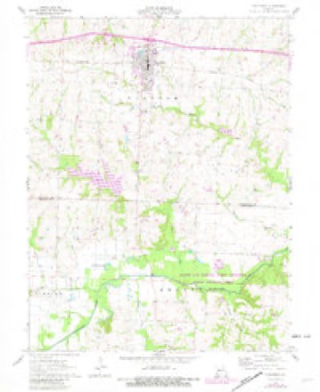
23 topographic sheets cover this place, the earliest surveyed in 1885 and the latest in 1983. It stands in Freedom Township. It lies in ZIP code area 64020. The Survey maps it on the Concordia quadrangle. 2,371 people lived here at the 2020 count. It stands 791 feet above sea level.
Population over time
2 figuresConcordia fell from 2,450 to 2,371 between 2010 and 2020. These are the recorded population figures Wikidata holds for this place, reached through the Geographic Names Information System number this page is keyed on rather than by name, so they belong to this place and not to another of the same name. Most are census counts, but not all are: an early figure may be a founding or settlement estimate, and an estimate published within five years of a census is left out. The change column is computed, and is left blank where more than 20 years separate a figure from the one before it, because a gap that long is not a change between two counts.
| Year | People | Change |
|---|---|---|
| 2010 | 2,450 | |
| 2020 | 2,371 | -79 (-3%) |
Topographic sheets covering this place
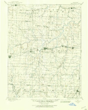
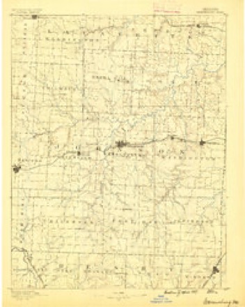
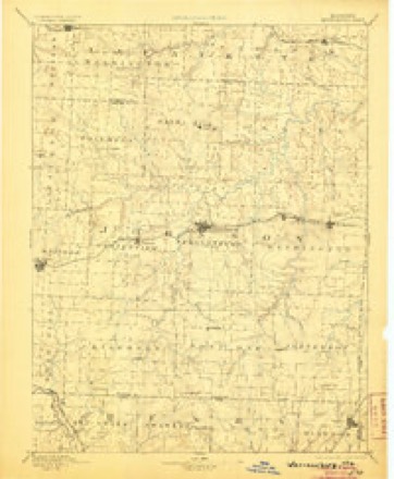
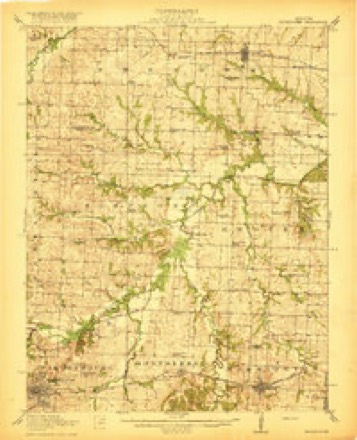
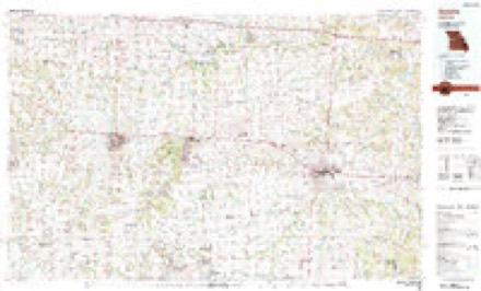
11 surveys from 23 printed sheetsMatched by testing this settlement's coordinate against the published boundary of every sheet in the United States Geological Survey's historical collection. Each opens the scanned sheet at the Survey.
- 1885 USGS Warrensburg quadrangle1:125000
- 1887 USGS Warrensburg quadrangle1:125000
- 1894 USGS Warrensburg quadrangle1:125000, 5 printings
- 1917 USGS Knobnoster quadrangle1:62500, 3 printings
- 1947 USGS Jefferson City quadrangle1:250000
- 1954 USGS Jefferson City quadrangle1:250000, 2 printings
- 1955 USGS Jefferson City quadrangle1:250000, 4 printings
- 1958 USGS Jefferson City quadrangle1:250000
- 1959 USGS Jefferson City quadrangle1:250000
- 1962 USGS Concordia quadrangle1:24000, 3 printings
- 1983 USGS Sedalia quadrangle1:100000





What happened here
An account from the chapter on Freedom township. The inset identifies its exact source book and publication year.
Bushwhacking And Bank Robbery
In 1863, during the Civil war strife, a party of thirty-five bushwhackers came across Davis creek to where Concordia now stands and killed Lewis Fiene, William Schornhorst, D. Karston and Conrad Bruns. They were made to stand up in a row, and when the shooting at them commenced some started to run, but all were finally killed.
In the county-history sources
4,315 words on this townshipHistory of Lafayette County, Mo. , Carefully Written and Compiled from the Most Authentic Official and Private Sources, Including a History of Its Townships, Cities, Towns, and Villages, Together with a Condensed History of Missouri; the Constitution of the United States, and State of Missouri; a Military Record of Volunteers in Either Army of the Great Civil War .., published 1881; Young's History of Lafayette County, Missouri, published 1910 names this settlement in its chapter on Freedom Township. These are the passages that mention it, exactly as the scans read.
The Chihuahua Grange, No. 14.38, in this township was instituted by Lewis Neal and the date of its charter is Jan. 24, 1874. The names of the charter members are Julius D. Clarkson, Wm. H. Pilkington, James A. Anderson, Theodore Wilson, John H. Wilson, Philip Atkinson, Wm. Means, Hugh M. Pool, Charles R. Anderson, Mrs. Nancy Mathews, Julia Clarkson, Mrs. Nancy Mathews, Jr., James Mathews. First Master, J. D. Clarkson ; O., Wm. H. Pickington ; Lecturer, J. A. Anderson ; Steward, The. C. Wilson, A. S., J. H. Wilson; Chaplain, P. E. x\tkinson; Treasurer, W.H. Means; Secretary, H. M. Pool; G. K., C. R. Anderson; C, Mrs. Nancy Mathews; P., Julia Clarkson; Flora, Lucy Wilson; Lady Assistant S., Miss Nannie Dalton.
Eighty-five years ago the first white man invaded the territory embraced within Freedom township. His name was Patrick Henry, who effected a settlement in the eastern portion of the township. A little later, the western portion of the township was settled by Samuel and John Scott. James and Chris Mulkey located in what became known as Mulkey's Grove, about two and a half miles southeast of the present village of Aullville. Classed as early comers to the township may be named these : Doctor Davis, Nat. Davis, William Davis, David Mock, Jacob Phillip, George and David Welborn, Brooks Wellington, John Walker, James Atterberry and Daniel Greenwood. These nearly all located around the old town of Freedom.
Passage source: Young's History of Lafayette County, Missouri, published 1910.
Freedom (now a defunct village of this township) was laid out in i860, by Franklin Mock, on section 9, township 48, range 25, and made a matter of public record. William Kane erected a store building, two stories high, forty by twenty-four feet, in which he carried on a general merchandise business. The house in which Doctor Belt later resided was the first residence of the village. Davis, Livingwood & Son put in operation an ox-tread gristmill, which later was removed to Aullville. The second store in the place was built by Wesley Cox, and there he carried a small stock of dry goods and groceries. Three years before the village was platted, the Christian denomination erected a church building, at a cost of seven hundred aollars. The Methodists also held an interest in it and worshiped therein. It was finally removed to Aullville. There were several business houses erected at Freedom, but with the building of the railroad through the township, the good start towards a lively town was thwarted and finally all became dilapidated and many of the buildings were removed to the nearby railroad station, Aullville. Doctor Wilborn was postmaster at one time, and later it was moved to the store of Mr. Kane. It is now numbered among the defunct villages of Lafayette county.
Passage source: Young's History of Lafayette County, Missouri, published 1910.
Machine-read from a century-old scan, so expect the errors a machine makes: misspelled names, dropped words, stray characters.
Read the whole chapter on Freedom Township - it names this place 13 more 13 times.
Fires near this place
2 since 1992Regional context, not property-specific evidence. The federal wildfire occurrence database lists 2 fires within 5 miles of Concordia between 1992 and 2018, burning about 55 acres in total. None started naturally. None was recorded as arson. Distance is straight-line from the map coordinates, so a fire counted here may appear on a neighbouring settlement's page as well.
| Reported cause | Fires |
|---|---|
| Missing data/not specified/undetermined | 1 |
| Debris and open burning | 1 |
The most recent of them, most recent first, with the day each was reported and the service that recorded it.
| Date | Cause | Size | Reported by | Name on the report |
|---|---|---|---|---|
| 17 April 2018 | Missing data/not specified/undetermined | 5.1 acres | Missouri Department of Conservation | 176683-05130-04172018-1730 |
| 26 March 1992 | Debris and open burning | 50 acres | Missouri Department of Conservation | not named |
Settlements close enough to share some of these fires:
Storms near this place
27 since 1996Regional context, not property-specific evidence. The National Weather Service names Concordia in 27 storm reports between 1996 and 2024: 13 hail, 7 thunderstorm wind, 5 flash flood, 1 tornado. No death or injury is recorded in these reports. Each account below is quoted exactly as the forecast office filed it, from the NOAA Storm Events Database, and each date opens the federal record of that event.
| When | Event | Place named | Harm | What the report says |
|---|---|---|---|---|
| August 1999 | Flood | Concordia | $25,000 | High water covered State Highway 23 in Concordia. Newspaper accounts indicate that gravel was washed from some streets in and near Concordia, and the blacktop was ripped off of part of another street. |
| March 2006 | Hail | Concordia | $25,000 | no account filed |
| June 1998 | Thunderstorm Wind | Concordia | $10,000 | Severe thunderstorm winds blew a large tree onto the roof of a house in Concordia. |
| October 2007 | Thunderstorm Wind | Concordia | $2,000 | The roof of a loafing shed was ripped from a barn. Also a 2x4 board pierced the wall of the garage. |
| May 2024 | Thunderstorm Wind | Concordia | - | Downed power lines and power outages near Smelser Road. |
| September 2023 | Hail | Concordia | - | Quarter sized hail reported at TA Travel Center. |
| July 2023 | Thunderstorm Wind | Concordia | - | Estimated 60 mph winds in Concordia. Tree limbs downed. |
| May 2020 | Thunderstorm Wind | Concordia | - | Several tree branches were down in Concordia, along with some minor structural damage. Winds were estimated at 60 to 65 mph. |
| August 2018 | Thunderstorm Wind | Concordia | - | A metal roof was blown off a building and into a nearby field. A propane tank was knocked over. |
| June 2015 | Flash Flood | Concordia | - | Highway 23, north of Concordia had water flowing over the road making it impassible. |
| April 2011 | Thunderstorm Wind | Concordia | - | A 5 foot in diameter tree was uprooted. Numerous one foot in diameter tree branches were broken off of trees. Thunderstorm wind gusts were estimated up to 60 mph. |
| June 2007 | Flash Flood | Concordia | - | Highway 23, north and south of Concordia, had water over the road. |
| June 2005 | Flash Flood | Concordia | - | Roads closed due to flooding on Highway 23, FF Highway and D Highway. |
| April 2001 | Flash Flood | Concordia | - | Law enforcement reported flash flooding with many city roads under water. |
| October 1998 | Hail | Concordia | - | Hail covered the ground. |
| December 2017 | Hail | Concordia | - | no account filed |
| February 2011 | Hail | Concordia | - | no account filed |
| July 2008 | Hail | Concordia | - | no account filed |
| March 2006 | Hail | Concordia | - | no account filed |
| March 2006 | Hail | Concordia | - | no account filed |
| May 2004 | Hail | Concordia | - | no account filed |
| June 2004 | Hail | Concordia | - | no account filed |
| April 2003 | Hail | Concordia | - | no account filed |
| May 2001 | Hail | Concordia | - | no account filed |
| April 2001 | Hail | Concordia | - | no account filed |
| May 1996 | Tornado (F0) | Concordia | - | no account filed |
| July 1996 | Flash Flood | Concordia | - | no account filed |
Nearest settlements
The eight closest, with where each one stands in the county. Distances are straight-line, computed from the Geographic Names Information System coordinates.
| Map | Place | Distance | Sheets |
|---|---|---|---|
| Ernestville | 4.8 miles | 22 | |
| Aullville | 6.3 miles | 15 | |
| Alma | 7.8 miles | 16 | |
| Corder | 8.8 miles | 15 | |
| Higginsville | 10.0 miles | 15 | |
| Simpson | 11.8 miles | 15 | |
| Fortyville (historical) | 12.8 miles | 16 | |
| Page City | 13.1 miles | 17 |
Elsewhere
Matched on this settlement's Geographic Names Information System number rather than its name, so it cannot be a different place of the same name in another state.
| Wikipedia article on Concordia | An encyclopaedic summary. Its text is share-alike, so it is linked here rather than copied. |
| Wikidata item Q953335 | The structured record the population and elevation above come from. Public domain (CC0). |
Provenance
This settlement is recorded in the Geographic Names Information System as feature 716186. The sheet list is computed by point-in-boundary test against the United States Geological Survey's historical topographic inventory. Both are works of the United States government and carry no copyright under 17 U.S.C. 105.
Wildfire. Short, Karen C. 2022. Spatial wildfire occurrence data for the United States, 1992-2020 [FPA_FOD_20221014]. 6th Edition. Fort Collins, CO: Forest Service Research Data Archive. https://doi.org/10.2737/RDS-2013-0009.6 Collected with United States Government funding and usable without additional permissions or fees.
Storms. NOAA National Centers for Environmental Information, Storm Events Database https://www.ncei.noaa.gov/stormevents/ A work of the United States government, no copyright under 17 U.S.C. 105. Narratives are quoted verbatim from the National Weather Service report and are not edited or summarised.