 Block
From the record
24 National Register listings published here.
Sources: the National Register database, National Park Service
60 topographic sheets and 23 fire insurance atlases across 3 places.
24 National Register listings published here.
Sources: the National Register database, National Park Service
Taken for the Office of War Information and the Farm Security Administration, who photographed the country between 1935 and 1944. Works of United States government photographers, with no known restriction on use. Each opens its catalogue record.





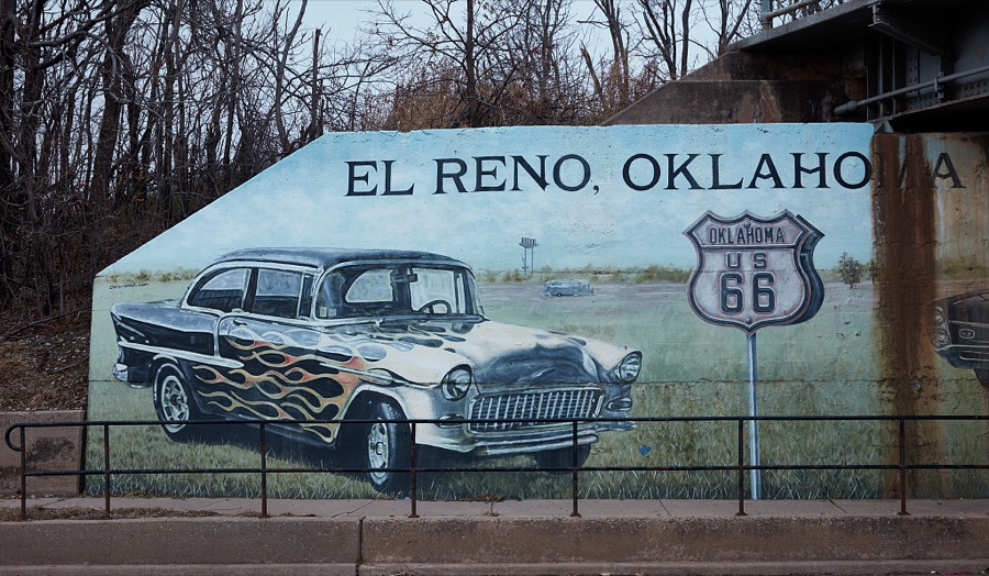
Every property in this county listed on the National Register of Historic Places, with the year it was listed and the federal nomination document.
| Photograph | Property | Type | Listed | Reference |
|---|---|---|---|---|
 | Avant's Cities Service Station | building | 2004 | 04000131 |
| Bridgeport Hill Service Station | building | 2003 | 03001239 | |
| Bridgeport Hill-Hydro OK 66 Segment | district | 2004 | 04000129 | |
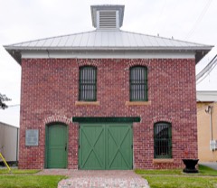 | Canadian County Jail | building | 1985 | 85002790 |
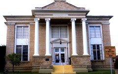 | Carnegie Library | building | 1980 | 80003257 |
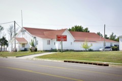 | Czech Hall | building | 1980 | 80003258 |
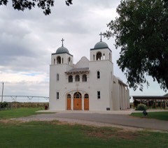 | Darlington Agency Site | district | 1973 | 73001557 |
 | El Reno High School | building | 2000 | 00000179 |
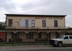 | El Reno Hotel | building | 1979 | 79001988 |
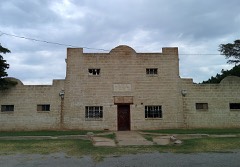 | El Reno Municipal Swimming Pool Bath House | building | 2000 | 00000178 |
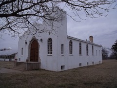 | Fort Reno | district | 1970 | 70000529 |
 | William I. and Magdalen M. Goff House | building | 1988 | 88001317 |
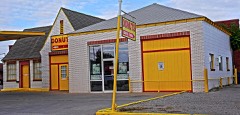 | Jackson Conoco Service Station | building | 2004 | 04000132 |
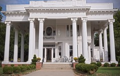 | Henry Lassen House | building | 2008 | 08000852 |
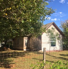 | Meloy House | building | 2014 | 14000592 |
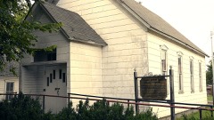 | Mennoville Mennonite Church | building | 1979 | 79001989 |
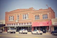 | Mulvey Mercantile | building | 1982 | 82003670 |
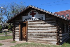 | Red Cross Canteen | building | 1975 | 75001560 |
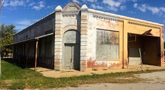 | Richardson Building | building | 1983 | 83004164 |
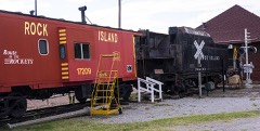 | Rock Island Depot | building | 1983 | 83002078 |
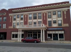 | Southern Hotel | building | 1978 | 78002220 |
| St. John's Evangelical Lutheran Church | building | 2024 | 100010406 | |
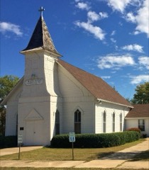 | West Point Christian Church | building | 1983 | 83002079 |
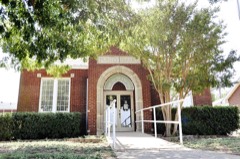 | Yukon Public Library | building | 1984 | 84002977 |
Drawn when these were printed as single large sheets: the town seen from the air, and the county divided into its farms with every owner named. Each opens the original at the Library of Congress.
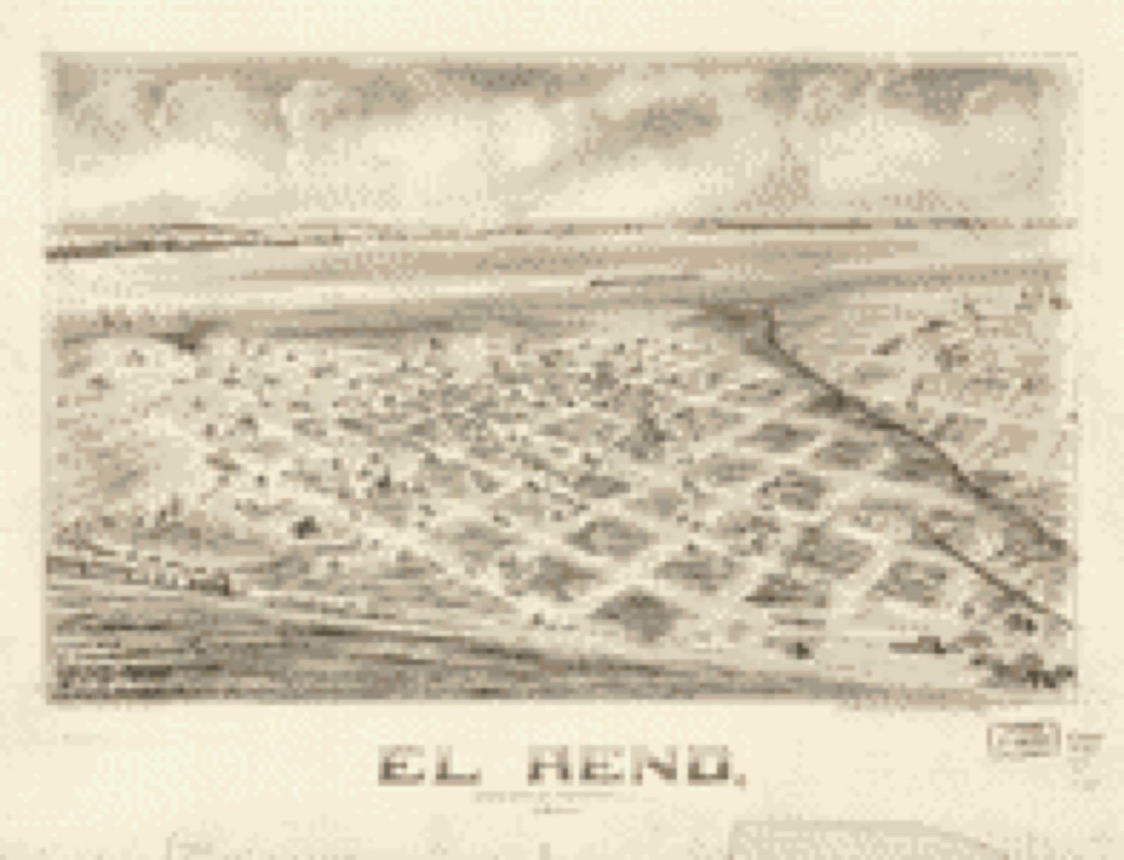
Selected from the Digital Public Library of America's 1 image records catalogued for this county. Every one shown here carries a public-domain status or a licence that permits reuse on a site that carries advertising; non-commercial, share-alike and restricted images are excluded. The selection is spread across the county's towns (at most eight per town), so no single institution's bulk upload crowds out the rest. Each opens the holding library's record, and the complete set at the Digital Public Library of America is one click away.
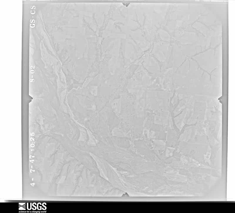
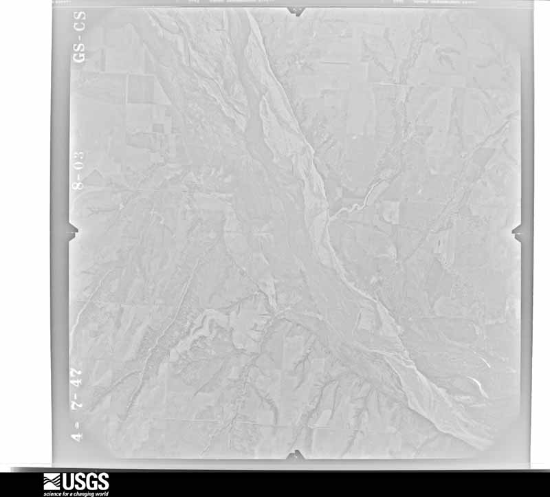
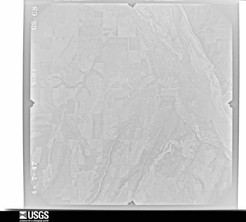
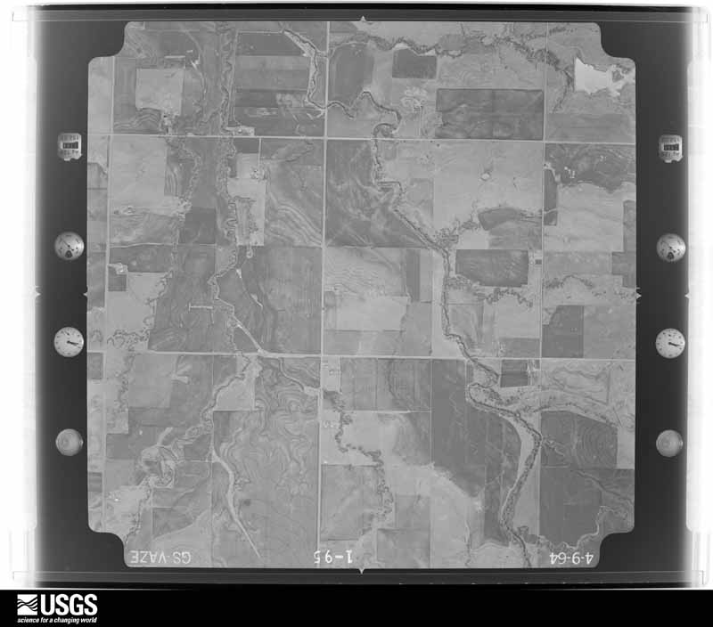
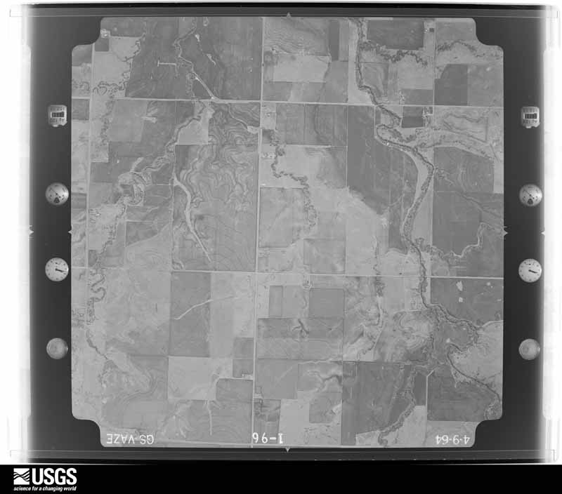
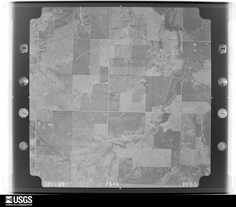
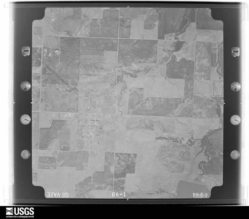
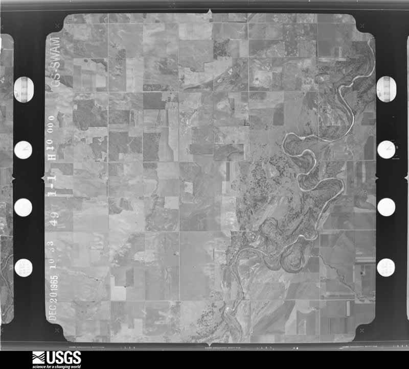
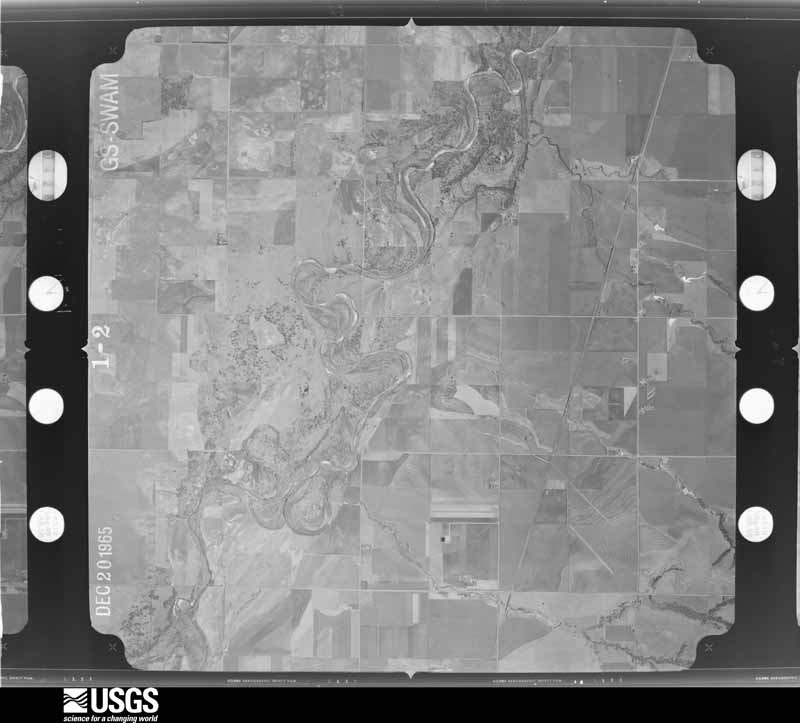
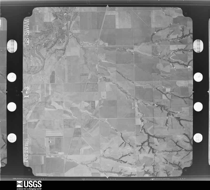
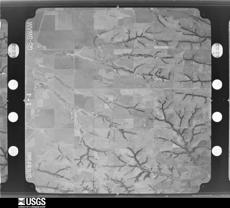
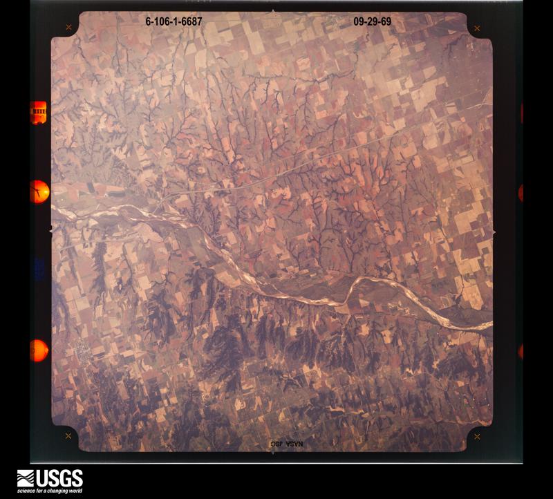
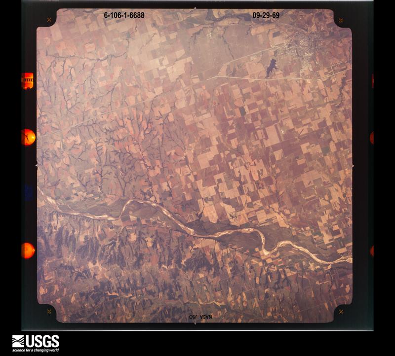
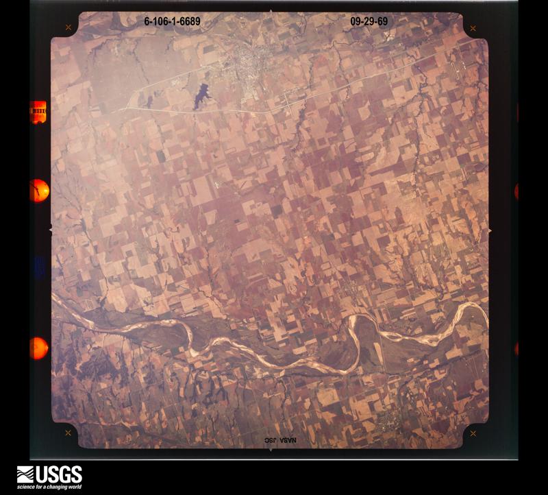
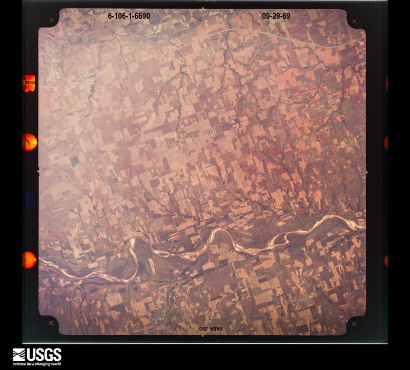
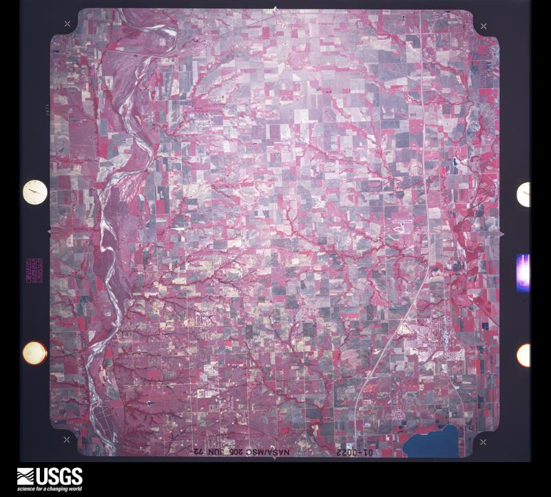
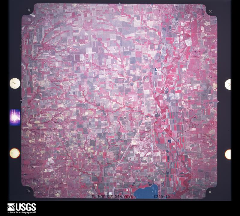
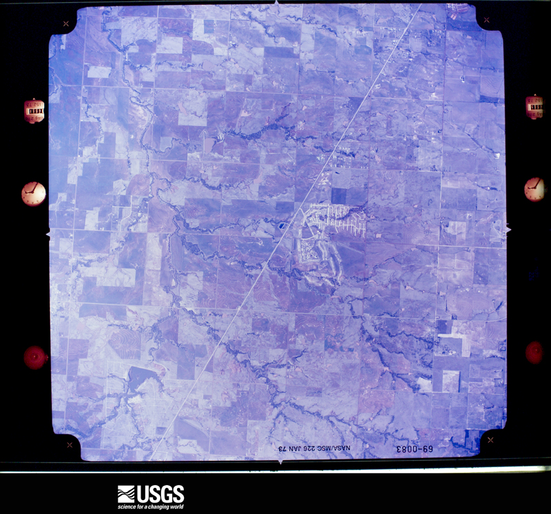
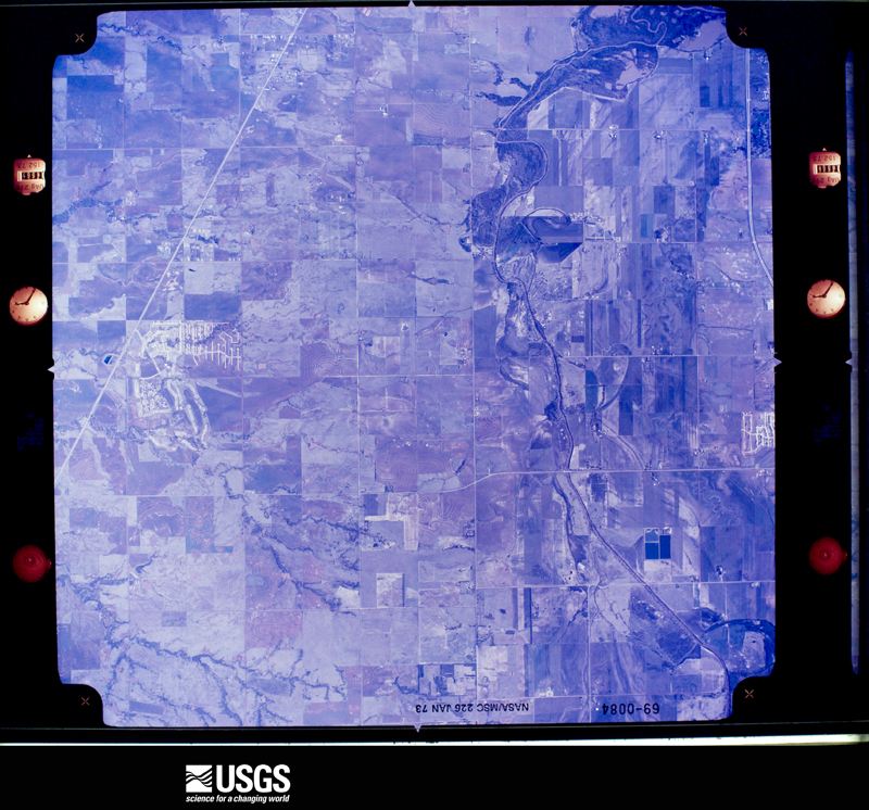
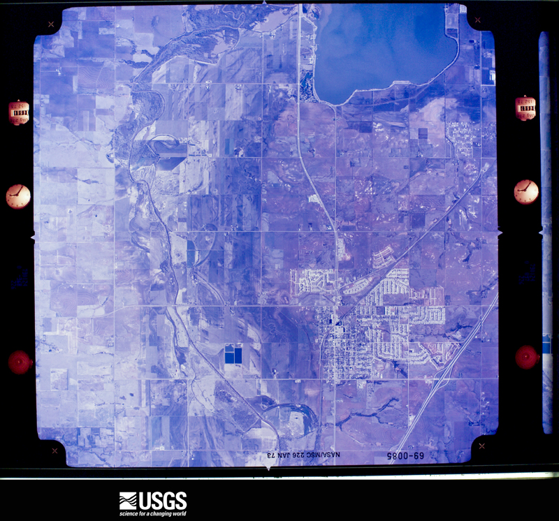
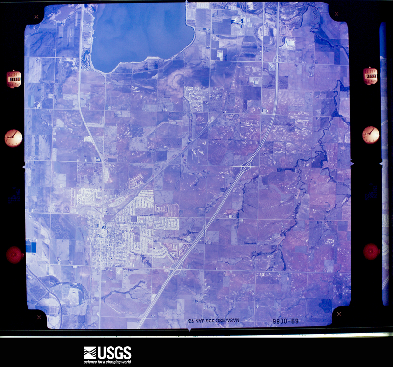
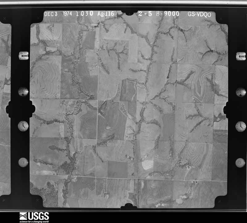
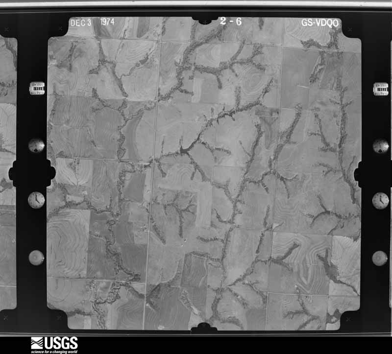
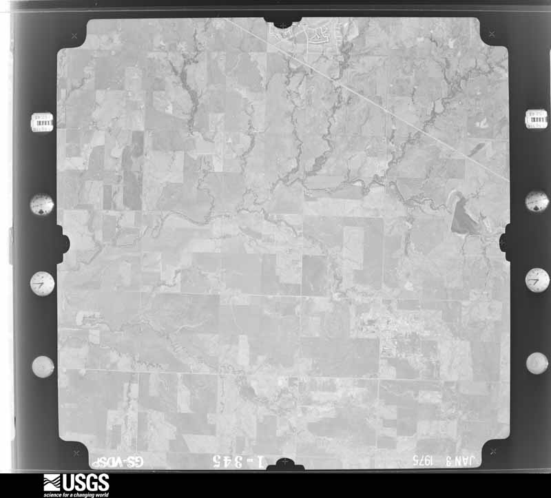
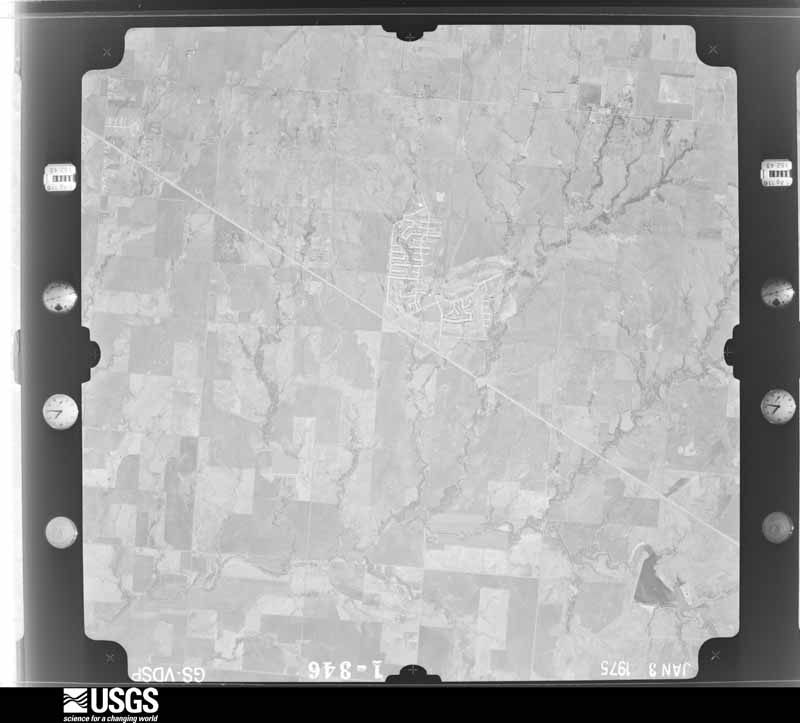
Flown by the U.S. Geological Survey between 1937 and 1989, the Aerial Photo Single Frames collection is the definitive mid-century view of the land: fields, roads and rivers as the camera saw them. The Survey holds 1,710 frames inside the rectangle that bounds this county; the 48 frames below were taken over the county itself, chosen across the decades of flights (at most four a year from that rectangle), so one flight cannot crowd out the rest. The full set is free to browse and download at EarthExplorer under the dataset Aerial Photo Single Frames.

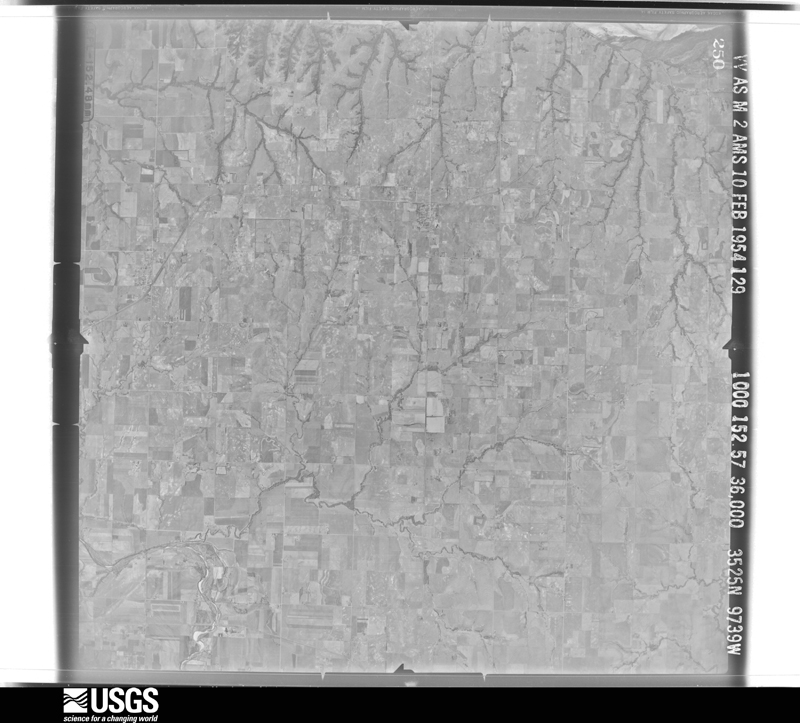
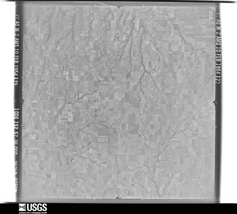
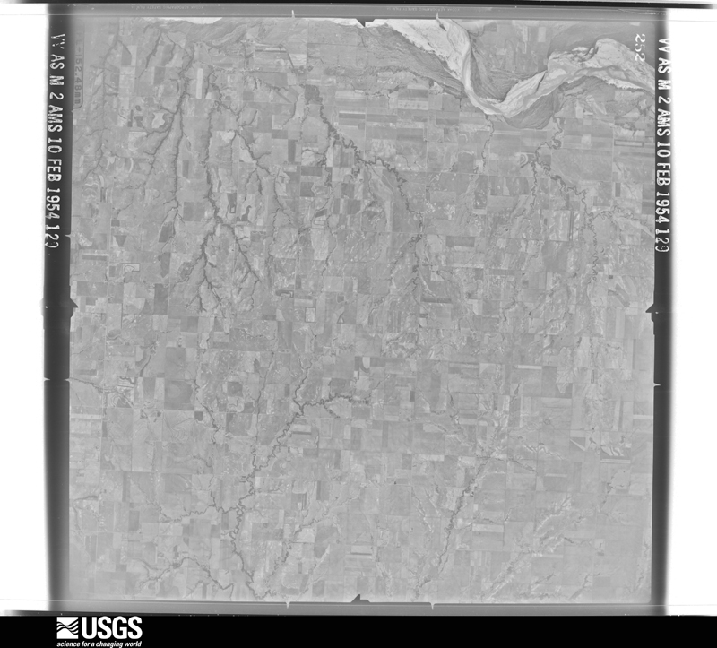
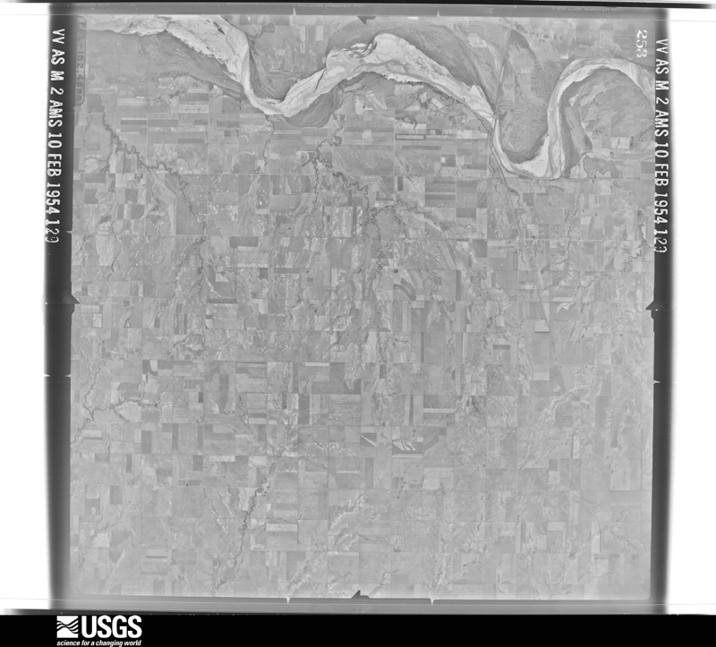
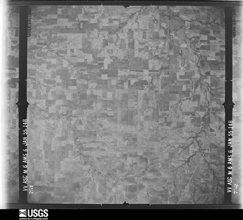
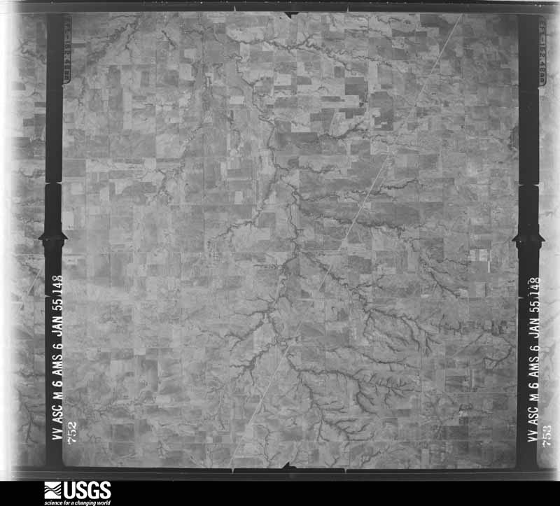
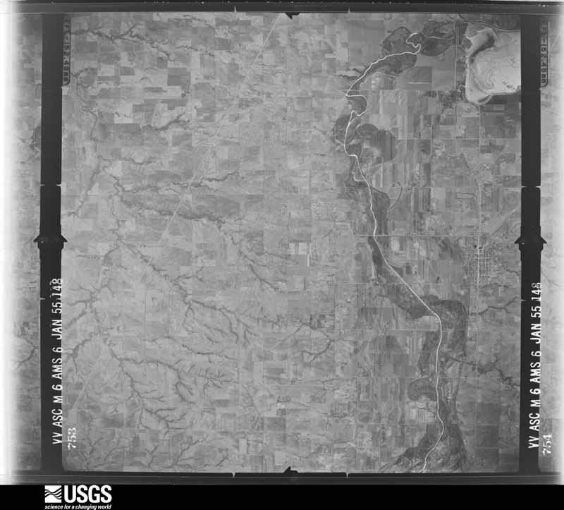
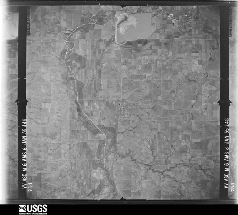
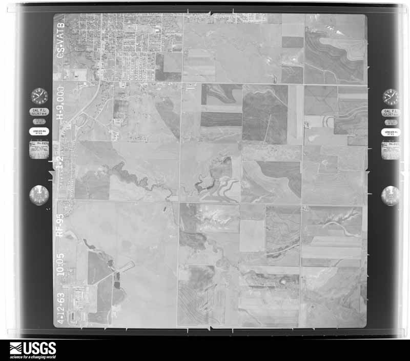
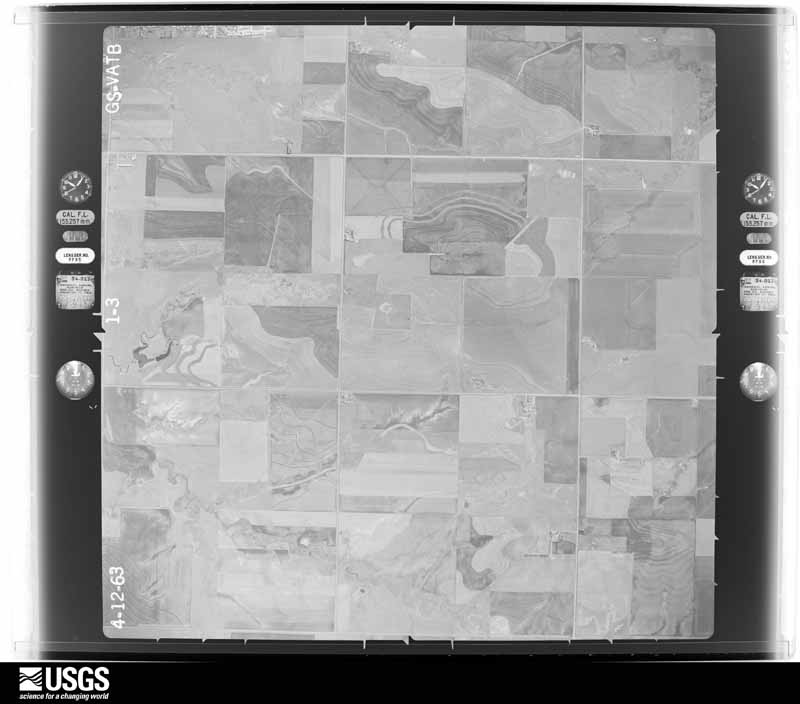
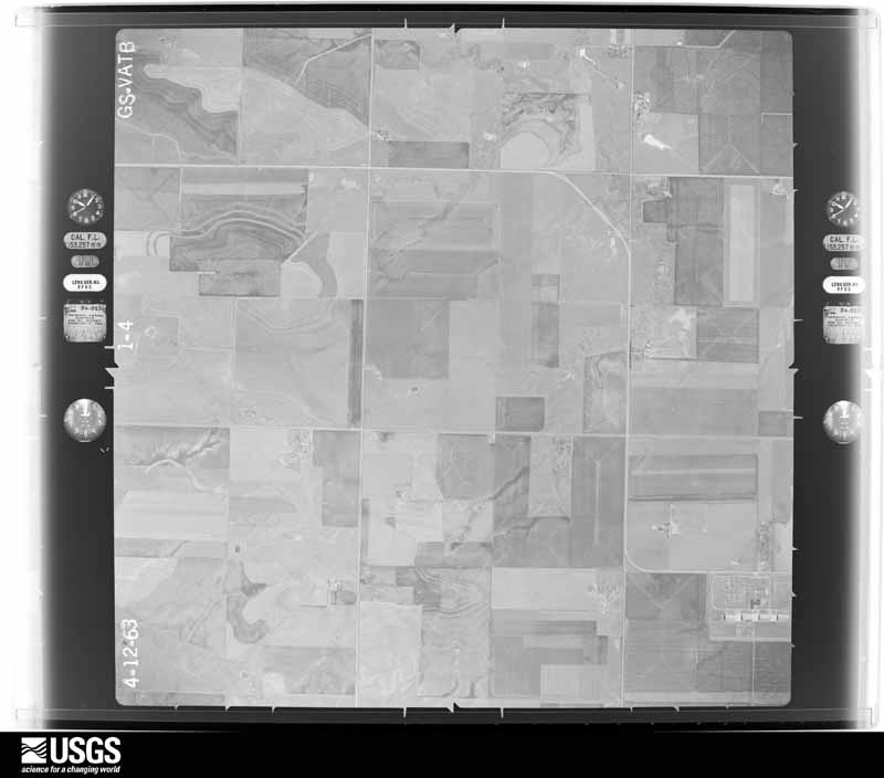
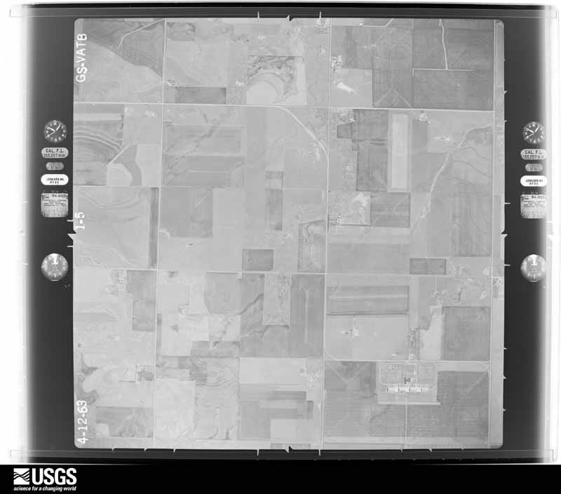
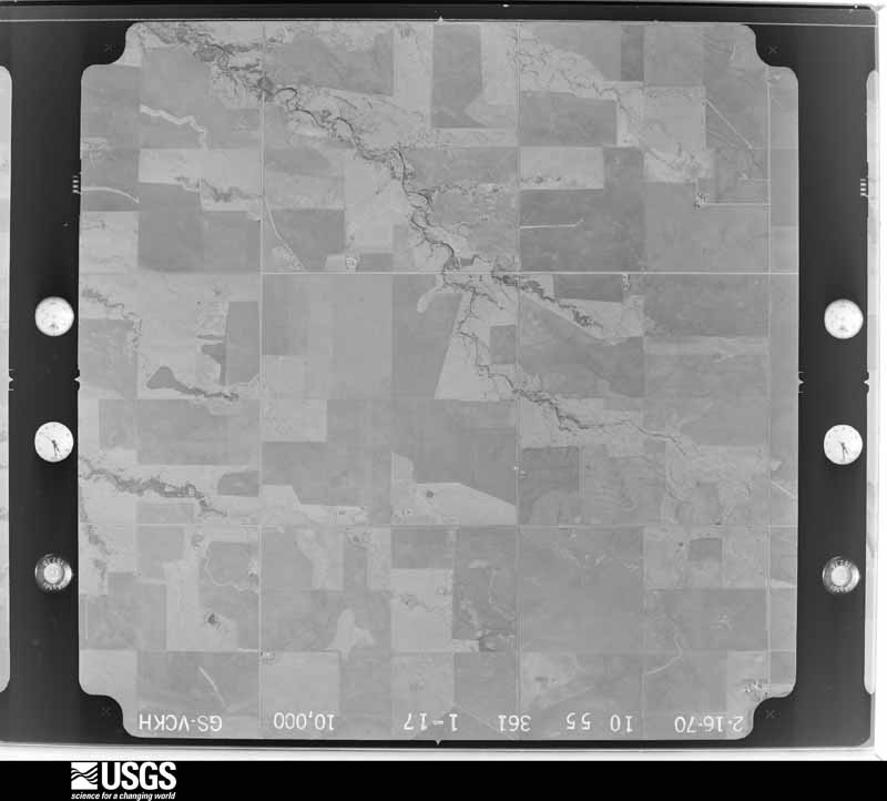
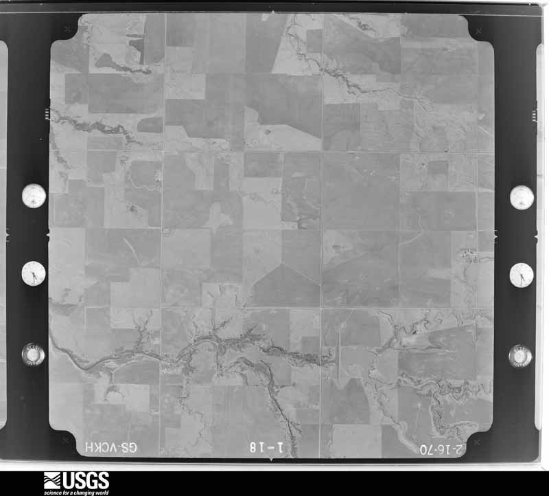
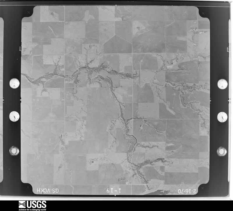
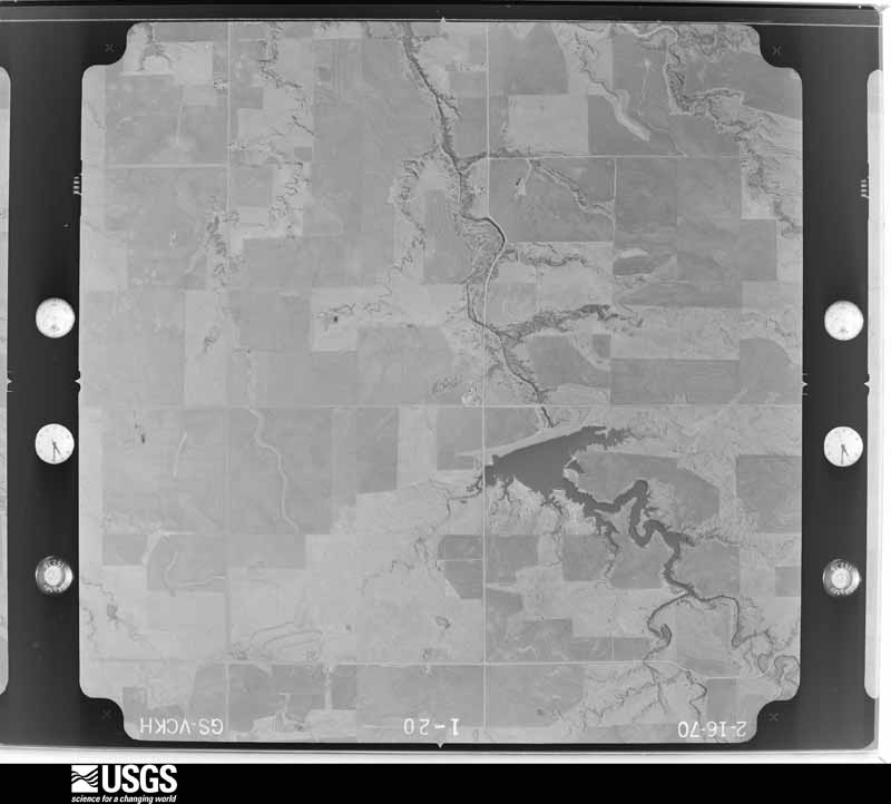


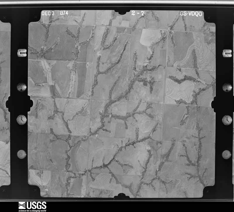
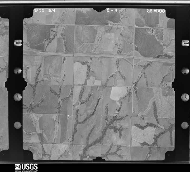
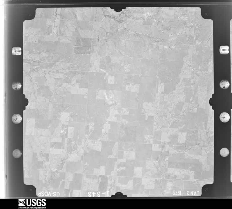
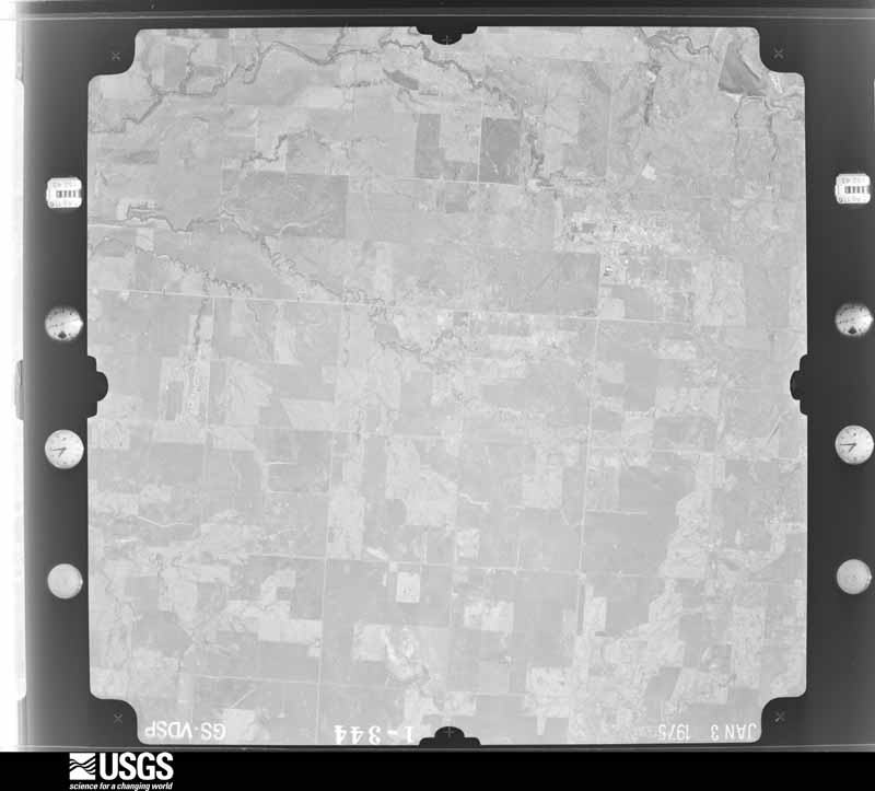
The thermometers that kept this county's weather, and the gages that measured the flow of its streams, as the federal records hold them. The extremes below are measured values from those records, not estimates.
Who lived here in 1950, one enumeration district at a time, as the Census Bureau described each district. Each row opens its official National Archives result, with Population Schedules and ED Maps available there.
Every wildfire the federal occurrence database records inside this county: 92 of them, burning about 14,301 acres. None started naturally and 11 were recorded as arson. Each settlement page carries the fires within five miles of it.
| Reported cause | Fires |
|---|---|
| Missing data/not specified/undetermined | 37 |
| Debris and open burning | 16 |
| Arson/incendiarism | 11 |
| Fireworks | 11 |
| Equipment and vehicle use | 10 |
| Recreation and ceremony | 2 |
| Other causes | 2 |
| Power generation/transmission/distribution | 2 |
| Firearms and explosives use | 1 |
The five largest, by the area the report gives. None of them was recorded as arson.
| Date | Cause | Size | Reported by | Name on the report |
|---|---|---|---|---|
| 14 March 2006 | Firearms and explosives use | 3,000 acres | Concho Field Office | STRONG |
| 12 March 2006 | Missing data/not specified/undetermined | 2,950 acres | Oklahoma Division of Forestry | CEDAR LAKE |
| 15 March 2018 | Equipment and vehicle use | 2,484 acres | Concho Field Office | MAPLE |
| 2 August 2012 | Missing data/not specified/undetermined | 1,066 acres | Concho Field Office | SPUR |
| 15 June 2020 | Missing data/not specified/undetermined | 710 acres | Oklahoma Division of Forestry | RENO RD. FIRE |
| 27 January 2018 | Missing data/not specified/undetermined | 637 acres | Oklahoma Division of Forestry | BARICK |
| 24 June 2011 | Equipment and vehicle use | 328 acres | Concho Field Office | RANCH RD |
| 11 February 2006 | Missing data/not specified/undetermined | 300 acres | Oklahoma Division of Forestry | HEFNER |
Every settlement page carries the fires within five miles of it - see the settlement index below.
The NOAA Storm Events Database holds 1,261 reports for this county, causing 20 deaths, 186 injuries and about $32,316,370 in recorded property damage. Each settlement page carries the reports that name it.
| Kind of event | Reports |
|---|---|
| Hail | 712 |
| Thunderstorm Wind | 375 |
| Tornado | 109 |
| Flash Flood | 49 |
| Lightning | 10 |
| Flood | 4 |
| Heavy Rain | 2 |
The most serious of them, by death, then injury, then recorded damage. The accounts are quoted exactly as the forecast office filed them.
| When | Event | Place named | Harm | What the report says |
|---|---|---|---|---|
| May 2013 | Tornado (EF3) | Calumet | 8 killed, 26 hurt, $300,000 | On 31 May, an intense, long-track tornado formed southwest of El Reno. This exceptionally wide tornado took a complex path, rapidly changing in both speed and direction. The tornado spared El Reno and its airport from a direct hit, tracking just south of those locations. The tornado damaged numerous homes along with a few businesses near El Reno. Additionally, intense sub-vortices destroyed crops in numerous fields in the area.||The tornado developed at 6:03 p.m. just northeast of the intersection of Heaston and Reuter roads. Initially, the tornado moved to the southeast at 20 to 25 mph. At 6:09 p.m., the tornado turned to the east, just south of Reno Road between Heaston and Brandley roads. The tornado continued to expand in size just southwest of the El Reno Municipal Air Park, where its speed increased to 30 to 40 mph. As the tornado passed just south of the airport, two satellite tornadoes formed briefly on the west side of the tornado.||At 6:19 p.m. the tornado crossed Highway 81 near Reno Road as it continued to expand in size. There, the tornado abruptly turned to the north, while also accelerating to greater than 50 mph. From 6:24 to 6:26 p.m., the tornado reached its maximum in size and intensity near the intersection of Radio and Reuter roads. The tornado, still very large, slowed down as it approached I-40. From 6:27 to 6:35 the tornado made a loop just north of the interstate while decelerating to less than 10 mph. After 6:35, the tornado moved east once again, and dissipated at 6:42 p.m. near the intersection of I-40 and Banner Road.| |Eight people were killed in the tornado, all in vehicles. This included three severe storm researchers who were killed east of US-81 as the tornado overtook their position. Additionally, several other people were killed while attempting to escape the tornado near Highway 81. Finally, two people were killed along I-40 while waiting for the storm to pass.||The monetary damages were estimated. This tornado was well sampled by two separate mobile research radar teams the University of Oklahoma RaXPol radar, and the Center for Severe Weather Researchs Doppler on Wheels. Both radars captured high temporal and spatial resolution data relatively close to the large tornado. Both radars measured winds in the tornado of more than 200 mph. The RaXPol radar data shows winds of at least 295 mph very close to the surface. These intense winds were present in very small sub-vortices within the larger tornado circulation. An analysis of the high resolution radar data combined with the results of the ground damage survey indicates that none of these intense sub-vortices impacted any structures in rural Canadian County. So despite the measured wind speeds, surveyors could not find any damage that would support a rating higher than EF3 based solely on the damage indicators used with the EF scale. ||The maximum tornado width was 2.6 miles. However, the damaging wind swath was much larger, as non-tornadic downdraft winds extended for at least a mile south of the tornado. Given the difficulty of separating this damage from tornadic damage, the OU RaXPol radar was used to help determine the width. |
| May 2011 | Tornado (EF5) | Calumet | 7 killed, 112 hurt | This tornado is labeled Tornado B2 (Segment #1 of the Calumet-El Reno-Piedmont-Guthrie tornado). This tornado began very close to the Caddo/Canadian county border and quickly became a strong/violent tornado. The tornado destroyed numerous trees, many of them were debarked, before crossing Interstate 40. Three people died in vehicles near the I-40 Calumet exit, and two other fatalities occurred just northeast of that location. Cars were thrown thousands of feet off the roadways. It is believed that the tornado reached its maximum intensity just after crossing I-40, and it was here that a mobile radar measured winds of greater than 210 mph just off the surface. The El Reno Oklahoma Mesonet station (5 miles west) measured wind gusts of 131 and 151 mph. From this location, the tornado continued northeast, narrowly missing the town of Piedmont. Widespread EF-3, occasional EF-4 damage occurred between El Reno and Piedmont. More widespread EF-4 damage was seen west and north of Piedmont. Especially hard hit was the Falcon Lake neighborhood, near the Kingfisher county border. Two children were killed at this location. The tornado continued into southeastern Kingfisher County. Monetary damage estimates were not available at this time, but were probably going to be well in the tens of millions. |
| May 2019 | Tornado (EF3) | El Reno | 2 killed, 29 hurt, $400,000 | An intense QLCS tornado developed south of El Reno, just south of Interstate 40 and about a mile west of US-81. Initially the tornado affected rural areas, but as it moved east-northeast, it moved through the northwestern portion of an automobile dealership at the northwest corner of Interstate 40 and US-81. There it overturned or displaced a number of vehicles and removed the roof and collapsed many exterior walls of an automobile service building.||Immediately northeast of the automobile dealership, the tornado moved through the southeastern portion of a mobile home park destroying many mobile homes. Although the tornado was relatively narrow, the destruction of mobile homes was complete in the path while mobile homes just a couple of blocks away suffered minimal damage. Two residents of one mobile home were killed when their home was destroyed.||Just to the northeast of the mobile home park, the tornado hit a two-story motel. Most walls of the second story were collapsed in the portion of the motel that was in the most intense part of the tornado path and the tornado was rated EF3 at this motel. ||Crossing US-81, the tornado significantly damaged another automotive service building and produced significant roof damage to a home on SE 27th Street. The tornado weakened as it moved east-northeast along and just north of SE 27th Street damaging trees before dissipating near Alfadale Road. |
| May 1973 | Tornado (F4) | not stated | 2 killed, 4 hurt, $2,500,000 | no account filed |
| March 2017 | Thunderstorm Wind | El Reno | 1 killed | A man was driving a tractor trailer eastbound on I-40 near mile marker 126 when his truck was hit by severe winds associated with a bow echo. The vehicle veered into the median, where it struck the cable barrier and overturned. The driver was not wearing a seat belt, was partially ejected from the vehicle and died on the scene. |
| March 2007 | Tornado (EF2) | Yukon | 5 hurt, $500,000 | The tornado developed around 1505 CST near the intersection of NW 39th Street and Sara Road in western Oklahoma City, and moved north northeast. In this area several homes suffered roof and garage door damage. The tornado continued north along and just west of the Kilpatrick Turnpike. Significant damage was noted along NW 63rd Street, where a home was heavily damaged, several travel trailers and a boat were rolled and damaged. Several vehicles were also pushed by the wind.|Another area of significant damage was noted along Wilshire Blvd., just west of the Kilpatrick Turnpike. In this area a travel trailer was destroyed, with additional damage to a home and several outbuildings. Two people were directly injured in the travel trailer. In addition, several hardwood trees were snapped, indicative of EF2 damage.|The tornado appeared to have been at its widest toward the end of its path along Morgan Road just north of NW 122nd Street, and it was at this point along the path where the intensity appeared to have been at its highest. Several homes sustained significant roof and siding damage and several wooden power poles were snapped. A metal building was severely damaged. Just to the east of this location, three large electrical transmission towers were damaged. Spotty light damage continued a little further north before the tornado dissipated along Morgan Road north of Memorial Road at 1525 CST. Three additional people were directly injured on the Kilpatrick Turnpike. This EF2 tornado injured 5 people and caused an estimated half of a million dollars in damage. |
| October 1992 | Tornado (F1) | not stated | 3 hurt, $250,000 | no account filed |
| November 1988 | Thunderstorm Wind | not stated | 3 hurt | no account filed |
| August 2008 | Thunderstorm Wind | Yukon | 2 hurt, $50,000 | A microburst occurred over eastern Canadian county near Yukon. The estimated 60-70 mph winds caused damage, starting with a collision between an 18-wheeler and two cars on Interstate 40 at Czech Hall Road. In addition, a medium size tree was downed, and power lines were downed at I-40 and Mustang Road. Two passengers in the automobiles sustained minor injuries. Interstate 40 was closed because of the debris from approximately 1603 - 1812 CDT. Additional damage occurred near the Woodrun Village apartments at Mustang and Reno roads. Some large tree limbs were snapped, one large tree was partially uprooted before the roots snapped, and four successive power poles were downed. Monetary damages were estimated. |
| May 2013 | Tornado (EF2) | Yukon | 1 hurt, $20,000 | The storm damage survey and Doppler on Wheels mobile radar detected a long-lived anticyclonic tornado southwest of Yukon. Some structural damage was noted along with damage to trees. Damages estimated. |
| September 1985 | Thunderstorm Wind | not stated | 1 hurt | no account filed |
| June 1995 | Thunderstorm Wind | Union City | $5,000,000 | no account filed |
| May 2007 | Tornado (EF1) | El Reno | $3,000,000 | A tornado developed and moved north through parts of El Reno. The first damage occurred in a complex of industrial/commercial buildings is located on the southwest corner of I-40 and Hwy 81. One building suffered minor roof damage with the roofing peeled away. Another metal building had partial peeling of the side paneling, a large garage door blown in and the businesss dumpster was rolled 100 ft to the west. An outbuilding supply business had its several garage doors blown in and a display outbuilding collapsed and was moved. Some trees in the area were damaged and the damage varied over a wide range. Trees closer to the interstate had large branches and trunks snapped, while trees closer to Hwy 81 were either tipped or limbs up to 6 were snapped. Farther to the west, a building that was under construction had some building material blown to the north northeast towards the area of apparent touchdown. Two businesses just south southwest of the touchdown point also had damage to their garage doors.||Directly across I-40 from the touchdown point was a car dealership. The main building at the dealership had minimal damage and most vehicles in the lot had no damage. One light pole was knocked over and a large sign for the dealership was damaged. A double wide mobile home, which was used as an office at the dealership, was knocked over on its side. Several cars towards the extreme northwest corner of the lot exhibited damage though the original locations of the vehicles are in question. Billboards around the lot were either destroyed or folded over. Farther to the northwest a farm house with outbuildings sustained damage. Most damage appeared to be suffered by the outbuildings. The damage appeared minor with roof and side panels peeled, though one of the buildings sustained some damage to its structure. The tornado then entered into an industrial area. A building west of the farm house sustained damage to its office area and a section of side paneling was peeled. Roofing from the Oklahoma Gas and Electric building, which was across the street, also impacted the northeast corner of the building with enough force to cause a significant dent in the panel. A flag pole at this building was also bent about 50 degrees. The building seemed to have sustained the most damage in the area. It appeared most of the roof was gone, a tree was snapped in two and the power lines were snapped in two. Further, the roof of the small office area appeared to have been partially lifted. A pole near the building also appears to have bent a bit. Other buildings near the building had other damage to siding and roofs.||Along Hwy 81, north of Oklahoma Gas and Electric, several buildings in the industrial/commercial area sustained damage. A convenience store had its windows blown out, a garage door blown out, and a portion of the roof was removed. Metal framed buildings to the west of this area failed at the ends of the buildings but the center portions of the framing remained intact. One structure in particular lost most of its roof and it is believed that this roof actually scraped along and removed the roof to a small strip mall. A metal building to the north of this strip mall had a garage door blown in and two panels were pushed in towards the bottom of the panel on its south side. On the north side the building had 3 garage doors blown in and the northeast corner sustained side panel damage. Across Hwy 81, a snow cone hut was spun about 270 degrees and a metal lining peeled off. Two metal light poles near the hut were damaged; one was bent and another was snapped off its base. To the north of this area a building sustained damage to its roof. People were present inside the building when it was struck but no one was injured. Three power poles, one towards the highway and two near the building were snapped. A storage shed on the north side of the building's parking lot had a garage door blown in; also, plastic skylights were blown out to locations unknown. Power poles just to the north along a side road were blown over and one was snapped. West of this location was a farm supply store which had grain bins blown over and some into a nearby pond. North of the store was a cluster of trees which had a variety of damage. The final damage points were along Choctaw Rd. At the corner of Choctaw and Elm, a metal building had its roof rotated on top it and a power pole near it was snapped. The neighborhood west of Choctaw Rd had some tree and power pole damage. Also the neighborhood northeast of Hwy 81 and Elm sustained probable microburst damage. Monetary damages were estimated. |
| May 1981 | Tornado (F4) | not stated | $2,500,000 | no account filed |
| April 1978 | Tornado (F4) | not stated | $2,500,000 | no account filed |
| April 1974 | Tornado (F3) | not stated | $2,500,000 | no account filed |
| June 1967 | Tornado (F0) | not stated | $2,500,000 | no account filed |
| April 2006 | Tornado (F1) | El Reno | $1,500,000 | This unusual anti-cyclonic tornado touched down 5.1 miles southwest of El Reno while another cyclonic tornado (see tornado entry that began at 1823 CST) was still moving across part of the area west of El Reno. These two tornadoes were observed, by numerous storm chasers and 3 media helicopters, moving across the area simultaneously for several minutes before the initial tornado dissipated while the anti-cyclonic tornado continued. The anti-cyclonic tornado moved quickly to the east-southeast. The most significant tornado damage that occurred on April 24 was by the second tornado when it moved through the El Reno Regional Airport (KRQO) which is located southwest of town. A storm survey of the airport showed that the damage was confined to two large hanger buildings, one of which was brand new, that were constructed mainly from tin, sheet metal panel walls on rigid metal frame. The damage was confined to only the metal panel walls and metal seam roof, with no observed damage to the rigid metal frame. Some interior "walls" were damaged, but these were not part of the rigid load-bearing construction, and hanging from the rigid frame and not anchored to the foundation. Ten aircraft, some of which were vintage planes, were also damaged inside the hangars, with 5 planes declared a complete loss. In addition to the numerous videos, there was also some evidence of anti-cyclonic swirls in sprayed aircraft oil. The two structures were estimated at about $1 million. The damage to the airplanes were estimated from $35,000-$225,000 each for an estimated total loss of $500,000 to aircraft at the airport. The total damage to the El Reno Regional Airport was approximately $1.5 million. |
| May 2004 | Tornado (F2) | Calumet | $1,000,000 | The tornado, 2.5 N of Geary in Blaine county, crossed into Canadian County at 1838 CST. Damage remained confined to the right side of the track of the circulation center. The tornado and the parent mesocyclone then turned to the NE, inflicting F1 and low-F2 damage to several rural homes northeast of Geary. Seven miles NE of Geary, the center turned back to the E at 1852, paralleling 220th Street (EW91 Road) for about 2 miles. It then turned to the NE at 1902 and eventually to the N by 1908. The tornado was wrapped in rain during its entire latter stages, and therefore was not visible. Doppler on Wheels (DOW) data indicate that the tornadic circulation crossed into Kingfisher County 11 miles west of Okarche.One farmstead, approximately 5-6 miles northeast of Geary, received heavy damage with the 100 year old farmhouse sustaining substantial damage and several outbuildings and barns destroyed. |
| August 2007 | Flash Flood | Yukon | $800,000 | Highways 4 and 92 were closed due to high water. At 6:38 AM CDT, a motorist had to be rescued at Mustang Road and Wagner due the high water. Several other roads in town had to be closed as well due to the flooding. A bridge on Oak Street was severely damaged, requiring significant renovation. Also, extensive farm land was flooded on the north side of town. Two homes at Kingsway Court had 12-18 inches of water in them. Monetary damages were estimated. |
| May 2004 | Hail | Okarche | $500,000 | Hail broke the windshields of the Okarche Police Department cruisers. The large hail also heavily damaged school buildings breaking 61 windows and 26 skylights. The school roof and 4 vehicles were determined to be totaled. Several other homes and vehicles were also damaged. |
| June 1995 | Tornado (F1) | Union City | $500,000 | no account filed |
| June 1995 | Thunderstorm Wind | Northern Union City | $500,000 | no account filed |
| August 2023 | Lightning | Mustang | $452,000 | A suspected lightning strike caused a fire at a house under construction. Time is estimated from radar and media reports. |
| April 2000 | Thunderstorm Wind | El Reno | $350,000 | A 90 by 120 foot section of the northwest corner of a hospital roof was blown off with debris breaking numerous windows below. Nearly 4 inches of rain covered many rooms of the hospital damaging floors, walls, and medical equipment. |
| February 2023 | Tornado (EF1) | Union City | $250,000 | This tornado touched down west of Tuttle in Grady County and moved into Canadian County to the southwest of Mustang. The tornado moved north-northeast dissipating west-northwest of Mustang. A number of homes and buildings were damaged, especially from SW 104th Street to SW 75th Street near Cimarron Road. The tornado dissipated near SW 44th Street and Richland Road. |
| May 1983 | Tornado (F2) | not stated | $250,000 | no account filed |
| April 1978 | Tornado (F1) | not stated | $250,000 | no account filed |
| June 1956 | Tornado (F1) | not stated | $250,000 | no account filed |
| June 1956 | Tornado (F2) | not stated | $250,000 | no account filed |
| April 1953 | Tornado (F2) | not stated | $250,000 | no account filed |
| May 2004 | Tornado (F1) | Piedmont | $150,000 | Most of the damage in and around Piedmont appeared to be the result of strong straight-line winds - both inflow into the storm and strong winds within the mesocyclone. But local media (KOCO Ch. 5) showed video of and storm chasers observed a condensation funnel about 5 to 6 miles W of Piedmont. The tornado damaged a barn and downed several electric poles before crossing Northwest Highway near Banner Road. The tornado damaged several more barns before lifting 5 miles west of Piedmont. |
| July 2000 | Thunderstorm Wind | Calumet | $150,000 | A grain bin was destroyed at Calumet Industries. |
| August 1996 | Thunderstorm Wind | Okarche | $130,000 | no account filed |
| May 1999 | Tornado (F2) | El Reno | $125,000 | Tornado G2 (Canadian County portion). See summary at end of May 3rd storm reports. |
| April 2024 | Tornado (EF1) | Calumet | $100,000 | This tornado was first observed by storm chasers and spotters about 429 PM west of Calumet before it became wrapped in rain. A mobile home was damaged after the tornado crossed US-270 northwest of Calumet. Power poles were damaged along Ranch Road, and then buildings were damaged at an oil field near 192nd Street and Red Rock Road, including an RV that was destroyed and a trailer that was rolled. |
| May 2024 | Tornado (EF2) | Union City | $100,000 | Numerous chasers and spotters observed a tornado that touched down just southwest of SW 15th Street and Banner Road and moved northeast dissipating in far western Oklahoma City just southeast of Page Airport, or just northeast of Northwest 10th and Cimarron Road. A few houses suffered significant roof damage or had windows blown in, and a few outbuildings were damaged, but the damage was primarily to trees and power poles along the path.||For a while, this was the easternmost of three simultaneous tornadoes occurring in Canadian County. |
| May 2007 | Tornado (EF0) | Union City | $100,000 | A tornado formed near EW112 Road just east of Reformatory Road. Trees were knocked over or snapped on two properties. The most significant damage occurred near the intersection of EW111 Road and Reformatory Road where a wood and metal garage was essentially destroyed and a barn sustained some damage to a wall panel, however a car inside the garage suffered minimal damage. A grain bin was blown to the north, and power poles were pushed from upright in this area. Trees were damaged from this location to about 1 mile north-northwest. Monetary damages were estimated.| |
| August 2007 | Flash Flood | El Reno | $100,000 | HWY 81 was closed near I-40 due to high water, with a car and semi both stranded due to high water. Other roads that were closed included SW 27th between Miles and South Lawn Drive, and Skyview Drive south of Curtis Street. Numerous homes sustained at least minor damage, and the Russell-Murray Hospice sustained severe damage. Monetary damages were estimated. |
| August 2007 | Flash Flood | Okarche | $100,000 | Numerous county roads and bridges were closed county wide as torrential rain and sustained severe winds battered the county. In Calumet, portions of the town's water lines were washed out. In Mustang, HWY 152 was closed west of town. Numerous persons had to be rescued from their vehicles, but no injuries were reported. HWY 4 was closed in Mustang due to the high water. The wastewater treatment plant received some minor damage. In Okarche, the Prong bridge east of town was closed due to water running over top of it. The roadway was also closed near the Meyer Dairy Farm. In Piedmont, a car was washed off of Banner Road. The driver had to be rescued but was unharmed. The car was a total loss. The intersection of Apache and 206th street between Piedmont and Cemetery road was closed due to high water. Monetary damages were estimated. |
| August 2006 | Thunderstorm Wind | Mustang | $100,000 | The roof on the west side of a two story home was severely damaged. Part of the interior of the home was damaged by the rain after the roof was damaged. |
| May 2001 | Thunderstorm Wind | Mustang | $100,000 | The roof partially blew off of City Hall. Rain then fell inside causing significant damage. |
| May 2013 | Flash Flood | Yukon | $75,000 | Flooding along Sara Rd between SW 15th St. and 29th St. Several cars stranded or inundated. No injuries reported. Damages estimated. |
| August 2008 | Flood | Yukon | $75,000 | Widespread flooding occurred over eastern Canadian county, with the greatest flooding occurring from NW 23rd Street and Richland Avenue to Highway 66 and Banner Road. Five people were rescued by boat here, with three of those from their home and two from their cars. As much of four feet of water was standing over numerous other city and county roads, making them impassable. Monetary damages were estimated. |
| January 2005 | Lightning | Yukon | $75,000 | Lightning struck two oil tank batteries in the 600 block of Cemetery Road near Reno Avenue. The explosion could be felt and heard for miles. The resulting fire destroyed the batteries. |
| January 2026 | Thunderstorm Wind | Union City | $50,000 | A swath of damaging winds occurred from just east of Union City to near the intersection of Southwest 44th Street and Banner Road. Several large outbuildings lost metal roof decking and trees were damaged. Both the wind path and event time are estimated. |
| October 2021 | Tornado (EF1) | Mustang | $50,000 | A tornado from a QLCS (quasi-linear convective system) touched down on the west edge of Mustang, just south of State Highway 152 near Frisco Road, and moved generally northeast affecting portions of Mustang and southwest Oklahoma City. The most significant structure damage was southeast of SW 44th Street and Czech Hall Road where a home received roof damage, and a pickup truck parked on the street was rolled over. A few other homes along the path also received damage to shingles, otherwise damage was generally confined to trees, including some tree trunks snapped. The tornado dissipated southwest of SW 29th Street and County Line Road in southwest Oklahoma City. |
| May 2013 | Tornado (EF0) | Yukon | $50,000 | An relatively long-lived weak tornado began northwest of SW 15th Street and Morgan Road in western Oklahoma City to the southeast of Yukon. The tornado moved just south of east for a little over 1.5 miles and into Oklahoma County. Damage to trees and power lines was noted, as well as very minor structural damage to some homes. Damages estimated. |
| May 2008 | Tornado (EF1) | Yukon | $50,000 | The tornado developed southwest of Main Street and Mustang Road on the east side of Yukon. The tornadic winds removed part of a residence's roof near this location. Sporadic damage to trees and fences were reported as the tornado moved east northeast toward the north side of Lake Overholser. The tornado continued moving east-northeast into Oklahoma county. Monetary damages were estimated. |
| May 1999 | Tornado (F1) | Yukon | $50,000 | Tornado B16. See summary at end of May 3rd storm reports. |
| May 1999 | Tornado (F2) | Piedmont | $50,000 | Tornado B17 (Canadian County portion). See summary at end of May 3rd storm reports. |
| June 1998 | Thunderstorm Wind | El Reno | $50,000 | Severe thunderstorm winds snapped and uprooted trees and large limbs, damaging homes, businesses, and cars. |
| July 1995 | Thunderstorm Wind | El Reno and Yukon | $50,000 | no account filed |
| July 1995 | Thunderstorm Wind | Mustang | $50,000 | no account filed |
| August 1994 | Hail | Okarche | $50,000 | no account filed |
| August 1994 | Hail | Okarche | $50,000 | no account filed |
| May 1998 | Lightning | Piedmont | $40,000 | no account filed |
| February 2000 | Thunderstorm Wind | El Reno | $35,000 | A trailer 14 feet wide and 56 feet long and a boat out of the water were blown over. |
| July 2017 | Thunderstorm Wind | Yukon | $30,000 | A large tree was uprooted by winds, causing damage to a house, car, and boat. |
| March 2008 | Thunderstorm Wind | Piedmont | $30,000 | Half of a roof and support beams of a sturdy barn were blown off. Monetary damages were estimated. |
The Survey's mineral resources record lists 36 workings inside this county. 9 still produce and 27 are closed or unrecorded. Each settlement page carries the workings within five miles of it.
| Commodity | Workings |
|---|---|
| Sand and Gravel, Construction | 23 |
| Clay | 6 |
| Gypsum-Anhydrite | 5 |
| Dolomite | 2 |
The least common of them first, because a county's hundredth gravel pit says nothing its first ten did not.
| Where | Site | Commodity | Status | Recorded |
|---|---|---|---|---|
| Unknown Dolomite Pit | Dolomite | Past Producer | ||
| Unknown Dolomite Pit | Dolomite | Past Producer | ||
| Okarche Gypsum Mine | Gypsum-Anhydrite | Producer | ||
| Unknown Gypsum Pit | Gypsum-Anhydrite | Past Producer | ||
| Unknown Gypsum Pit | Gypsum-Anhydrite | Past Producer | ||
| Unknown Gypsum Pit | Gypsum-Anhydrite | Past Producer | ||
| Unknown Gypsum Pits | Gypsum-Anhydrite | Past Producer | ||
| Okla Brick Shale Pits | Clay | Producer | ||
| Oklahoma Brick Pit & Plant | Clay | Producer | ||
| Unknown Sand Pit | Clay | Past Producer | ||
| Unknown Shale Pit | Clay | Past Producer | ||
| Unknown Shale Pit | Clay | Past Producer | ||
| Unknown Shale Pit | Clay | Producer | ||
| Banner Dredge No.1 & Plant | Sand and Gravel, Construction | Producer | ||
| Geary Pit & Plant | Sand and Gravel, Construction | Producer | ||
| Murphy Perkins Sand An Gravel Pit | Sand and Gravel, Construction | Producer | ||
| Unknown Sand Pit | Sand and Gravel, Construction | Past Producer | ||
| Unknown Sand and Gravel | Sand and Gravel, Construction | Past Producer | ||
| Unknown Sand and Gravel Pit | Sand and Gravel, Construction | Past Producer | ||
| Unknown Sand and Gravel Pit | Sand and Gravel, Construction | Past Producer | ||
| Unknown Sand and Gravel Pit | Sand and Gravel, Construction | Past Producer | ||
| Unknown Sand and Gravel Pit | Sand and Gravel, Construction | Past Producer | ||
| Unknown Sand and Gravel Pit | Sand and Gravel, Construction | Past Producer | ||
| Unknown Sand and Gravel Pit | Sand and Gravel, Construction | Past Producer | ||
| Unknown Sand and Gravel Pit | Sand and Gravel, Construction | Past Producer | ||
| Unknown Sand and Gravel Pit | Sand and Gravel, Construction | Past Producer | ||
| Unknown Sand and Gravel Pit | Sand and Gravel, Construction | Past Producer | ||
| Unknown Sand and Gravel Pit | Sand and Gravel, Construction | Past Producer | ||
| Unknown Sand and Gravel Pit | Sand and Gravel, Construction | Past Producer | ||
| Unknown Sand and Gravel Pit | Sand and Gravel, Construction | Past Producer | ||
| Unknown Sand and Gravel Pit | Sand and Gravel, Construction | Past Producer | ||
| Unknown Sand and Gravel Pit | Sand and Gravel, Construction | Producer | ||
| Unknown Sand and Gravel Pit | Sand and Gravel, Construction | Past Producer | ||
| Unknown Sand and Gravel Pit | Sand and Gravel, Construction | Past Producer | ||
| Unknown Sand and Gravel Pit | Sand and Gravel, Construction | Past Producer | ||
| Unknown Sand and Gravel Pit | Sand and Gravel, Construction | Producer |
Named settlements recorded in the Geographic Names Information System, each with the topographic sheets covering it. Villages, hamlets and abandoned places alike. Each is shown with the nearest named watercourse or landform and the survey quadrangle it falls on. The 3 places that were also surveyed for fire insurance come first, with the number of atlases and photographs held for them.
El Reno census division · 73036 · El Reno quadrangle
13 sheets, 1892 to 1990
Fire insurance: 10 atlases
El Reno census division · 73090 · On Arapaho Creek · Union City quadrangle
14 sheets, 1893 to 1985
Fire insurance: 2 atlases
East Canadian census division · 73099 · On Shell Creek · Richland quadrangle
13 sheets, 1892 to 1990
Fire insurance: 11 atlases
El Reno census division · 73036 · On Sixmile Creek · Richland quadrangle
13 sheets, 1892 to 1990
El Reno census division · 73036 · On Target Creek · Fort Reno quadrangle
15 sheets, 1893 to 1985
No longer a settlement
The vanished settlements of Canadian County: the places named above that are no longer on the map.
13 topographic sheets and 11 fire insurance atlases, 1894 to 1943
13 topographic sheets and 10 fire insurance atlases, 1894 to 1960
14 topographic sheets and 2 fire insurance atlases, 1926
The complete index, with nothing left out. Each of these is a separate record with its own page: a federal survey report, or the case file that argued a property on to the National Register. Both are public domain and reproduced word for word.
The vanished settlements of Canadian County, the places these records name that are no longer on the map.