 Block
Block
Astoria, Ohio
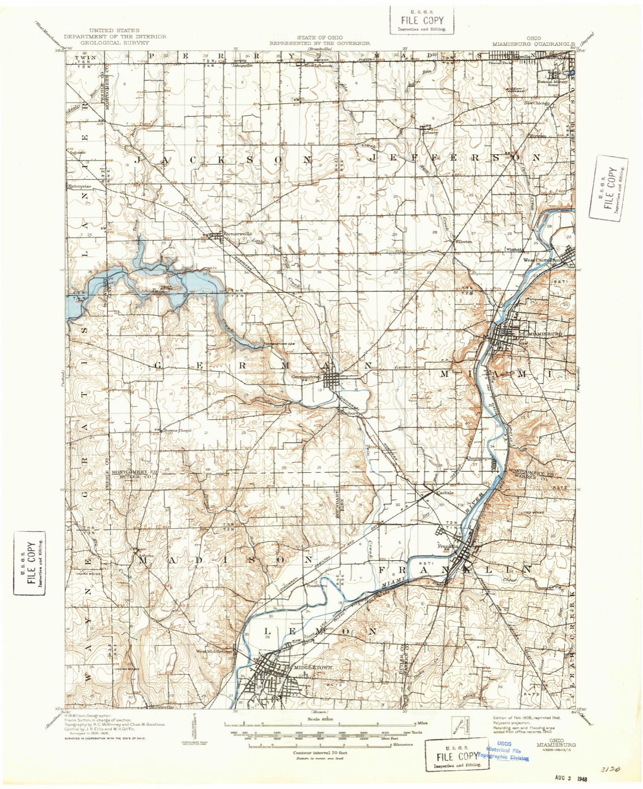
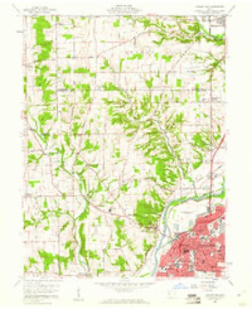
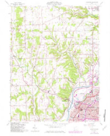
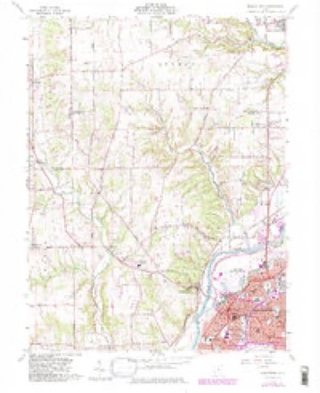
12 topographic sheets cover this place, the earliest surveyed in 1908 and the latest in 1986. It stands in Madison Township. It lies in ZIP code area 45042. The Survey maps it on the Middletown quadrangle.
Then and now
1908 to 1986The same ground, surveyed 78 years apart. Drag the handle to wipe between them. Both sheets are United States Geological Survey originals; neither has been altered.

Topographic sheets covering this place
12 sheetsMatched by testing this settlement's coordinate against the published boundary of every sheet in the United States Geological Survey's historical collection. Each opens the scanned sheet at the Survey.
- 1908 USGS Miamisburg quadrangle1:62500
- 1953 USGS Cincinnati quadrangle1:250000
- 1953 USGS Cincinnati quadrangle1:250000
- 1953 USGS Cincinnati quadrangle1:250000
- 1957 USGS Cincinnati quadrangle1:250000
- 1959 USGS Middletown quadrangle1:24000
- 1959 USGS Middletown quadrangle1:24000
- 1959 USGS Middletown quadrangle1:24000
- 1959 USGS Middletown quadrangle1:24000
- 1959 USGS Middletown quadrangle1:24000
- 1986 USGS Dayton quadrangle1:100000
- 1986 USGS Dayton quadrangle1:100000






In the county-history sources
11,332 words on this townshipA History and Biographical Cyclopædia of Butler County, Ohio : with Illustrations and Sketches of Its Representative Men and Pioneers, published 1882 names this settlement in its chapter on Madison Township. These are the passages that mention it, exactly as the scans read.
Mapison Townsuip was originally a portion of Lemon. It lies on the north border of the county, and is divided from Lemon by the Miami River, which flows from north-east to south-west, and separates the two townships in such a way that the lower part of Madison is very narrow. Nearly the whole distance north of Trenton the hills border on the river; but below the bottom spreads out, and forms a wide alluvial plain. At Middletown the river divides in two parts, the old and the new, the latter increasing in volume year by year, and the former lessening. The bridge across the river here is precarious, and liable to be washed away by the flood at any time. A couple of miles west of the river the hills rise to a great height, and afford beautiful views.
Passage source: A History and Biographical Cyclopædia of Butler County, Ohio : with Illustrations and Sketches of Its Representative Men and Pioneers, published 1882.
David Banker erected a fine mill on the property where the present Mr. Banker now resides, that was long known as Banker's mills, and had at an early day customers from near Richmond, Indiana, and from near Greenville on the north. He continued to reside on this property till his death, which happened on the 25th of January, 1862, at the age of eighty-four. He came into the world the second year of the Revolutionary War, and died in the second year of the great Rebellion. When he first came to Ohio he brought with him, in a large pair of saddle-bags, the metallic part of a set of carpenter's tools, with which to carve out his fortune in this new country, and carried them in that way on horseback
Passage source: A History and Biographical Cyclopædia of Butler County, Ohio : with Illustrations and Sketches of Its Representative Men and Pioneers, published 1882.
Machine-read from a century-old scan, so expect the errors a machine makes: misspelled names, dropped words, stray characters.
Specimens collected near this place
12 of 231 shownRegional context, not property-specific evidence. Museums hold 231 specimens collected within 10 miles of Astoria between 1880 and 1974: 114 Fungi, 101 Animalia, 16 Plantae. 12 distinct Species records are shown. Collected by ?, A. C. Billups, A.R. Gaufin, H.H. Ross and others. Each is a physical object with a catalogue number, and each entry opens the museum's record. This is what was collected and kept, not a survey of what lives here - nothing can be concluded from a species being absent.
| Image | Species | Year | Collected by | Where, as recorded |
|---|---|---|---|---|
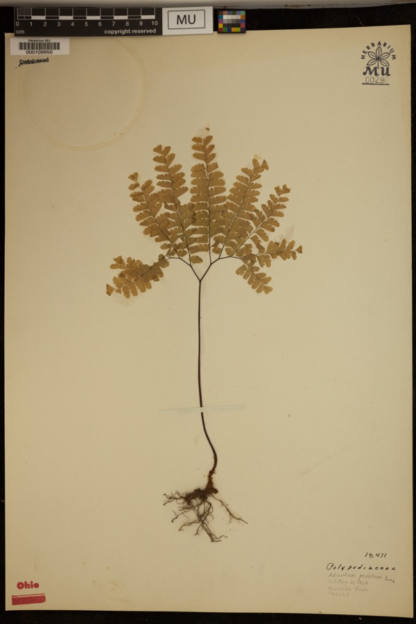 | Adiantum pedatum L. | 1929 | ? | Hueston Woods. |
| Liochlorophis vernalis (Harlan, 1827) | 1880 | not recorded | Monroe | |
 | Storeria dekayi wrightorum Trapido, 1944 | 1880 | not recorded | Monroe |
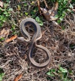 | Thamnophis sirtalis (Linnaeus, 1758) | 1880 | not recorded | Monroe |
 | Physella gyrina (Say, 1821) | 1898 | A. C. Billups | Middletown |
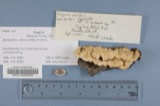 | Polyporus adustus (Willd.) Fr. | 1910 | Overholts L. O. | West Elkton |
| Mycosphaerellaceae | 1914 | Overholts, L. O. | West Elkton | |
| Polyporus biformis Fr. | 1914 | L.O. Overholts | West Elkton | |
| Polyporus durescens Overh. | 1914 | Overholts L. O. | West Elkton | |
| Russula flocculosa Burl. | 1914 | L. O. Overholts | ||
| Stereum bicolor (Pers.) Fr. | 1914 | Overholts L. O. | West Elkton | |
| Clavaria P.Micheli, 1729 | 1917 | Overholts L. O. | West Elkton |
All 231 specimens within 10 miles, at the Global Biodiversity Information Facility.
Mines and quarries near this place
3 within 5 milesRegional context, not property-specific evidence. The federal mineral resources record lists 3 workings within 5 miles of Astoria: 2 past producers, 1 plant. 1 still produces. What was taken out: Sand and Gravel, Construction. Distance is straight-line from the map coordinates, so a quarry counted here may appear on a neighbouring settlement's page as well.
| Where | Site | Commodity | Status | Recorded |
|---|---|---|---|---|
| Middletown Pit | Sand and Gravel, Construction | Past Producer | Sedimentary | |
| Moorman Pit | Sand and Gravel, Construction | Past Producer | Sedimentary | |
| Moorman Pit & Mill | Sand and Gravel, Construction | Plant |
Storms near this place
3 since 2018Regional context, not property-specific evidence. The National Weather Service names Astoria in 3 storm reports between 2018 and 2021: 2 thunderstorm wind, 1 tornado. No death or injury is recorded in these reports. Each account below is quoted exactly as the forecast office filed it, from the NOAA Storm Events Database, and each date opens the federal record of that event.
| When | Event | Place named | Harm | What the report says |
|---|---|---|---|---|
| June 2021 | Thunderstorm Wind | Astoria | $10,000 | Numerous trees were downed in a wooded area along about a 100 foot swath. |
| June 2021 | Tornado (EF0) | Astoria | $10,000 | The tornado initially touched down in Preble County, about 1.6 miles northwest of Browns Chapel at 19:38 EST. The tornado moved southeast, crossing into Butler County at 19:41 EST, about 0.8 miles south southwest of Browns Chapel. The tornado then continued southeast across Elk Creek Road toward No Mans Road where some tree damage was found. In this location the damage was found to be considerably more broad and of lesser intensity, suggesting the tornado was lifting as it moved south along Elk Creek Road and No Mans Road. |
| July 2018 | Thunderstorm Wind | Astoria | $1,000 | A tree was downed. |
Nearest settlements
The eight closest, with where each one stands in the county. Distances are straight-line, computed from the Geographic Names Information System coordinates.
| Map | Place | Distance | Sheets |
|---|---|---|---|
| Jacksonburg | 2.4 miles | 9 | |
| West Middletown | 3.6 miles | 12 | |
| Miltonville | 4.0 miles | 12 | |
| Poast Town | 4.5 miles | 12 | |
| Harlan Park | 4.7 miles | 12 | |
| Poast Town Heights | 4.7 miles | 12 | |
| Middletown | 4.7 miles | 12 | |
| Bon Veue | 5.0 miles | 16 |
Provenance
This settlement is recorded in the Geographic Names Information System as feature 1056206. The sheet list is computed by point-in-boundary test against the United States Geological Survey's historical topographic inventory. Both are works of the United States government and carry no copyright under 17 U.S.C. 105.
Specimens. Global Biodiversity Information Facility (GBIF), https://www.gbif.org/. Only records licensed CC0 or CC BY are used. Records licensed CC BY-NC are excluded because this site carries advertising. Images are checked individually and any whose licence is non-commercial, no-derivatives or unreadable is refused.
Mines and quarries. USGS Mineral Resources Data System (MRDS) https://mrdata.usgs.gov/mrds/ A work of the United States government, no copyright under 17 U.S.C. 105.
Storms. NOAA National Centers for Environmental Information, Storm Events Database https://www.ncei.noaa.gov/stormevents/ A work of the United States government, no copyright under 17 U.S.C. 105. Narratives are quoted verbatim from the National Weather Service report and are not edited or summarised.