 Block
Block
Jacksonburg, Ohio
9 topographic sheets cover this place, the earliest surveyed in 1911 and the latest in 1986. It stands in Wayne Township. It lies in ZIP code area 45067. The Survey maps it on the West Elkton quadrangle. 55 people lived here at the 2020 count. It stands 961 feet above sea level.
Population over time
2 figuresJacksonburg fell from 63 to 55 between 2010 and 2020. These are the recorded population figures Wikidata holds for this place, reached through the Geographic Names Information System number this page is keyed on rather than by name, so they belong to this place and not to another of the same name. Most are census counts, but not all are: an early figure may be a founding or settlement estimate. The change column is computed, and is left blank where more than 20 years separate a figure from the one before it, because a gap that long is not a change between two counts.
| Year | People | Change |
|---|---|---|
| 2010 | 63 | |
| 2020 | 55 | -8 (-13%) |
Then and now
1911 to 1986The same ground, surveyed 75 years apart. Drag the handle to wipe between them. Both sheets are United States Geological Survey originals; neither has been altered.

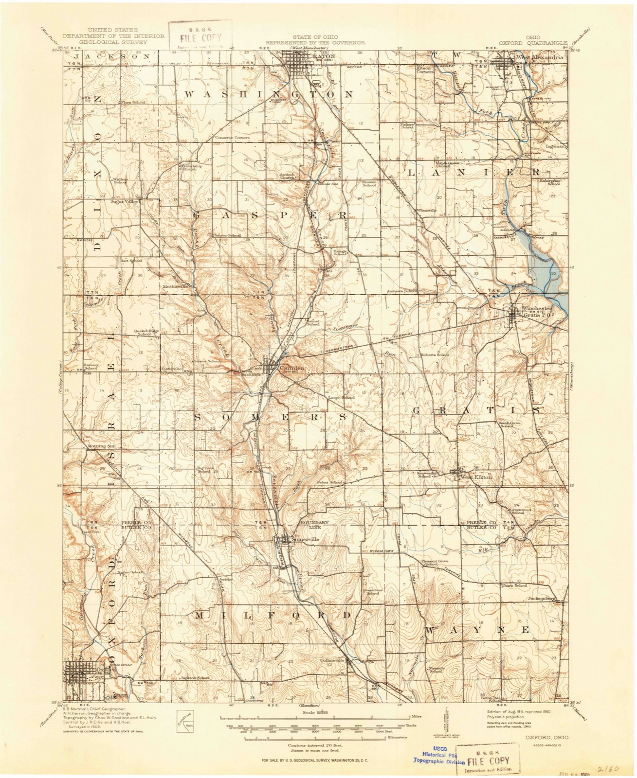
Topographic sheets covering this place
9 sheetsMatched by testing this settlement's coordinate against the published boundary of every sheet in the United States Geological Survey's historical collection. Each opens the scanned sheet at the Survey.
- 1911 USGS Oxford quadrangle1:62500
- 1953 USGS Cincinnati quadrangle1:250000
- 1953 USGS Cincinnati quadrangle1:250000
- 1953 USGS Cincinnati quadrangle1:250000
- 1957 USGS Cincinnati quadrangle1:250000
- 1961 USGS West Elkton quadrangle1:24000
- 1961 USGS West Elkton quadrangle1:24000
- 1986 USGS Dayton quadrangle1:100000
- 1986 USGS Dayton quadrangle1:100000






In the county-history sources
14,699 words on this townshipThe Mound Builders : Being an Account of a Remarkable People That Once Inhabited the Valleys of the Ohio and Mississippi, Together with an Investigation Into the Archæology of Butler County, O., published 1879 names this settlement in its chapter on Wayne Township. These are the passages that mention it, exactly as the scans read.
Two mounds are located on svhat is known as Snively's Hill, section twenty-six. This hill is five hundred and sixty-three feet above the Ohio River at Cincinnati. One is situated on the farm of Henry Snively and the other on the farm of J. Good. The former is in an open field and the latter in the woods. Both are about six feet high. This commanding hill would be of importance to the Mound Builders, for it overlooks tlie broad acres of the Miami on the south, and to the ancient tillers of the soil, in the valley, it would serve for an additional beacon light.
Passage source: The Mound Builders : Being an Account of a Remarkable People That Once Inhabited the Valleys of the Ohio and Mississippi, Together with an Investigation Into the Archæology of Butler County, O., published 1879.
I have indulged in some speculation concerning the mound on the farm of Joseph Henry, section thirty-six. This mound is situated in an open field near the base of the slope of the table-land, or where it joins the second river-terrace. It has been under cultivation during the last fifty years. A great many skeletons have been taken from it and every year the plow turns out others. Forty years ago people would repair to the mound in order to collect stone mortars, cups, ])ottery, and other aboriginal relics. Fragments of burnt limestone may still be seen on the toj). The mound is a rectangle two hundred and twenty-five feet long by one hundred and twenty feet broad, and seven feet high. Its direction is from southeast to northwest.
Passage source: The Mound Builders : Being an Account of a Remarkable People That Once Inhabited the Valleys of the Ohio and Mississippi, Together with an Investigation Into the Archæology of Butler County, O., published 1879.
On first examination I concluded it must be a temple mound, the square corners and perpendicular sides of which had been destroyed by the corroding influence of time and effectually effaced by the white man. To the southeast appeared to be a graded way forty-five feet long, and to the northwest another way fifteen feet long. Upon these measurements I made out the plan as given in Fig. 63. It will be noticed as a matter of curiosity that the length and breadth of the mound, as well as the length of the two graded ways, are divisible by fifteen. It would not necessarily follow that the structure was built on this basis, but is simply a coincidence. U})on reflection it occurred that the graded way at the northwest was simply due to the earth having been thrown out by long continued plowing. Hence this gateway must be only assumption, which consequently led to the construction of the plan as given in Fig. 64. It should be noticed that the mound was not level on top, but convex or rounding. This fact would not conflict with the supposition that it was a temple, for it must be considered that the action of the plow would constantly throw the earth away from the sides, thus leaving the center elevated.
Passage source: The Mound Builders : Being an Account of a Remarkable People That Once Inhabited the Valleys of the Ohio and Mississippi, Together with an Investigation Into the Archæology of Butler County, O., published 1879.
Machine-read from a century-old scan, so expect the errors a machine makes: misspelled names, dropped words, stray characters.
Read the whole chapter on Wayne Township - it names this place 14 more 14 times.
Specimens collected near this place
12 of 320 shownRegional context, not property-specific evidence. Museums hold 320 specimens collected within 10 miles of Jacksonburg between 1835 and 1974: 168 Animalia, 117 Fungi, 35 Plantae. 12 distinct Species records are shown. Collected by ?, A. C. Billups, A.R. Gaufin, H.H. Ross and others. Each is a physical object with a catalogue number, and each entry opens the museum's record. This is what was collected and kept, not a survey of what lives here - nothing can be concluded from a species being absent.
| Image | Species | Year | Collected by | Where, as recorded |
|---|---|---|---|---|
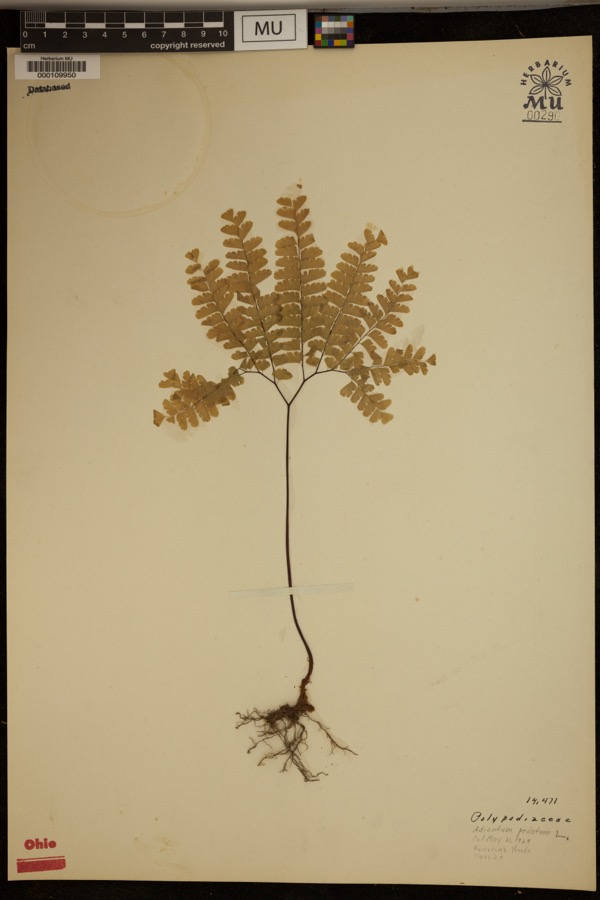 | Adiantum pedatum L. | 1929 | ? | Hueston Woods. |
 | Carex careyana Torr. ex Dewey | 1835 | Collector unknown | In ditione "Miami" civitatis Ohio. |
| Carex convoluta Mack. | 1835 | Collector unspecified | "Miami" | |
 | Carex gracillima Schwein. | 1835 | B. Frank | In ditione "Miami" civitatis Ohio. |
 | Spiza americana (J.F.Gmelin, 1789) | 1879 | Porter, J.B. | |
 | Tringa solitaria A.Wilson, 1813 | 1879 | Porter collection, J.B. | |
 | Charadrius semipalmatus Bonaparte, 1825 | 1880 | not recorded | |
 | Chlidonias niger (Linnaeus, 1758) | 1880 | Porter collection, J.B. | |
| Liochlorophis vernalis (Harlan, 1827) | 1880 | not recorded | Monroe | |
 | Storeria dekayi wrightorum Trapido, 1944 | 1880 | not recorded | Monroe |
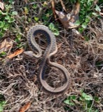 | Thamnophis sirtalis (Linnaeus, 1758) | 1880 | not recorded | Monroe |
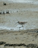 | Tringa melanoleuca (J.F.Gmelin, 1789) | 1880 | Porter collection, J.B. |
All 320 specimens within 10 miles, at the Global Biodiversity Information Facility.
Nearest settlements
The eight closest, with where each one stands in the county. Distances are straight-line, computed from the Geographic Names Information System coordinates.
| Map | Place | Distance | Sheets |
|---|---|---|---|
| Astoria | 2.4 miles | 12 | |
| Miltonville | 3.4 miles | 12 | |
| West Middletown | 4.6 miles | 12 | |
| Trenton | 4.6 miles | 16 | |
| Seven Mile | 4.8 miles | 15 | |
| Busenbark | 5.1 miles | 16 | |
| Bon Veue | 5.4 miles | 16 | |
| North Excello | 5.7 miles | 16 |
Elsewhere
Matched on this settlement's Geographic Names Information System number rather than its name, so it cannot be a different place of the same name in another state.
| Wikipedia article on Jacksonburg | An encyclopaedic summary. Its text is share-alike, so it is linked here rather than copied. |
| Wikidata item Q2424268 | The structured record the population and elevation above come from. Public domain (CC0). |
Provenance
This settlement is recorded in the Geographic Names Information System as feature 1064895. The sheet list is computed by point-in-boundary test against the United States Geological Survey's historical topographic inventory. Both are works of the United States government and carry no copyright under 17 U.S.C. 105.
Specimens. Global Biodiversity Information Facility (GBIF), https://www.gbif.org/. Only records licensed CC0 or CC BY are used. Records licensed CC BY-NC are excluded because this site carries advertising. Images are checked individually and any whose licence is non-commercial, no-derivatives or unreadable is refused.