 Block
Block
West Union, Ohio
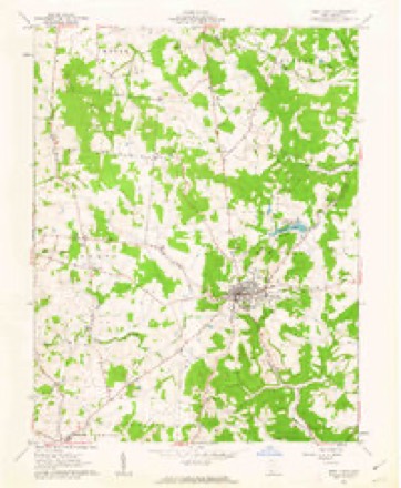
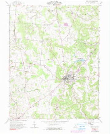
10 topographic sheets cover this place, the earliest surveyed in 1918 and the latest in 1991. It stands in Tiffin Township. It lies in ZIP code area 45693. The Survey maps it on the West Union quadrangle.
Research this city
This curated hub for Adams County, Ohio brings together the page's documented record links, visible map or image evidence where published, and routes to related local records.
What is documented here?
Use the page's provenance and linked records to distinguish the source material from the site's navigation and summaries.
How should I cite it?
Open the original record, preserve its repository and identifier, then use the citation tool for this page as a path back to the source.
Where should I go next?
Follow the county or state hub for related places and records, then use the guide for a source-aware research sequence.
Then and now
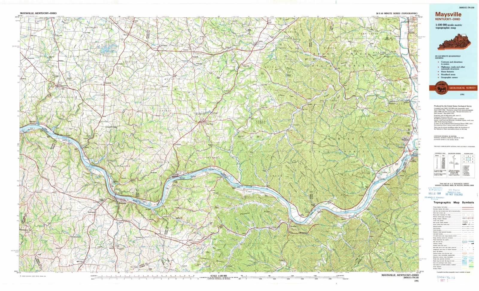
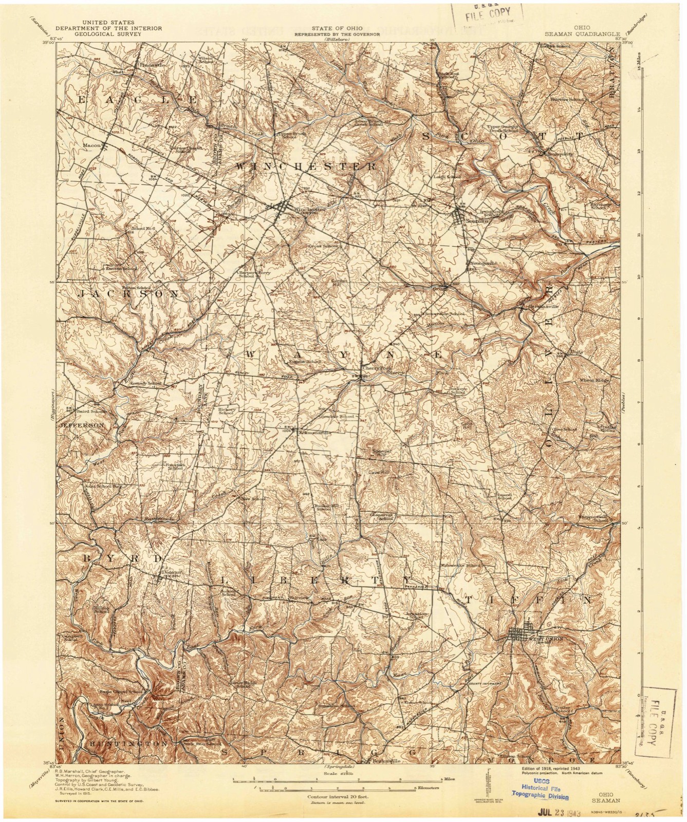
1918 to 1991The same ground, surveyed 73 years apart. Drag the handle to wipe between them. Both sheets are United States Geological Survey originals; neither has been altered.
Topographic sheets covering this place
10 sheetsMatched by testing this settlement's coordinate against the published boundary of every sheet in the United States Geological Survey's historical collection. Each opens the scanned sheet at the Survey.
- 1918 USGS Seaman quadrangle1:62500
- 1957 USGS Huntington quadrangle1:250000
- 1957 USGS Huntington quadrangle1:250000
- 1957 USGS Huntington quadrangle1:250000
- 1960 USGS Huntington quadrangle1:250000
- 1961 USGS West Union quadrangle1:24000
- 1961 USGS West Union quadrangle1:24000
- 1961 USGS West Union quadrangle1:24000
- 1986 USGS Maysville quadrangle1:100000
- 1991 USGS Maysville quadrangle1:100000
In the county-history sources
7,452 words on this townshipHistory of Adams County, Ohio, published 1900 names this settlement in its chapter on Tiffin Township. These are the passages that mention it, exactly as the scans read.
Joseph Eyler built the first cabin in this township where he afterwards made his home near Killinstown, in the winter of 1795. The Eyler farm of 300 acres is now owned by John Crawford, Samuel Mc- Feeters and Sandy Craigmile. When Rev. James B. Fintey passed over Tod's Trace from Limestone to Chillicothe with his father's cattle and "niggers" in 1796, he noted the fact that there was a cabin near where the town of West Union now stands, built by Mr. Oiler, but no one lived in - it. Daniel Collier, about this time, selected a site for his future home on one of the most beautiful terraces along Ohio Brush Creek, known to this day as the "Collier farm." Just below him on the creek was Duncan McKenzie. Andrew Ellison took up his residence on Lick Fork near the old stone house which he built in 1798, where the town of Waterford was laid out. Richard Harrison about the same time located at Waterford and kept a tavern there. John Treber built a cabin in 1796 a half mile further down Lick Fork where the old tavern building yet stands, and Peter Shoemaker, Simon Shoemaker, John Shepherd, and Thomas Davis located near by on Ohio Brush Creek. Job Dinning, John Killin, Jacob Piatt, James Ralston, and Adam Hempleman located in the vicinity of Killinstown. Simon Fields settled further east on Brush Creek. George Harper, James Collins, James January and Robert Mc- Clanahan located near West Union.
Passage source: History of Adams County, Ohio, published 1900.
Ohio Brush Creek, a beautiful little river, forms the northeastern and eastern boundary of the township. Lick Fork is its longest tributary in the township. It rises at a spring near West Union and flows north- east uniting with Ohio Brush Creek at the Sproull bridge. Beasley's Fork also takes its source from a spring in West Union, flows southeast and unites with Ohio Brush Creek opposite the Nathan Foster farm in Greene Township. A branch of the East Fork of Eagle Creek rises in the western part of the township and flows south along its western border.
Passage source: History of Adams County, Ohio, published 1900.
This church is on the West Union and Cedar Mills turnpike, about five miles to the east of West Union, and two miles from the crossing of Ohio Brush Creek. It is built of dressed limestone and is in a very good state of preservation.
Passage source: History of Adams County, Ohio, published 1900.
Machine-read from a century-old scan, so expect the errors a machine makes: misspelled names, dropped words, stray characters.
Read the whole chapter on Tiffin Township - it names this place 37 more 37 times.
Fires near this place
34 since 2003Regional context, not property-specific evidence. The federal wildfire occurrence database lists 34 fires within 5 miles of West Union between 2003 and 2020, burning about 43 acres in total. None started naturally. 12 were recorded as arson. Distance is straight-line from the map coordinates, so a fire counted here may appear on a neighbouring settlement's page as well.
| Reported cause | Fires |
|---|---|
| Debris and open burning | 16 |
| Arson/incendiarism | 12 |
| Missing data/not specified/undetermined | 3 |
| Misuse of fire by a minor | 1 |
| Power generation/transmission/distribution | 1 |
| Smoking | 1 |
The most recent of them, most recent first, with the day each was reported and the service that recorded it.
| Date | Cause | Size | Reported by | Name on the report |
|---|---|---|---|---|
| 10 September 2019 | Debris and open burning | under an acre | Ohio Department of Natural Resources | 15287 |
| 1 July 2017 | Smoking | under an acre | Ohio Department of Natural Resources | 8465 |
| 7 May 2008 | Arson/incendiarism | under an acre | Ohio Department of Natural Resources | not named |
| 1 May 2019 | Missing data/not specified/undetermined | under an acre | Ohio Department of Natural Resources | 15184 |
| 1 May 2008 | Missing data/not specified/undetermined | 1.0 acres | Ohio Department of Natural Resources | not named |
| 9 April 2004 | Arson/incendiarism | 3.0 acres | Ohio Department of Natural Resources | not named |
| 8 April 2004 | Debris and open burning | 1.0 acres | Ohio Department of Natural Resources | not named |
| 8 April 2004 | Arson/incendiarism | 3.0 acres | Ohio Department of Natural Resources | not named |
Settlements close enough to share some of these fires:
Specimens collected near this place
12 of 727 shownRegional context, not property-specific evidence. Museums hold 727 specimens collected within 10 miles of West Union between 1866 and 1975: 407 Animalia, 205 Fungi, 97 Plantae, 18 Protozoa. 12 distinct Species records are shown. Collected by A JOHN, A. B. Seymour, A. Cronquist and others. Each is a physical object with a catalogue number, and each entry opens the museum's record. This is what was collected and kept, not a survey of what lives here - nothing can be concluded from a species being absent.
| Image | Species | Year | Collected by | Where, as recorded |
|---|---|---|---|---|
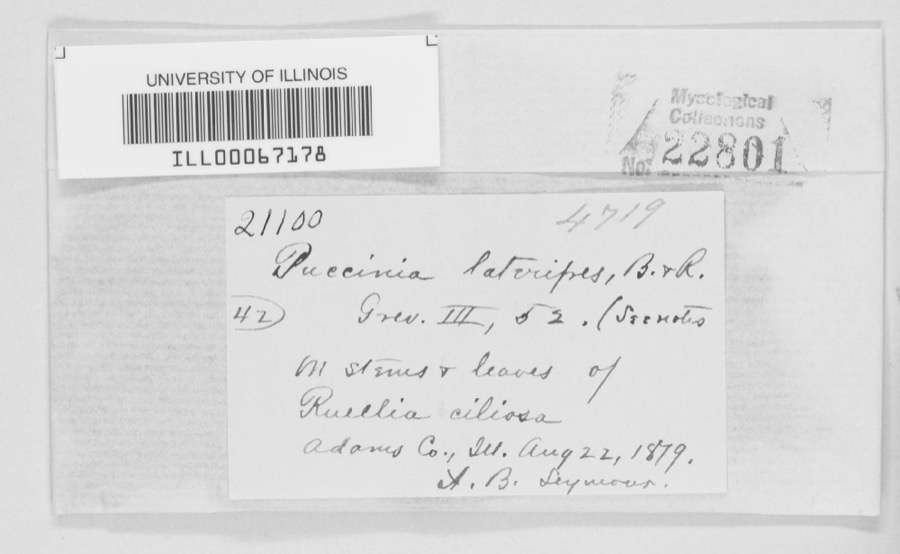 | Puccinia lateripes Berk. & Ravenel | 1879 | A. B. Seymour | Adams County |
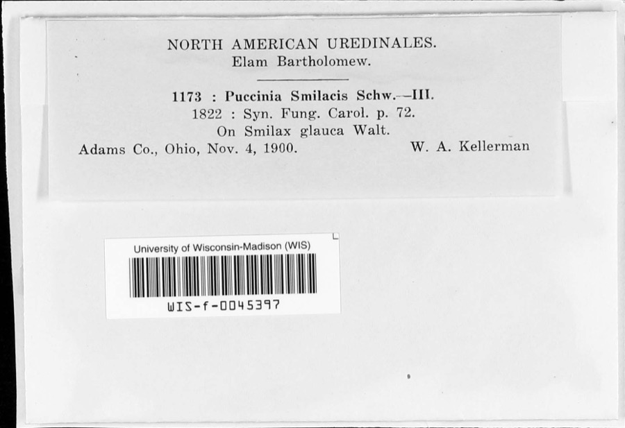 | Puccinia smilacis Schwein. | 1900 | W.A. Kellerman | |
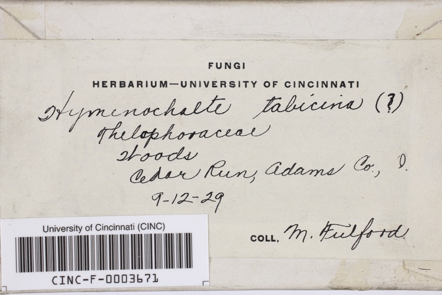 | Hymenochaete tabacina (Sowerby) Lév. | 1929 | Fulford, Margaret H. | Cedar Run |
 | Asplenium ruta-muraria L. | 1866 | C. B. Dyer | |
 | Pleopeltis michauxiana (Weath.) Hickey & Sprunt | 1866 | C. B. Dyer | |
 | Clavaria formosa Pers. | 1913 | Fulford, Margaret H. | Adams County, Ohio |
 | Craterellus Pers. | 1913 | Braun, E. Lucy | Adams County, Ohio |
 | Acroneuria frisoni Stark & Brown, 1991 | 1925 | Clarence H. Kennedy | |
| Scapania undulata (L.) Dumort. | 1925 | E. L. Braun | West tributary of Beech Fork | |
| Crotalus horridus horridus | 1926 | Watters, G. T. (George Thomas) | Green Twp.: Long Lick Run, Adams Co., Ohio | |
 | Alosa chrysochloris (Rafinesque, 1820) | 1927 | Trautman, M. B. (Milton Bernard) | Ohio Brush Creek, within Adams Co, Adams County, township n/a |
 | Asplenium cryptolepis Fernald | 1927 | Braun, E. Lucy | Buzzard's Roost Rock |
All 727 specimens within 10 miles, at the Global Biodiversity Information Facility.
Mines and quarries near this place
1 within 5 milesRegional context, not property-specific evidence. The federal mineral resources record lists 1 working within 5 miles of West Union: 1 producer. All of them still produce. What was taken out: Stone, Crushed/Broken. Distance is straight-line from the map coordinates, so a quarry counted here may appear on a neighbouring settlement's page as well.
| Where | Site | Commodity | Status | Recorded |
|---|---|---|---|---|
| Ohio Quarry | Stone, Crushed/Broken | Producer |
Storms near this place
60 of 70 shownRegional context, not property-specific evidence. The National Weather Service names West Union in 70 storm reports between 1995 and 2025: 32 thunderstorm wind, 15 hail, 11 flash flood, 8 flood. The reports record 1 death and 2 injuries. Each account below is quoted exactly as the forecast office filed it, from the NOAA Storm Events Database, and each date opens the federal record of that event.
| When | Event | Place named | Harm | What the report says |
|---|---|---|---|---|
| March 2012 | Tornado (EF2) | West Union | 1 killed, 2 hurt, $2,000,000 | The tornado touched down just east of Highway 41, about 2 miles northeast of West Union. The tornado then traveled east northeast for just over 11 miles, destroying at least 5 mobile homes. Two homes were also damaged. One of these homes was built of brick. A 99 year old woman was in her mobile home in Tiffin Township when the tornado struck. She was injured from this tornado and passed away several days later. Two others were also injured from this tornado. A dozen cattle were killed and major power transmission poles were knocked over. Numerous trees were snapped or uprooted. Based on the damage surveyed, the maximum estimated wind speed of this tornado was 125 miles per hour. |
| May 2014 | Hail | West Union | $200,000 | Damage occurred to houses and vehicles due to the hail. |
| November 2002 | Tornado (F1) | West Union | $100,000 | A tornado touched down and tracked east along State Route 125. The greatest damaged occurred at a farm where four barns were damaged, one of which was completely destroyed. Two nearby homes and a church sustained minor structural damage. At least three dozen trees were also downed along the path of the tornado. |
| August 1997 | Tornado (F0) | West Union | $100,000 | This thunderstorm had a long line of downbursts which caused damage to numerous trees, some of which fell on a house and a mobile home. Embedded within this path of damage was evidence that a tornado made brief touchdowns. In two different areas, tree damage showed twisting motion indicating that a tornado existed. Also, one home was knocked off its foundation in one of the areas where the tornado touched down. Winds from some of the downburst activity were near 100 mph. |
| May 2014 | Thunderstorm Wind | West Union | $50,000 | Several trees were downed near State Route 125 and Ralston Road due to thunderstorm winds. Numerous trees and power lines were also downed between West Union and Blue Creek. |
| May 1996 | Thunderstorm Wind | West Union | $50,000 | no account filed |
| April 1999 | Thunderstorm Wind | West Union | $30,000 | Damage was noted to several trees as well as a mobile home. |
| August 1999 | Thunderstorm Wind | West Union | $15,000 | Trees and power lines downed. One tree fell on a house causing damage. |
| July 2023 | Thunderstorm Wind | West Union | $10,000 | Several trees and power lines were downed in the West Union area. |
| July 2022 | Thunderstorm Wind | West Union | $10,000 | A pole was snapped in half and wires were downed onto a roadway. |
| May 2014 | Hail | West Union | $10,000 | Siding was damaged and windows were broken on Vaughn Ridge Road due to the hail. |
| July 2012 | Thunderstorm Wind | West Union | $10,000 | Numerous trees were downed from Manchester to West Union due to thunderstorm winds. |
| June 2008 | Thunderstorm Wind | West Union | $10,000 | Several trees were knocked down. One structure sustained roof damage. |
| May 2001 | Flash Flood | West Union | $10,000 | Many roads were flooded and some were closed due to heavy rainfall. |
| August 2000 | Flash Flood | West Union | $10,000 | Heavy rainfall caused a road to be washed out. |
| August 2021 | Thunderstorm Wind | West Union | $8,000 | A few power poles were blown down. |
| April 2025 | Thunderstorm Wind | West Union | $6,000 | Several power poles were downed. |
| May 1995 | Thunderstorm Wind | West Union | $6,000 | Trees were downed, one on an automobile. Warren County Springboro,14,0033EST,,,0,0,0,0,Hail (0.75) |
| May 2024 | Thunderstorm Wind | West Union | $5,000 | Several trees were downed in the West Union area. |
| June 2022 | Thunderstorm Wind | West Union | $5,000 | Several trees were downed. |
| July 2016 | Flash Flood | West Union | $5,000 | Several roads were covered with rushing water across central Adams County. One house had a few feet of water in the basement. |
| June 2010 | Thunderstorm Wind | West Union | $5,000 | A tree fell onto a house. There were also reports of other trees down around the area. |
| January 2008 | Flash Flood | West Union | $5,000 | The Eddies Apartment complex in West Union was evacuated due to rising water. One vehicle was stranded in the high water. |
| June 2008 | Flash Flood | West Union | $5,000 | Several roads were flooded and closed with one to two feet of water rushing over them, including State Route 41 between State Route 136 and Panhandle Road. Numerous streams were out of their banks and overflowing roadways. |
| June 2002 | Thunderstorm Wind | West Union | $5,000 | Several trees were downed across the southern part of the county. |
| February 2000 | Flash Flood | West Union | $5,000 | Heavy rainfall caused State Route 41 southwest of West Union to flood. |
| August 2020 | Thunderstorm Wind | West Union | $4,000 | Numerous trees were reported knocked down. |
| January 2008 | Thunderstorm Wind | West Union | $4,000 | Numerous trees were knocked down, including along old State Route 32 and Mineral Springs Road. |
| June 2020 | Thunderstorm Wind | West Union | $3,000 | Several trees were knocked down and were blocking the intersection of OH-125 between Raiston Rd and Frank Young Rd. |
| July 2018 | Thunderstorm Wind | West Union | $3,000 | A roof to a house was damaged and a billboard along State Route 41 was also damaged. |
| May 2018 | Thunderstorm Wind | West Union | $3,000 | Several trees were downed. |
| May 2010 | Flash Flood | West Union | $3,000 | Flooded roadways were reported throughout the county. |
| July 2007 | Thunderstorm Wind | West Union | $3,000 | Trees were knocked down along Bethany Ridge Road. |
| August 2007 | Thunderstorm Wind | West Union | $3,000 | A few trees were downed. |
| August 2003 | Thunderstorm Wind | West Union | $3,000 | Several trees were downed along State Route 136. |
| October 2001 | Thunderstorm Wind | West Union | $3,000 | Four trees were knocked down in the southern part of the county. |
| June 1998 | Thunderstorm Wind | West Union | $3,000 | Trees and power lines downed. |
| August 1996 | Thunderstorm Wind | West Union | $3,000 | no account filed |
| May 2011 | Flood | West Union | $2,000 | Multiple roads were closed due to water on roads. |
| May 2010 | Thunderstorm Wind | West Union | $2,000 | Numerous trees were reported down due to damaging thunderstorm winds. |
| June 2009 | Thunderstorm Wind | West Union | $2,000 | Several trees were blown down. |
| August 2007 | Hail | West Union | $2,000 | no account filed |
| September 2024 | Thunderstorm Wind | West Union | $1,000 | A tree was downed along Chapparal Road. |
| June 2019 | Thunderstorm Wind | West Union | $1,000 | A tree was knocked down along Old Cincinnati Pike near Wednell Shrivener Road. |
| October 2010 | Thunderstorm Wind | West Union | $1,000 | Large tree limbs were reported down due to damaging thunderstorm winds. |
| May 2022 | Flood | West Union | - | High water was reported on State Route 41, south of West Union. |
| May 2022 | Flood | West Union | - | Water was covering half of an apartment complex parking lot. |
| April 2021 | Flood | West Union | - | Water was flowing across Paige School Road. |
| April 2021 | Flood | West Union | - | Water was reported across State Route 247 near Chapparal Road. |
| August 2021 | Flash Flood | West Union | - | High water was reported on several roadways. |
| February 2019 | Flood | West Union | - | Several roads were closed due to flooding. |
| May 2016 | Flood | West Union | - | One to one and a half feet of water was covering Ohio Route 247 north of West Union. |
| December 2015 | Heavy Rain | West Union | - | Multiple roads were closed across the county due to high water. |
| March 2006 | Flash Flood | West Union | - | Several roads were flooded and closed. |
| March 2006 | Flood | West Union | - | Heavy rain affected south central Ohio during the evening, with some locations receiving over one inch across Adams County. The heavy rain caused some high water over State Route 41 near Bentonville. |
| May 2003 | Flash Flood | West Union | - | Several roads were closed due to high water. Ohio Brush Creek was out of its banks in a couple of spots. |
| May 2003 | Flash Flood | West Union | - | State Route 41 was flooded and impassible. |
| June 1998 | Thunderstorm Wind | West Union | - | Winds gusted to 60 mph. |
| August 2024 | Hail | West Union | - | no account filed |
| July 2023 | Hail | West Union | - | no account filed |
Newspapers printed here
0 digitised pages1 paper published in this town, digitised by the Library of Congress and free to read: 0 issues, 0 pages. Every page is searchable, so a name or a street can be looked for directly in what the town printed about itself at the time.
| Newspaper | Published |
|---|---|
| The People's Defender | 1866 to Current |
What the paper printed
23,865 wordsFront pages of the local paper, read from the Library of Congress scans: 6 issues spread across its run from 1922 to 1943, 23,865 words in total. Each is reproduced on its own page, exactly as the recogniser returned it.
These pages read less well than anything else here, and the number is worth stating: about three words in four come through cleanly, against nine in ten for the building records. An 1896 broadsheet sets eight-point type in seven columns on microfilm, which is the hardest thing in this archive to read by machine. We tested our own recognisers against the Library's and they were not better, so the Library's text is what appears, with the wholly unreadable columns removed. Read it as a guide to what the paper covered, and follow the link to the scan before quoting anything.
| Issue | Paper | Length |
|---|---|---|
| 1922-07-06 | The People's Defender | 3,325 words |
| 1922-08-17 | The People's Defender | 2,496 words |
| 1922-10-05 | The People's Defender | 3,390 words |
| 1922-11-16 | The People's Defender | 5,913 words |
| 1939-09-07 | The People's Defender | 2,929 words |
| 1943-05-27 | The People's Defender | 5,812 words |
Nearest settlements
The eight closest, with where each one stands in the county. Distances are straight-line, computed from the Geographic Names Information System coordinates.
| Map | Place | Distance | Sheets |
|---|---|---|---|
| Panhandle | 3.4 miles | 10 | |
| Whippoorwill | 3.4 miles | 10 | |
| Beasley Fork | 3.4 miles | 14 | |
| Catbird | 4.0 miles | 14 | |
| Bentonville | 4.8 miles | 14 | |
| Fairview | 5.5 miles | 9 | |
| Dunkinsville | 5.8 miles | 12 | |
| Moore (historical) | 6.2 miles | 12 |
Provenance
This settlement is recorded in the Geographic Names Information System as feature 1061755. The sheet list is computed by point-in-boundary test against the United States Geological Survey's historical topographic inventory. Both are works of the United States government and carry no copyright under 17 U.S.C. 105.
Wildfire. Short, Karen C. 2022. Spatial wildfire occurrence data for the United States, 1992-2020 [FPA_FOD_20221014]. 6th Edition. Fort Collins, CO: Forest Service Research Data Archive. https://doi.org/10.2737/RDS-2013-0009.6 Collected with United States Government funding and usable without additional permissions or fees.
Specimens. Global Biodiversity Information Facility (GBIF), https://www.gbif.org/. Only records licensed CC0 or CC BY are used. Records licensed CC BY-NC are excluded because this site carries advertising. Images are checked individually and any whose licence is non-commercial, no-derivatives or unreadable is refused.
Mines and quarries. USGS Mineral Resources Data System (MRDS) https://mrdata.usgs.gov/mrds/ A work of the United States government, no copyright under 17 U.S.C. 105.
Storms. NOAA National Centers for Environmental Information, Storm Events Database https://www.ncei.noaa.gov/stormevents/ A work of the United States government, no copyright under 17 U.S.C. 105. Narratives are quoted verbatim from the National Weather Service report and are not edited or summarised.