 Block
Block
Brennersville, Ohio
8 topographic sheets cover this place, the earliest surveyed in 1953 and the latest in 1986. It stands in Twin Township. It lies in ZIP code area 45320. It stands on Jims Run. The Survey maps it on the Lewisburg quadrangle.
Then and now
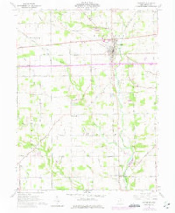
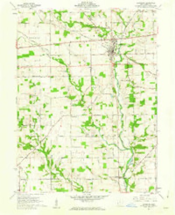
1953 to 1986The same ground, surveyed 33 years apart. Drag the handle to wipe between them. Both sheets are United States Geological Survey originals; neither has been altered.

Topographic sheets covering this place
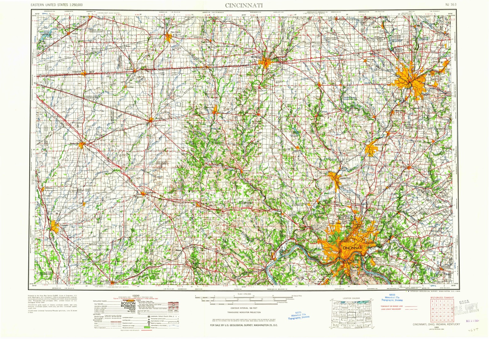
8 sheetsMatched by testing this settlement's coordinate against the published boundary of every sheet in the United States Geological Survey's historical collection. Each opens the scanned sheet at the Survey.
- 1953 USGS Cincinnati quadrangle1:250000
- 1953 USGS Cincinnati quadrangle1:250000
- 1953 USGS Cincinnati quadrangle1:250000
- 1957 USGS Cincinnati quadrangle1:250000
- 1961 USGS Lewisburg quadrangle1:24000
- 1961 USGS Lewisburg quadrangle1:24000
- 1986 USGS Dayton quadrangle1:100000
- 1986 USGS Dayton quadrangle1:100000






In the county-history sources
32,442 words on this townshipHistory of Preble County Ohio, published 1881 names this settlement in its chapter on Twin Township. These are the passages that mention it, exactly as the scans read.
Four principal table lands control the drainage of the township, affording abundant supplies to Twin creek. That in the northwestern part, adjacent to Price's creek, in the vicinity of Brennersville, has a clay ridgy soil, with blue clay or "hard pan" almost touching the surface. The soil is a brown loam, somewhat rocky, but good when plowed. Of necessity this is a beech region, with a sprinkling of smooth bark hickory, and considerable numbers of sugar trees. Most of the gravel of the township is found in this part.
Passage source: History of Preble County Ohio, published 1881.
In general the ridges of the upland country are on the line which distinctly tnarks the junction of the Clinton or yellow limestone with the blue limestone. The blue limestone beneath is impervious to water, and the Clinton stone, just overlapping, is porous, and covered with lines of fracture. Springs of water must, therefore, necessarily appear along the outcrop of the two formations. Investigation shows that springs do appear in this line, especially in the vicinity of Brennersville on Price's creek. On the farm of Jesse Royer, in section seventeen, there is a spring whose copions flow entitles it to the name Mammoth spiing, which gives rise to one of the branches When the proposed railroad was expected to be built through Brennersville the imaginary station received the name of Mammoth Spring. There is but little doubt this is the strongest spring of water in the county. Southeast of this parent spring, on the same farm is found nearly an acre of ground that fairly bubbles over with minor springs, giving source to another branch of Price's creek, and finding its way thither through the stone quarry of J. O. Deem. 'There are numerous other springs in this neighborhood. Beginning at the northwestern corner of the township we find the second mammoth spring on the farm of Jonathan Cotterman, and another one on the farm owned by E. Marker, both in section six. In section eight there are five strong springs - one in thé northwest quarter, three on the farm of Samuel Enoch, and one on Joel Smith's farm, Besides these there are other smaller springs. This line of springs marks a very productive country. Besides the limestone abounding in this region there is considerable sandstone. The sand, it must be understood, however, is lime sand.
Passage source: History of Preble County Ohio, published 1881.
Colonel Robert Quinn is the son of old Robert Quinn, who settled in Twin township. He was born February, 1795. His wife was Sarah Wasson, by whom he has had two children: Joseph W. lives near his father, in Washington township, and Nancy Jane is the wife of D. Chrisman, of Indiana. Everybody knows ** Uncle Bobby" Quinn. He well remembers the "cold Friday" of 180-, which was spent by the Quinn family in open camp. For many years he was an honest tiller of the soil. He also worked at the blacksmith trade. He was an active soldier in the War of 1812. He now resides on the Lexington road just north of Eaton, in Washington township.
Passage source: History of Preble County Ohio, published 1881.
Machine-read from a century-old scan, so expect the errors a machine makes: misspelled names, dropped words, stray characters.
Read the whole chapter on Twin Township - it names this place 5 more 5 times.
Specimens collected near this place
12 of 795 shownRegional context, not property-specific evidence. Museums hold 795 specimens collected within 10 miles of Brennersville between 1896 and 1974: 759 Animalia, 27 Fungi, 9 Plantae. 12 distinct Species records are shown. Collected by A.R. Gaufin, H.H. Ross, Arden R. Gaufin, B. Fink and others. Each is a physical object with a catalogue number, and each entry opens the museum's record. This is what was collected and kept, not a survey of what lives here - nothing can be concluded from a species being absent.
| Image | Species | Year | Collected by | Where, as recorded |
|---|---|---|---|---|
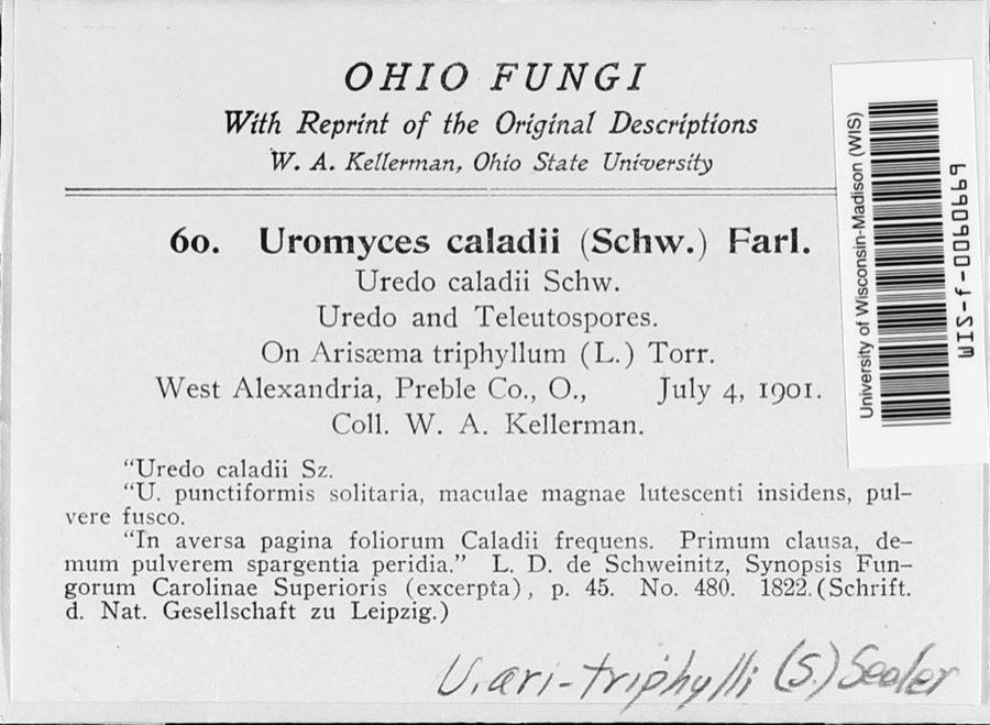 | Uromyces ari-triphylli (Schwein.) Seeler | 1901 | W. A. Kellerman | West Alexandria |
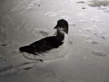 | Uria lomvia lomvia (Linnaeus, 1758) | 1896 | Stewart, R. T. (Robert T.) | Israel Twp, Fairhaven, Preble, Ohio, USA |
 | Phyllosticta Pers., 1818 | 1901 | W. A. Kellerman | |
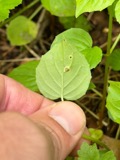 | Puccinia circaeae Pers. | 1901 | W. A. Kellerman | West Alexandria |
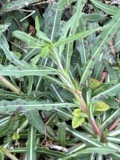 | Septoria oenotherae Westend. | 1901 | W. A. Kellerman | |
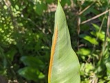 | Uromyces caladii (Schwein.) Farl. | 1901 | W. A. Kellerman | West Alexandria |
 | Porella platyphylla (L.) Pfeiff. | 1910 | Braun, Lucy E. | |
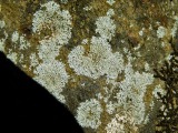 | Physcia subtilis Degelius | 1914 | B. Fink | Eaton |
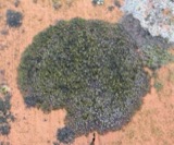 | Scoliciosporum umbrinum (Ach.) Arnold | 1914 | Fink, B. | Eaton |
 | Steccherinum pulcherrimum (Berk. & M.A.Curtis) Banker | 1925 | M.L. Lohman | Eaton |
 | Campostoma anomalum anomalum | 1929 | Trautman, M. B. (Milton Bernard) & Foster, R. (Robert) | Sevenmile Creek, within Gasper township, near Camden, Gasper township |
 | Ericymba buccata Cope, 1865 | 1929 | Trautman, M. B. (Milton Bernard) & Foster, R. (Robert) | Sevenmile Creek, within Gasper township, near Camden, Gasper township |
All 795 specimens within 10 miles, at the Global Biodiversity Information Facility.
Mines and quarries near this place
5 within 5 milesRegional context, not property-specific evidence. The federal mineral resources record lists 5 workings within 5 miles of Brennersville: 3 producers, 2 past producers. 3 still produce. What was taken out: Sand and Gravel, Construction, Stone, Crushed/Broken, Limestone, General. Distance is straight-line from the map coordinates, so a quarry counted here may appear on a neighbouring settlement's page as well.
| Where | Site | Commodity | Status | Recorded |
|---|---|---|---|---|
| Victory Limestone Quarry | Limestone, General | Past Producer | Sedimentary | |
| Lewisburg Quarry | Stone, Crushed/Broken | Producer | ||
| Victory Limestone Quarry | Stone, Crushed/Broken | Producer | ||
| West Alexandria Pit | Sand and Gravel, Construction | Past Producer | Sedimentary | |
| Wysong Gravel West Alexandria Pit | Sand and Gravel, Construction | Producer |
Nearest settlements
The eight closest, with where each one stands in the county. Distances are straight-line, computed from the Geographic Names Information System coordinates.
| Map | Place | Distance | Sheets |
|---|---|---|---|
| Oklahoma (historical) | 3.2 miles | 8 | |
| Lewisburg | 3.6 miles | 8 | |
| New Lexington | 3.7 miles | 8 | |
| Ransom | 4.0 miles | 10 | |
| Sampleville | 4.1 miles | 10 | |
| Euphemia | 4.1 miles | 8 | |
| West Alexandria | 4.6 miles | 10 | |
| Eaton | 5.1 miles | 11 |
Provenance
This settlement is recorded in the Geographic Names Information System as feature 1062660. The sheet list is computed by point-in-boundary test against the United States Geological Survey's historical topographic inventory. Both are works of the United States government and carry no copyright under 17 U.S.C. 105.
Specimens. Global Biodiversity Information Facility (GBIF), https://www.gbif.org/. Only records licensed CC0 or CC BY are used. Records licensed CC BY-NC are excluded because this site carries advertising. Images are checked individually and any whose licence is non-commercial, no-derivatives or unreadable is refused.
Mines and quarries. USGS Mineral Resources Data System (MRDS) https://mrdata.usgs.gov/mrds/ A work of the United States government, no copyright under 17 U.S.C. 105.