BlockBefore
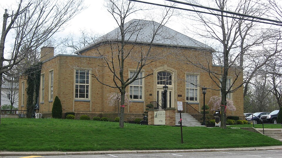
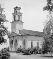
Photograph of Chardon Post Office Building
Photograph by Nyttend, Public domain. Via Wikimedia Commons.

Chardon Post Office Building

Listed on the National Register of Historic Places in 2008. A historic map-sheet match is not published yet. The record needs a coordinate-quality review before it can be joined to a sheet boundary.

From the record

“Other trials afterwards occurred, where the prisoners at the bar were charged with crimes incurring the death penalty, and a brief narration of some of their most noteworthy features will now be given. At a term of the court of common pleas begun ^nd held at Chardon, on the nineteenth day of September, 1831, before the Hon.”

Pioneer and General History of Geauga County, with Sketches of Some of the Pioneers and Prominent Men (1880). Machine-read text.

one of 11 National Register listings in Geauga County · listed in 2008 · category: Building.

Sources: the county history on the Internet Archive · the case file at the National Archives · the National Register database, National Park Service

The listing

  • What is counted as historic. The nomination lists 1 building as contributing to the listing.
  • Address. 121 South St., Chardon, 44024
  • When was it listed? 2008-02-28
  • Category. building
  • Township. Chardon city
  • National Register reference number. 08000114 - the number the National Park Service assigned this property when it was listed, and the key its nomination file is catalogued under at the National Archives.

The ground it stands on

53,440 words

The chapter on Chardon Township in Pioneer and General History of Geauga County, with Sketches of Some of the Pioneers and Prominent Men, published 1880 names Chardon. This is what it says, exactly as the scans read.

Geographically, the township of Chardon is known as number nine, in the eighth range of townships of the Western Reserve. It is bounded on the north by Concord, Lake county, east by Hambden, south by Munson, and west by Kirtland, Lake county. The village of Chardon, the county seat of Geauga county, is situated upon a most pleasant, healthful and sightly elevation, near the southeast corner of the township, about four miles distant from the county line on the north, and four and one-half miles on thp west. That old and popular summer resort, the Little Mountain, is in the northwest corner of the township, and its new and delightful rival, "Bass Lake," (formerly Munson pond,) is about three miles distant from the court house by road, in a south-westerly direction.

Passage source: Pioneer and General History of Geauga County, with Sketches of Some of the Pioneers and Prominent Men, published 1880.

The pioneer history of Chardon, so far as furnished for this volume, is mostly embraced in a series of articles written by Mr. E. V. Canfield, and published in the Geauga Democrat (now Republican ), in 1870-71. These are given below, with such notes and corrections as are necessary to show what deaths, changes of residence, etc., have since occurred. -

Passage source: Pioneer and General History of Geauga County, with Sketches of Some of the Pioneers and Prominent Men, published 1880.

Machine-read from a century-old scan, so expect the errors a machine makes: misspelled names, dropped words, stray characters.

Read the whole chapter on Chardon Township - 53,440 words on its settlement, mills, schools and churches.

Specimens collected near this property

12 of 2,921 shown

Regional context, not property-specific evidence. Museums hold 2,921 specimens collected within 10 miles of Chardon Post Office Building between 1887 and 1975: 2,794 Animalia, 111 Plantae, 14 Fungi, 1 Chromista, 1 Unrecorded. 12 distinct Species records are shown. Collected by A. F. Clewell, A.E. Daugherty, Aldritch, J W and others. Each is a physical object with a catalogue number, and each entry opens the museum's record. This is what was collected and kept, not a survey of what lives here - nothing can be concluded from a species being absent.

Image SpeciesYear Collected by Where, as recorded
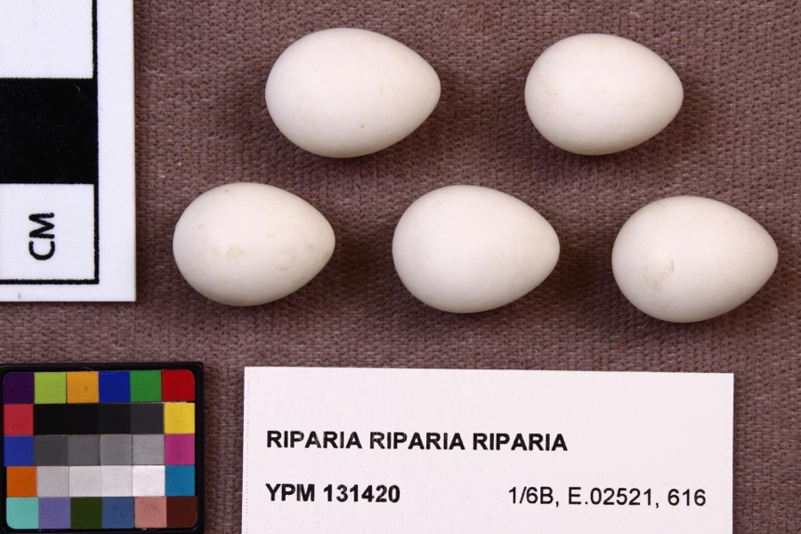
Specimen of Riparia riparia riparia (Linnaeus, 1758)Riparia riparia riparia (Linnaeus, 1758)1891Fred Haggart
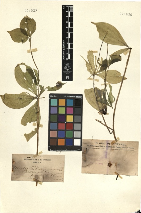
Specimen of Medeola virginiana L.Medeola virginiana L.1895Watson,J.R. s.n. [1895-06-30][label: Herbarium of J.R. Watson, Berea, O.] Geauga Co. [County]
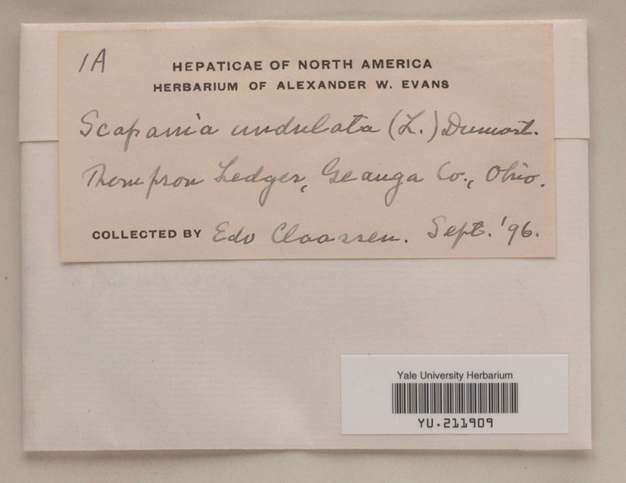
Specimen of Scapania undulata (L.) Dumort.Scapania undulata (L.) Dumort.1896Edo N. ClaassenThompson Ledges
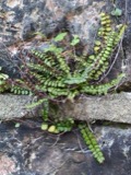
A photograph of the species Asplenium trichomanes, not of this specimenAsplenium trichomanes L.1887Leonard, F.E.Little Mountain.
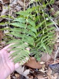
A photograph of the species Dryopteris marginalis, not of this specimenDryopteris marginalis (L.) A.Gray1887Leonard, F.E.Munson
A photograph of the species Melospiza georgiana, not of this specimenMelospiza georgiana (Latham, 1790)1889Collector(s): F. S. HaggartNo specific locality recorded.
A photograph of the species Cypripedium reginae, not of this specimenCypripedium reginae Walter1896J. R. WatsonGeauga
A photograph of the species Stachys cordata, not of this specimenStachys cordata Riddell1896Guttenberg, G.Burton
A photograph of the species Accipiter cooperii, not of this specimenAccipiter cooperii (Bonaparte, 1828)1897Ray DensmoreLeroy
A photograph of the species Butorides virescens, not of this specimenButorides virescens virescens (Linnaeus, 1758)1897Ray DensmoreLeroy, Grand River, swamp
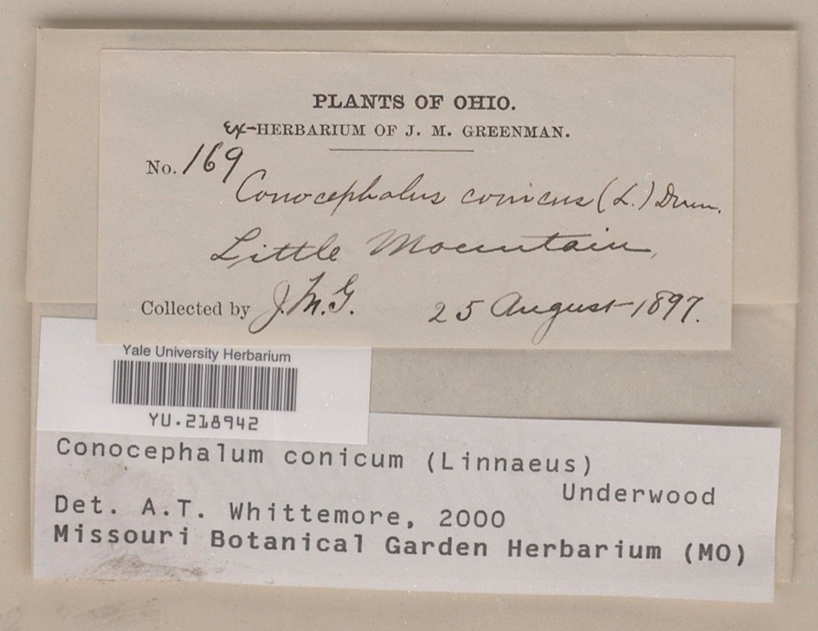
Specimen of Conocephalum conicum (L.) Underw.Conocephalum conicum (L.) Underw.1897Jesse M. GreenmanLittle Mountain
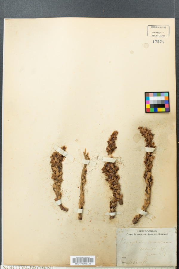
Specimen of Conopholis americana (L.) Wallr.Conopholis americana (L.) Wallr.1897AshcroftMentor

All 2,921 specimens within 10 miles, at the Global Biodiversity Information Facility.

Mines and quarries near this property

3 within 5 miles

Regional context, not property-specific evidence. The federal mineral resources record lists 3 workings within 5 miles of Chardon Post Office Building: 1 past producer, 1 plant, 1 producer. 2 still produce. What was taken out: Stone, Crushed/Broken. Distance is straight-line from the map coordinates, so a quarry counted here may appear on a neighbouring settlement's page as well.

Where SiteCommodity StatusRecorded
Best Sand CorporationStone, Crushed/BrokenPlant
Best Strip QuarryStone, Crushed/BrokenPast ProducerSedimentary
Hambden QuarryStone, Crushed/BrokenProducer

Every working recorded in Geauga County

Storms near this property

60 of 72 shown

Regional context, not property-specific evidence. The National Weather Service names Chardon, the town this property stands in, in 72 storm reports between 1996 and 2026: 46 thunderstorm wind, 23 hail, 2 flash flood, 1 lightning. No death or injury is recorded in these reports. Each account below is quoted exactly as the forecast office filed it, from the NOAA Storm Events Database, and each date opens the federal record of that event.

WhenEvent Place namedHarm What the report says
May 2010Flash FloodChardon$4,500,000Slow moving thunderstorms dumped locally heavy rainfall on portions of Lake, Geauga and Cuyahoga Counties. Rainfall rates of between two and three inches per hour caused flash flooding. The worst flooding occurred in Chester Township in northwestern Geauga County. An automated rain gauge just east of Chesterland measured 3.62 inches of rain with most of this rainfall falling between noon and 1:30 pm. Flooding along several streams and small rivers was reported in Chester Township. Extensive flooding was reported in a neighborhood just southwest of the intersection of U.S. Route 322 and State Route 306. Homes along Marilyn Drive and Wyandot Road had up to two feet of water on their ground floors. Several people had to be rescued from their homes. A large portion of the downtown business district in Chesterland saw flood waters at least two feet deep. Extensive damage was reported to most of the businesses. Portions of U.S Route 322 and State Route 306 were washed out. Damage was also reported to several other state routes in the area. Significant flooding was also reported along County Line Road in Chagrin Falls. Dozens of streets had to be briefly closed because of flooding. An 18 year old had to be rescued from the Chagrin River in Russell Township. Flood waters reportedly toppled many trees along the river near where rescue occurred. The West Geauga School District had to cancel classes on June 1st because of flood damage. Hundreds of homes sustained flood damages during this event. Most of the damage was from basement flooding, but a few dozen buildings and homes did sustain major damage.
May 2011HailChardon$100,000Thunderstorms produced a swath of quarter to golf ball sized hail. Numerous vehicles were damaged by hail. Homes and crops were also damaged as a result of the large hail.
May 2011HailChardon$100,000Thunderstorms produced a swath of hail ranging in size from penny to half dollar to golf ball. Numerous vehicles and homes were damaged by the large hail. Crops were also damaged as a result of the hail.
July 1999Thunderstorm WindChardon$50,000Many trees downed across the central portion of the county. Twenty four trees were reported down in Chardon with three homes sustaining minor damage from falling trees. One car was also damaged by a falling tree in Chardon.
June 2014Thunderstorm WindChardon$40,000Thunderstorm winds caused damaged in Munson Township. Several trees were snapped about 20 feet above the ground. Some roofs in the area were also damaged.
November 2002Thunderstorm WindChardon$35,000Thunderstorm winds downed many trees and large limbs northeast of Chardon in Hambden Township.
November 2013Thunderstorm WindChardon$25,000Thunderstorm winds downed several trees in Chardon Township. State Route 87 was blocked by some of the fallen trees.
August 2009Thunderstorm WindChardon$25,000Trees and utility lines were reported down throughout the county.
August 2023Thunderstorm WindChardon$20,000Downed tree punctured roof of home in Chardon.
July 2013Thunderstorm WindChardon$15,000Thunderstorm winds downed several trees across the county.
June 2000Thunderstorm WindChardon$15,000Thunderstorm winds downed 10 healthy trees in Chardon.
June 2015Thunderstorm WindChardon$10,000Law enforcement reported several trees down from thunderstorm winds in northern Geauga County with some trees down on Route 6 and Chardon-Windsor.
September 2010Thunderstorm WindChardon$10,000Thunderstorm winds downed numerous large trees and powerlines near State Route 608 and Brakeman Road.
July 2008Thunderstorm WindChardon$10,000Thunderstorm winds downed several trees.
July 2005Thunderstorm WindChardon$10,000Several trees were reported down.
October 2000Thunderstorm WindChardon$10,000Thunderstorm winds downed many trees.
December 2008Thunderstorm WindChardon$6,000Several trees were reported down throughout the county.
September 2003Thunderstorm WindChardon$6,000Thunderstorm winds downed three trees.
July 2019Thunderstorm WindChardon$5,000A tree fell onto a house causing damaging.
August 2009Thunderstorm WindChardon$5,000Several large limbs were reported down across the county.
June 2000Thunderstorm WindChardon$5,000Thunderstorm winds downed a few trees and large limbs.
September 1999Thunderstorm WindChardon$5,000Two trees downed just north of Chardon.
June 2020Thunderstorm WindChardon$4,000Chardon Fire Department reports trees and wires down across the city. Locations impacted include: US Route 6 at Auburn Road, Irma Drive, and Battles Court.
July 2008Thunderstorm WindChardon$3,000Thunderstorm winds downed two trees.
August 2008Thunderstorm WindChardon$3,000Several large trees were reported down.
October 2003Thunderstorm WindChardon$3,000Thunderstorm winds downed one tree and one large limb in Chardon Township.
May 1998Thunderstorm WindChardon$3,000Trees were downed.
July 2019Thunderstorm WindChardon$2,000A tree fell onto a garage.
March 2017Thunderstorm WindChardon$2,000Thunderstorm winds downed a tree near Chardon and a second near South Russell.
September 2005Thunderstorm WindChardon$2,000A few large limbs were reported down.
August 1999Thunderstorm WindChardon$2,000A tree and a large limb were downed just south of Chardon.
July 2022Thunderstorm WindChardon$1,500Tree downed onto car at 309 North Hambden Street in Chardon. Driver was not injured.
September 2018Thunderstorm WindChardon$1,000Thunderstorm winds downed a tree.
January 2012Thunderstorm WindChardon$1,000Thunderstorm winds downed several large tree limbs.
April 2011Thunderstorm WindChardon$1,000Thunderstorm winds downed a few large trees.
April 2011HailChardon$1,000Thunderstorms produced pea sized hail.
July 2010Thunderstorm WindChardon$1,000Thunderstorm winds downed several large tree branches.
August 1996LightningChardon$1,000no account filed
March 2026Thunderstorm WindChardon-Healthy tree snapped at the intersection of Mentor Road and OH Route 44 on the northwest side of Chardon.
March 2023Thunderstorm WindChardon-Trees downed at St. Denis Golf Course and power pole downed at intersection of Chardon and Auburn Roads on west side of Chardon.
March 2023Thunderstorm WindChardon-Numerous trees downed about one-mile SSW of Chardon.
April 2023Thunderstorm WindChardon-Large tree was downed and caused collapse of power pole in Chardon.
April 2022Thunderstorm WindChardon-Tree downed along South Street in Chardon and another tree downed in Montville.
June 2021Thunderstorm WindChardon-Trees down at U.S. Route 6 and Calico Lane in Chardon.
June 2021Thunderstorm WindChardon-Numerous trees down at Ravenna Road and Wintergreen Drive in Chardon. One tree fell onto house.
July 2020Thunderstorm WindChardon-Tree down onto power lines in Chardon. Another tree down at 11291 Claridon Troy Road in Aquilla. Yet another tree down on house along Kile Road in Hambden Township. House suffered a hole in its roof.
November 2020Thunderstorm WindChardon-Large tree down and blocking roadway at Ravenna and Hosford Roads in Chardon area.
November 2020Thunderstorm WindChardon-Trees down across roadway at OH-44 and Clark Road about four miles NNW of Chardon.
November 2020Thunderstorm WindChardon-Power poles down at South Street and Randall Court in Chardon.
January 2019HailChardon-Penny-sized hail was reported northwest of Chardon. This report was via a photo on social media.
July 2019Thunderstorm WindChardon-A large tree was reported blown down.
May 2013HailChardon-Quarter sized hail was observed.
May 2012HailChardon-Penny sized hail was observed.
June 2011HailChardon-Penny sized hail was observed.
August 2011HailChardon-Nickel to quarter sized hail was observed.
August 2011HailChardon-Penny sized hail was observed.
May 2011HailChardon-Thunderstorms produced nickel size hail.
May 2010HailChardon-Quarter sized hail was observed.
May 2006HailChardon-Penny size hail was observed.

Every storm recorded in Geauga County

Newspapers printed here

0 digitised pages

3 papers published in this town, digitised by the Library of Congress and free to read: 0 issues, 0 pages. Every page is searchable, so a name or a street can be looked for directly in what the town printed about itself at the time.

NewspaperPublished
The Jeffersonian Democrat1854 to 1865
The Geauga Republican-Record1922 to 1952
Geauga Record1952 to 1962

Map coverage status

No historic map-sheet match is published for this property yet. That does not mean no map exists. This record needs a coordinate-quality review before it can be joined to a sheet boundary. Browse the county's mapped places while that work is pending.

From the nomination file

5,928 words on record

When this property was proposed for the National Register, someone wrote the case for it: what the building is, and why it matters. That document is a federal record in the public domain. It is quoted below word for word, never summarised. The text was read off the scanned case file by machine, so the occasional stray character is the recogniser's and the 1970s typewriter's.

Statement of significance

Areas of Significance (Mark "x" in one or more boxes for the criteria qualifying the property for National Register listing) A Property is associated with events that have made a significant contribution to the broad patterns of B Property is associated with the lives of persons significant in our past. x C Property embodies the distinctive characteristics of a type,period, or method of construction or represents the work of a master, or possesses high artistic values, or represents a significant Period of Significance lack individual distinction. - D Property has yielded, or is likely to yield information important in prehistory or history.

April 1, 1941 (Mark "X" in all the boxes that apply.) -A owned by a religious institution or used for religious purposes (Complete if Criterion B is marked above) - B removed from its original location. - C a birthplace or a grave. - D a cemetery. - E a reconstructed building, object,or structure. - F a commemorative property. -G less than 50years of age or achieved significance within the past 50 years. Taylor-Davis, Inc. Federal Works Agency/Public Buildings 9.

The whole case file for this property - 5,928 words, 43 pages, reproduced complete.

Quoted from the National Register nomination for reference 08000114, 43 pages, held by the National Archives in Record Group 79. See the catalogue record.

Listed places nearby

5 within 8 miles

Other National Register properties close enough to walk or drive between, ordered by distance from this one. Both positions come from the same geocoding pass that matched these properties to their map sheets.

Photograph PropertyDistance Listed
Chardon Courthouse Square District0.1 miles1974
Claridon Congregational Church4.8 miles1974
Hathaway, Lot, House5.4 miles1974
Domestic Arts Hall And Flower Hall7.8 miles1979
Goodwin, Dr. Erastus, House7.9 miles1975

Sources for this property

National Archives recordThe nomination case file for reference 08000114 in Record Group 79.
Geauga CountyAll 11 listed properties in this county.

Provenance

  • Listing record. National Park Service National Register of Historic Places, listed-properties dataset, current to 2026-05-22.
  • Map join. Address geocoded through the United States Census geocoder, then tested against the published boundary of every sheet in the USGS Historical Topographic Map Collection.
  • How this page is made. Listing fields come from federal records; map-sheet coverage is a labelled coordinate-to-boundary calculation, not a source-field claim.
  • Specimens. Global Biodiversity Information Facility (GBIF), https://www.gbif.org/. Only records licensed CC0 or CC BY are used. Records licensed CC BY-NC are excluded because this site carries advertising. Images are checked individually and any whose licence is non-commercial, no-derivatives or unreadable is refused.
  • Mines and quarries. USGS Mineral Resources Data System (MRDS) https://mrdata.usgs.gov/mrds/ A work of the United States government, no copyright under 17 U.S.C. 105.
  • Storms. NOAA National Centers for Environmental Information, Storm Events Database https://www.ncei.noaa.gov/stormevents/ A work of the United States government, no copyright under 17 U.S.C. 105. Narratives are quoted verbatim from the National Weather Service report and are not edited or summarised.