 Block
Block
Gallipolis, Ohio
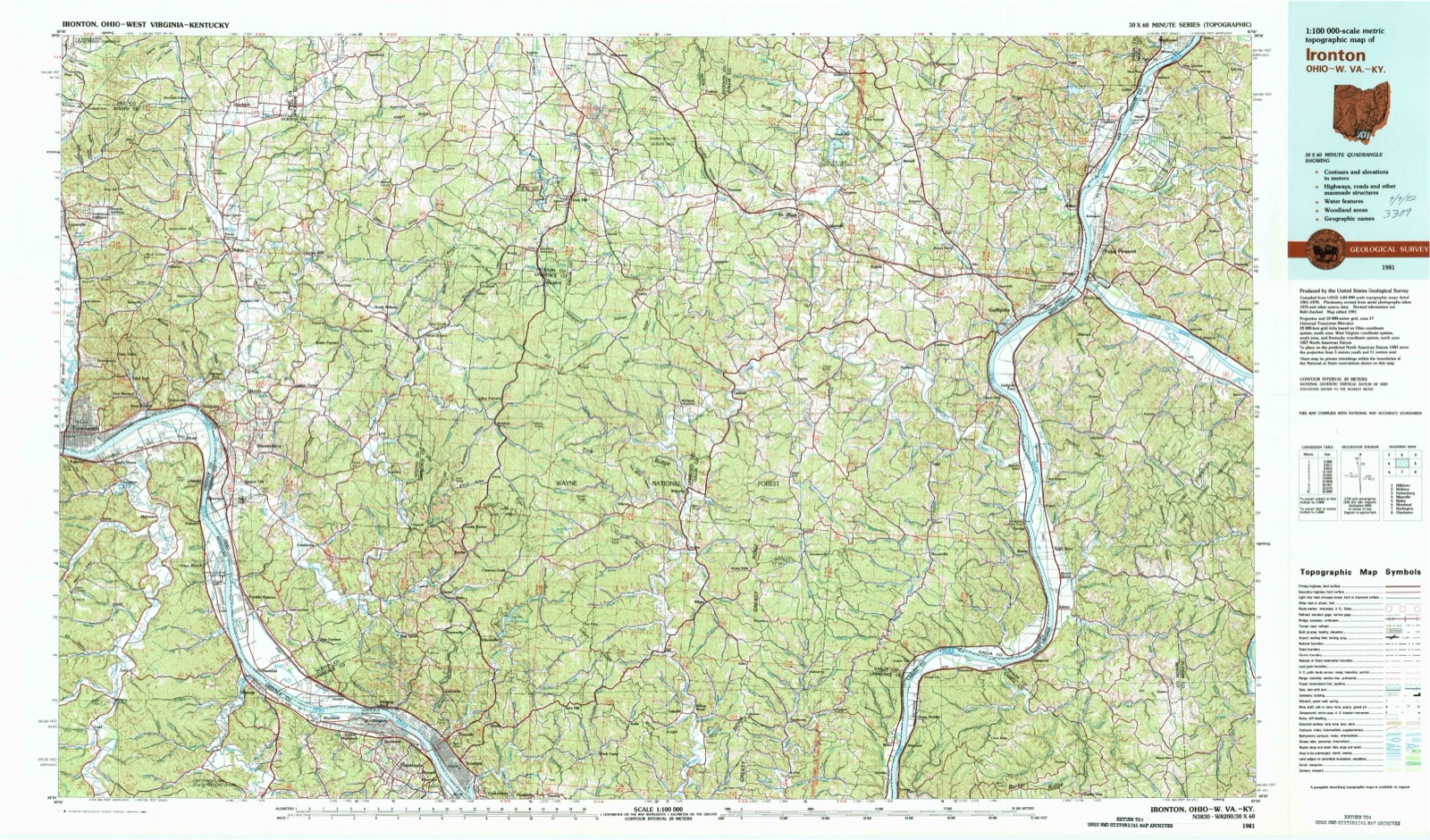
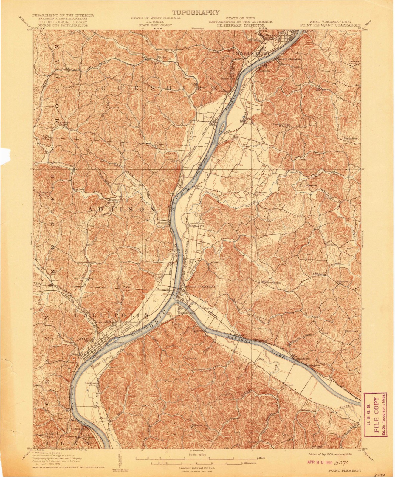
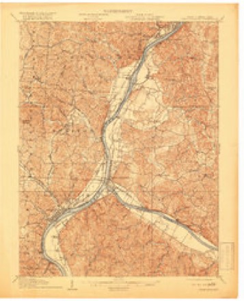
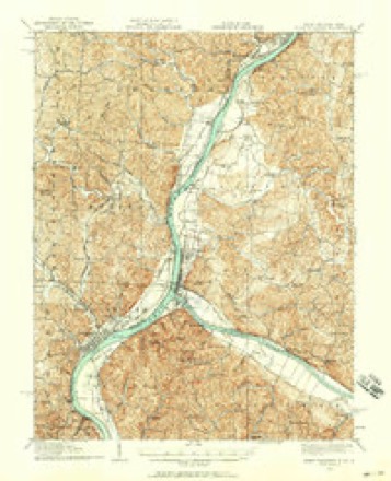
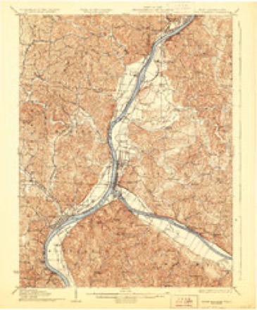
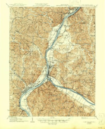
16 topographic sheets cover this place, the earliest surveyed in 1908 and the latest in 1981. It stands in Gallipolis Township. It lies in ZIP code area 45631. It stands on Paint Creek. The Survey maps it on the Gallipolis quadrangle. 3,313 people lived here at the 2020 count. It stands 574 feet above sea level.
Research this city
This curated hub for Gallia County, Ohio brings together the page's documented record links, visible map or image evidence where published, and routes to related local records.
What is documented here?
Use the page's provenance and linked records to distinguish the source material from the site's navigation and summaries.
How should I cite it?
Open the original record, preserve its repository and identifier, then use the citation tool for this page as a path back to the source.
Where should I go next?
Follow the county or state hub for related places and records, then use the guide for a source-aware research sequence.
Population over time
3 figuresGallipolis fell from 3,641 to 3,313 between 2010 and 2020. These are the recorded population figures Wikidata holds for this place, reached through the Geographic Names Information System number this page is keyed on rather than by name, so they belong to this place and not to another of the same name. Most are census counts, but not all are: an early figure may be a founding or settlement estimate. The change column is computed, and is left blank where more than 20 years separate a figure from the one before it, because a gap that long is not a change between two counts.
| Year | People | Change |
|---|---|---|
| 2010 | 3,641 | |
| 2019 | 3,556 | -85 (-2%) |
| 2020 | 3,313 | -243 (-7%) |
Then and now
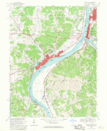
1908 to 1981The same ground, surveyed 73 years apart. Drag the handle to wipe between them. Both sheets are United States Geological Survey originals; neither has been altered.
Topographic sheets covering this place
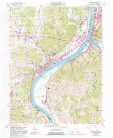
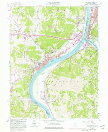
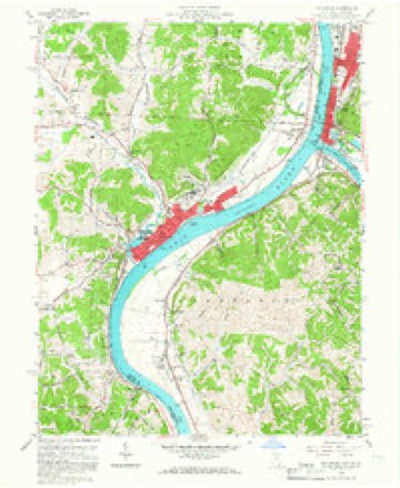
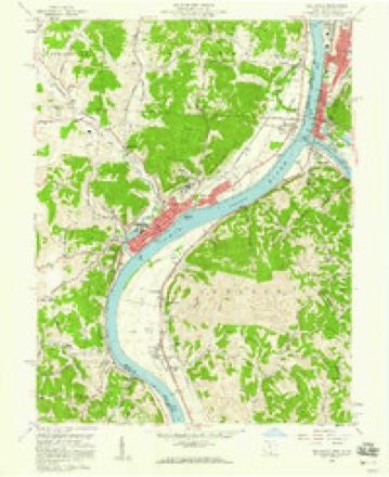
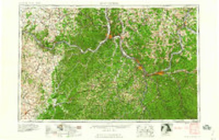
16 sheetsMatched by testing this settlement's coordinate against the published boundary of every sheet in the United States Geological Survey's historical collection. Each opens the scanned sheet at the Survey.
- 1908 USGS Point Pleasant quadrangle1:62500
- 1908 USGS Point Pleasant quadrangle1:62500
- 1908 USGS Point Pleasant quadrangle1:62500
- 1926 USGS Point Pleasant quadrangle1:62500
- 1929 USGS Point Pleasant quadrangle1:62500
- 1929 USGS Point Pleasant quadrangle1:62500
- 1957 USGS Huntington quadrangle1:250000
- 1957 USGS Huntington quadrangle1:250000
- 1957 USGS Huntington quadrangle1:250000
- 1958 USGS Gallipolis quadrangle1:24000
- 1958 USGS Gallipolis quadrangle1:24000
- 1958 USGS Gallipolis quadrangle1:24000
- 1958 USGS Gallipolis quadrangle1:24000
- 1960 USGS Huntington quadrangle1:250000
- 1968 USGS Gallipolis quadrangle1:24000
- 1981 USGS Ironton quadrangle1:100000
Photographs
8 photographs, 1943Taken for the Office of War Information and the Farm Security Administration, who photographed the country between 1935 and 1944. Works of United States government photographers, with no known restriction on use. Each opens its catalogue record.
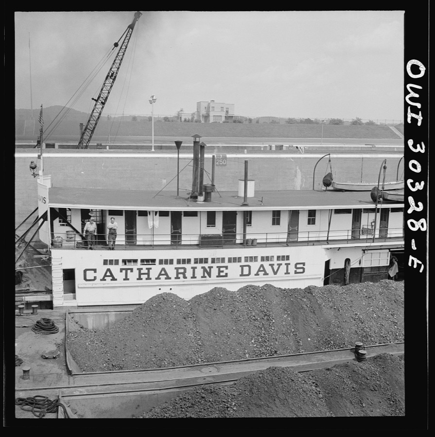
Siegel, Arthur S., photographer, 1943. Library of Congress
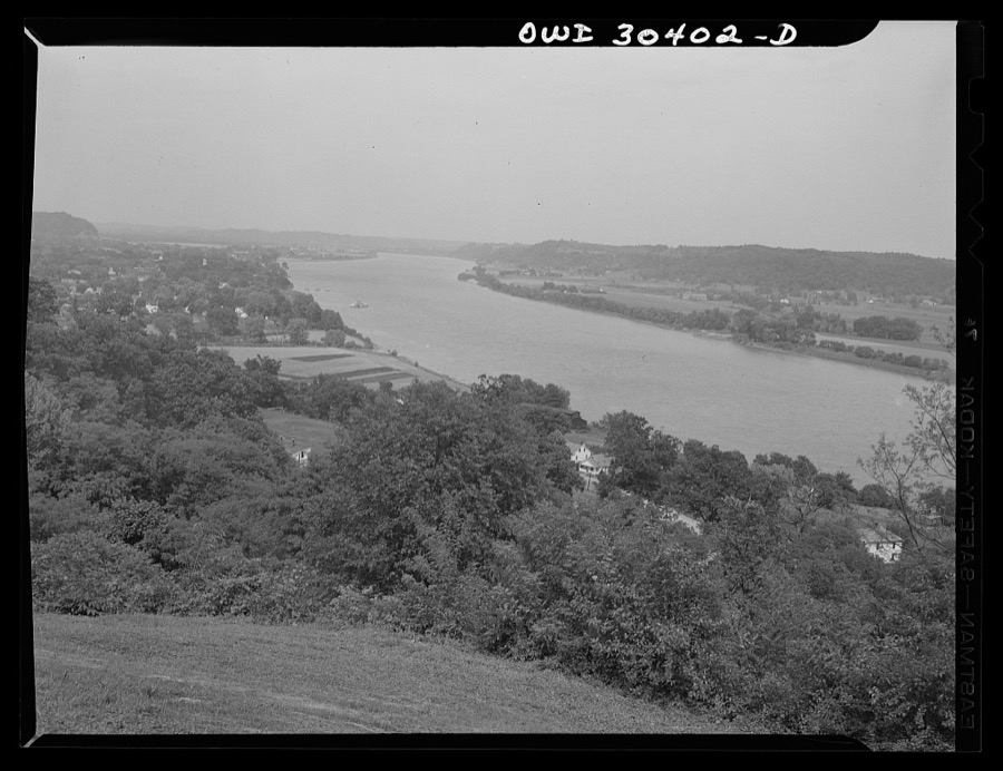
Siegel, Arthur S., photographer, 1943. Library of Congress

Siegel, Arthur S., photographer, 1943. Library of Congress
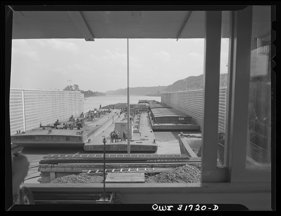
Siegel, Arthur S., photographer, 1943. Library of Congress
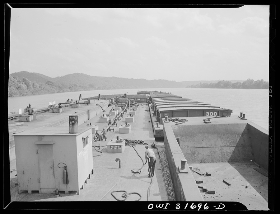
Siegel, Arthur S., photographer, 1943. Library of Congress

Siegel, Arthur S., photographer, 1943. Library of Congress
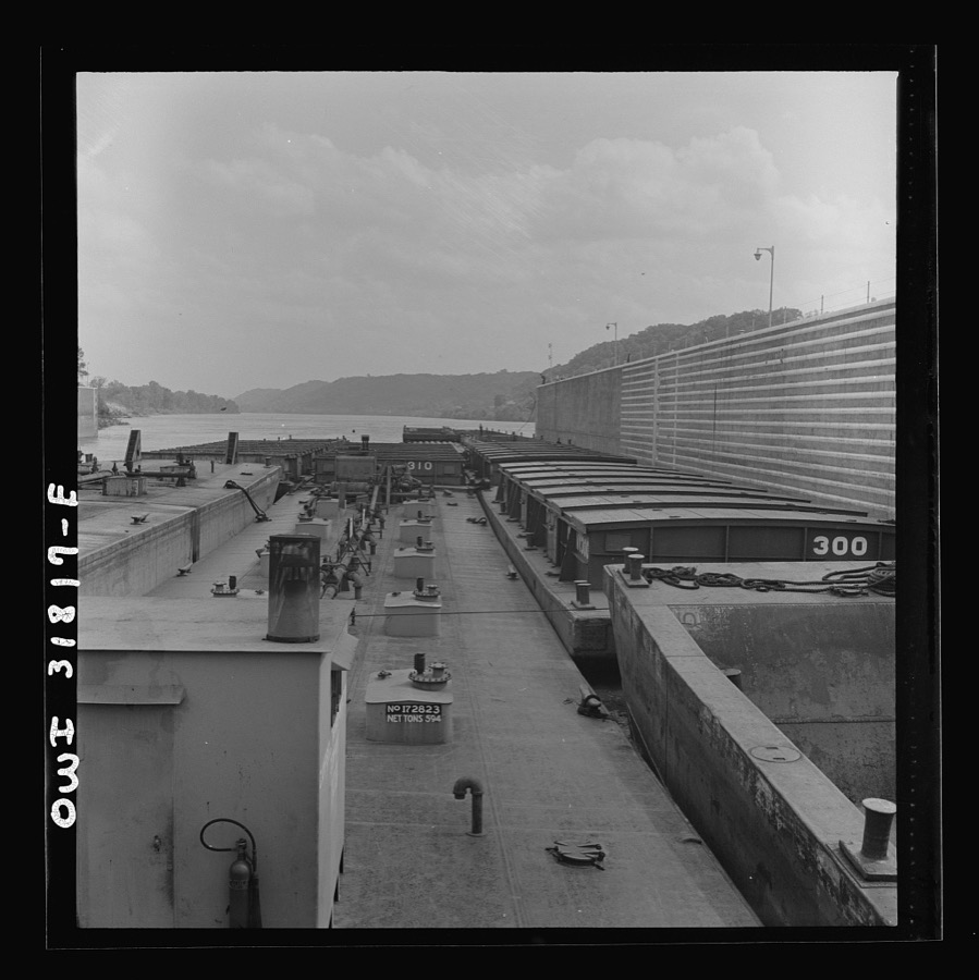
Siegel, Arthur S., photographer, 1943. Library of Congress
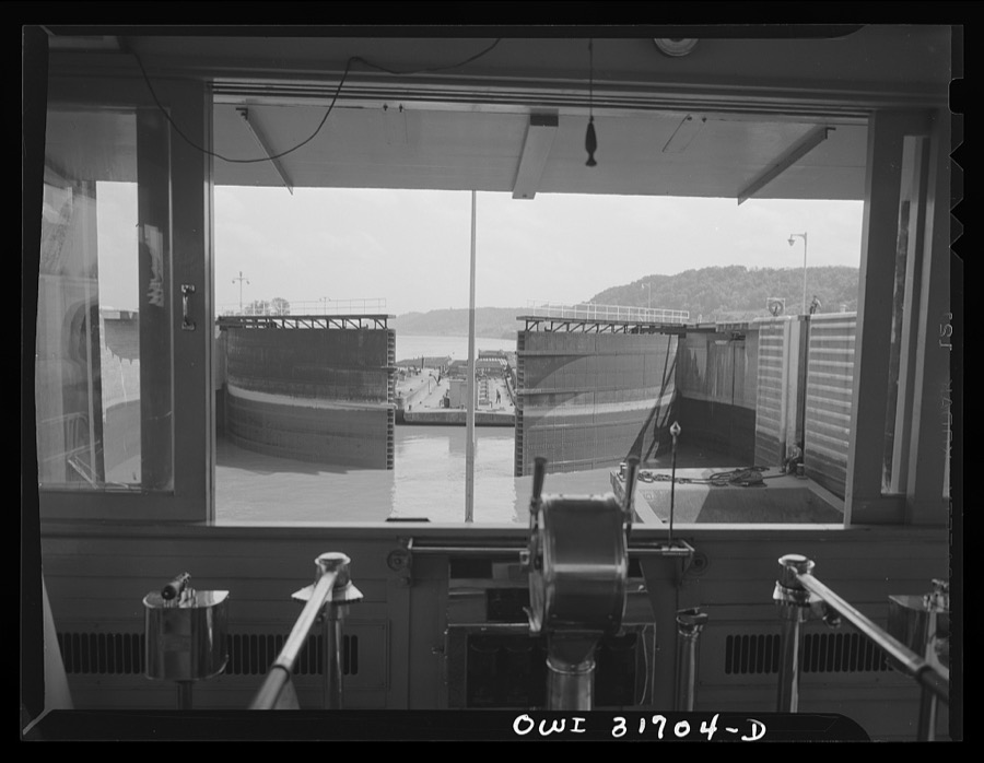
Siegel, Arthur S., photographer, 1943. Library of Congress
Fires nearby
69 since 1992The federal wildfire occurrence database lists 69 fires within 5 miles of Gallipolis between 1992 and 2020, burning about 329 acres in total. None started naturally. 14 were recorded as arson. Distance is straight-line from the map coordinates, so a fire counted here may appear on a neighbouring settlement's page as well.
| Reported cause | Fires |
|---|---|
| Debris and open burning | 35 |
| Arson/incendiarism | 14 |
| Missing data/not specified/undetermined | 7 |
| Smoking | 5 |
| Equipment and vehicle use | 4 |
| Misuse of fire by a minor | 2 |
| Fireworks | 2 |
The most recent of them, most recent first, with the day each was reported and the service that recorded it.
| Date | Cause | Size | Reported by | Name on the report |
|---|---|---|---|---|
| 21 September 2007 | Missing data/not specified/undetermined | 1.0 acres | Ohio Department of Natural Resources | not named |
| 21 September 2007 | Debris and open burning | 3.0 acres | Ohio Department of Natural Resources | not named |
| 13 September 2016 | Arson/incendiarism | under an acre | Ohio Department of Natural Resources | 5606 |
| 9 August 2017 | Missing data/not specified/undetermined | under an acre | Ohio Department of Natural Resources | 8687 |
| 15 August 1993 | Arson/incendiarism | under an acre | West Virginia Division of Forestry | REDMOND RIDGE ROAD |
| 17 July 1999 | Debris and open burning | 16 acres | West Virginia Division of Forestry | PRIVATE FARM RD |
| 15 July 1999 | Arson/incendiarism | under an acre | West Virginia Division of Forestry | KRODEL POND |
| 3 June 2016 | Arson/incendiarism | under an acre | Ohio Department of Natural Resources | 5005 |
Settlements close enough to share some of these fires:
Specimens collected nearby
12 of 390 shownMuseums hold 390 specimens collected within 10 miles of Gallipolis between 1888 and 1973: 215 Animalia, 118 Fungi, 43 Plantae, 12 Chromista, 2 Unrecorded. 12 distinct Species records are shown. Collected by Archer, W. A., Babcocks D. O., Bartley, F. and others. Each is a physical object with a catalogue number, and each entry opens the museum's record. This is what was collected and kept, not a survey of what lives here - nothing can be concluded from a species being absent.
| Image | Species | Year | Collected by | Where, as recorded |
|---|---|---|---|---|
 | Macrhybopsis storeriana (Kirtland, 1845) | 1888 | C. Gilbert & J. Henshall | Raccoon Island, Ohio River |
 | Moxostoma carinatum (Cope, 1870) | 1888 | C. Gilbert & J. Henshall | Near Gallipolis, Racoon Island, Ohio River |
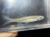 | Notropis atherinoides Rafinesque, 1818 | 1888 | C. Gilbert & J. Henshall | Raccoon Island, Ohio River |
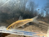 | Notropis blennius (Girard, 1856) | 1888 | C. Gilbert & J. Henshall | Raccoon Island, Ohio River |
 | Notropis stramineus (Cope, 1865) | 1888 | C. Gilbert & J. Henshall | Raccoon Island, Ohio River |
 | Percina copelandi (Jordan, 1877) | 1888 | C. Gilbert & J. Henshall | Raccoon Island, Ohio River |
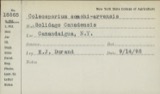 | Coleosporium sonchi-arvensis (Pers.) Lév. | 1891 | Millspaugh C. F. | Point Pleasant |
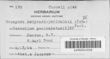 | Uromyces hedysari-paniculati (Schwein.) Farl. | 1891 | Millspaugh C. F. | Point Pleasant |
 | Uromyces trifolii (R.Hedw.) Lév., 1847 | 1891 | Millspaugh C. F. | Point Pleasant |
| unnamed | 1900 | none specified | Vinton, Gallia Co., OH, Gallia, Ohio, United States | |
| Animalia | 1900 | not recorded | Vinton, Gallia Co., OH, Gallia, Ohio, United States | |
 | Arthromacra aenea | 1900 | not recorded | Vinton, Gallia Co., OH, Gallia, Ohio, United States |
All 390 specimens within 10 miles, at the Global Biodiversity Information Facility.
Mines and quarries nearby
4 within 5 milesThe federal mineral resources record lists 4 workings within 5 miles of Gallipolis: 2 past producers, 2 producers. 2 still produce. What was taken out: Sand and Gravel, Construction. Distance is straight-line from the map coordinates, so a quarry counted here may appear on a neighbouring settlement's page as well.
| Where | Site | Commodity | Status | Recorded |
|---|---|---|---|---|
| Eppling Pit | Sand and Gravel, Construction | Producer | ||
| Mt Epling Gallipolis Dredge | Sand and Gravel, Construction | Producer | ||
| Thompson Pit | Sand and Gravel, Construction | Past Producer | Sedimentary | |
| Thompson Pit | Sand and Gravel, Construction | Past Producer |
Storms nearby
51 since 1994The National Weather Service names Gallipolis in 51 storm reports between 1994 and 2026: 26 thunderstorm wind, 20 hail, 2 flash flood, 2 flood. No death or injury is recorded in these reports. Each account below is quoted exactly as the forecast office filed it, from the NOAA Storm Events Database, and each date opens the federal record of that event.
| When | Event | Place named | Harm | What the report says |
|---|---|---|---|---|
| June 1998 | Hail | Gallipolis | $750,000 | no account filed |
| July 2014 | Thunderstorm Wind | Gallipolis | $50,000 | A few trees were blown down from west of Gallipolis to along Route 7 in Gallipolis. One large branch fell onto a truck and also damaged a house roof. |
| June 1998 | Tornado (F0) | Gallipolis | $50,000 | Fallen trees caused minor damage to about 6 buildings in the region where Route 141 and 7 enters the city from the southwest. |
| July 1995 | Thunderstorm Wind | Gallipolis | $30,000 | no account filed |
| July 2000 | Thunderstorm Wind | Gallipolis | $20,000 | Trees were blown down from Gallipolis through Centenary and on south, into Harrison Township near Angel. |
| May 2013 | Thunderstorm Wind | Gallipolis | $15,000 | A section of an old roof was blown down onto a parked vehicle. A tree also was knocked down. |
| May 2001 | Hail | Gallipolis | $15,000 | A supercell developed over the county, ahead of the main area of showers and thunderstorms. |
| July 1997 | Thunderstorm Wind | Gallipolis | $15,000 | Several trees were blown down in the city. One damaged a parked car. |
| August 1997 | Thunderstorm Wind | Gallipolis | $15,000 | no account filed |
| July 2015 | Flash Flood | Gallipolis | $10,000 | Streams quickly rose and flooded streets. In addition, urban flash flooding occurred in the town of Gallipolis. |
| August 2000 | Thunderstorm Wind | Gallipolis | $10,000 | Large trees were knocked down in town. |
| May 2012 | Hail | Gallipolis | $10,000 | no account filed |
| March 2021 | Flood | Gallipolis | $8,000 | The Ohio River at Point Pleasant rose above its 40 foot flood stage on the evening of March 1st. The river would remain out of its banks through March 4th and crested at 46.23 feet. While the river was above its banks, low lying areas surrounding Point Pleasant flooded due to backwater. |
| July 2007 | Thunderstorm Wind | Gallipolis | $8,000 | Poles were blown over and damaged cars along Route 7. |
| August 2011 | Thunderstorm Wind | Gallipolis | $5,000 | Trees fell and blocked Bulaville Pike, causing electric power outages. |
| June 2010 | Thunderstorm Wind | Gallipolis | $5,000 | Trees were blown onto power lines. |
| February 2009 | Thunderstorm Wind | Gallipolis | $5,000 | Trees were blown onto power lines. |
| August 2000 | Flash Flood | Gallipolis | $5,000 | Rains of 2 to 3.5 inches fell over saturated ground. Roads flooded and forced campers to higher ground at the fairground in Green Township. The cooperative observe in Gallipolis measured 2.3 inches of rain. |
| June 1996 | Thunderstorm Wind | Gallipolis | $5,000 | no account filed |
| June 1994 | Hail | Gallipolis | $5,000 | no account filed |
| August 2023 | Thunderstorm Wind | Gallipolis | $3,500 | A porch was blown off a house in Gallipolis. |
| June 2023 | Thunderstorm Wind | Gallipolis | $2,000 | A few downed tree limbs were observed near Gallipolis. Part of the city lost power as a result of the downed trees. Pea size hail and localized street flooding were also reported within the city. |
| November 2002 | Thunderstorm Wind | Gallipolis | $2,000 | Large tree branches were snapped off. |
| May 1995 | Thunderstorm Wind | Gallipolis | $2,000 | Ironton police reported many large trees were blown down and a utility trailer was overturned at a construction site. The Corps of Engineers said one of their trailers was blown off its foundation at Gallipolis. |
| November 1996 | Thunderstorm Wind | Gallipolis | $2,000 | no account filed |
| April 2026 | Thunderstorm Wind | Gallipolis | $1,500 | In Gallipolis, a large tree fell and blocked Ohio Avenue. |
| June 2020 | Thunderstorm Wind | Gallipolis | $1,500 | Small trees were downed onto Vine Street in Gallipolis. Several inches of water also covered Vine Street Bridge between Chillicothe Road and State Route 141. |
| March 2012 | Thunderstorm Wind | Gallipolis | $1,000 | Large branches were knocked down. |
| October 2010 | Thunderstorm Wind | Gallipolis | $1,000 | Trees and large branches fell along Route 141. |
| July 2000 | Thunderstorm Wind | Gallipolis | $1,000 | Large tree branches were blown down along Route 588. |
| April 2010 | Hail | Gallipolis | $1,000 | no account filed |
| April 2010 | Hail | Gallipolis | $1,000 | no account filed |
| April 2010 | Hail | Gallipolis | $1,000 | no account filed |
| May 2024 | Thunderstorm Wind | Gallipolis | $250 | A downed tree was observed in Gallipolis. |
| August 2009 | Thunderstorm Wind | Gallipolis | - | Trees were blown down. |
| June 2007 | Thunderstorm Wind | Gallipolis | - | Trees fell along George Creek. |
| August 2007 | Thunderstorm Wind | Gallipolis | - | Trees fell across Harrison Township. |
| June 2001 | Hail | Gallipolis | - | Dime size hail fell around Eureka. |
| June 2023 | Hail | Gallipolis | - | no account filed |
| March 2021 | Hail | Gallipolis | - | no account filed |
| June 2016 | Hail | Gallipolis | - | no account filed |
| April 2008 | Flood | Gallipolis | - | no account filed |
| March 2007 | Hail | Gallipolis | - | no account filed |
| July 2006 | Hail | Gallipolis | - | no account filed |
| July 2005 | Hail | Gallipolis | - | no account filed |
| December 2005 | Hail | Gallipolis | - | no account filed |
| May 2003 | Hail | Gallipolis | - | no account filed |
| November 2002 | Hail | Gallipolis | - | no account filed |
| May 2001 | Hail | Gallipolis | - | no account filed |
| June 1998 | Hail | Gallipolis | - | no account filed |
| June 1994 | Hail | Gallipolis | - | no account filed |
Newspapers printed here
0 digitised pages1 paper published in this town, digitised by the Library of Congress and free to read: 0 issues, 0 pages. Every page is searchable, so a name or a street can be looked for directly in what the town printed about itself at the time.
| Newspaper | Published |
|---|---|
| Gallipolis Journal | 1837 to 1919 |
What the paper printed
19,693 wordsFront pages of the local paper, read from the Library of Congress scans: 5 issues spread across its run from 1850 to 1880, 19,693 words in total. Each is reproduced on its own page, exactly as the recogniser returned it.
These pages read less well than anything else here, and the number is worth stating: about three words in four come through cleanly, against nine in ten for the building records. An 1896 broadsheet sets eight-point type in seven columns on microfilm, which is the hardest thing in this archive to read by machine. We tested our own recognisers against the Library's and they were not better, so the Library's text is what appears, with the wholly unreadable columns removed. Read it as a guide to what the paper covered, and follow the link to the scan before quoting anything.
| Issue | Paper | Length |
|---|---|---|
| 1850-08-15 | Gallipolis Journal | 5,071 words |
| 1850-10-03 | Gallipolis Journal | 4,329 words |
| 1850-11-14 | Gallipolis Journal | 3,398 words |
| 1862-02-13 | Gallipolis Journal | 4,750 words |
| 1880-12-30 | Gallipolis Journal | 2,145 words |
Nearest settlements
The eight closest, with where each one stands in the county. Distances are straight-line, computed from the Geographic Names Information System coordinates.
| Map | Place | Distance | Sheets |
|---|---|---|---|
| Hedgewood | 0.5 miles | 16 | |
| Orchard Hill | 0.6 miles | 16 | |
| Willow Woods | 0.9 miles | 16 | |
| Evans Heights | 1.1 miles | 16 | |
| Grandview Estates | 1.3 miles | 16 | |
| Lawnview | 1.5 miles | 16 | |
| Mapleshade | 1.6 miles | 16 | |
| Hanersville | 1.9 miles | 16 |
Elsewhere
Matched on this settlement's Geographic Names Information System number rather than its name, so it cannot be a different place of the same name in another state.
| Wikipedia article on Gallipolis | An encyclopaedic summary. Its text is share-alike, so it is linked here rather than copied. |
| Wikidata item Q176684 | The structured record the population and elevation above come from. Public domain (CC0). |
Provenance
This settlement is recorded in the Geographic Names Information System as feature 1077526. The sheet list is computed by point-in-boundary test against the United States Geological Survey's historical topographic inventory. Both are works of the United States government and carry no copyright under 17 U.S.C. 105.
Wildfire. Short, Karen C. 2022. Spatial wildfire occurrence data for the United States, 1992-2020 [FPA_FOD_20221014]. 6th Edition. Fort Collins, CO: Forest Service Research Data Archive. https://doi.org/10.2737/RDS-2013-0009.6 Collected with United States Government funding and usable without additional permissions or fees.
Specimens. Global Biodiversity Information Facility (GBIF), https://www.gbif.org/. Only records licensed CC0 or CC BY are used. Records licensed CC BY-NC are excluded because this site carries advertising. Images are checked individually and any whose licence is non-commercial, no-derivatives or unreadable is refused.
Mines and quarries. USGS Mineral Resources Data System (MRDS) https://mrdata.usgs.gov/mrds/ A work of the United States government, no copyright under 17 U.S.C. 105.
Storms. NOAA National Centers for Environmental Information, Storm Events Database https://www.ncei.noaa.gov/stormevents/ A work of the United States government, no copyright under 17 U.S.C. 105. Narratives are quoted verbatim from the National Weather Service report and are not edited or summarised.