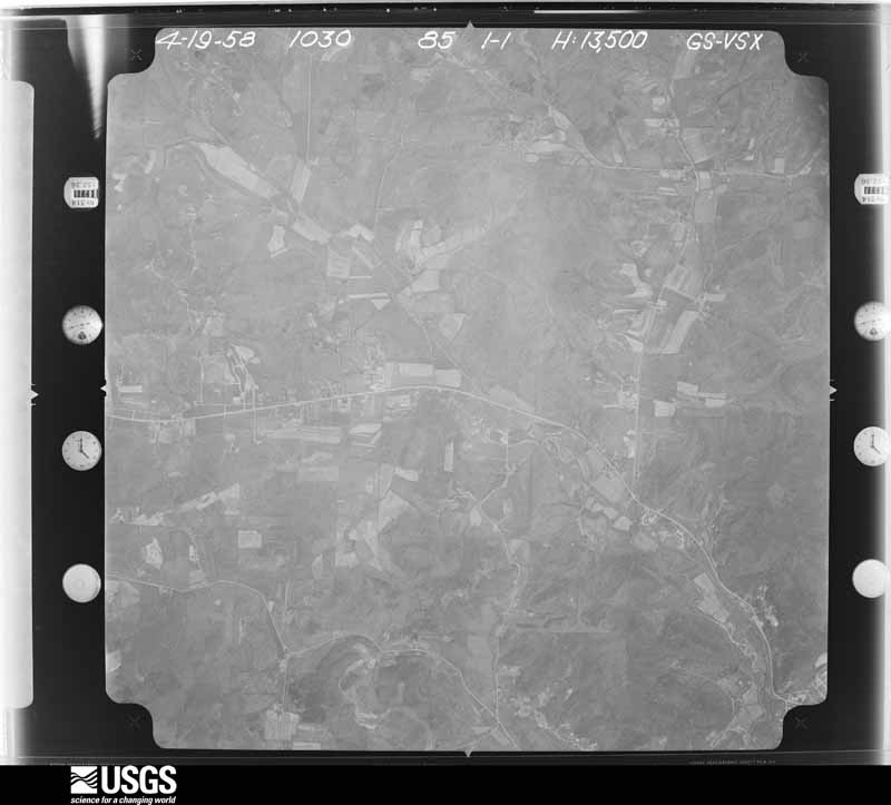
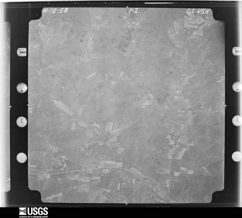
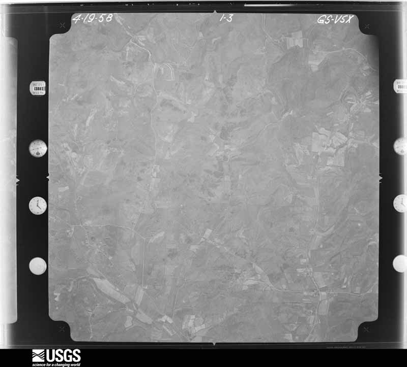
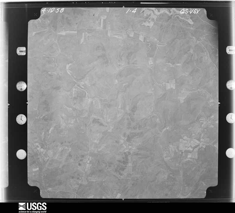
96 topographic sheets and 8 fire insurance
atlases across 1 place.
Research this county
This curated hub for Gallia County, Ohio brings together the page's documented record links, visible map or image evidence where published, and routes to related local records.
Use the page's provenance and linked records to distinguish the source material from the site's navigation and summaries.
How should I cite it?
Open the original record, preserve its repository and identifier, then use the citation tool for this page as a path back to the source.
Where should I go next?
Follow the county or state hub for related places and records, then use the guide for a source-aware research sequence.
From the record
7 National Register listings · 62 businesses named in the fire insurance atlases from 1885 to 1916 · the 1861 county history tells 0 stories and names 0 people.
Ohio within the United StatesGallia County within Ohio
Explore by year
What the record shows
1 place in this county was surveyed for fire insurance: Gallipolis, between 1885 and 1948.
8 fire insurance atlas(es) survive for the county. Topographic coverage is national; fire insurance survey reached only incorporated places with something worth insuring.
1,239 topographic sheet readings cover the county's settlements.
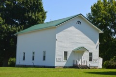
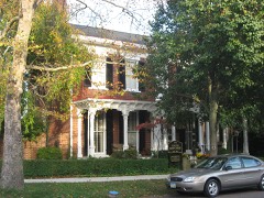
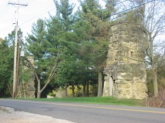
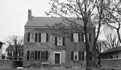
7 properties here are on the National Register of Historic Places, including 2 houses and farms.
2 of the 7 listings were added during the 1970s.
The Geographic Names Information System records 91 populated places in this county; 0 are covered by at least one topographic sheet.
1 public-domain county history, 1861, supply 0 words of narrative reproduced here in full.
Photographs
35 photographs, 1940 to 1943
Taken for the Office of War Information and
the Farm Security Administration, who photographed the country between
1935 and 1944. Works of United States government photographers, with no
known restriction on use. Each opens its catalogue record.
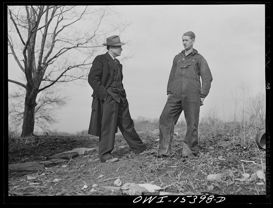
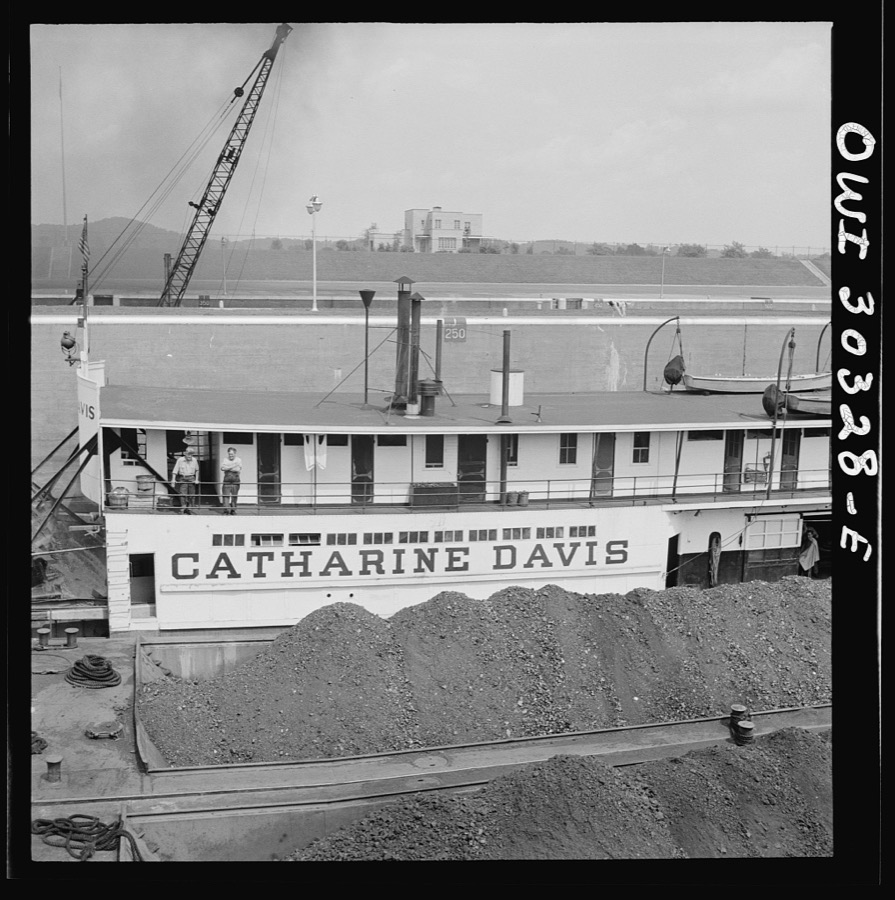
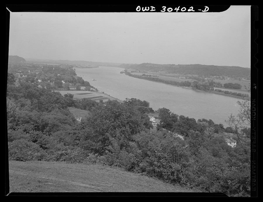
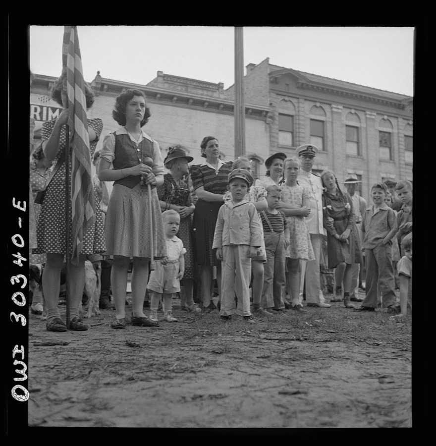
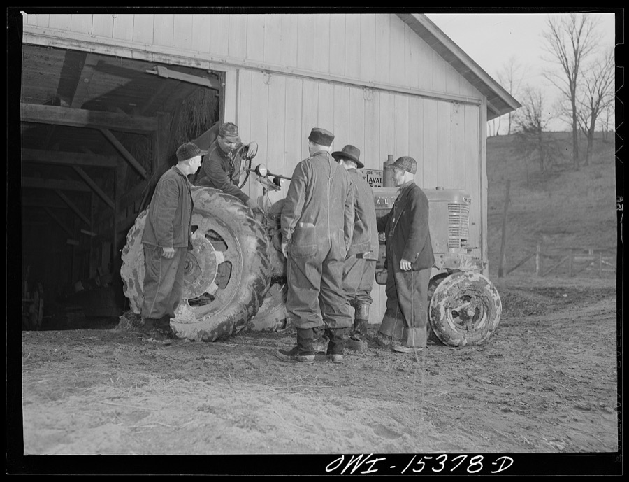
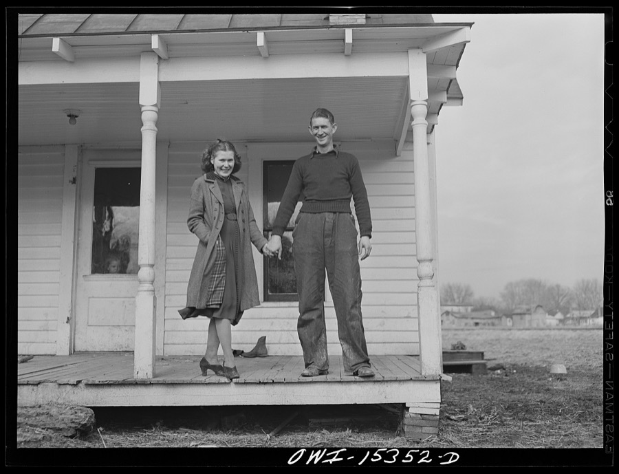
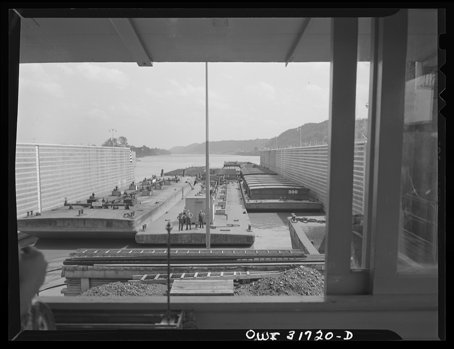
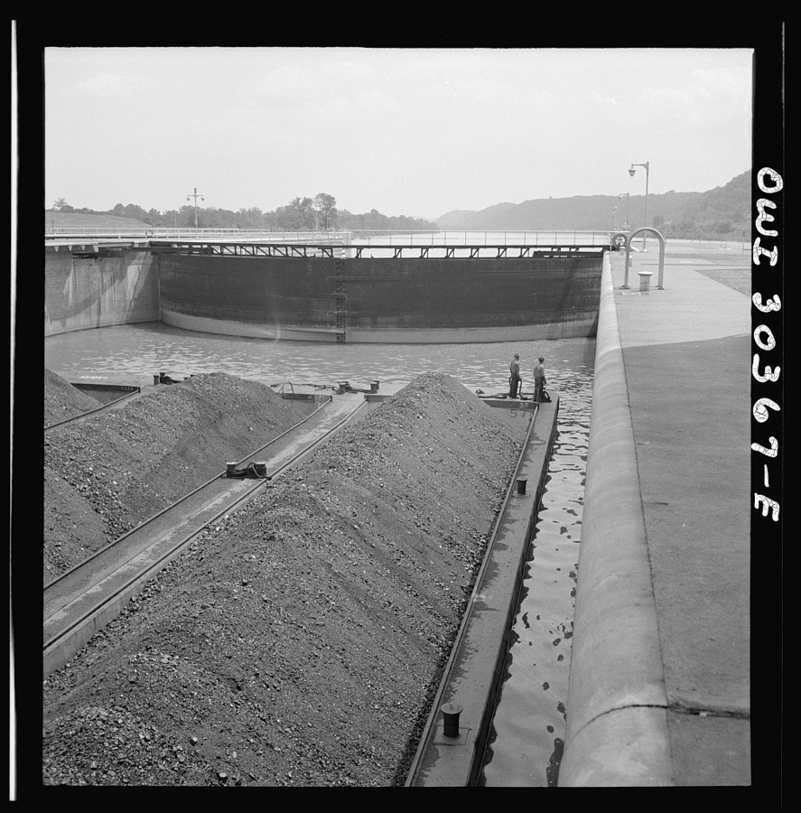
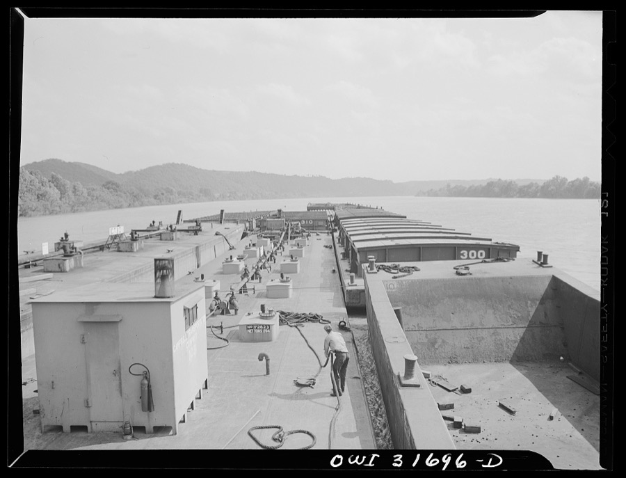
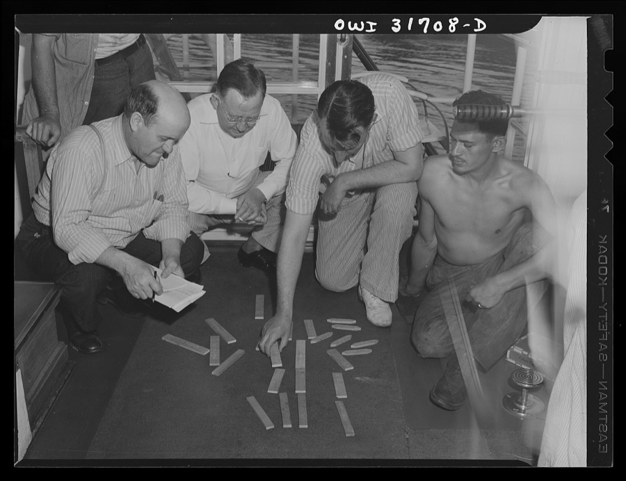
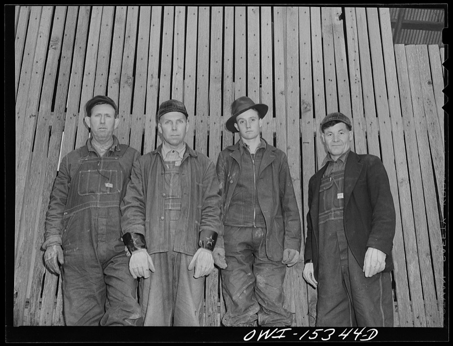
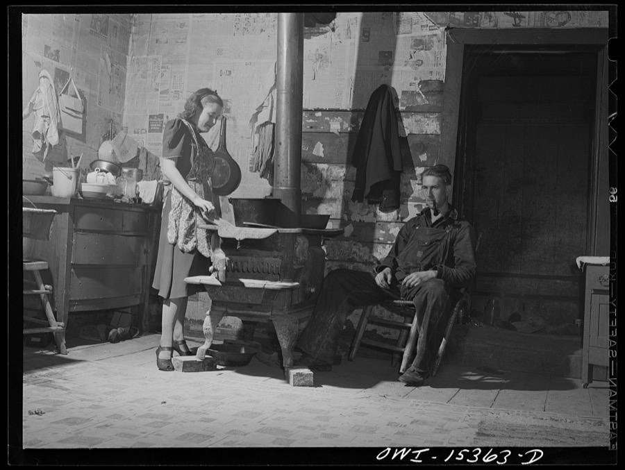
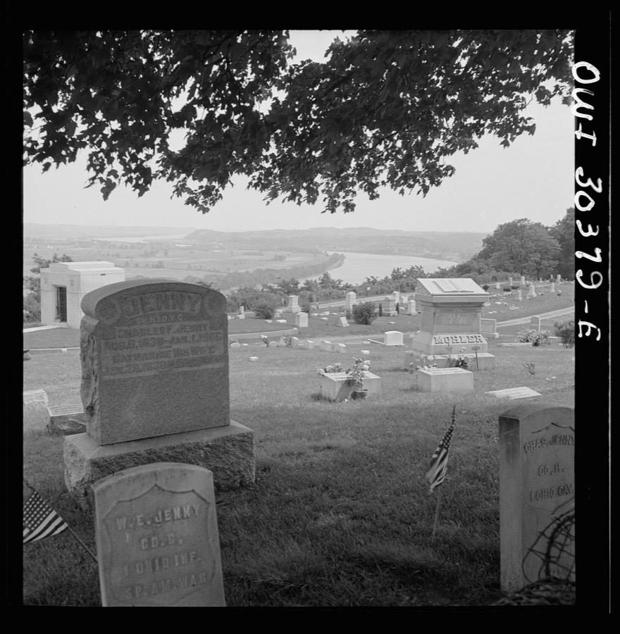
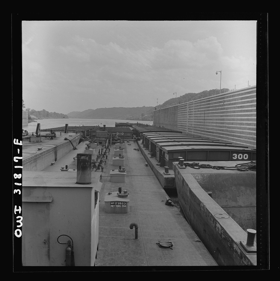
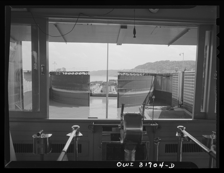
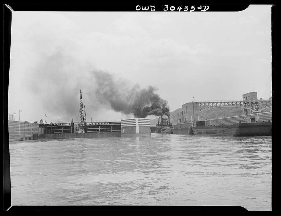
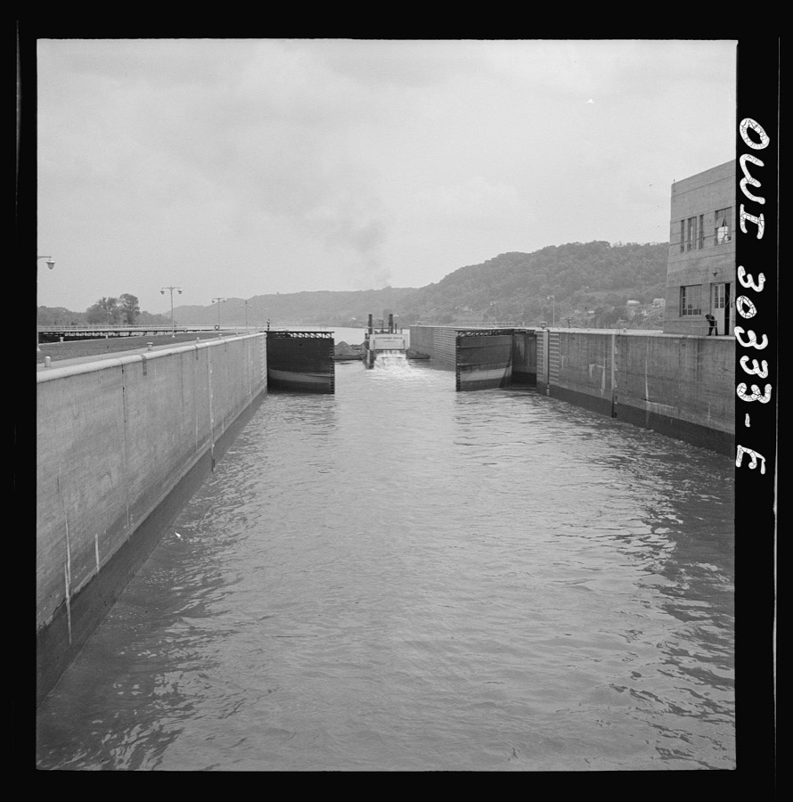
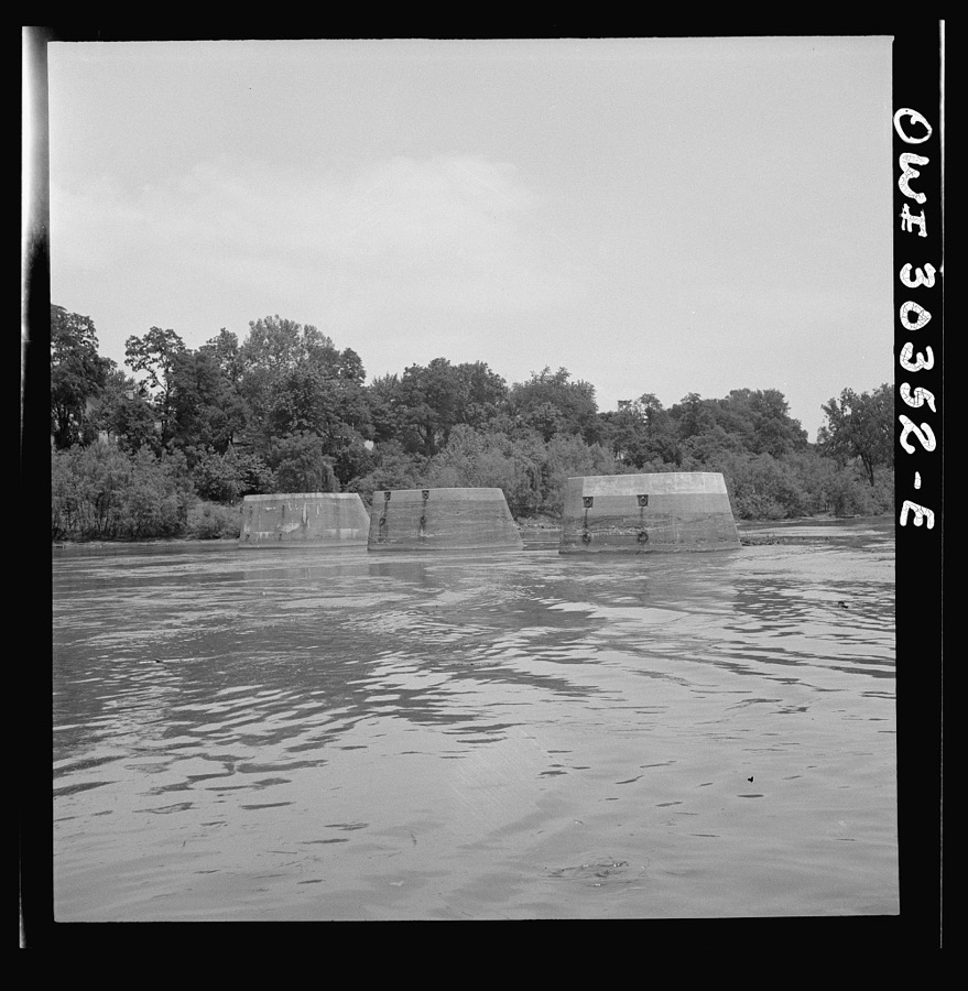
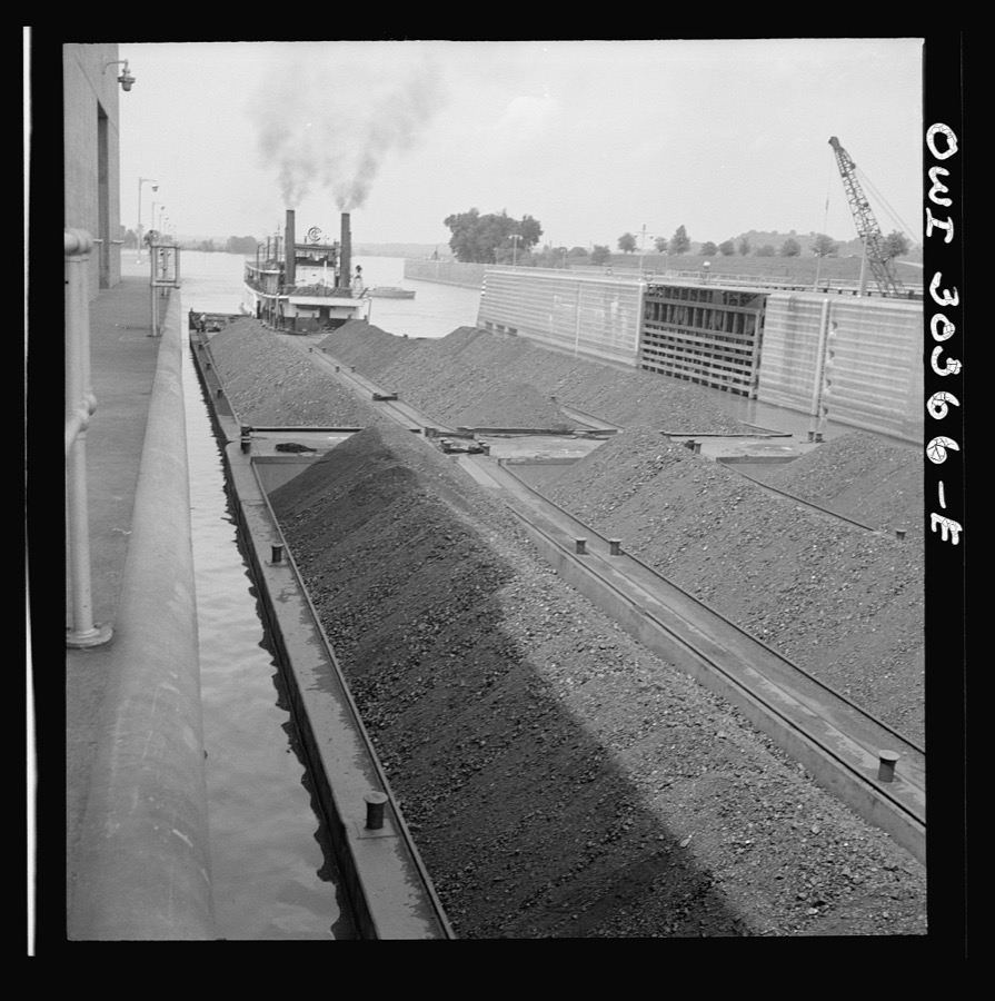
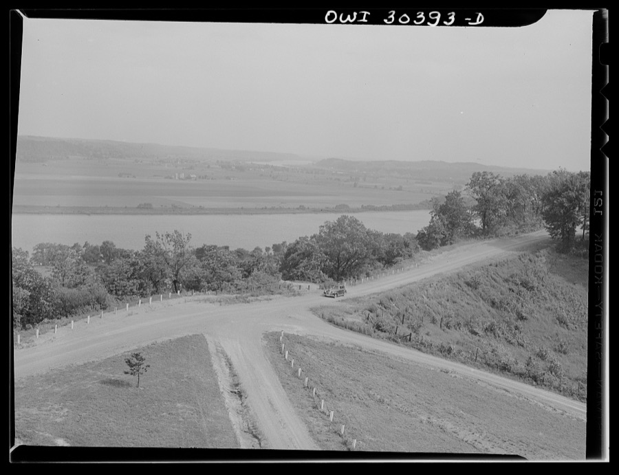
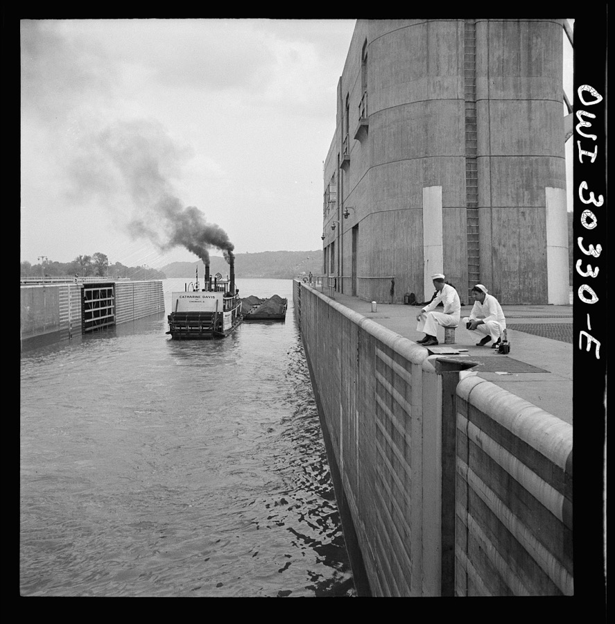
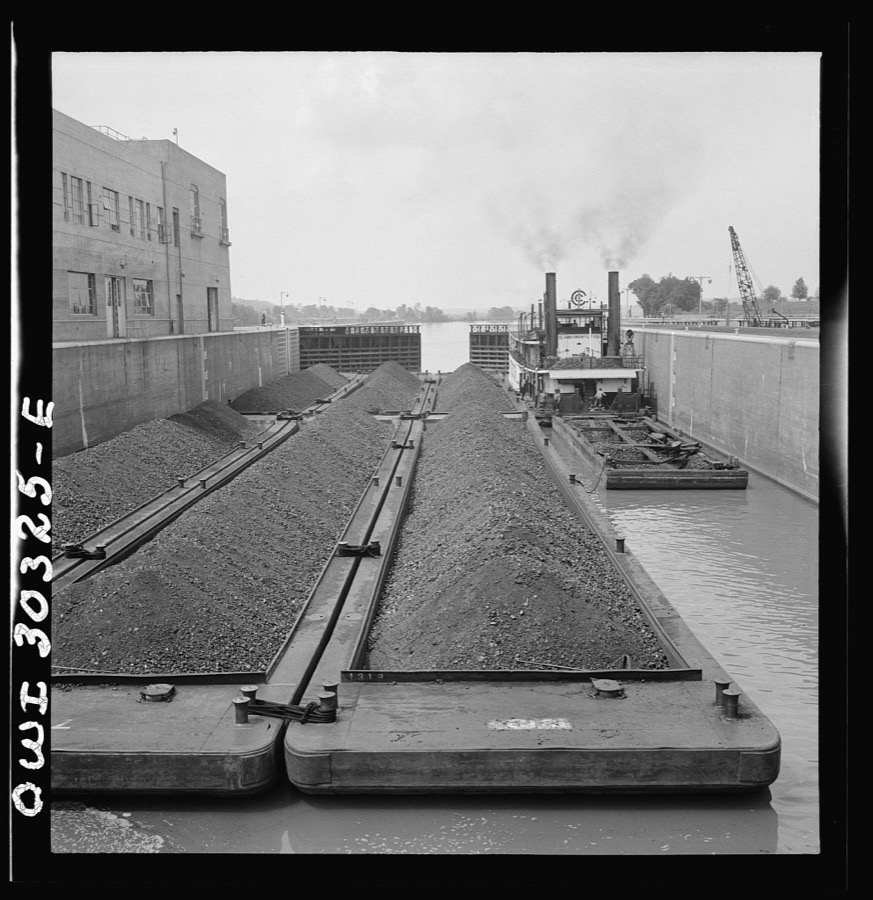
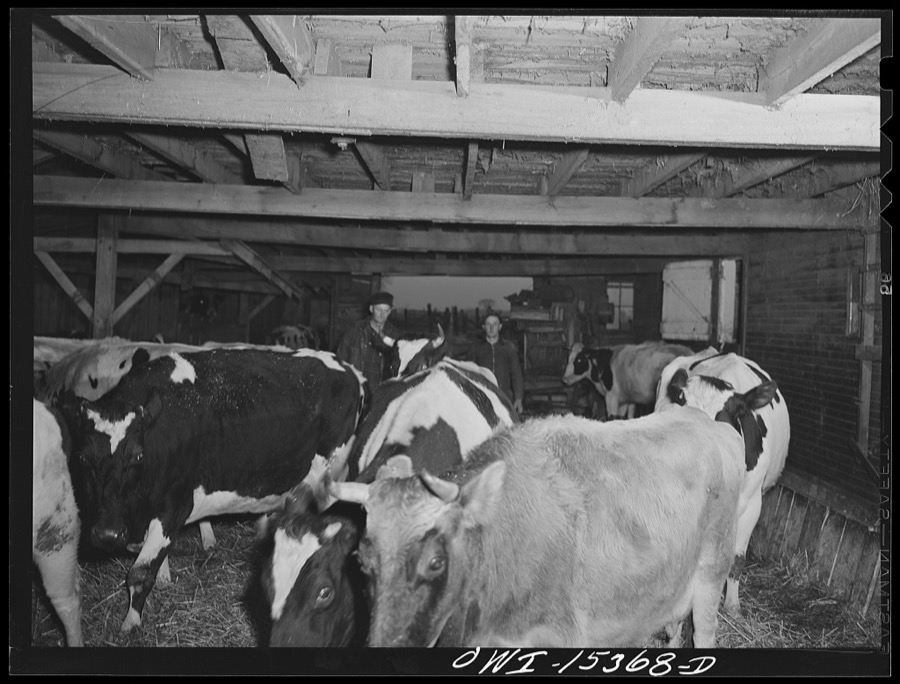
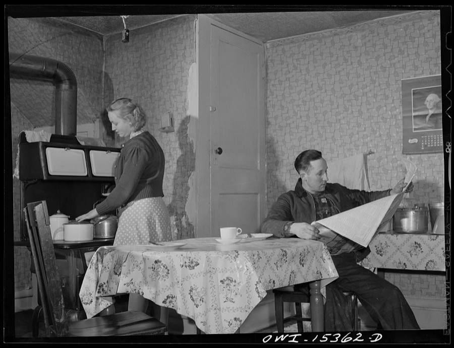
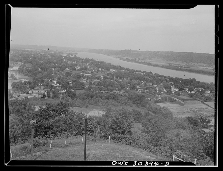
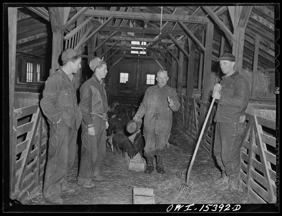
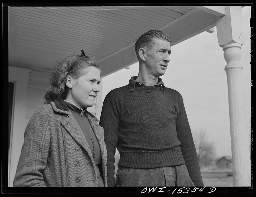
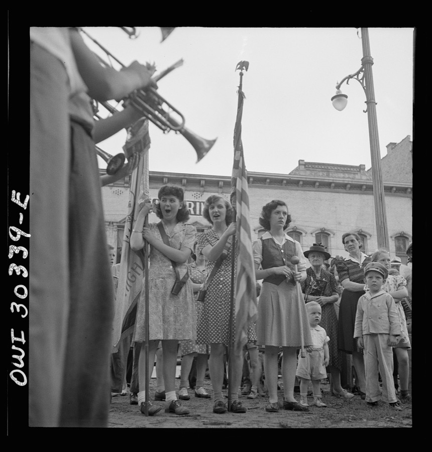
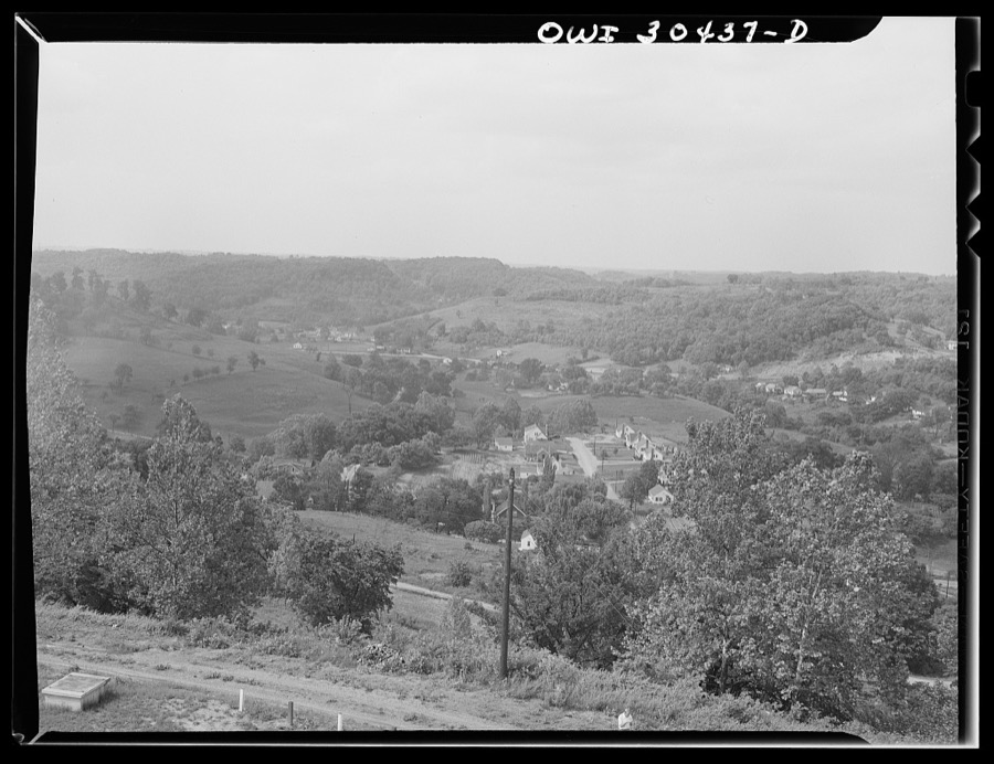
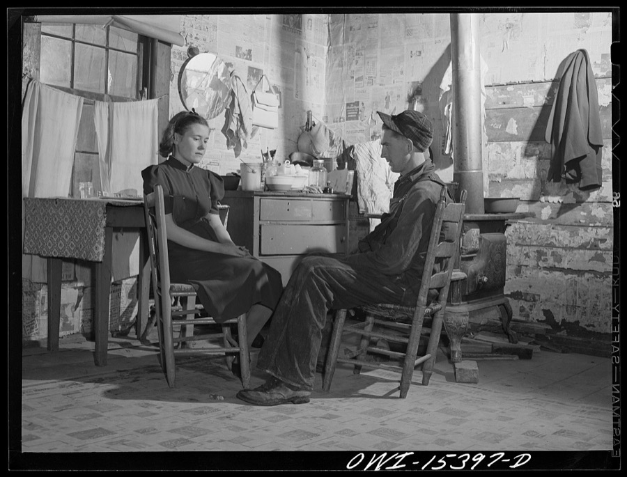
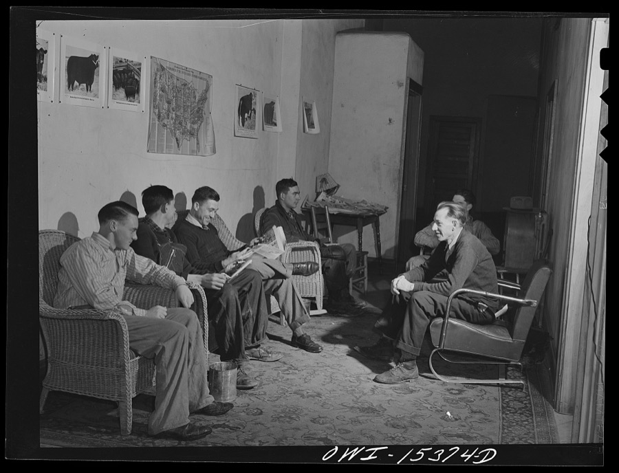
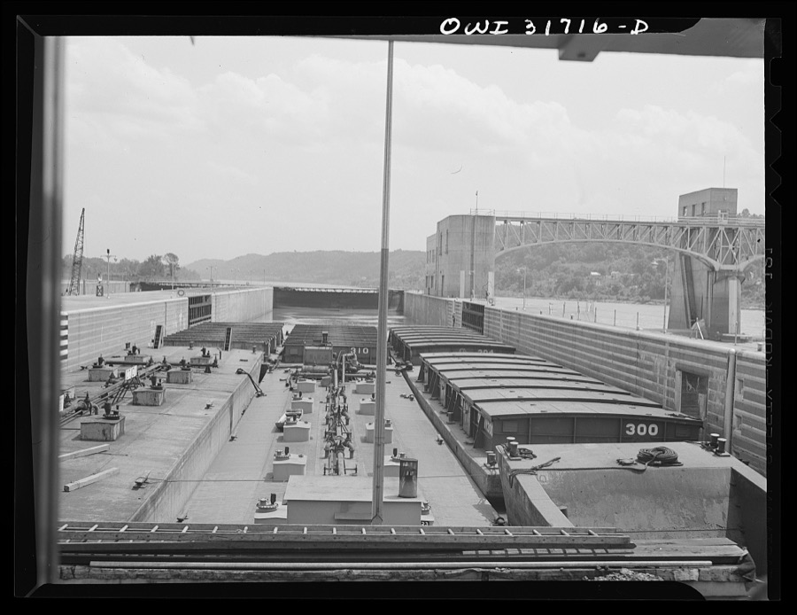
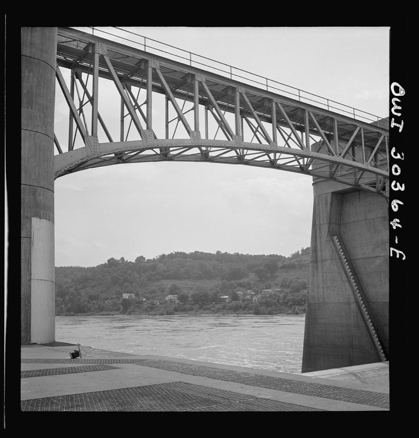
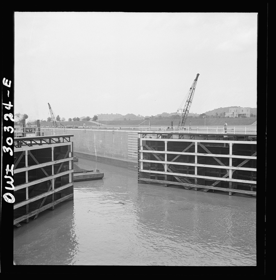
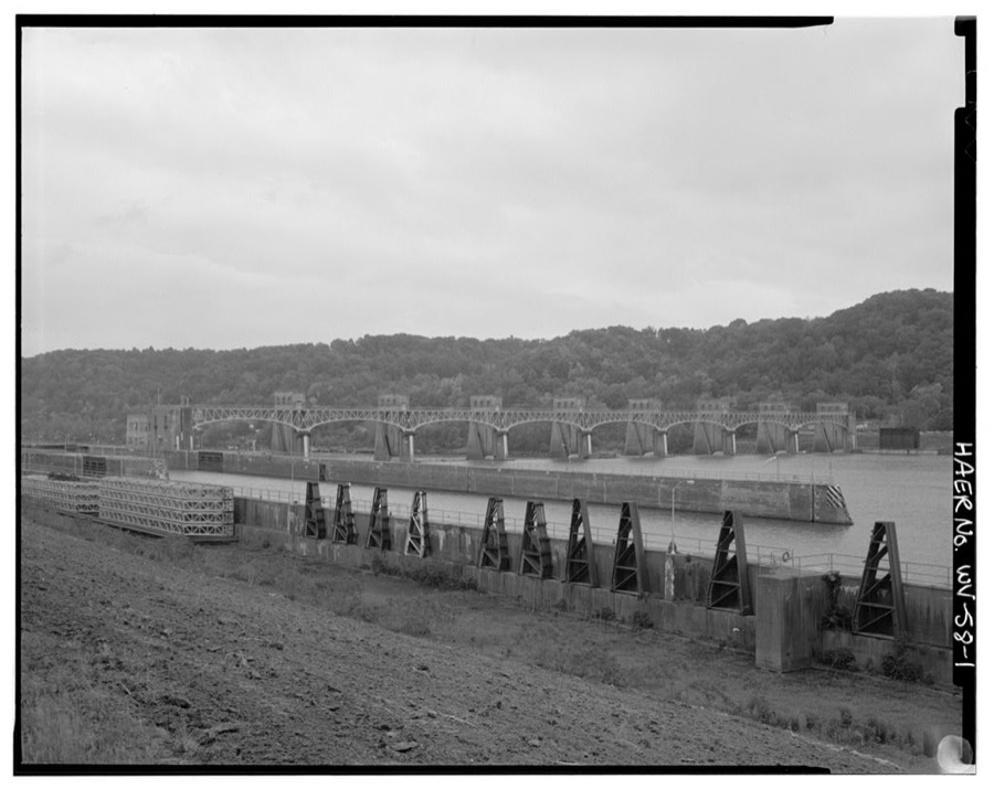
Rio Grande, Gallia County, Ohio. Mr. Bailey, FSA (Farm Security Administration) county supervisor, visiting Reed Hall on his unproductive farm in the hill section of this county. Mr. Bailey is attempting to recruit men from this type of farm for farm labor training and relocation in more productive farming areas Vachon, John, 1943. Library of CongressGallipolis, Ohio. Towboat Katherine Davis in Gallipolis locks Siegel, Arthur S., photographer, 1943. Library of CongressLooking towards Point Pleasant, West Virginia from Gallipolis, Ohio Siegel, Arthur S., photographer, 1943. Library of CongressGallipolis, Ohio. Part of crowd at Decoration Day ceremonies Siegel, Arthur S., photographer, 1943. Library of CongressRio Grande, Gallia County, Ohio. Vinton Kerr (on the tractor), a local farmer hired to instruct farm labor trainees at Rio Grande College Vachon, John, 1943. Library of CongressRio Grande, Ohio. Mr. and Mrs. Reed Hall at their new home on a 500 acre dairy farm in Gallia County, Ohio. Mr. Hall was placed on this farm after attending the farm labor training school at Rio Grande College, Ohio Vachon, John, 1943. Library of CongressGallipolis, Ohio. The tow leaving the locks Siegel, Arthur S., photographer, 1943. Library of CongressCoal barges going through lock Siegel, Arthur S., photographer, 1943. Library of CongressGallipolis, Ohio. Deck hands straightening out the ropes, seen from the Charles T. Campbell, a towboat Siegel, Arthur S., photographer, 1943. Library of CongressGallipolis, Ohio. Making up the arrangement of tow aboard the Ernest T. Weir, a towboat Siegel, Arthur S., photographer, 1943. Library of CongressRio Grande, Ohio. Farm workers Leighton Cassidy, John Floyd, Wayne Gibson and Albert McCune, in training at Rio Grande College Vachon, John, 1943. Library of CongressRio Grande, Gallia County, Ohio. Reed Hall and his wife, Evelyn, in their home in the hill section before moving to 500 acre dairy farm where Mr. Hall received employment as a result of his training at Rio Grande College Vachon, John, 1943. Library of CongressCemetery overlooking the Ohio River Siegel, Arthur S., photographer, 1943. Library of CongressGallipolis, Ohio. Going through the locks Siegel, Arthur S., photographer, 1943. Library of CongressGallipolis, Ohio. The gate locks opening for a towboat to join the double locking as seen from the Charles T. Campbell, a towboat Siegel, Arthur S., photographer, 1943. Library of CongressGallipolis, Ohio. Relationship of roller dam to lock Siegel, Arthur S., photographer, 1943. Library of CongressGallipolis, Ohio. Lock gates closing after Katherine Davis had gone through Siegel, Arthur S., photographer, 1943. Library of CongressGallipolis, Ohio. Almost submerged locks in Ohio River Siegel, Arthur S., photographer, 1943. Library of CongressGallipolis, Ohio(?). Coal barges entering locks Siegel, Arthur S., photographer, 1943. Library of CongressLand around Gallipolis, Ohio Siegel, Arthur S., photographer, 1943. Library of CongressGallipolis, Ohio. Katherine Davis going down the Ohio River through the Gallipolis locks Siegel, Arthur S., photographer, 1943. Library of CongressGallipolis, Ohio. Water gates closing behind coal barges Siegel, Arthur S., photographer, 1943. Library of CongressRio Grande, Gallia County, Ohio. Jim Stevens and Samuel George feed 100 head of hogs on Harry Linebaugh's farm Vachon, John, 1943. Library of CongressRio Grande, Gallia County, Ohio. Mr. and Mrs. Jim Stevens now living on the 280 acre dairy farm of Harry Linebaugh. They had formerly farmed thirty acres in Kentucky, raising mostly tobacco. Mr. Stevens received farm labor training at Ohio State University Vachon, John, 1943. Library of CongressLand around Gallipolis, Ohio Siegel, Arthur S., photographer, 1943. Library of CongressRio Grande, Gallia County, Ohio. James Uriah Dove in the hog house, talking with his new hired men from Kentucky Vachon, John, 1943. Library of CongressRio Grande, Ohio. Reed Hall and his wife, Evelyn, on the porch of a new tenant home on 500 acre dairy farm in Gallia County, Ohio, where they were placed after Mr. Hall attended farm labor training school at Rio Grande College, Ohio Vachon, John, 1943. Library of CongressGallipolis, Ohio. Girl flag bearers at Decoration Day ceremonies Siegel, Arthur S., photographer, 1943. Library of CongressOverlooking Gallipolis, Ohio Siegel, Arthur S., photographer, 1940. Library of CongressRio Grande, Gallia County, Ohio. Reed Hall and his wife in their home in the hill section, before moving to 500 acre dairy farm where Mr. Hall received employment as a result of his training at Rio Grande College Vachon, John, 1943. Library of CongressRio Grande, Gallia County, Ohio. Farm labor trainees live in dormitories at Rio Grande College Vachon, John, 1943. Library of CongressGallipolis, Ohio. Barges entering the locks as seen from the towboat Charles T. Campbell Siegel, Arthur S., photographer, 1943. Library of CongressGallipolis, Ohio. Roller dam showing how river barrier is raised or lowered Siegel, Arthur S., photographer, 1943. Library of CongressGallipolis, Ohio. Lock gates opening to allow the barges to enter Siegel, Arthur S., photographer, 1943. Library of CongressGallipolis Locks & Dam, Across Ohio River, Gallipolis, Mason County, WV Unattributed, . Library of Congress
Places on the National Register
7
Every property in this county listed on the
National Register of Historic Places, with the year it was listed and the
federal nomination document.
Gallia County holds 0 covered bridges on
the National Register, more than any other property type here. Each is a listed
structure with a federal nomination on file.
Digitised newspapers
5 issues
Sampled issues, machine-read from the
Library of Congress scan and published page by page, so every headline
and column is searchable text.
Gallipolis Journal
Gallipolis, Ohio, 1837 to 1919. Machine-read from the Library of Congress scan.
Drawn when these were printed as
single large sheets: the town seen from the air, and the county
divided into its farms with every owner named. Each opens the
original at the Library of Congress.
Land ownership map (1855) - Map of Gallia and Meigs County oil field. Library of Congress.
Photographs from libraries nationwide
1 shown
Selected from the Digital Public Library
of America's 1 image records catalogued for this county. Every
one shown here carries a public-domain status or a licence that permits
reuse on a site that carries advertising; non-commercial, share-alike
and restricted images are excluded. The selection is spread across the
county's towns (at most eight per town), so no single institution's
bulk upload crowds out the rest. Each opens the holding library's
record, and
the complete set at the
Digital Public Library of America is one click away.
[Map of W. Dall's lots in Athens County, Washington County, and Gallia County, Ohio]. Dall, W, Boston Public Library, via the Digital Public Library of America.
The county from the air
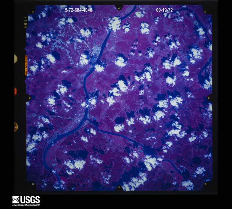
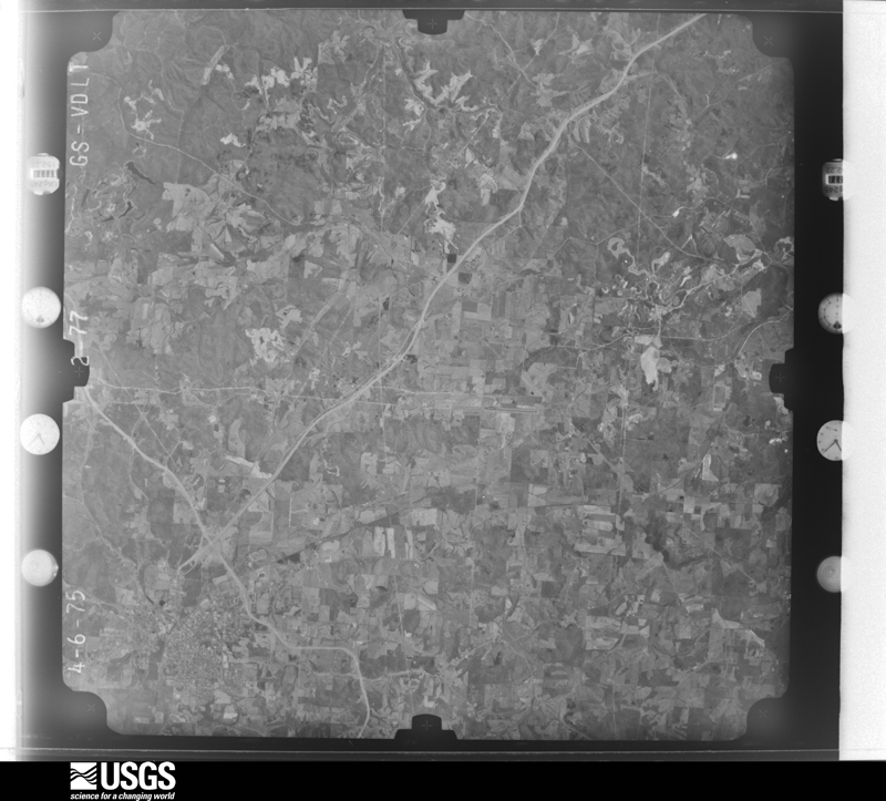
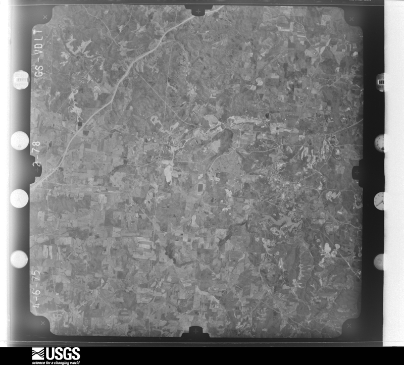
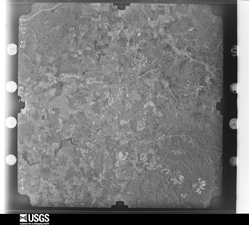
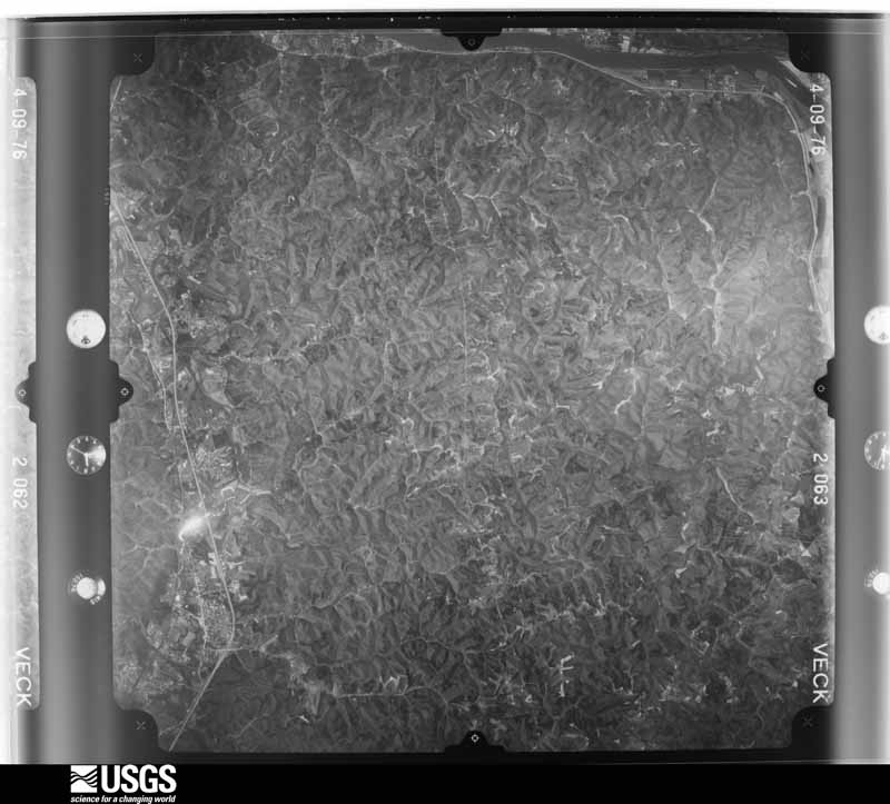
33 of 867 shown
Flown by the U.S. Geological Survey
between 1937 and 1989, the Aerial Photo Single Frames collection is
the definitive mid-century view of the land: fields, roads and rivers
as the camera saw them. 867 frames touch this county; the
selection below spreads across the decades of flights (at most four
per year), so one flight cannot crowd out the rest. The full set is
free to browse and download at
EarthExplorer under the dataset Aerial Photo Single
Frames.
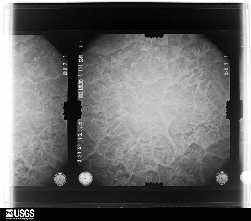
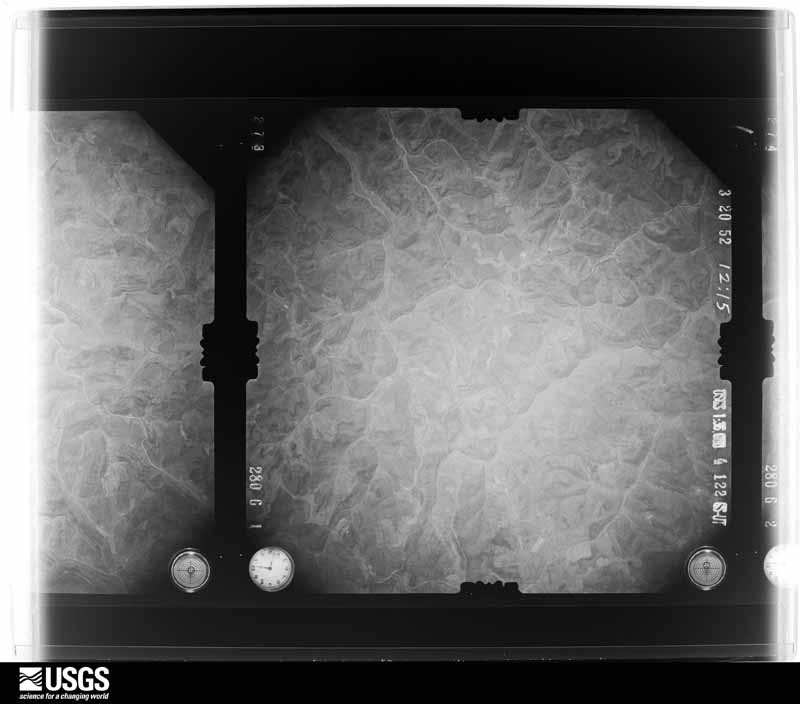
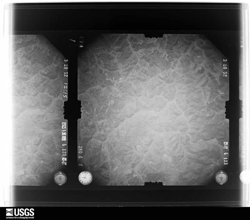
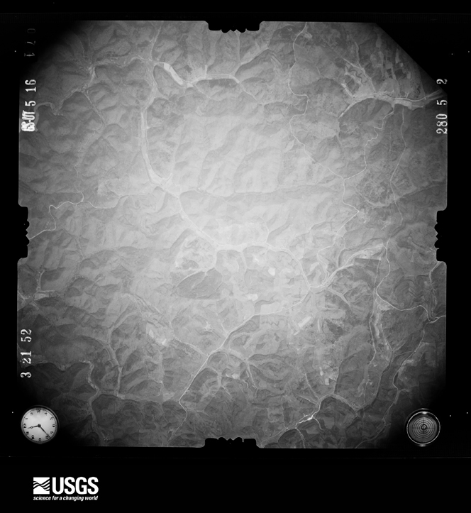
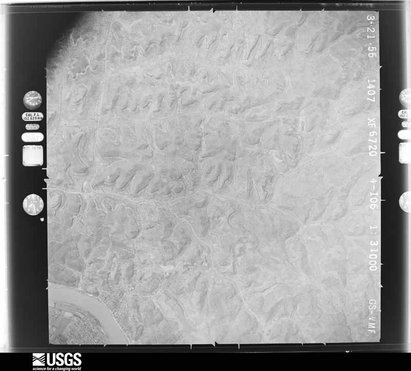
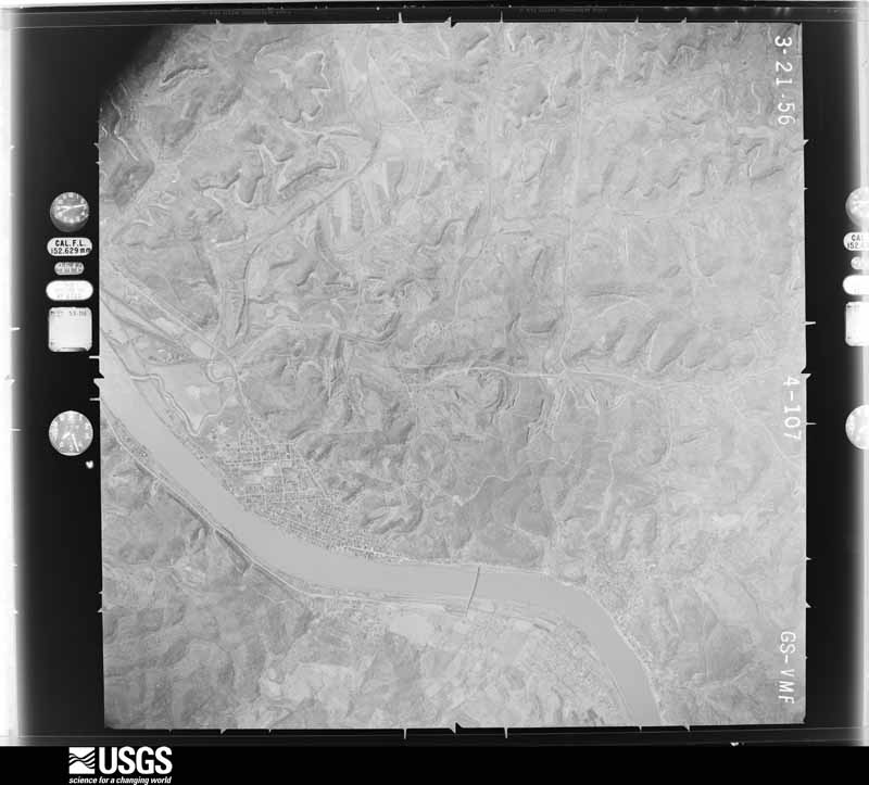
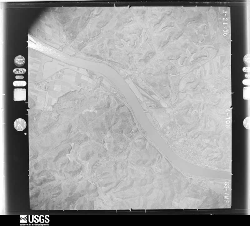
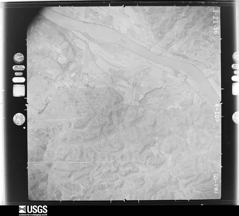
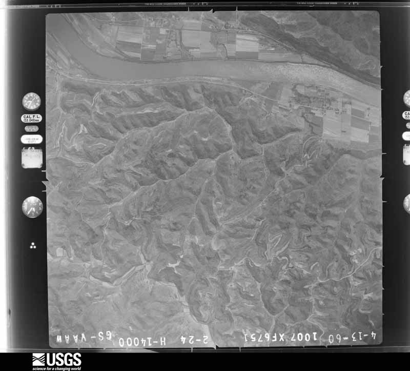
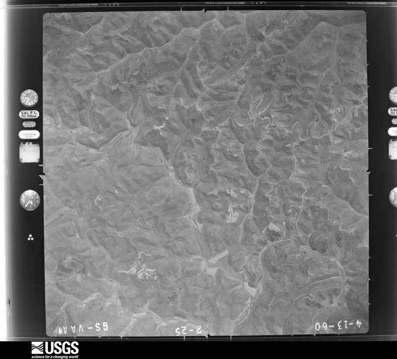
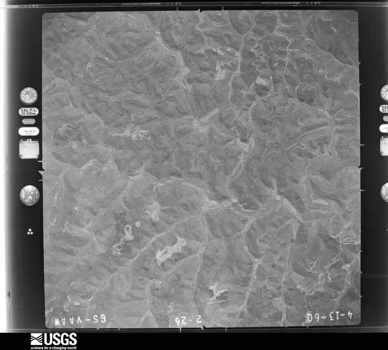
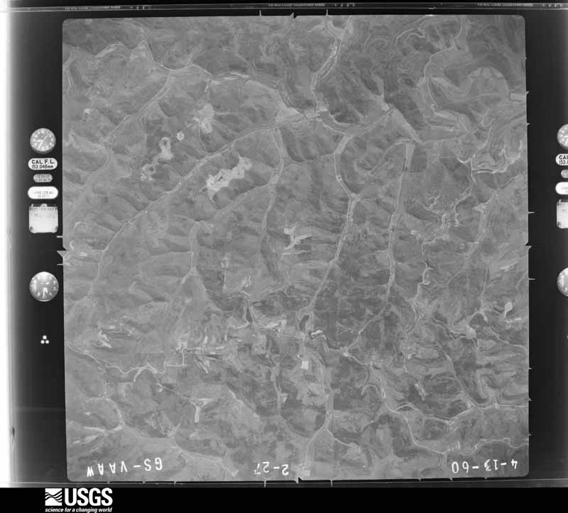
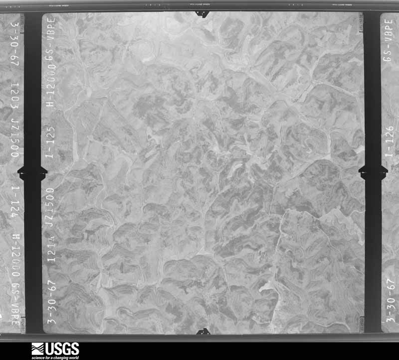
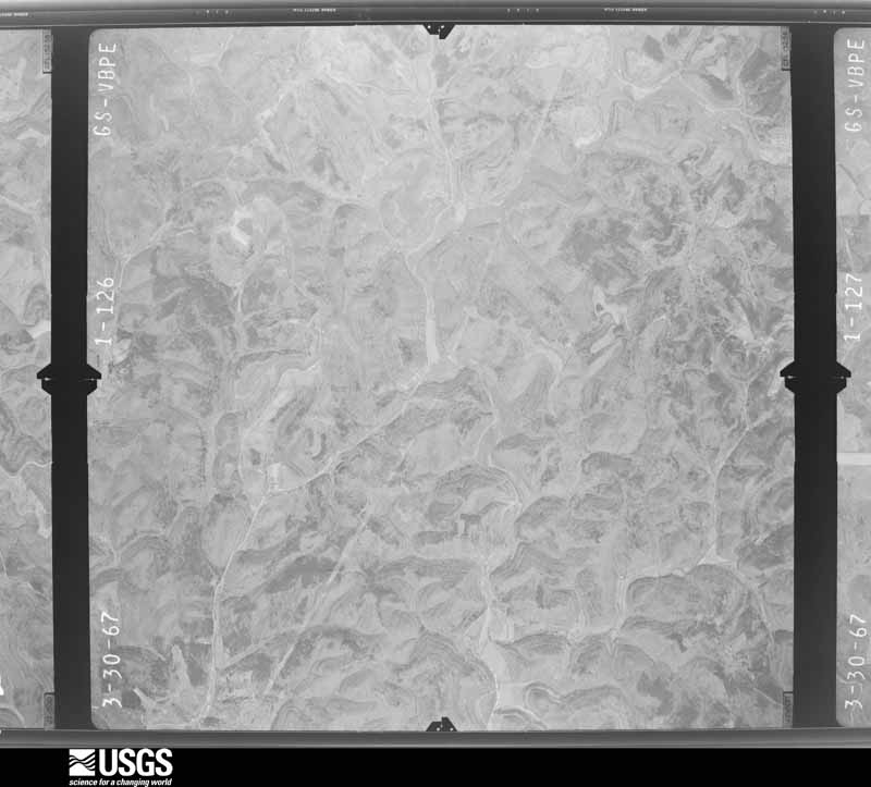
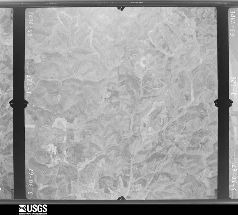
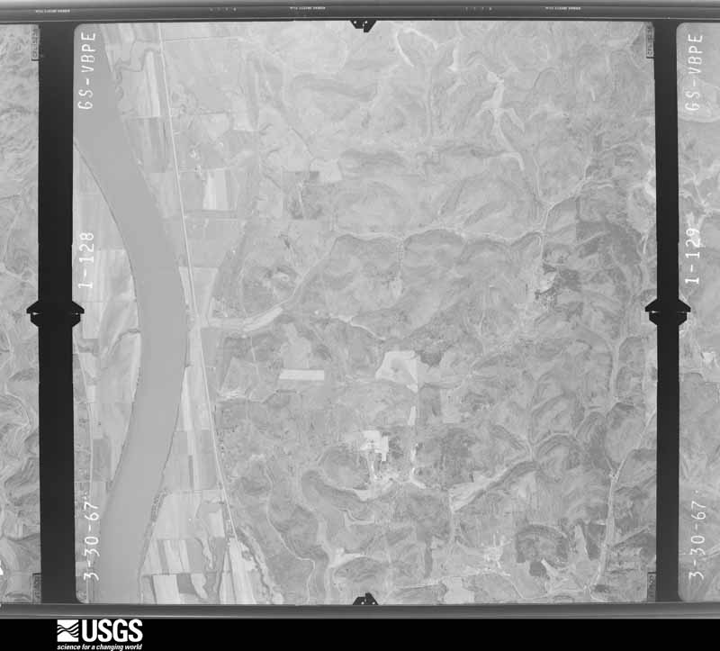
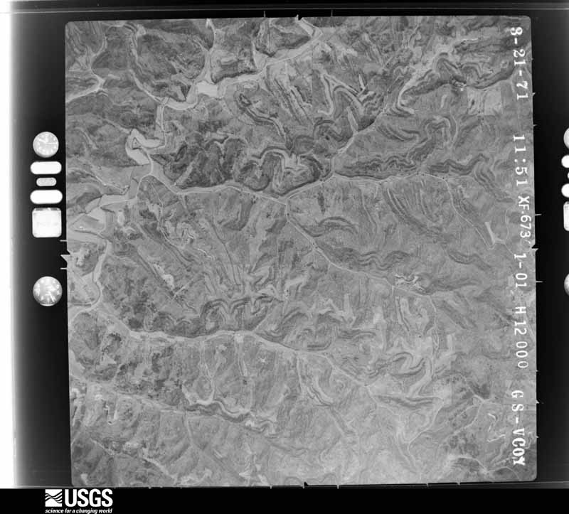
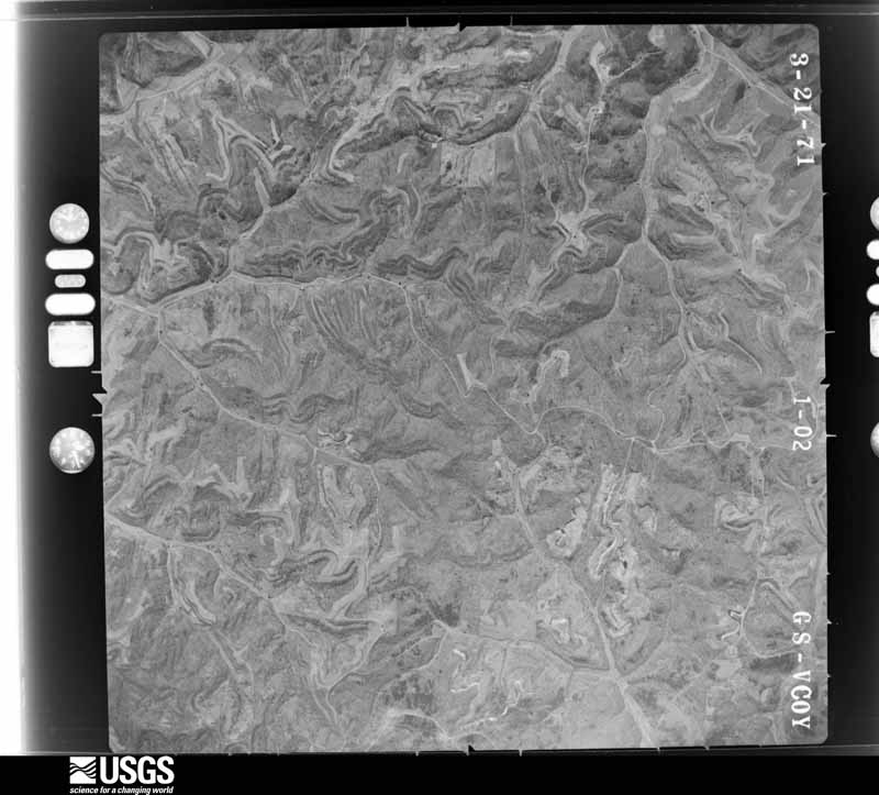
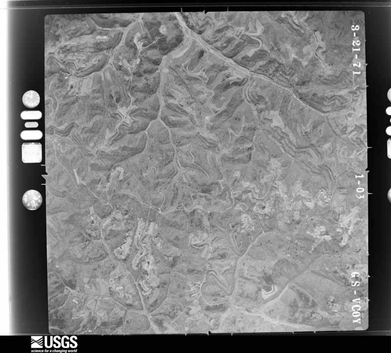
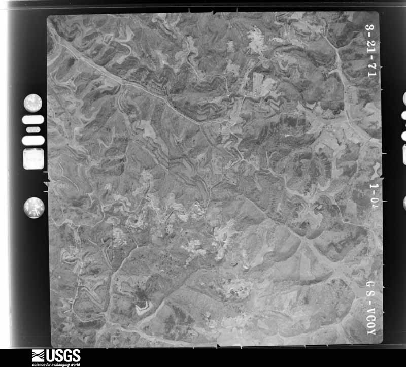
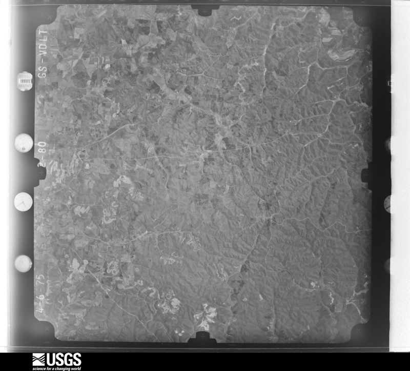
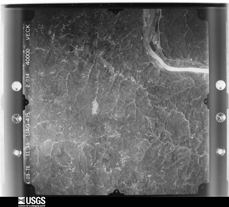
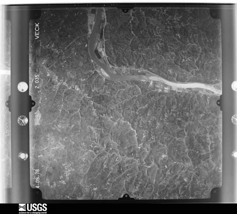
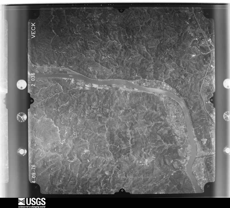
1952-03-20, scale 1:36000. U.S. Geological Survey aerial photograph.1952-03-20, scale 1:36000. U.S. Geological Survey aerial photograph.1952-03-20, scale 1:36000. U.S. Geological Survey aerial photograph.1952-03-21, scale 1:36000. U.S. Geological Survey aerial photograph.1956-03-21, scale 1:31000. U.S. Geological Survey aerial photograph.1956-03-21, scale 1:31000. U.S. Geological Survey aerial photograph.1956-03-21, scale 1:31000. U.S. Geological Survey aerial photograph.1956-03-21, scale 1:31000. U.S. Geological Survey aerial photograph.1959-02-25, scale 1:27000. U.S. Geological Survey aerial photograph.1959-02-25, scale 1:27000. U.S. Geological Survey aerial photograph.1959-02-25, scale 1:27000. U.S. Geological Survey aerial photograph.1959-02-25, scale 1:27000. U.S. Geological Survey aerial photograph.1960-04-13, scale 1:28000. U.S. Geological Survey aerial photograph.1960-04-13, scale 1:28000. U.S. Geological Survey aerial photograph.1960-04-13, scale 1:28000. U.S. Geological Survey aerial photograph.1960-04-13, scale 1:28000. U.S. Geological Survey aerial photograph.1967-03-30, scale 1:24000. U.S. Geological Survey aerial photograph.1967-03-30, scale 1:24000. U.S. Geological Survey aerial photograph.1967-03-30, scale 1:24000. U.S. Geological Survey aerial photograph.1967-03-30, scale 1:24000. U.S. Geological Survey aerial photograph.1971-03-21, scale 1:24000. U.S. Geological Survey aerial photograph.1971-03-21, scale 1:24000. U.S. Geological Survey aerial photograph.1971-03-21, scale 1:24000. U.S. Geological Survey aerial photograph.1971-03-21, scale 1:24000. U.S. Geological Survey aerial photograph.1972-09-19, scale 1:131000. U.S. Geological Survey aerial photograph.1975-04-06, scale 1:78000. U.S. Geological Survey aerial photograph.1975-04-06, scale 1:78000. U.S. Geological Survey aerial photograph.1975-04-06, scale 1:78000. U.S. Geological Survey aerial photograph.1975-04-06, scale 1:78000. U.S. Geological Survey aerial photograph.1976-04-01, scale 1:80000. U.S. Geological Survey aerial photograph.1976-04-01, scale 1:80000. U.S. Geological Survey aerial photograph.1976-04-01, scale 1:80000. U.S. Geological Survey aerial photograph.1976-04-01, scale 1:80000. U.S. Geological Survey aerial photograph.
Weather records
14 stations, 15 gages
The thermometers that kept this
county's weather, and the gages that watched its rivers, as the
federal records hold them. The extremes below are measured values
from those records, not estimates.
POINT PLEASANT1890 to 1954, hottest 41.1 C, coldest -32.2 C
THURMAN1893 to 1917, hottest 40.0 C, coldest -35.6 C
Who lived here in 1950, one enumeration
district at a time, as the Census Bureau described each district.
Each row opens its official National Archives result, with Population
Schedules and ED Maps available there.
27-1Addison township: Addison township - That part north of Champaign Creek
27-2Addison township - That part south of Champaign Creek
27-3Cheshire township: Cheshire township - That part north of State Hwy. 554 and west of State Hwy. 7
27-4Cheshire township - That part south of State Hwy. 554 and east of State Hwy. 7
27-6Clay township - That part outside Chambersburg village
27-7Gallipolis township: Gallipolis city: Gallipolis city - That part of Ward 1 Bounded by City limits; Ward line; Chickamauga Creek; Ohio River, City limits
27-8Gallipolis city - That part of Ward 1 Bounded by Chickamauga Creek; Ward line, Court; Ohio River (City limits); Chickamauga Creek
27-9Gallipolis city - That part of Ward 2 Bounded by Third Ave.; Olive; Ohio River (City limits); Cedar
27-10Gallipolis city - That part of Ward 2 Bounded by Third Ave.; Cedar; Ohio River (City limits); Court
27-11Gallipolis city - That part of Ward 3 Bounded by City limits; Ward line, Neil, Fourth Ave., Olive; Third Ave.; Spruce, Spruce extended
27-12Gallipolis city - That part of Ward 3 Bounded by City limits; Spruce extended, Spruce; Third Ave.; Court, Ward line
27-13Gallipolis city - That part of Ward 4 Bounded by City limits; City limits; Ohio River (City limits); Mill Creek Rd.
27-14Gallipolis city - That part of Ward 4, excluding Ohio Hospital for Epileptics Bounded by City limits; Mill Creek Road; Ohio River (City limits); Olive, Fourth Ave., Neil, Ward line
27-15Ohio Hospital for Epileptics (In Gallipolis city, Ward 4)
27-16Gallipolis township - That part outside Gallipolis city
27-17Green township: Green township - That part north of State Hwy. 141
27-18Green township - That part south of State Hwy. 141
27-32Raccoon township - That part outside Centerville and Rio Grande villages
27-33Springfield township: Springfield township - That part north and east of the Chesapeake and Ohio Railroad
27-34Springfield township - That part south and west of the Chesapeake and Ohio Railroad
27-35Walnut township: Walnut township - That part north of the section line from the northeast corner of section 24, Township 4 North, Range 16 West to the northwest corner of section 19, Township 4 North, Range 16 West
27-36Walnut township - That part south of the section line from the northeast corner of section 24, Township 4 North, Range 16 West to the northwest corner of section 19, Township 4 North, Range 16 West
Businesses named in the atlases
62 businesses
Every Sanborn volume opens with a printed index
naming the town's mills, tanneries, hotels and works by proprietor. Those
indexes were read off the scanned sheets by machine and then matched to each
other, so a business surveyed four times appears here once, with the years it
survived. 22 of these 62 were named in more than one atlas. Each carries a
crop of the line it was read from: the spelling is the recogniser's and the
1880s lithographer's, and the scan behind it is the proof.
Every wildfire the federal occurrence
database records inside this county: 789 of them, burning about
4,460 acres. 3 started naturally and 221 were
recorded as arson. Each settlement page carries the fires within five
miles of it.
Reported cause
Fires
Debris and open burning
311
Arson/incendiarism
221
Missing data/not specified/undetermined
168
Equipment and vehicle use
33
Smoking
15
Recreation and ceremony
10
Power generation/transmission/distribution
9
Misuse of fire by a minor
9
Other causes
6
Fireworks
4
Natural
3
The five largest, by the area the report
gives. Two of them were set deliberately.
Date
Cause
Size
Reported by
Name on the report
6 April 1999
Debris and open burning
201 acres
Wayne National Forest
DELOSS CREEK
1 March 2006
Arson/incendiarism
187 acres
Wayne National Forest
FIVE FORKS FIRE
31 March 2015
Missing data/not specified/undetermined
171 acres
Ohio Department of Natural Resources
ELLIOT ROAD
9 March 2000
Arson/incendiarism
170 acres
Wayne National Forest
MACEDONIA #2
11 March 2003
Missing data/not specified/undetermined
150 acres
Ohio Department of Natural Resources
CROWN CITY #1
11 April 1999
Power generation/transmission/distribution
119 acres
Wayne National Forest
SLAB FORK
11 March 2018
Debris and open burning
105 acres
Wayne National Forest
THIRTEEN
1 April 2018
Debris and open burning
103 acres
Ohio Department of Natural Resources
10886
Every settlement page carries the fires within five
miles of it - see the settlement index below.
Storms, 1968 to
2026
60 of 322 shown
The
NOAA Storm Events Database holds
322 reports for this county, causing 2 deaths,
21 injuries and about $18,380,650 in recorded property damage.
Each settlement page carries the reports that name it.
Kind of event
Reports
Thunderstorm Wind
129
Hail
82
Flood
52
Flash Flood
42
Tornado
8
Heavy Rain
6
Funnel Cloud
2
Lightning
1
The most serious of them, by death, then
injury, then recorded damage. The accounts are quoted exactly as the
forecast office filed them.
Multiple roads were closed across the county due to flooding, including State Route 325, State Route 233, and State Route 141. On the evening of the 14th, a 73 year old man drowned in the flood waters at the intersection of State Route 141 and German Ridge Road. The man drove his car into the high water and was overcome by the rushing water.
A man drowned along a swollen Racoon Creek and a low spot along Route 325 near the village of Vinton. Otherwise, county officials reported no flooding. ||According to a state report, the driver drove partially into water covering the road, but then backed out. This was at night. The driver then pulled into a nearby driveway and asked the property owner if he thought he could make it through the water. The property owner told the driver that if he could see the edge lines, he should be okay. The driver then proceeded to drive into the water, where his pickup truck was caught by the current and swept downstream. The driver was able to get out of his truck. The property owner ran over to try to help, offering a long stick to the driver, telling him to swim toward it. The driver was unable to make it. His body was recovered a few hours later.
A warm frontal boundary interacted with a complex of showers and thunderstorms to form a tornado on the southern flank of the precipitation. Touchdown was along Adamsville Road near Route 35. The roof was ripped off a home, 2 mobile homes were destroyed, along with a pole barn. The tornado then struck both rest areas on Route 35. The rest building on the north side of the highway was severely damaged. At least 2 tractor trailers were flipped over, while others parked in the lot, were damaged. Another mobile home near the rest stop was destroyed. Proceeding just east to Dewey Road, the tornado wiped a modular home off its foundation. A trailer was destroyed at the corner of Kerr and Viney Roads. Down Kerr Road, a home had its roof removed and a mobile home was moved off its foundation. On Fairview Road, another mobile home was damaged. What was amazing and fortunate, in just about all the cases, no one was home when the tornado struck. Three people were injured at the rest stop.
A woman was fishing along Racoon Creek off of Route 20 with her boyfriend and 4 year old child. Lightning hit a tree. A large branch hit the woman on the head. She suffered head and back injuries.
Scattered locations throughout the county had large trees and branches blown down. The most concentrated damage in Gallipolis appeared along 4th Avenue. Monuments were damaged in area cemeteries by fallen trees. Around 8,500 customers lost electricity. The public infrastructure damage assessment was around $639,000.
Many roads were flooded and closed. Damage occurred to some of those roads. Gravel roads became mud paths when the gravel was washed away. Culverts were unearthed and roads washed out. There were several water rescues from vehicles. The hardest hit area was around Centerville and Rio Grande. Basements were flooded in Gallipolis, with damage to furnaces.
Another round of thunderstorms fell over saturated soils. Near Patriot, another 2 inches of rain was measured. According to the Ohio Emergency Management Agency, 4 homes had minor damage. There was damage to county roads, culverts, and bridges.
Downpours were oriented northwest to southeast across Gallia County with the heaviest rain south of the Route 35 corridor. This included the Centenary area. Rains of 2.5 to 4 inches occurred between 1130E and 1330E. One automatic gauge near Northup measured 4.02 inches of rain in about 2 hours and 20 minutes. A gauge in Rio Grande measured 2.6 inches of rain.||Flash flooding occurred, centered on the Chickamauga Creek basin, including its Little Chichamauga tributary. Raccoon Creek also received much of the runoff from these downpours. Clear Fork, a small tributary to Raccoon Creek, flooded along the Router 141 corridor. This caused students from both Green Elementary School and Gallia Academy High School to be held after hours until the water receded from their access road. Urban runoff from paved surfaces quickly got inside convenience stores. Buildings in the 4H fairgrounds were flooded. The fast flowing water washed away small culverts, damaged roads, and private driveways. Basements were flooded. Vehicles were damaged by flood waters. One local farmer said he lived there his entire life and has never seen flooding like this. A woman at the University of Rio Grande said she had never seen anything like it, and it was horrible. ||Portions of several state routes were closed by flood waters, including Jackson Pike around the Holzer Medical Center and the 4H fairgrounds. Also along the Jackson Pike, water surrounded, but did not get inside about 30 mobile homes in the Park Lane trailer court. As the water was receding, state maintenance trucks used their snow plows to help push mud and debris off area roads.||Thankfully, there were no injuries according to Gallia County Sheriff Joe Browning. The Gallia County Emergency Management said besides the one business, there were 25 to 30 homes impacted, but no one contacted them for assistance.
A rain gauge near Vinton measured 2.8 inches of rain in less than 90 minutes. The Emergency Management Agency reported several roads inundated by high water. Water was 1 to 2 feet deep on Route 160. Water was up and around several mobile homes.
The tornado touched down near Burnette Road, then moved east across Hannan Trace Road, before dissipating east of Rocky Fork Road. In the vicinity of Hannan Trace Road, the tornado width was 150 yards and destroyed 3 barns. Wooden pieces of the barn, from 1 to 5 feet in length, became projectiles. The wood was scattered about the area, with some pieces wedged into the ground. The storm was rated as an F2 in this area. Elsewhere along its path, the tornado was weaker. Two homes received minor damage. Farm equipment and one truck were also damaged.
An EF1 tornado with maximum winds of 95 miles per hour first touched down along Hannan Trace Road about 3 miles northeast of Crown City. Several large hardwood trees were observed uprooted in a converging pattern within a narrow ravine at the 1650 block of Hannan Trace Road. This damage extended northeastward out of the ravine and onto the nearby hillside where some damage to barns occurred from fallen trees.||In addition, the roof and exterior walls of a wood frame commercial warehouse were blown off to the south of the path along Hannan Trace Road. Given the location of this particular damage and orientation, this likely occurred from rear flank downdraft winds. ||The exact start and end path to the tornado is unknown given the rural area with which it occurred and lack of a road network within the theoretical damage track.
Multiple thunderstorms dumped 2 to 3.75 inches of rain in less than 6 hours on terrain wet from rains the previous day. The cooperative observer at Gallipolis measured 3.73 inches. Water got into buildings in Thurman. The campground at the county fairgrounds outside of Gallipolis was evacuated.
The Ohio River at the R.C. Byrd Lock and Dam rose above its 50 foot flood stage on the evening of March 2nd. The river at this location crested at 51.23 feet around sunrise on the 3rd, and returned to its banks right after midnight on March 4th. ||Route 7, which runs parallel to the river, was flooded in several spots, including at Teens Run, Chickamauga Creek, Kyger Creek, Clay Chapel, Clay School, and just above Route 218. Portions of Gallipolis began to flood while the Ohio River was above its flood stage. The Spruce Street Chickamauga Creek Bridge was closed due to flooding of low areas around the bridge.
The small creek, a fork of Chickamauga Creek, running behind the Gallia County Fairgrounds flooded. This flooded sections of the fair grounds, including the barns. The fair was beginning the next day, and animal drop off had to be delayed to allow time to clean up.
Many small streams overflowed and closed roads on the 30th. Just 1 example was Dirtyface Creek flooded Route 233 near the community of Gallia. No structures were flooded.
The cooperative observer in Gallipolis measured 2.7 inches for the 24 hours, most of which fell in less than 2 hours.||Street flooding was seen, this included the intersection Route 558 with Bob McCormick Road.
The Survey's mineral resources record
lists 7 workings inside this county. 4 still
produce and 3 are closed or unrecorded. Each settlement
page carries the workings within five miles of it.
Commodity
Workings
Sand and Gravel, Construction
6
Stone, Crushed/Broken
1
Bituminous
1
The least common of them first, because a
county's hundredth gravel pit says nothing its first ten did not.
Museum specimens collected inside this
county and catalogued with a date and a place: 715 of them, by
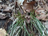
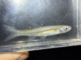
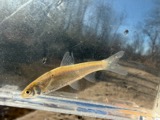
kingdom 451 animalia, 150 fungi, 100 plantae, 12 chromista, 2 unrecorded. Each is a physical object in a named collection, not a
sighting. Held by BPI, USNM, INHS, CM, Ohio State University - Fish Division, Columbus, OH (OSUM), Ohio State University - Amphibian Division, Columbus, OH (OSUM) among others, and each settlement page carries
the specimens collected near it.
The oldest of them. A specimen proves
something was collected on that day; its absence proves nothing.
Named settlements recorded in the Geographic Names
Information System, each with the topographic sheets covering it. Villages,
hamlets and abandoned places alike. Each is shown with the watercourse or
landform it stands on and the survey quadrangle it falls on. The 1
places that were also surveyed for fire insurance come first, with the
number of atlases and photographs held for them.
The complete index, with nothing left out.
Each of these is a separate record with its own page: a federal survey
report, or the case file that argued a property on to the National
Register. Both are public domain and reproduced word for word.
Topographic sheets. USGS Historical Topographic Map Collection, county index, measured from the bulk metadata.
Fire insurance maps. Library of Congress Sanborn collection, faceted to this county.
Photographs. Each place queried individually against the Library of Congress Prints and Photographs search.
Wildfire. Short, Karen C. 2022. Spatial wildfire occurrence data for the United States, 1992-2020 [FPA_FOD_20221014]. 6th Edition. Fort Collins, CO: Forest Service Research Data Archive. https://doi.org/10.2737/RDS-2013-0009.6 Collected with United States Government funding and usable without additional permissions or fees.
Specimens. Global Biodiversity Information Facility (GBIF), https://www.gbif.org/. Only records licensed CC0 or CC BY are used. Records licensed CC BY-NC are excluded because this site carries advertising. Images are checked individually and any whose licence is non-commercial, no-derivatives or unreadable is refused.
Mines and quarries. USGS Mineral Resources Data System (MRDS) https://mrdata.usgs.gov/mrds/ A work of the United States government, no copyright under 17 U.S.C. 105.
Storms. NOAA National Centers for Environmental Information, Storm Events Database https://www.ncei.noaa.gov/stormevents/ A work of the United States government, no copyright under 17 U.S.C. 105. Narratives are quoted verbatim from the National Weather Service report and are not edited or summarised.
 Block
Block
![[Map of W. Dall's lots in Athens County, Washington County, and Gallia County, Ohio], Boston Public Library - undated](assets/dpla_f40f88860d51649d.jpg)