 Block
Block
Gambier, Ohio
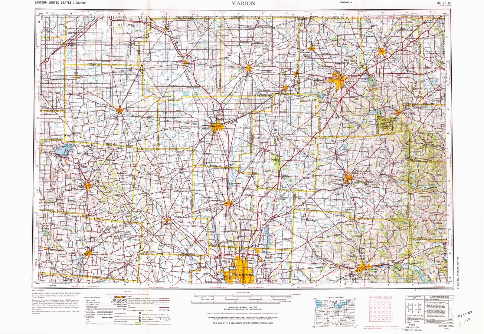
13 topographic sheets cover this place, the earliest surveyed in 1912 and the latest in 1966. It stands in College Township. It lies in ZIP code area 43022. It stands on Wolf Run. The Survey maps it on the Mount Vernon quadrangle. 2,213 people lived here at the 2020 count. It stands 1,079 feet above sea level.
Population over time
2 figuresGambier fell from 2,391 to 2,213 between 2010 and 2020. These are the recorded population figures Wikidata holds for this place, reached through the Geographic Names Information System number this page is keyed on rather than by name, so they belong to this place and not to another of the same name. Most are census counts, but not all are: an early figure may be a founding or settlement estimate. The change column is computed, and is left blank where more than 20 years separate a figure from the one before it, because a gap that long is not a change between two counts.
| Year | People | Change |
|---|---|---|
| 2010 | 2,391 | |
| 2020 | 2,213 | -178 (-7%) |
Then and now
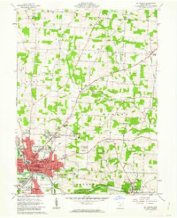
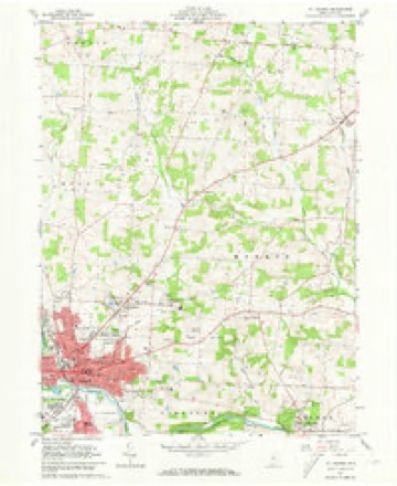
1912 to 1966The same ground, surveyed 54 years apart. Drag the handle to wipe between them. Both sheets are United States Geological Survey originals; neither has been altered.
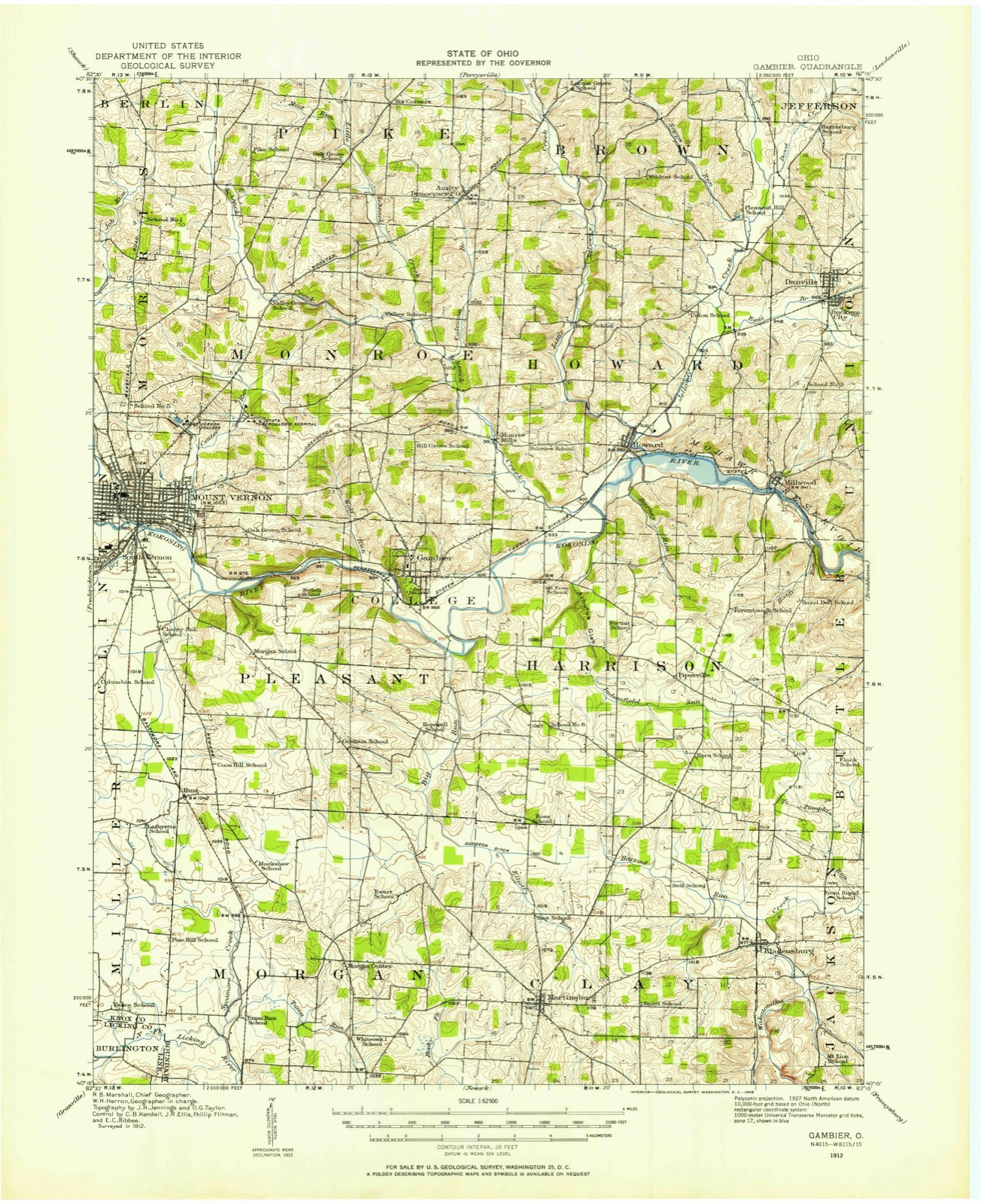
Topographic sheets covering this place
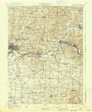
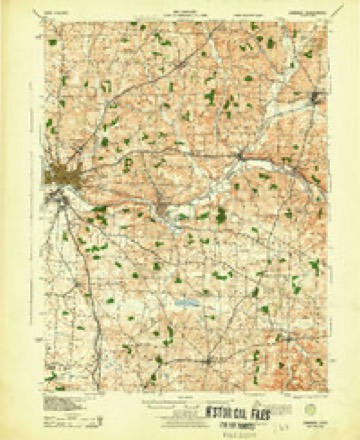
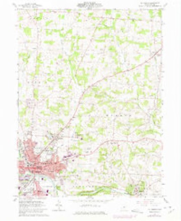
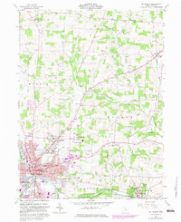
13 sheetsMatched by testing this settlement's coordinate against the published boundary of every sheet in the United States Geological Survey's historical collection. Each opens the scanned sheet at the Survey.
- 1912 USGS Gambier quadrangle1:62500
- 1912 USGS Gambier quadrangle1:62500
- 1914 USGS Gambier quadrangle1:62500
- 1943 USGS Gambier quadrangle1:62500
- 1950 USGS Marion quadrangle1:250000
- 1961 USGS Mt Vernon quadrangle1:24000
- 1961 USGS Mt Vernon quadrangle1:24000
- 1961 USGS Mt Vernon quadrangle1:24000
- 1961 USGS Mt Vernon quadrangle1:24000
- 1962 USGS Marion quadrangle1:250000
- 1966 USGS Marion quadrangle1:250000
- 1966 USGS Marion quadrangle1:250000
- 1966 USGS Marion quadrangle1:250000





In the county-history sources
43,686 words on this townshipA History of Knox County, Ohio, from 1779 to 1862 Inclusive; Comprising Biographical Sketches, Anecdotes .., published 1862; History of Knox County, Ohio, Its Past and Present, Containing a Condensed, Comprehensive History of Ohio, Including an Outline History of the Northwest; a Complete History of Knox County ... a Record of Its Soldiers in the Late War; Portraits of Its Early Settlers and Prominent Men ... Biographies and Histories of Pioneer Families, Etc, published 1881 names this settlement in its chapter on College Township. These are the passages that mention it, exactly as the scans read.
For many years he " ran the machine" of the Acland Press, and now resides at Mt. Yernon. The printing office was the gift of liberal-minded English Protestants to Bishop Chase in 1825, and received its name in lionor of Lady Acland, the fair donor who started the subscription. Upon this has been published various literary and religious articles calculated to advance the cause of learning and religion. The students of the College have at several periods projected publications of a literary character ; the last, the " Kenyon Collegian," a very creditable magazine, was continued for several years. The first store was called the Bishop's store, from having been commenced by Bishop Chase for the purpose of furnishing work hands witli necessary articles, and to supply the boys, so that no excuse could exist for going *' to town." This was carried on until in the fall of 1833 an arrangement was made with Mr. White, of Kew York, by which that business was to be entirely under his control, and M. and G. B. White thereupon located at Gambier. The former remains there, and the latter at this writing is one of the most valued citizens of Mt. Yernon. The Whites are natives of Derby, Ct. The " Bishop's store" was managed for many years by Bobert Burnside, until a short time before its discontinuance ^. W. Putnam had it in charge. The Whites continued in partnership until 1838, when T>. Topping and N. W. Putnam opened a store, and Daniel S. I^orton and A. G. Scott established another. Topping & Co., with A. J. Douglass, kept for a few years, when it was closed, and Mr. T. moved to Illinois ; Mr. P. is yet living on the hill ; Mr. Scott has uninterruptedly resided there, and by his close attention to business, in which for many years has been alone, has acquired a compe- tency. A. B. Norton for several years was engaged in tlie merchandizing and milling business at Gambler. At this time there are the two stores of A. G. Scott & Co., M. White & Co., and a drug in the boot and slioe line ; Russel Clark, Mr. Clements, A. K. Eobes and J. Waugli have carried on the tailoring. Mr. Sharp in early times was the brewer and baker, in a large stone house in the rear of the main College building, now obliterated by time's effacing finger. J. S. Sawer since 1837 lias supplied the students and liberal disposed with ice cream and yarieties, and many of the boys fed under the Dotheby regime gratefully remember the good cookery and pies of Mrs. Sawer. The hotel and boarding-houses have been kept by Douglass, Yore, Johnson, Bell, Witt, Sims, Riley, and Wright, the latter now holding forth in fine style. The old College mill erected by Bp. Chase many years ago went into decay, and at that seat Daniel S. Norton put up one of the finest mills on the river. The " Kenyon Mills" flour acquired a good reputation. The post-office, ui)on Bp. Chase's application, established in 1826, has been the greater part of its existence managed by that excellent public officer, M. T. C. Wing. About 1846, partisan violence, through the machinery of a county convention and central committee, brought about the appointment of Benoni Elliott, a student from the District of Columbia. In 1849, M. T. C. Wing was again appointed ; in 1853, James Young ; in 1857, E. Gr. Biley ; and in 1861, Joseph Leonard. The principal church is Bosse Chapel, bearing the name of its founder, Lady Bosse, eminent for piety and good works. It is a very neat and chaste stone edifice, situated in Harcourt Parish, named for like cause, and in the rear of the church is the beautiful cemetery where rest the dead of Gambler. The
Passage source: A History of Knox County, Ohio, from 1779 to 1862 Inclusive; Comprising Biographical Sketches, Anecdotes .., published 1862.
Chilton Craven. The Trustees are T>. L. Fobes, J. T. L. Jacobs, E. Clij)pinger, E. Penhorwood, G. J. W. Pearce. The Cumberland Presbyterians have preaching regularly at their church, one-half mile north of the Public Well. The Kev. Larrimore is the present minister ; J. Bennet and T. Minard, trustees. The various College buildings and matters of interest connected with them will appear under the appropriate head. Gambier is a beautiful little village, where those who desire to withdraw from the noise and bustle, the cares and vexations of the active world, can have a safe retreat. A more quiet and secluded spot cannot be found on this continent ; of the old residents on the hill, it may with truth be said :
Passage source: A History of Knox County, Ohio, from 1779 to 1862 Inclusive; Comprising Biographical Sketches, Anecdotes .., published 1862.
MORE than ten years prior to the organization of this territory into a separate township, it was in possession of the trustees of Kenyon college; and that famous institution, under the direction of Bishop Chase, was in course of erection. The land was owned by a non-resident, Mr. William Hogg, of Brownsville, Pennsylvania. This gentleman owned the northeast quarter of Pleasant (now College) township (four thousand acres), which was purchased by Bishop Chase for the college grounds.
Machine-read from a century-old scan, so expect the errors a machine makes: misspelled names, dropped words, stray characters.
Read the whole chapter on College Township - it names this place 51 more 51 times.
Photographs
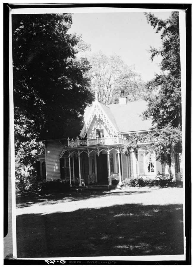
1 photograph,Taken for the Office of War Information and the Farm Security Administration, who photographed the country between 1935 and 1944. Works of United States government photographers, with no known restriction on use. Each opens its catalogue record.
Unattributed, . Library of Congress
Fires near this place
24 since 2005Regional context, not property-specific evidence. The federal wildfire occurrence database lists 24 fires within 5 miles of Gambier between 2005 and 2020, burning about 18 acres in total. None started naturally. 2 were recorded as arson. Distance is straight-line from the map coordinates, so a fire counted here may appear on a neighbouring settlement's page as well.
| Reported cause | Fires |
|---|---|
| Debris and open burning | 12 |
| Missing data/not specified/undetermined | 6 |
| Equipment and vehicle use | 3 |
| Arson/incendiarism | 2 |
| Power generation/transmission/distribution | 1 |
The most recent of them, most recent first, with the day each was reported and the service that recorded it.
| Date | Cause | Size | Reported by | Name on the report |
|---|---|---|---|---|
| 14 August 2020 | Debris and open burning | under an acre | Ohio Department of Natural Resources | 15810 |
| 20 July 2017 | Equipment and vehicle use | 3.0 acres | Ohio Department of Natural Resources | 8566 |
| 6 April 2020 | Debris and open burning | under an acre | Ohio Department of Natural Resources | 15611 |
| 6 April 2019 | Debris and open burning | under an acre | Ohio Department of Natural Resources | 15113 |
| 4 April 2020 | Debris and open burning | under an acre | Ohio Department of Natural Resources | 15583 |
| 28 April 2015 | Debris and open burning | 5.0 acres | Ohio Department of Natural Resources | 1089 |
| 20 April 2019 | Debris and open burning | under an acre | Ohio Department of Natural Resources | 15169 |
| 14 April 2005 | Equipment and vehicle use | under an acre | Ohio Department of Natural Resources | not named |
Settlements close enough to share some of these fires:
Specimens collected near this place
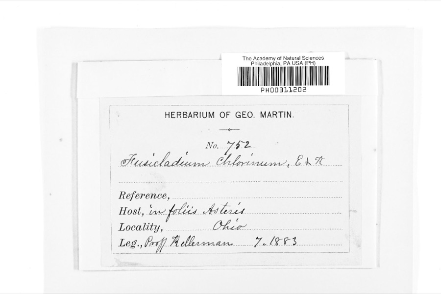
12 of 512 shownRegional context, not property-specific evidence. Museums hold 512 specimens collected within 10 miles of Gambier between 1877 and 1975: 456 Animalia, 33 Fungi, 22 Plantae, 1 Protozoa. 12 distinct Species records are shown. Collected by A. P. Morgan, Barker, C. G. Lloyd and others. Each is a physical object with a catalogue number, and each entry opens the museum's record. This is what was collected and kept, not a survey of what lives here - nothing can be concluded from a species being absent.
| Image | Species | Year | Collected by | Where, as recorded |
|---|---|---|---|---|
 | Fusicladium Bonord. | 1883 | W. A. Kellermann | |
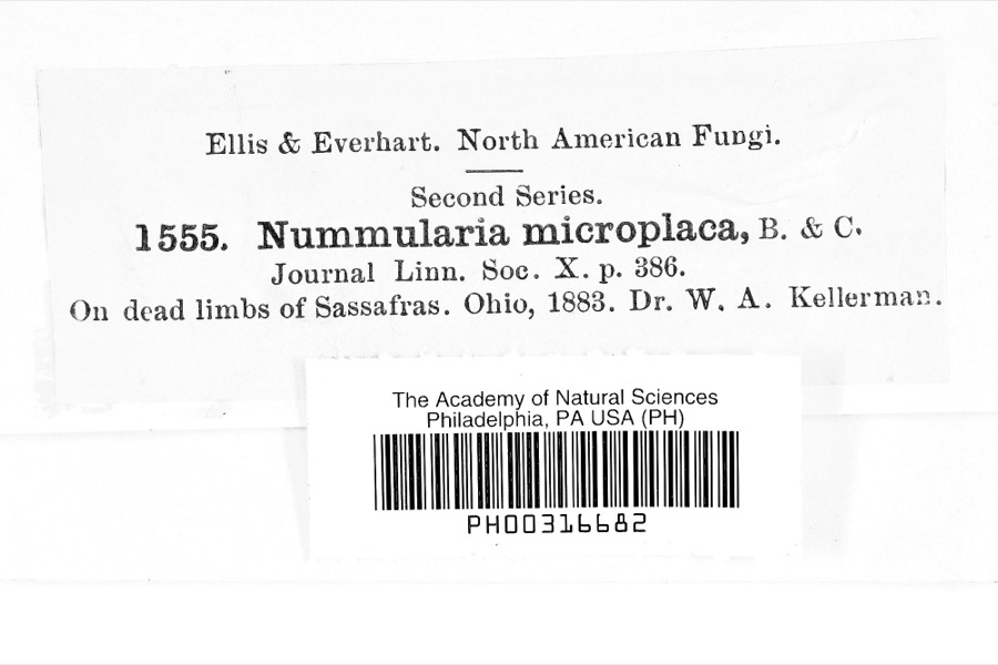 | Nummularia microplaca (Berk. & M.A.Curtis) Cooke | 1883 | Dr. W.A. Kellerman | |
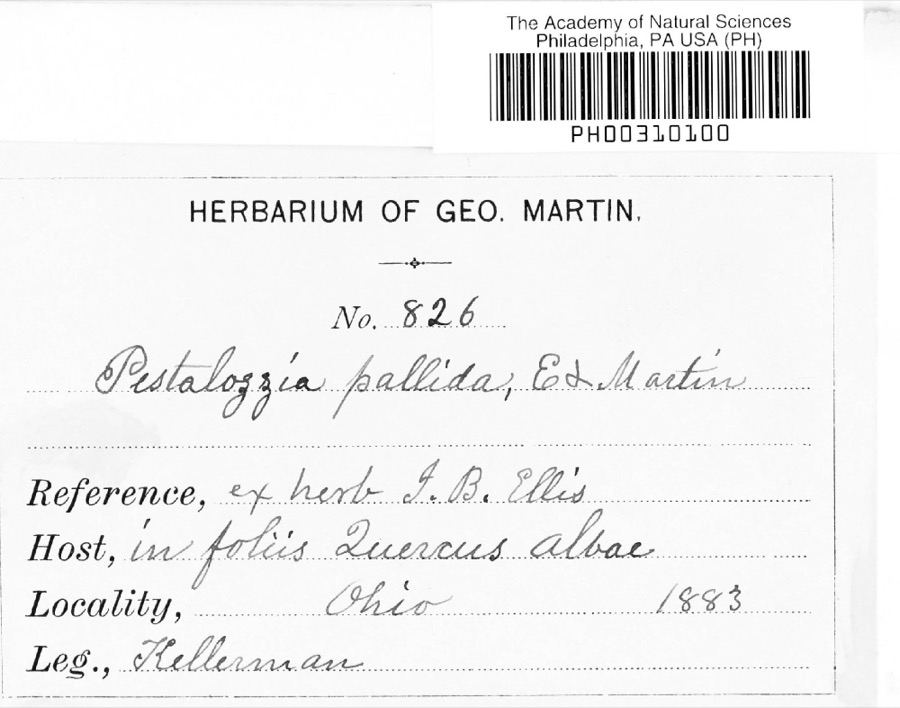 | Pestalotia De Not., 1841 | 1883 | W. A. Kellermann | No locality on label |
 | Sturnella magna magna (Linnaeus, 1758) | 1877 | not recorded | unspecified |
 | Accipiter striatus velox (A.Wilson, 1812) | 1879 | Willard L. Maris | |
 | Gallinula chloropus (Linnaeus, 1758) | 1879 | Porter, J.B. | |
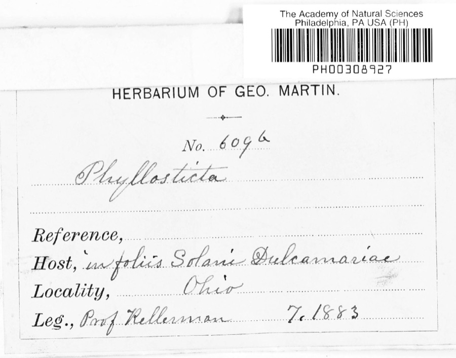 | Phyllosticta Pers., 1818 | 1883 | Kellerman | |
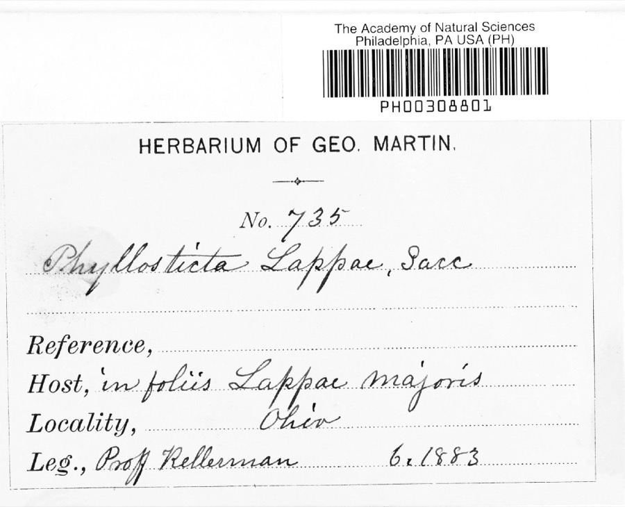 | Phyllosticta lappae Sacc. | 1883 | W. A. Kellermann | |
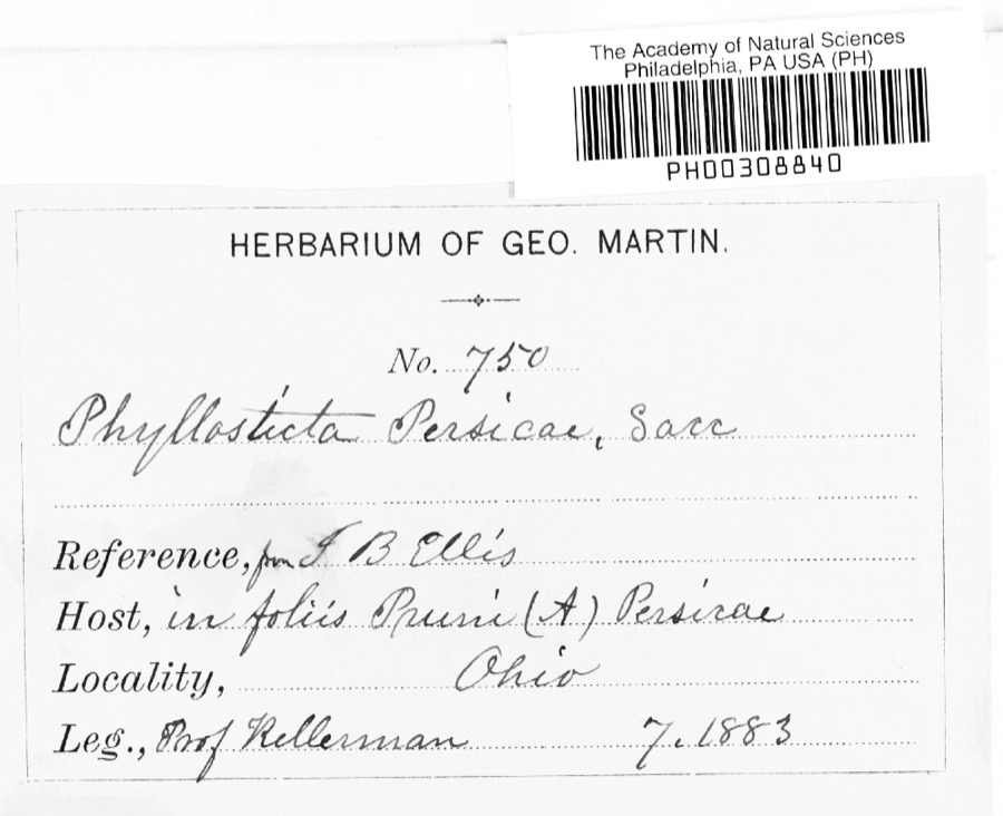 | Phyllosticta persicae Sacc. | 1883 | W. A. Kellermann | |
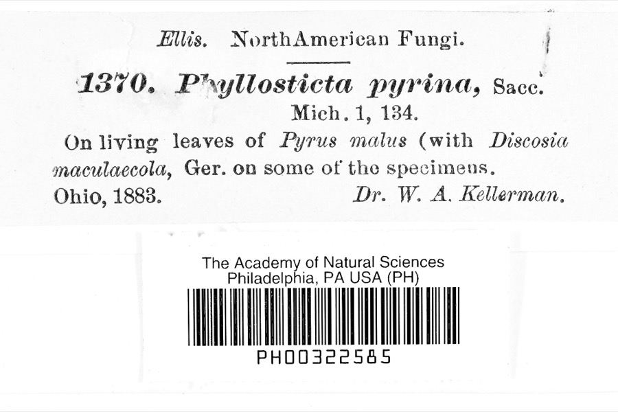 | Phyllosticta pyrina Sacc. | 1883 | Dr. W. A. Kellerman | |
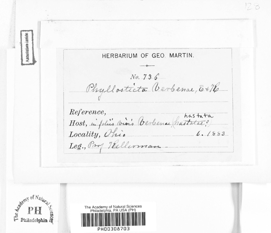 | Phyllosticta verbenae Sacc., 1879 | 1883 | Prof. Kellerman | |
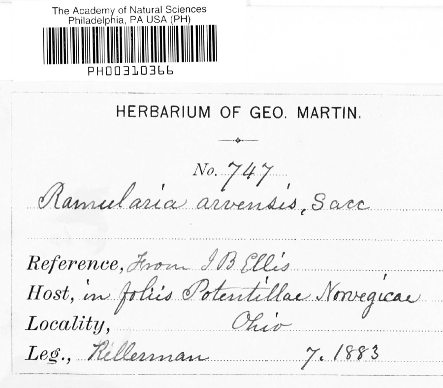 | Ramularia arvensis Sacc. | 1883 | Kellerman |
All 512 specimens within 10 miles, at the Global Biodiversity Information Facility.
Mines and quarries near this place
4 within 5 milesRegional context, not property-specific evidence. The federal mineral resources record lists 4 workings within 5 miles of Gambier: 2 past producers, 2 producers. 2 still produce. What was taken out: Sand and Gravel, Construction, Flagstone. Distance is straight-line from the map coordinates, so a quarry counted here may appear on a neighbouring settlement's page as well.
| Where | Site | Commodity | Status | Recorded |
|---|---|---|---|---|
| Briar Hill Martinsburg Pit | Flagstone | Producer | ||
| Darr and Hart Gravel Pit | Sand and Gravel, Construction | Past Producer | Sedimentary | |
| Goodwin Pit | Sand and Gravel, Construction | Past Producer | Sedimentary | |
| Sandusky Dock | Sand and Gravel, Construction | Producer |
Storms near this place
16 since 1995Regional context, not property-specific evidence. The National Weather Service names Gambier in 16 storm reports between 1995 and 2017: 13 thunderstorm wind, 3 hail. No death or injury is recorded in these reports. Each account below is quoted exactly as the forecast office filed it, from the NOAA Storm Events Database, and each date opens the federal record of that event.
| When | Event | Place named | Harm | What the report says |
|---|---|---|---|---|
| July 2017 | Thunderstorm Wind | Gambier | $125,000 | Thunderstorm downburst winds downed at least 50 trees across Knox County. Most of the trees were downed in the Gambier and Martinsburg areas. Scattered power outages were reported across the county. |
| November 2002 | Thunderstorm Wind | Gambier | $100,000 | Thunderstorm winds downed several trees and large limbs near Gambier. A home lost large sections of roof and siding. A barn nearby also lost a roof. Debris from the barn damaged a second home. |
| May 2002 | Thunderstorm Wind | Gambier | $50,000 | Thunderstorm winds downed at least 20 trees. |
| August 2004 | Thunderstorm Wind | Gambier | $40,000 | Thunderstorm winds downed several trees and large limbs. Power outages were also reported in Gambier. |
| August 2004 | Thunderstorm Wind | Gambier | $30,000 | For the second time in less than 15 hours, severe thunderstorms moved across the Gambier area. Many trees and large limbs were downed in and just south of the town. Scattered power outages resulted from the downed trees. |
| May 2013 | Thunderstorm Wind | Gambier | $10,000 | Thunderstorm winds downed several large tree limbs. |
| June 2004 | Thunderstorm Wind | Gambier | $10,000 | Thunderstorm winds downed several trees. |
| July 2001 | Thunderstorm Wind | Gambier | $10,000 | Thunderstorm winds downed two trees and a power pole. |
| May 2002 | Thunderstorm Wind | Gambier | $7,000 | Thunderstorm winds downed several trees. |
| May 2004 | Thunderstorm Wind | Gambier | $5,000 | Thunderstorm winds downed a few large tree limbs. |
| June 2010 | Thunderstorm Wind | Gambier | $3,000 | Thunderstorm winds downed a couple large trees. |
| February 2009 | Thunderstorm Wind | Gambier | $3,000 | A trained spotter estimated wind gusts to be approximately 75 mph. A tree was reported down across Township Road 52. |
| June 1995 | Thunderstorm Wind | Gambier | $3,000 | Trees were downed, some on power lines. |
| May 2014 | Hail | Gambier | - | Quarter sized hail was observed. |
| May 1998 | Hail | Gambier | - | no account filed |
| June 1998 | Hail | Gambier | - | no account filed |
Nearest settlements
The eight closest, with where each one stands in the county. Distances are straight-line, computed from the Geographic Names Information System coordinates.
| Map | Place | Distance | Sheets |
|---|---|---|---|
| Monroe Mills | 2.7 miles | 12 | |
| Vaughan Court | 3.5 miles | 13 | |
| Buckingham Court | 3.5 miles | 13 | |
| Fleaville (historical) | 3.8 miles | 13 | |
| Howard | 4.3 miles | 12 | |
| Academia | 4.6 miles | 13 | |
| North Mount Vernon | 4.7 miles | 13 | |
| Mount Vernon | 4.9 miles | 13 |
Elsewhere
Matched on this settlement's Geographic Names Information System number rather than its name, so it cannot be a different place of the same name in another state.
| Wikipedia article on Gambier | An encyclopaedic summary. Its text is share-alike, so it is linked here rather than copied. |
| Wikidata item Q2093658 | The structured record the population and elevation above come from. Public domain (CC0). |
Provenance
This settlement is recorded in the Geographic Names Information System as feature 1056293. The sheet list is computed by point-in-boundary test against the United States Geological Survey's historical topographic inventory. Both are works of the United States government and carry no copyright under 17 U.S.C. 105.
Wildfire. Short, Karen C. 2022. Spatial wildfire occurrence data for the United States, 1992-2020 [FPA_FOD_20221014]. 6th Edition. Fort Collins, CO: Forest Service Research Data Archive. https://doi.org/10.2737/RDS-2013-0009.6 Collected with United States Government funding and usable without additional permissions or fees.
Specimens. Global Biodiversity Information Facility (GBIF), https://www.gbif.org/. Only records licensed CC0 or CC BY are used. Records licensed CC BY-NC are excluded because this site carries advertising. Images are checked individually and any whose licence is non-commercial, no-derivatives or unreadable is refused.
Mines and quarries. USGS Mineral Resources Data System (MRDS) https://mrdata.usgs.gov/mrds/ A work of the United States government, no copyright under 17 U.S.C. 105.
Storms. NOAA National Centers for Environmental Information, Storm Events Database https://www.ncei.noaa.gov/stormevents/ A work of the United States government, no copyright under 17 U.S.C. 105. Narratives are quoted verbatim from the National Weather Service report and are not edited or summarised.