 Block
Block
Verona, Ohio
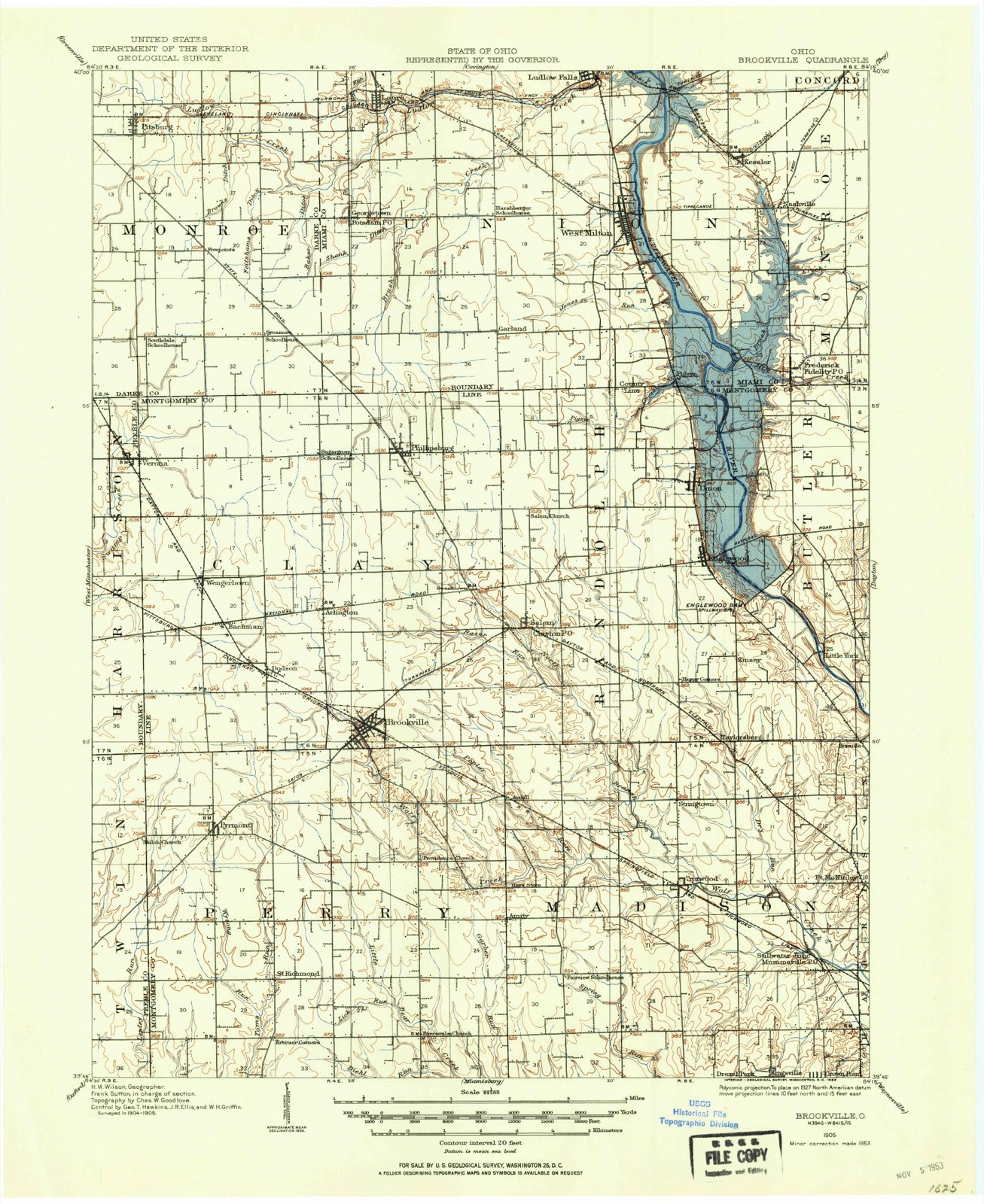
9 topographic sheets cover this place, the earliest surveyed in 1905 and the latest in 1986. It stands in Harrison Township. It lies in ZIP code area 45378. The Survey maps it on the Laura quadrangle.
Then and now
1905 to 1986The same ground, surveyed 81 years apart. Drag the handle to wipe between them. Both sheets are United States Geological Survey originals; neither has been altered.

Compare 1905 against another survey:
Topographic sheets covering this place
9 sheetsMatched by testing this settlement's coordinate against the published boundary of every sheet in the United States Geological Survey's historical collection. Each opens the scanned sheet at the Survey.
- 1905 USGS Brookville quadrangle1:62500
- 1953 USGS Cincinnati quadrangle1:250000
- 1953 USGS Cincinnati quadrangle1:250000
- 1953 USGS Cincinnati quadrangle1:250000
- 1957 USGS Cincinnati quadrangle1:250000
- 1961 USGS Laura quadrangle1:24000
- 1961 USGS Laura quadrangle1:24000
- 1986 USGS Dayton quadrangle1:100000
- 1986 USGS Dayton quadrangle1:100000






What happened here
An account from the chapter on Harrison township, The inset identifies its exact source book and publication year.
Colonel Samuel Kesler
The subject of this sketch was born in Rockingham county, Virginia, on the seventeenth day of May, 1792, and with his father, Jacob Kesler, who served as a soldier in the Revolution, emigrated to Preble county, Ohio, and settled on a farm about one mile south of Lewisburgh, in the year 1811. In the following year, 1812, reports having reached the settlements that the Indians were becoming troublesome, and that several families had been massacred near Greenville, Ohio, a company under Captain Fleming, in which he acted as a private, was sent out against them, but on arriving at their destination, they found that the Indians, after having murdered several persons, had fled.
In the county-history sources
88,539 words on this townshipHistory of Preble County Ohio, published 1881 names this settlement in its chapter on Harrison Township. These are the passages that mention it, exactly as the scans read.
Four creeks flow within the boundaries of this township, viz: Twin, Miller's fork, Swamp, and Price's. Twin crosses into Harrison from Monroe, near the northeastern corner. It flows along the western side of the township for several miles. Itthen flows nearly east through three sections and finally turns south again near Lewis- burgh. Millers fork and Swamp creek are strictly branches of Twin, but are of considerable size. The former rises a little north of the-dividing line of this township and Darke county. Both Miller's and Swamp flow into Twin creek about the same place, just east of Lewisburgh. Swamp creek rises near the village of Verona, in the northeastern part of this township, and was named Swamp from the character of the country through which it flowed. Price's creek crosses the township in the southwestern corner. It only remains in the township a short while, confining all its meanderings to one section, number thirty-one, and then passes on into Twin township. The creek takes its name from Major Price, one of the earliest settlers of Twin township, who located on the banks of this creek. All of these creeks afford good fishing, and, in Twin creek, some members of the finny tribe often reach the weight of four and five pounds. In earlier days these, with the game of the woods, must have formed an agreeable, and, often, a timely addition to the larder of the settler.
Passage source: History of Preble County Ohio, published 1881.
About this time Joseph Singer came into the settlement. He came on foot from Virginia, and camped with the Indians for a year or two. He afterwards settled on the west bank of 'Twin creek, on section thirty-four. His wife was Elizabeth Rape. He had thirteen children, all of whom lived to raise families. Two of his sons, John and Abraham, are now residents of Lewisburgh. John's present residence is on the site where his father built his first cabin, a litle affair about fourteen by eighteen feet.
Passage source: History of Preble County Ohio, published 1881.
William Wikle has been road commissioner, deputy sheriff, and tax collector, and has held every township office. He has also cleared up about one hundred acres of land and owns about the same amount; also two lots in town. At one time he owned about two hundred and forty acres. He has always been a prominent citizen and a hard working man. He had one son, Henry, who died in Jefferson barracks during the war of the Rebellion. He enlisted in an Illinois regiment. His brother, Lewis, was in the Ninety-third Ohio volunteer infantry, and saw three years of hard service under Sherman.
Passage source: History of Preble County Ohio, published 1881.
Machine-read from a century-old scan, so expect the errors a machine makes: misspelled names, dropped words, stray characters.
Read the whole chapter on Harrison Township - it names this place 27 more 27 times.
Specimens collected near this place
12 of 50 shownRegional context, not property-specific evidence. Museums hold 50 specimens collected within 10 miles of Verona between 1929 and 1970: 48 Animalia, 2 Plantae. 12 distinct Species records are shown. Collected by Klots, A.B., R. Rhoades, Robert Gray; Judith Kertesz and others. Each is a physical object with a catalogue number, and each entry opens the museum's record. This is what was collected and kept, not a survey of what lives here - nothing can be concluded from a species being absent.
| Image | Species | Year | Collected by | Where, as recorded |
|---|---|---|---|---|
 | Macrochilo absorptalis Walker, 1859 | 1929 | Klots, A.B. | Lewisburg |
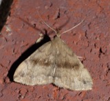 | Phalaenostola eumelusalis Walker, 1859 | 1929 | Klots, A.B. | Lewisburg |
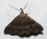 | Phalaenostola larentioides Grote, 1873 | 1929 | Klots, A.B. | Lewisburg |
 | Etheostoma zonale (Cope, 1868) | 1930 | Trautman, M. B. (Milton Bernard) & Foster, R. (Robert) | Twin Creek, within Harrison township, near Lewisburg, Harrison township |
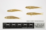 | Notropis deliciosus (Girard, 1856) | 1930 | Trautman, M. B. (Milton Bernard) & Foster, R. (Robert) | Twin Creek, within Harrison township, near Lewisburg, Harrison township |
 | Notropis rubellus (Agassiz, 1850) | 1930 | Trautman, M. B. (Milton Bernard) & Foster, R. (Robert) | Twin Creek tributary, within Harrison township, near Lewisburg, Harrison township |
 | Rhinichthys atratulus meleagris Agassiz, 1854 | 1930 | Trautman, M. B. (Milton Bernard) & Foster, R. (Robert) | Twin Creek tributary, within Harrison township, near Lewisburg, Harrison township |
| Allocapnia granulata (Claassen, 1924) | 1938 | Theodore H. Frison | Lewisburg, Ohio, Twin Rivers | |
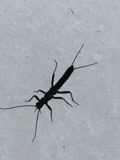 | Allocapnia vivipara (Claassen, 1924) | 1938 | T.H. Frison | |
 | Orconectes rusticus (Girard, 1852) | 1938 | R. Rhoades | Lowry Run, Sec. 10, Washington Township |
| Orconectes sloanii (Bundy, 1876) | 1938 | R. Rhoades | Lowry Run, Sec. 10, Washington Township | |
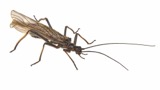 | Taeniopteryx burksi Ricker & Ross, 1968 | 1938 | T.H. Frison |
All 50 specimens within 10 miles, at the Global Biodiversity Information Facility.
Storms near this place
2 since 2004Regional context, not property-specific evidence. The National Weather Service names Verona in 2 storm reports between 2004 and 2013: 1 thunderstorm wind, 1 flood. No death or injury is recorded in these reports. Each account below is quoted exactly as the forecast office filed it, from the NOAA Storm Events Database, and each date opens the federal record of that event.
| When | Event | Place named | Harm | What the report says |
|---|---|---|---|---|
| May 2004 | Thunderstorm Wind | Verona | $3,000 | Numerous large limbs were downed. |
| December 2013 | Flood | Verona | - | Several road closures were reported mainly due to field water over roads caused by heavy rainfall. |
Nearest settlements
The eight closest, with where each one stands in the county. Distances are straight-line, computed from the Geographic Names Information System coordinates.
| Map | Place | Distance | Sheets |
|---|---|---|---|
| Georgetown | 2.9 miles | 8 | |
| West Sonora | 3.1 miles | 8 | |
| Euphemia | 4.4 miles | 8 | |
| Lewisburg | 4.9 miles | 8 | |
| Browns | 6.1 miles | 8 | |
| West Manchester | 7.5 miles | 9 | |
| Brennersville | 8.5 miles | 8 | |
| Eldorado | 10.0 miles | 9 |
Provenance
This settlement is recorded in the Geographic Names Information System as feature 1065434. The sheet list is computed by point-in-boundary test against the United States Geological Survey's historical topographic inventory. Both are works of the United States government and carry no copyright under 17 U.S.C. 105.
Specimens. Global Biodiversity Information Facility (GBIF), https://www.gbif.org/. Only records licensed CC0 or CC BY are used. Records licensed CC BY-NC are excluded because this site carries advertising. Images are checked individually and any whose licence is non-commercial, no-derivatives or unreadable is refused.
Storms. NOAA National Centers for Environmental Information, Storm Events Database https://www.ncei.noaa.gov/stormevents/ A work of the United States government, no copyright under 17 U.S.C. 105. Narratives are quoted verbatim from the National Weather Service report and are not edited or summarised.