 Block
Block
Yankeetown, Ohio
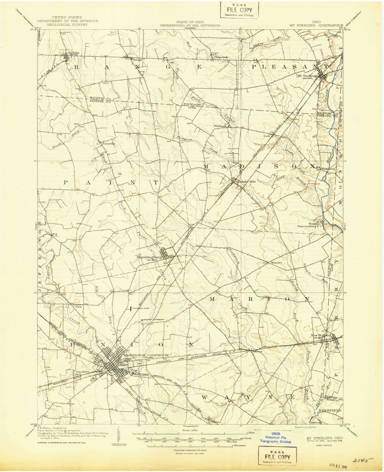
10 topographic sheets cover this place, the earliest surveyed in 1906 and the latest in 1986. It stands in Madison Township. It lies in ZIP code area 43143. It stands on Long Branch. The Survey maps it on the Mount Sterling quadrangle. It stands 843 feet above sea level.
Then and now
1906 to 1986The same ground, surveyed 80 years apart. Drag the handle to wipe between them. Both sheets are United States Geological Survey originals; neither has been altered.

Topographic sheets covering this place
10 sheetsMatched by testing this settlement's coordinate against the published boundary of every sheet in the United States Geological Survey's historical collection. Each opens the scanned sheet at the Survey.
- 1906 USGS Mt Sterling quadrangle1:62500
- 1947 USGS Columbus quadrangle1:250000
- 1961 USGS Columbus quadrangle1:250000
- 1961 USGS Mount Sterling quadrangle1:24000
- 1961 USGS Mount Sterling quadrangle1:24000
- 1962 USGS Columbus quadrangle1:250000
- 1967 USGS Columbus quadrangle1:250000
- 1967 USGS Columbus quadrangle1:250000
- 1986 USGS Springfield quadrangle1:100000
- 1986 USGS Springfield quadrangle1:100000







In the county-history sources
2,720 words on this townshipHistory of Fayette County, Ohio : Her People, Industries and Institutions, published 1914 names this settlement in its chapter on Madison Township. These are the passages that mention it, exactly as the scans read.
W^ages were very low and capital hard to accumulate, but, in a limited way, he was able to start in a Ijusiness of his own, which eventually led to his good circumstances in life. He died in 1871, having lived in and near Yankeetown many years. He had the misfortune to have to pay the debts contracted by others to the large amount of fifty-three thousand dollars. Yet at death he left a landed estate of thirteen hundred acres of highly cultivated land to his sons. He was a devout Methodist for twenty years. He was greatly missed by his community when called by death.
Passage source: History of Fayette County, Ohio : Her People, Industries and Institutions, published 1914.
Sometime prior to 181 5, William Morgan emigrated from Virginia and settled on land first leased and later purchased, on Duff's fork, in the Armstrong" sur\'ey. He was considered a wealthy man, owning eight hundred acres where he lived, a farm on the Big Darby, near Harrisburg, Franklin county, and another on Deer creek, one mile from Yankeetown. He made his wealth b}^ grazing cattle, which he drove to the Baltimore and Philadelphia markets. He died in 1855.
Passage source: History of Fayette County, Ohio : Her People, Industries and Institutions, published 1914.
The first store in Aladison township was opened by Adley Gregory, in 181 5, at Yankeetown, which he conducted until another w^as opened in 1825, a half mile north of Yankeetowai, on the Mt. Sterling road. John Johnson operated the last named store in one part of his dwelling. He continued in trade until his death, some six years later. About this date, for three years, near Yankeetown, Robert Leach conducted a general store. He was succeeded by others, the same stock changing hands frequently.
Passage source: History of Fayette County, Ohio : Her People, Industries and Institutions, published 1914.
Machine-read from a century-old scan, so expect the errors a machine makes: misspelled names, dropped words, stray characters.
Specimens collected near this place
12 of 77 shownRegional context, not property-specific evidence. Museums hold 77 specimens collected within 10 miles of Yankeetown between 1930 and 1965: 75 Animalia, 2 Plantae. 12 distinct Species records are shown. Collected by Charles O. Wingo Jr., H. Althearn, MB Trautman and others. Each is a physical object with a catalogue number, and each entry opens the museum's record. This is what was collected and kept, not a survey of what lives here - nothing can be concluded from a species being absent.
| Image | Species | Year | Collected by | Where, as recorded |
|---|---|---|---|---|
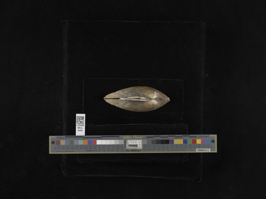 | Lampsilis radiata radiata (Gmelin, 1791) | 1965 | H. Althearn | Deer Creek, 3.8 Mile NNE Of Pancoastburg |
 | Erimyzon oblongus (Mitchill, 1814) | 1930 | MB Trautman | North Fork of Paint Creek, Center of Madison Twp |
 | Etheostoma nigrum Rafinesque, 1820 | 1930 | MB Trautman | North Fork of Paint Creek, Center of Madison Twp |
 | Etheostoma zonale (Cope, 1868) | 1930 | MB Trautman | North Fork of Paint Creek, Center of Madison Twp |
 | Fundulus notatus (Rafinesque, 1820) | 1930 | MB Trautman | North Fork of Paint Creek, Center of Madison Twp |
 | Hypentelium nigricans (Lesueur, 1817) | 1930 | MB Trautman | North Fork of Paint Creek, Center of Madison Twp |
 | Lepomis megalotis (Rafinesque, 1820) | 1930 | MB Trautman | North Fork of Paint Creek, Center of Madison Twp |
| Luxilus cornutus (Mitchill, 1817) | 1930 | MB Trautman | North Fork of Paint Creek, Center of Madison Twp | |
| Lythrurus ardens (Cope, 1868) | 1930 | MB Trautman | North Fork of Paint Creek, Center of Madison Twp | |
 | Micropterus dolomieu Lacepède, 1802 | 1930 | MB Trautman | North Fork of Paint Creek, Center of Madison Twp |
| Notropis amblops (Rafinesque, 1820) | 1930 | MB Trautman | North Fork of Paint Creek, Center of Madison Twp | |
| Notropis buccatus (Cope, 1865) | 1930 | MB Trautman | North Fork of Paint Creek, Center of Madison Twp |
All 77 specimens within 10 miles, at the Global Biodiversity Information Facility.
Nearest settlements
The eight closest, with where each one stands in the county. Distances are straight-line, computed from the Geographic Names Information System coordinates.
| Map | Place | Distance | Sheets |
|---|---|---|---|
| Cook | 2.5 miles | 10 | |
| Pancoastburg | 2.6 miles | 11 | |
| Madison Mills | 3.8 miles | 10 | |
| White Oak | 4.5 miles | 10 | |
| Manara | 4.7 miles | 11 | |
| West Holland | 7.5 miles | 11 | |
| Bloomingburg | 7.8 miles | 11 | |
| Johnson | 8.5 miles | 11 |
Elsewhere
Matched on this settlement's Geographic Names Information System number rather than its name, so it cannot be a different place of the same name in another state.
| Wikipedia article on Yankeetown | An encyclopaedic summary. Its text is share-alike, so it is linked here rather than copied. |
| Wikidata item Q8048800 | The structured record the population and elevation above come from. Public domain (CC0). |
Provenance
This settlement is recorded in the Geographic Names Information System as feature 1063105. The sheet list is computed by point-in-boundary test against the United States Geological Survey's historical topographic inventory. Both are works of the United States government and carry no copyright under 17 U.S.C. 105.
Specimens. Global Biodiversity Information Facility (GBIF), https://www.gbif.org/. Only records licensed CC0 or CC BY are used. Records licensed CC BY-NC are excluded because this site carries advertising. Images are checked individually and any whose licence is non-commercial, no-derivatives or unreadable is refused.