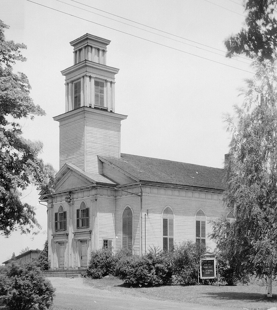
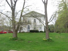
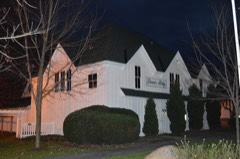
Built in 1831 in the Greek Revival architecture. Listed on the National Register of Historic Places in
1974. A historic map-sheet match is not published yet. The record needs a coordinate-quality review before it can be joined to a sheet boundary.
From the record
“Claridon Congregational Church is a historic church building on U.S. Route 322 in Claridon Township in Geauga County, Ohio.”
Wikipedia article Claridon Congregational Church, CC BY-SA 4.0.
one of 11 National Register listings in Geauga County · listed in 1974 · category: Building · built in 1831, Greek Revival architecture.
National Register reference number.74001503- the number the National Park Service assigned this property when it was listed, and the key its nomination file is catalogued under at the National Archives.
What happened here
An account from the chapter on Claridon township, The inset identifies its exact
source book and publication year.
Until most of the wild animals were killed or driven away, the men and boys had generally a good rifle, and knew how to use them in killing small game, such as squirrels, partridges, and turkeys. To mutilate their bodies subjected such hunters to ridicule as being "greenhorns." The bullets of experts took effect only on the head of their game.
The author of this history has lived on his farm in Claridon for sixty years, ever since Ohio became his adopted State, and being now eighty years of age, having gratuitously devoted much time in collecting materials for this history, and visited every family in the township that has resided in it long enough to become acquainted with its history, and knowing how every year increases the difficulty of reconciling different versions relating to past events, or obtaining correct dates; as his contemporaries in the trials, labors, and embarrassments attending a new settlement, partakers of each others joys and sorrows, of prosperity and adversity, health and sickness, are "sleeping that death that knows no waking," is solicitous to have the past history of the township published (imperfect as it is), before one of the last links in the chain of events connecting the past with the future - the dead with the living - shall be sundered; therefore, the author dedicates this township history to the present and future generations, in the hope that it may awaken a living and continuous sense of gratitude to the memories of those who came here to obtain homes for themselves and families, and that their children might inherit cultivated fields which they had redeemed from the primeval forest; buildings which they had erected; fruits which they had cultivated; flocks and herds which they had reared; enjoy the institutions, moral, social, educational, and religious, which they had created and cultured by self-sacrificing efforts, that posterity might know how to "honor those to whom honor is due," and with an appreciative spirit labor to sustain and perpetuate all such associations as shall, by the blessing of Almighty God, prove a rich inheritance to all future generations.
A glance at any accurate map will show the inaccuracy of the range lines between numbers six and seven, the eastern range line verging nearer as it runs north to its parallel western line, leaving Claridon only about four and threefourth miles in width on the north line of the township.
Regional context, not property-specific
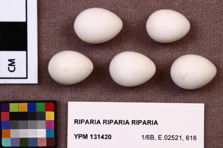
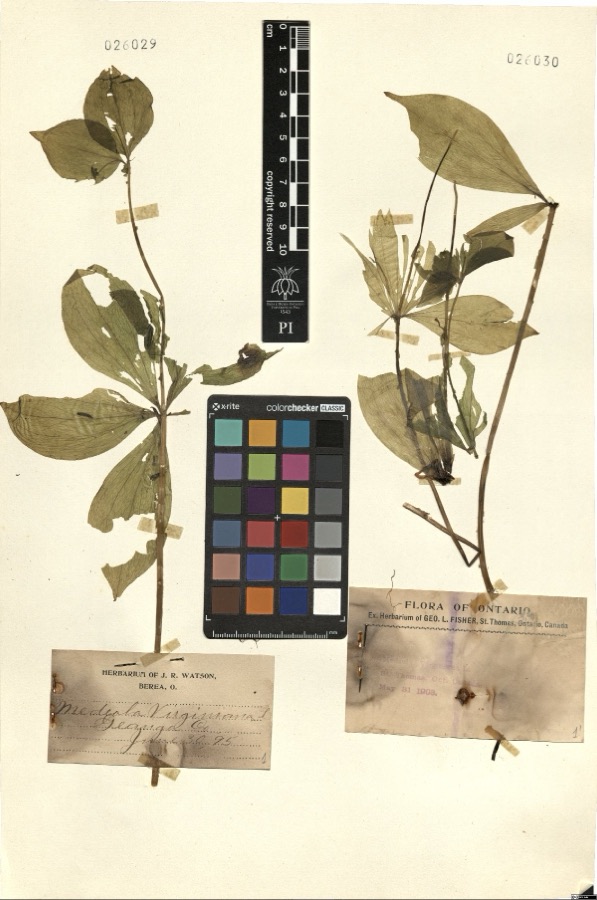
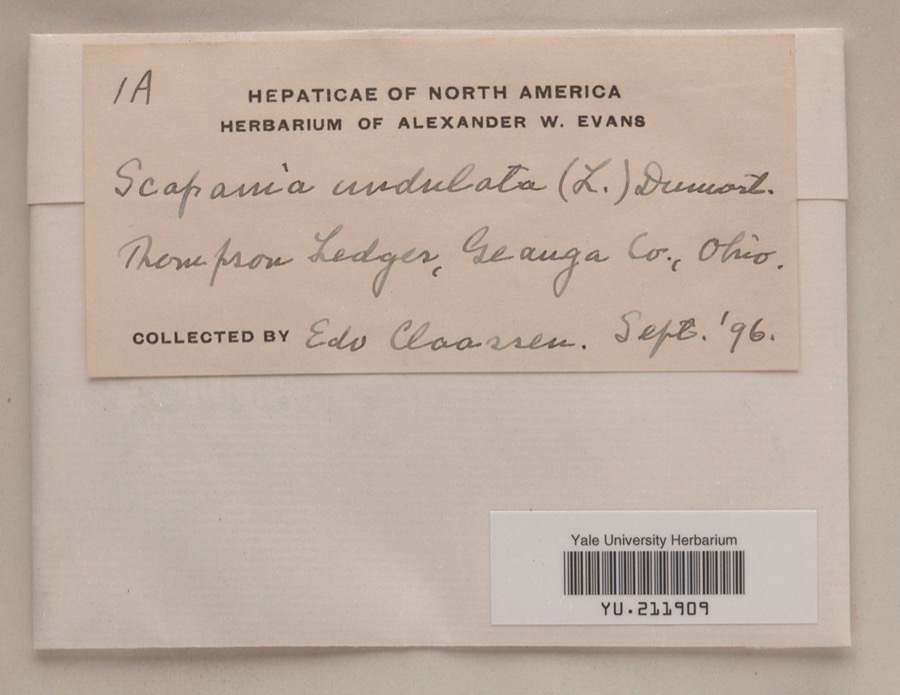
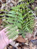
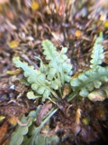
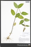
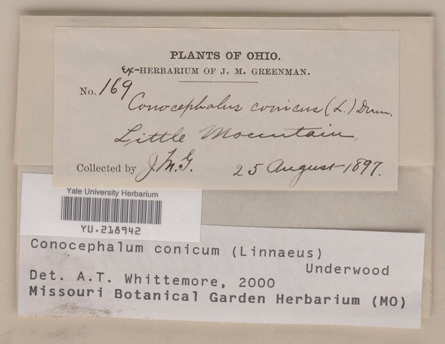
evidence. Museums hold 896 specimens
collected within 10 miles of Claridon Congregational Church between 1887 and
1975: 778 Animalia, 111 Plantae, 7 Fungi. 12 distinct Species records are shown.
Collected by A. M. Evans, A. N. Rood, A.E. Daugherty and others. Each is a
physical object with a catalogue
number, and each entry opens the museum's record. This is what was
collected and kept, not a survey of what lives here - nothing can be
concluded from a species being absent.
Regional context, not property-specific
evidence. The federal mineral resources record lists
2 workings within 5 miles of Claridon Congregational Church: 1 past producer, 1 plant.
1 still produces. What was taken out: Stone, Crushed/Broken. Distance is straight-line from the
map coordinates, so a quarry counted here may appear on a neighbouring
settlement's page as well.
Regional context, not property-specific
evidence. The National Weather Service names
Claridon, the town this property stands in, in 8 storm reports between 1997 and 2024: 7 thunderstorm wind, 1 hail.
No death or injury is recorded in these reports. Each account below is quoted exactly as the forecast office
filed it, from the NOAA Storm Events Database, and each date
opens the federal record of that event.
No historic map-sheet match is published
for this property yet. That does not mean no map exists. This record needs
a coordinate-quality review before it can be joined to a sheet boundary.
Browse the county's mapped places while that work is
pending.
Named in the fire insurance atlases
Sanborn surveyors printed an index of the
town's establishments at the front of each atlas. This property is named in
one, read straight off the scanned sheet.
When this property was proposed for the
National Register, someone wrote the case for it: what the building is,
and why it matters. That document is a federal record in the public domain.
It is quoted below word for word, never summarised. The text was read off the scanned case file by machine, so the
occasional stray character is the recogniser's and the 1970s
typewriter's.
Statement of significance
proportion and detail, together with its transitional design, make rare division of the entrance facade into two bays, instead of the and spring, and the building dedicated in 1832. The builder is but one can visualize the excellence of the design without MAR 2 1 1974 columns. 1831 them.
Engineering Commerce losophy Communications Architecture Conservation Transportation Landscape Industry Education Religion/Phi REGISTER Theater Prehistoric Military itarian Agriculture Music Literature NATIONAL Social/Human- Science Invention Aboriginal Political it architecturally significant.The most unusual feature is the frame was soon completed, the finishing done during the winter 1830.The actual construction began in the summer of 183l.The This church is widely recognized as one of the chief early Greek Urban Planning Sculpture The Congregational Church had been meeting ina schoolhouse when it was decided to make plans for a new church building in Art Revival monuments of the Western Reserve.Its excellence of RECEIVED usual uneven number of bays and even number of pilasters or unknown.The later Gothic arches do not detract from the appear- AREAS OF SIGNIFICANCE (Check One or More as Appropriate)
Quoted from the National Register nomination
for reference 74001503, 9 pages, held by the National Archives in Record
Group 79. See the
catalogue record.
Listed places nearby
6 within 8 miles
Other National Register properties close
enough to walk or drive between, ordered by distance from this one. Both
positions come from the same geocoding pass that matched these properties
to their map sheets.
Listing record. National Park Service National Register of Historic Places, listed-properties dataset, current to 2026-05-22.
Map join. Address geocoded through the United States Census geocoder, then tested against the published boundary of every sheet in the USGS Historical Topographic Map Collection.
How this page is made. Listing fields come from federal records; map-sheet coverage is a labelled coordinate-to-boundary calculation, not a source-field claim.
Specimens. Global Biodiversity Information Facility (GBIF), https://www.gbif.org/. Only records licensed CC0 or CC BY are used. Records licensed CC BY-NC are excluded because this site carries advertising. Images are checked individually and any whose licence is non-commercial, no-derivatives or unreadable is refused.
Mines and quarries. USGS Mineral Resources Data System (MRDS) https://mrdata.usgs.gov/mrds/ A work of the United States government, no copyright under 17 U.S.C. 105.
Storms. NOAA National Centers for Environmental Information, Storm Events Database https://www.ncei.noaa.gov/stormevents/ A work of the United States government, no copyright under 17 U.S.C. 105. Narratives are quoted verbatim from the National Weather Service report and are not edited or summarised.
 Block
Block