BlockBefore
Decorative drawing: a one-room schoolhouse with a bell cupola. Not a photograph of this place.

Pioneer School

Listed on the National Register of Historic Places in 2023. A historic map-sheet match is not published yet. The record needs a coordinate-quality review before it can be joined to a sheet boundary.

From the record

“Time worked partial reconciliation but the slumbering opposition of Zanesville was fanned into a living flame of political hatred by the rumor that the state convention of the Ohio Anti-Slavery Society was to assemble in the stone academy in May, 1839. Howells, an Englishman, engaged in tanning at Woodlawn avenue and Harrison street, and others, had made ethusiastic speeches before the convention, which the mob considered inflammatory, and the information was carried into the country, and hundreds of rural pro-slavery men came into Zanesville to reinforce the haters of the Abolitionists.”

Past and Present of the City of Zanesville and Muskingum County, Ohio (1905). Machine-read text.

one of 70 National Register listings in Muskingum County · listed in 2023 · category: Building.

Sources: the county history on the Internet Archive · the National Register database, National Park Service

The listing

  • What is counted as historic. The nomination lists 1 building as contributing to the listing.
  • Address. 952 East Main St., Zanesville, 43701
  • When was it listed? 2023-03-24
  • Category. building
  • Township. Zanesville city
  • National Register reference number. 100008741 - assigned by the National Park Service when the property was listed.

What happened here

An account from the chapter on Zanesville city, The inset identifies its exact source book and publication year.

From Past and Present of the City of Zanesville and Muskingum County, Ohio, published 1905 - Zanesville City

Hazlett Post, No. 81

was so named in honor of Captain John C. Hazlett, of 2d O. V. I., and his cousin, Harry Hazlett, of the 5th U.S. Artillery, both of whom were killed during the Civil war; the post was organized June 1, 1881, with the following officers: C. C. Goddard, post commander; M. V. B. Kennedy, senior vice commander; Wilson C.

Read the rest of this passage

The ground it stands on

74,764 words

The chapter on Zanesville City in Past and Present of the City of Zanesville and Muskingum County, Ohio, published 1905 names Zanesville. This is what it says, exactly as the scans read.

The first election for officers for the town of Zanesville was held April 2, 1814, and resulted in, the choice of William Craig, mayor; William Blocksom, recorder; Samuel Frazey, treasurer; Ezekial Bassett, appraiser; Peter Mills, George Reeve, Nathan C. Findlay and James Hampson, councilmen. Findlay refused to serve and John Hamm was chosen to fill the vacancy. The mayor-elect was an Irishman, and carpenter by trade, who came to the town in 1805, and with Thomas Moorehead erected the first Methodist church, in Second street; he was a devout Methodist and had the confidence of his neighbors, but had an insatiable ambition to hold public office; his elevation to the mayoralty caused him to aspire to gubernatorial honors and he became a candidate ; fifty-one votes were cast in his favor in Muskingum county, and none elsewhere, but he was ever after called '""Governor,'' and was pleased with the sobriquet. In 1817 he was appointed collector of county taxes and absconded with the money, located near St. Louis, where his wife joined him and where his investments in real estate made him very wealthy. His bondsmen were James' Mc- Guire, who was bankrupted; James Linder, who was nearly ruined; and James Herron and James Hampson, who were able to sustain the loss without injury.

Passage source: Past and Present of the City of Zanesville and Muskingum County, Ohio, published 1905.

July 2, 1819, the County Commissioners created Zanesville township, beginning on the Muskingum river on the line dividing the twelfth and thirteenth ranges; thence north to the military line; thence east to the line dividing the sixth and seventh ranges; thence north with said line to the line dividing the second townships of ranges six and seven; thence west to the Muskingum river and down it with the meanderings to the place of beginning. This tract embraces nearly all of what is now Wayne and Washington townships and the present city east of the river; Washington township was cut off June 5. 1822, and Wayne, \larch 6, 1826. Several amendments to the original act were made and March 19, 1850, an act was passed creating the city of Zanesville, which was to comprise so much of the county of Muskingum as was embraced within the limits of and designated in the records of the county as Zanesville township. The act divided the city into four wards, the east and west line of division being the center of the National road from the eastern boundary of the township to the intersection with the center of Fountain alley, and from that point with the center of the allev to the river; the north and south division line was the center of Cypress alley, from both sides of the city. The First ward was the southwest corner of the city as so divided: the Second ward, the northwest corner ; the Third ward, the southeast corner and the Fourth ward, the northeast corner. The mayor was to be

Passage source: Past and Present of the City of Zanesville and Muskingum County, Ohio, published 1905.

Machine-read from a century-old scan, so expect the errors a machine makes: misspelled names, dropped words, stray characters.

Read the whole chapter on Zanesville City - 74,764 words on its settlement, mills, schools and churches.

Fires near this property

60 since 2002

Regional context, not property-specific evidence. The federal wildfire occurrence database lists 60 fires within 5 miles of Pioneer School between 2002 and 2020, burning about 49 acres in total. None started naturally. 2 were recorded as arson. Distance is straight-line from the map coordinates, so a fire counted here may appear on a neighbouring settlement's page as well.

Reported cause Fires
Debris and open burning34
Power generation/transmission/distribution7
Equipment and vehicle use6
Missing data/not specified/undetermined5
Smoking3
Arson/incendiarism2
Recreation and ceremony2
Other causes1

The most recent of them, most recent first, with the day each was reported and the service that recorded it.

DateCause SizeReported by Name on the report
30 September 2019Debris and open burning1.0 acresOhio Department of Natural Resources15277
30 September 2019Debris and open burning1.0 acresOhio Department of Natural Resources15278
28 September 2019Equipment and vehicle useunder an acreOhio Department of Natural Resources15264
1 September 2019Debris and open burningunder an acreOhio Department of Natural Resources15236
6 July 2020Equipment and vehicle useunder an acreOhio Department of Natural Resources15772
2 July 2018Power generation/transmission/distribution1.0 acresOhio Department of Natural Resources12325
2 July 2018Power generation/transmission/distributionunder an acreOhio Department of Natural Resources12945
19 June 2018Power generation/transmission/distribution1.0 acresOhio Department of Natural Resources12326

Every fire recorded in Muskingum County

Specimens collected near this property

12 of 858 shown

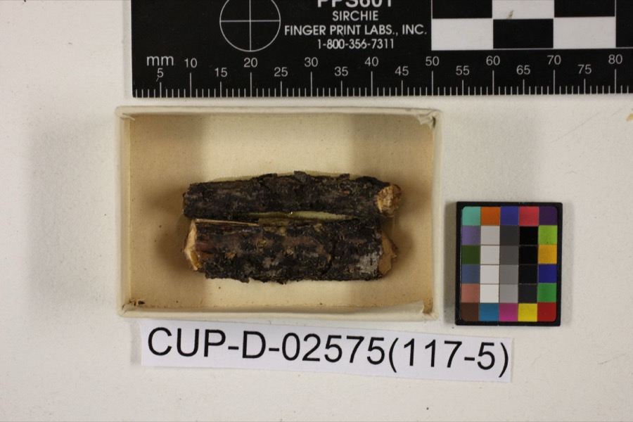
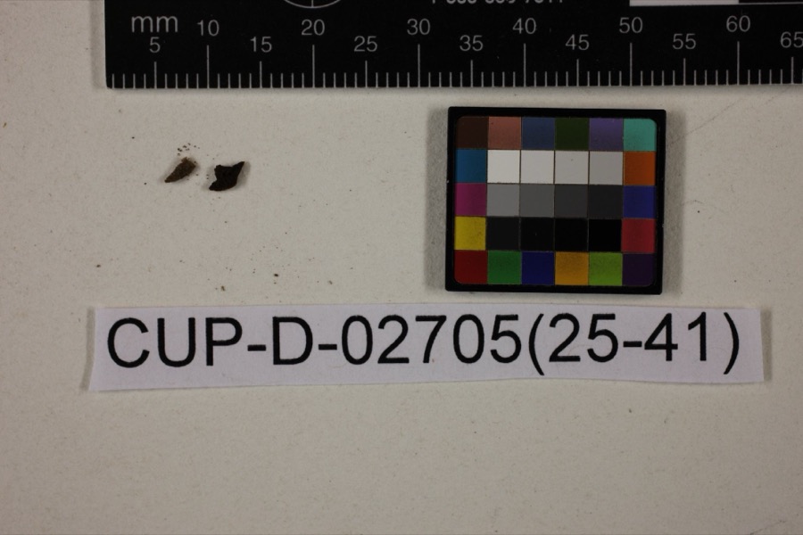
Regional context, not property-specific evidence. Museums hold 858 specimens collected within 10 miles of Pioneer School between 1873 and 1975: 737 Animalia, 96 Plantae, 15 Fungi, 5 Protozoa, 4 Unrecorded, 1 Chromista. 12 distinct Species records are shown. Collected by A.E. Miller, Adams, W. (William), Trautman, M. B. (Milton Bernard) et al., Adams, W. M. and others. Each is a physical object with a catalogue number, and each entry opens the museum's record. This is what was collected and kept, not a survey of what lives here - nothing can be concluded from a species being absent.

Image SpeciesYear Collected by Where, as recorded
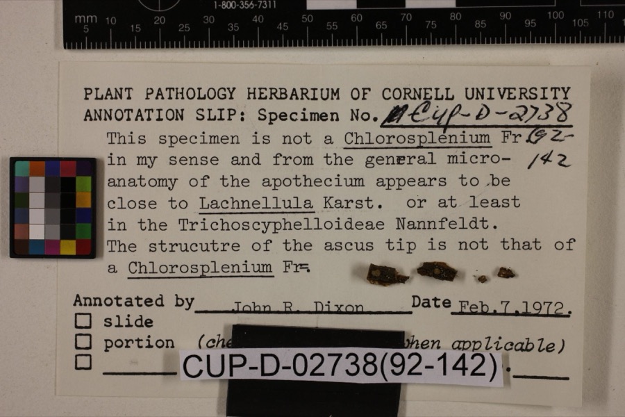
Specimen of Scleroderris rubra MorganScleroderris rubra Morgan1891Morgan, Andrew PricePreston
Specimen of Peziza nana Massee & MorganPeziza nana Massee & Morgan1895Morgan, Andrew PricePreston
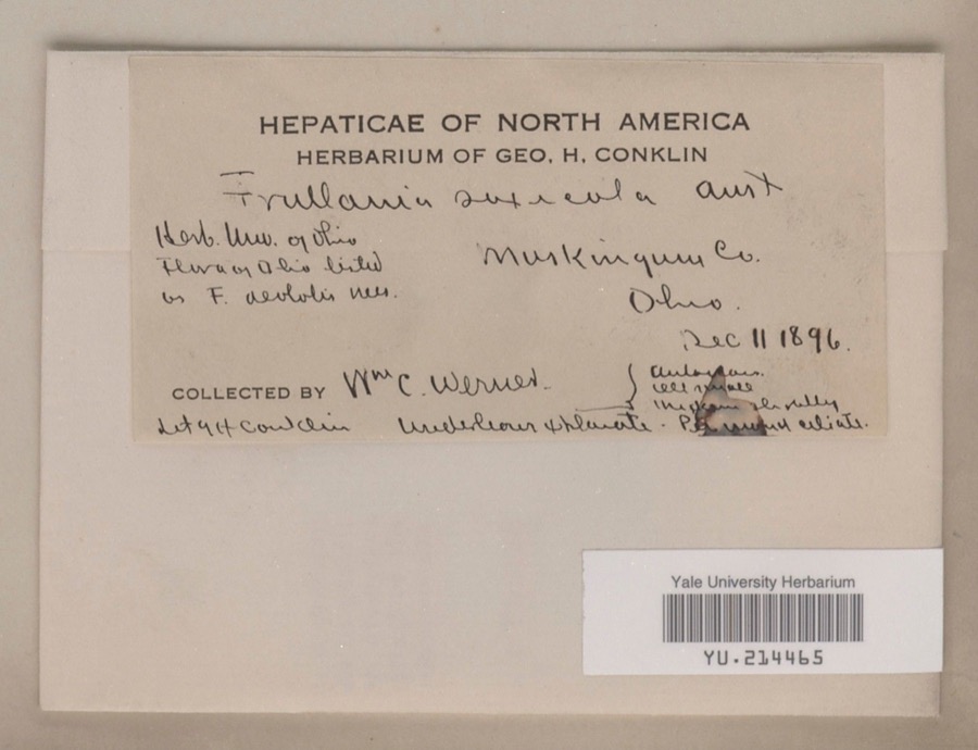
Specimen of Frullania saxicola AustinFrullania saxicola Austin1896William C. Werner
A photograph of the species Poa cuspidata, not of this specimenPoa cuspidata Nutt.1873W. M. CanbyZanesville.
A photograph of the species Frullania eboracensis, not of this specimenFrullania eboracensis Lehm.1890W. C. Werner
A photograph of the species Porella pinnata, not of this specimenPorella pinnata L.1891W. C. Werner
A photograph of the species Porella platyphylla, not of this specimenPorella platyphylla (L.) Pfeiff.1891W. C. Werner
A photograph of the species Fissidens adianthoides, not of this specimenFissidens adianthoides Hedw.1892W. C. WernerFultonham
A photograph of the species Lycogala exiguum, not of this specimenLycogala exiguum Morgan, 18931893Morgan A.P.Preston
Specimen of Lachnum viridulum Massee & MorganLachnum viridulum Massee & Morgan1905Morgan, Andrew PricePreston
Specimen of Peziza morganii MasseePeziza morganii Massee1905Morgan, Andrew PricePreston (The no longer extant town of Preston, Ohio, was located in Hamilton County in the Miami River drainage).
Tapesia derelicta Morgan1905Morgan, Andrew PricePreston

All 858 specimens within 10 miles, at the Global Biodiversity Information Facility.

Mines and quarries near this property

7 within 5 miles

Regional context, not property-specific evidence. The federal mineral resources record lists 7 workings within 5 miles of Pioneer School: 4 producers, 3 past producers. 4 still produce. What was taken out: Sand and Gravel, Construction, Iron. Distance is straight-line from the map coordinates, so a quarry counted here may appear on a neighbouring settlement's page as well.

Where SiteCommodity StatusRecorded
Armco Inc/ Zanesville, OhioIronProducer
Granite Plant PitSand and Gravel, ConstructionProducer
Muskingum R. Gravel Plant No 3 PitSand and Gravel, ConstructionPast Producer
Muskingum R. Plant No 1 Mine & MillSand and Gravel, ConstructionProducer
Plant Number 3 PitSand and Gravel, ConstructionPast ProducerSedimentary
Plant Number 4 PitSand and Gravel, ConstructionPast ProducerSedimentary
Salt Creek Materials Co.Sand and Gravel, ConstructionProducer

Every working recorded in Muskingum County

Storms near this property

60 of 113 shown

Regional context, not property-specific evidence. The National Weather Service names Zanesville, the town this property stands in, in 113 storm reports between 1994 and 2026: 62 thunderstorm wind, 26 hail, 17 flash flood, 5 flood. The reports record 1 death. Each account below is quoted exactly as the forecast office filed it, from the NOAA Storm Events Database, and each date opens the federal record of that event.

WhenEvent Place namedHarm What the report says
July 2012LightningZanesville1 killedA 60 year old man was struck and killed by lightning while standing under a tree.
February 2022FloodNorth Zanesville$100,000Heavy rain caused an Ice Jam Flood that resulted in the Muskingum backing up and flooding into homes along Riverside Airport road.
August 1999LightningZanesville$100,000Lightning struck a house, setting it on fire. The house was destroyed.
October 2010Thunderstorm WindZanesville$75,000Law enforcement reported trees and power lines down countywide.
November 2020Thunderstorm WindZanesville$50,000Numerous trees were reported to be blown down across the county.
June 2011Thunderstorm WindZanesville$50,000Emergency management reported trees and power lines down in Zanesville and around the county.
July 2002Flash FloodZanesville$50,000Thunderstorm rains of over two inches in one hour produced roadway flooding, trapping several motorists in their vehicles.
May 2008Thunderstorm WindZanesville$35,000Law enforcement reported trees down in Zanesville.
July 2013Thunderstorm WindZanesville$25,000Law enforcement reported trees down.
July 2012Thunderstorm WindZanesville$25,000The 911 center reported power lines down in Zanesville.
June 2011FloodNorth Zanesville$25,000Law enforcement reported flooding continued from earlier rains across several roads throughout the county.
November 2020Thunderstorm WindNorth Zanesville$20,000Trees were blown down and roof shingles were blown off of a house on County Route 146.
June 1998Thunderstorm WindZanesville$20,000Numerous trees blown down throughout the city of Zanesville from thunderstorm winds.
June 1998Tornado (F1)Zanesville$20,000no account filed
April 2011FloodZanesville$15,000Street flooding was reported in and around Zanesville.
April 2025Thunderstorm WindZanesville$10,000Numerous trees were reported down across the county, including a large tree that fell into a house.
July 2006Thunderstorm WindZanesville$10,000Numerous trees and power lines blown down along I-70.
August 2006Thunderstorm WindZanesville$10,000Many large trees and power lines down.
June 1998Thunderstorm WindZanesville$10,000Thunderstorm winds blew down four power poles and power lines just north of Zanesville. Several trees were also reported down across the eastern part of the county.
May 2006Thunderstorm WindZanesville$6,000Several trees down along Bagley Rd and Slack Rd.
March 2026Thunderstorm WindSouth Zanesville$5,000Trees were reported down in South Zanesville.
February 2022FloodSouth Zanesville$5,000Flooding was reported at the Southtown Cafe due to heavy rain.
May 2015Thunderstorm WindZanesville$5,000Local 911 center reported trees and power lines down on the south side of town.
June 2012Thunderstorm WindZanesville$5,000Trained spotter reported multiple trees down. Report relayed from the NWS in Wilmington OH.
August 2004Thunderstorm WindZanesville$5,000Trees down from Zanesville to Concord.
June 2002Thunderstorm WindZanesville$5,000Thunderstorm winds downed several large trees.
June 2002Thunderstorm WindZanesville$5,000Thunderstorm winds downed several large trees and power lines.
June 2002Thunderstorm WindZanesville$5,000Thunderstorm winds downed several trees and power lines.
September 1998Thunderstorm WindZanesville$5,000Thunderstorm winds downed several trees and power lines along Newark Road.
June 1997Thunderstorm WindZanesville$5,000Thunderstorm winds downed several trees and power lines throughout Muskingum County.
May 1997Thunderstorm WindZanesville$5,000Thunderstorm winds downed some small trees and large branches, some onto power lines, throughout the county.
June 1995Thunderstorm WindZanesville$5,000Street flooding was reported in and near Zanesville after 1.30 inches fell in 20 minutes. Large branches were downed east of Zanesville. One branch fell on a passing motorist's car. There was no mention of any injuries.
July 1994Thunderstorm WindZanesville$5,000Trees were downed.
October 2001Thunderstorm WindZanesville$5,000no account filed
May 1996Thunderstorm WindZanesville$5,000no account filed
July 1996Thunderstorm WindZanesville$5,000no account filed
December 2013Thunderstorm WindZanesville$3,000The public reported that shingles were blown off their home and a chimney blown down.
April 2003Thunderstorm WindZanesville$3,000Mobile down demolished by wind.
August 1999Thunderstorm WindZanesville$3,000Thunderstorm winds downed several trees.
June 2015Flash FloodNorth Zanesville$2,000One foot of water was reported flowing over Route 60.
July 2001Thunderstorm WindZanesville$2,000Thunderstorm winds downed a few trees.
July 1999Thunderstorm WindZanesville$2,000Thunderstorm winds downed a few large trees.
August 1998Thunderstorm WindZanesville$2,000no account filed
July 2024Thunderstorm WindZanesville$1,000A tree was blown down on to Fulton Street.
May 2018Thunderstorm WindZanesville$1,000The Muskingum County Emergency Manager reported wind damage in the vicinity of Zanesville High School.
July 2003Thunderstorm WindZanesville$1,000Trees down.
July 2003Thunderstorm WindZanesville$1,000Large trees down.
June 1995Thunderstorm WindZanesville$1,000Numerous trees were downed by thunderstorm winds.
June 2013Thunderstorm WindZanesville$500Law enforcement reported tree limbs down.
June 2024Thunderstorm WindSouth Zanesville-Power lines down across boat docks.
May 2022Thunderstorm WindZanesville-Large tree limbs were blown down.
June 2022Thunderstorm WindZanesville-Social media reports of power outages and trees down with second line of convection.
August 2022HailZanesville-Quarter sized hail reported near Zanesville.
August 2022Flash FloodZanesville-Locus Avenue in Zanesville was flooded near SR 60 from heavy rainfall.
June 2021Thunderstorm WindSouth Zanesville-An emergency manager reported several trees and power lines down, including in the vicinity of Fair Street and Maysville Pike.
August 2021Thunderstorm WindNorth Zanesville-Social media report of numerous large tree branches snapped.
June 2021Thunderstorm WindNorth Zanesville-Social media report of trees falling due to wind estimated at 60mph.
June 2021Thunderstorm WindNorth Zanesville-Social media report of downed lines on Country Club Road in Zanesville. Time estimated based on radar.
June 2021Thunderstorm WindZanesville-Fire department reported tree down on home on Norwood Blvd.
March 2020HailZanesville-Penny size hail reported by a trained spotter.

Every storm recorded in Muskingum County

Map coverage status

No historic map-sheet match is published for this property yet. That does not mean no map exists. This record needs a coordinate-quality review before it can be joined to a sheet boundary. Browse the county's mapped places while that work is pending.

Listed places nearby

6 within 8 miles

Other National Register properties close enough to walk or drive between, ordered by distance from this one. Both positions come from the same geocoding pass that matched these properties to their map sheets.

Photograph PropertyDistance Listed
Arlington Hotel0.1 miles1982
Clossman Hardware Store0.2 miles1980
Lilienthal Building0.2 miles1980
Smith, William R., House0.2 miles1982
St. John's Lutheran Church0.2 miles1982
Black-Elliott Block0.2 miles1979

Sources for this property

National Archives recordThe nomination case file for reference 100008741 in Record Group 79.
Muskingum CountyAll 70 listed properties in this county.

Provenance

  • Listing record. National Park Service National Register of Historic Places, listed-properties dataset, current to 2026-05-22.
  • Map join. Address geocoded through the United States Census geocoder, then tested against the published boundary of every sheet in the USGS Historical Topographic Map Collection.
  • How this page is made. Listing fields come from federal records; map-sheet coverage is a labelled coordinate-to-boundary calculation, not a source-field claim.
  • Wildfire. Short, Karen C. 2022. Spatial wildfire occurrence data for the United States, 1992-2020 [FPA_FOD_20221014]. 6th Edition. Fort Collins, CO: Forest Service Research Data Archive. https://doi.org/10.2737/RDS-2013-0009.6 Collected with United States Government funding and usable without additional permissions or fees.
  • Specimens. Global Biodiversity Information Facility (GBIF), https://www.gbif.org/. Only records licensed CC0 or CC BY are used. Records licensed CC BY-NC are excluded because this site carries advertising. Images are checked individually and any whose licence is non-commercial, no-derivatives or unreadable is refused.
  • Mines and quarries. USGS Mineral Resources Data System (MRDS) https://mrdata.usgs.gov/mrds/ A work of the United States government, no copyright under 17 U.S.C. 105.
  • Storms. NOAA National Centers for Environmental Information, Storm Events Database https://www.ncei.noaa.gov/stormevents/ A work of the United States government, no copyright under 17 U.S.C. 105. Narratives are quoted verbatim from the National Weather Service report and are not edited or summarised.