Listed on the National Register of Historic Places in
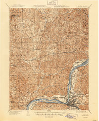
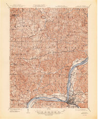
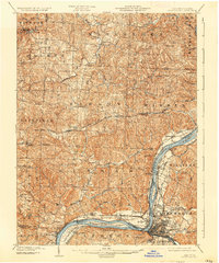
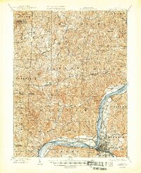
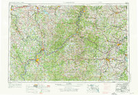
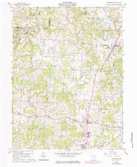
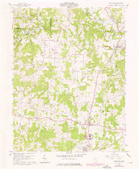
1980. 16 historic map sheets show this location, the earliest from 1902.
From the record
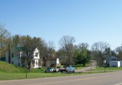
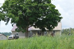
“The Simeon Deming House is a historic residence in western Washington County, Ohio, United States. Located along Kern Road northeast of the community of Watertown, the house was built circa 1815 as the residence of a veteran of the American Revolution.”
Wikipedia article Simeon Deming House, CC BY-SA 4.0.
one of 39 National Register listings in Washington County · listed in 1980 · category: BUILDING · significant for MILITARY; ARCHITECTURE; RELIGION · one of 1 National Historic Landmarks in Washington County.
Area of significance. MILITARY; ARCHITECTURE; RELIGION
Acreage. 4
Township. Watertown township
Architectural style. Federal architecture
National Register reference number.80003245- the number the National Park Service assigned this property when it was listed, and the key its nomination file is catalogued under at the National Archives.
Then and now
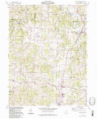
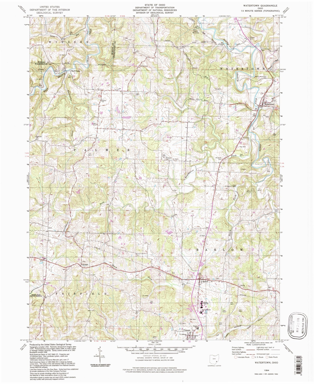
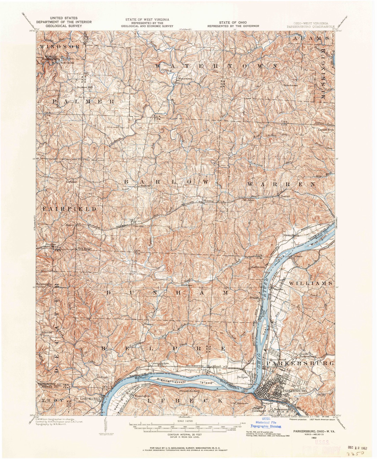
1902 to 1994
The ground this property stands on, surveyed
92 years apart. Drag the handle to wipe between them. Both sheets are
United States Geological Survey originals; neither has been altered.
19021994
The ground it stands on
18,496 words
The chapter on Watertown Township in History of Washington County, Ohio, published 1881 names Watertown. This is what it says, exactly as the scans read.
Watertown is chiefly drained by Wolf creek, the two branches of which unite in the northern part. The east branch, which rises in Warren township, takes almost a direct northward course in Watertown. The hills along its valley are not as abrupt as those in most other parts of the county. Back from the creek valley the surface is comparatively level except along the tributaries, where the hills reaching to the plain are steep, but not abrupt. The west branch flows into Watertown from Morgan county, and joins the east branch near the Waterford line. This stream flows alternately between regular and picturesque hills and through beautiful valleys, which spread out into fertile bottoms. The part of the township drained by the west branch is the most hilly and broken. Rainbow creek carries off the waters of the northeastern part of the township.
This township is generally finely situated for agricultural purposes, but the soil is not as fertile as that in some other portions of the county. The rock strata, by the disintegration of which soil is mostly formed, is shale and sandstone with very little limestone. The heavy stratum of limestone in the bed of the west branch of Wolf creek does not crop out anywhere on the hills, and can only be made available by artificial methods. A seam of slaty coal appears near the village of Watertown.
Regional context, not property-specific
evidence. The
federal wildfire occurrence database
lists 19 fires within 5 miles of Deming, Col. Simeon, House between
2013 and 2020, burning about 35 acres in total. None started naturally. None was recorded as arson.
Distance is straight-line from the map coordinates, so a fire counted
here may appear on a neighbouring settlement's page as well.
Reported cause
Fires
Debris and open burning
12
Missing data/not specified/undetermined
3
Equipment and vehicle use
2
Power generation/transmission/distribution
1
Smoking
1
The most recent of
them, most recent first, with the day each was reported and the service
that recorded it.
Regional context, not property-specific
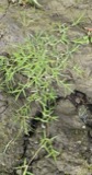
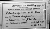
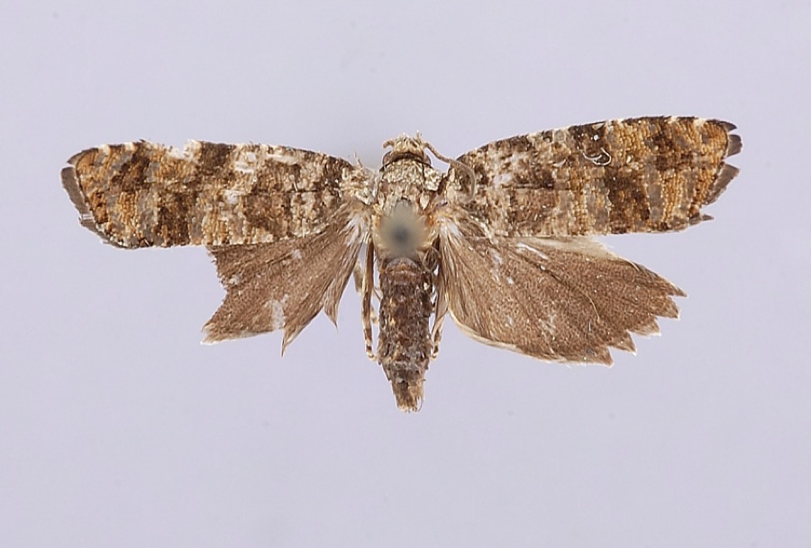
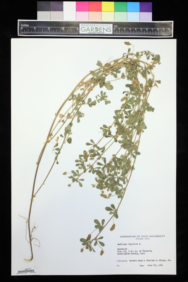
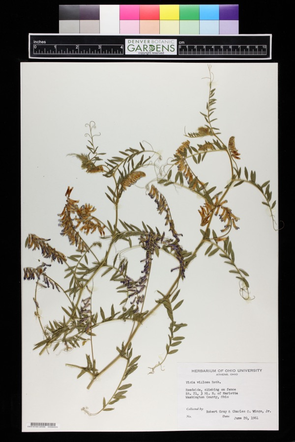
evidence. Museums hold 690 specimens
collected within 10 miles of Deming, Col. Simeon, House between 1888 and
1974: 653 Animalia, 32 Plantae, 5 Fungi. 12 distinct Species records are shown.
Collected by A. D. Selby, Adams, N.; Adams, S., Albaugh, D. W. (Douglas W.) and others. Each is a
physical object with a catalogue
number, and each entry opens the museum's record. This is what was
collected and kept, not a survey of what lives here - nothing can be
concluded from a species being absent.
Regional context, not property-specific
evidence. The National Weather Service names
Watertown, the town this property stands in, in 6 storm reports between 1994 and 2026: 3 hail, 2 thunderstorm wind, 1 lightning.
The reports record 2 injuries. Each account below is quoted exactly as the forecast office
filed it, from the NOAA Storm Events Database, and each date
opens the federal record of that event.
Two men were stuck by separate lightning bolts. One was in Muskingum Township, the other was from Waterford Township. They were treated and released from Marietta hospitals.
United States Geological Survey topographic
sheets whose coverage includes this point. Matched by geocoding the centre of Watertown, because the National Register records a descriptive location rather than a street address, then
testing that coordinate against the published boundary of every sheet.
When this property was proposed for the
National Register, someone wrote the case for it: what the building is,
and why it matters. That document is a federal record in the public domain.
It is quoted below word for word, never summarised. The text was read off the scanned case file by machine, so the
occasional stray character is the recogniser's and the 1970s
typewriter's.
Description of the property
The Simeon Deming House is a 24-story brick residence set on a foundation of are laid in Flemish bond. The house has a symmetrically-arranged facade, with two bays flanking a central door. The door itself is round-arched, with a fixed transom of brick and frame construction was added c.1926 by Fred Schweikert (1871-1953) a Watertown carpenter-builder. Prior to that time there was no front porch (see accompanying historic photo). At an earlier time, two additional structural units were affixed to the house: a lean-to wood frame structure on the left gable end, since razed, and a 1½-story structure on the right gable end.
Sometime prior to the 20th century the larger structure was moved across the road where it still stands, extended stone sills and are capped with 3 courses of flared gaged brick lintels, with a shake shingle structure, which was later replaced by the present metal roof. The date of construction. central stair rising from the front door and opening onto the second story through a broad semi-elliptical arch with delicate reeded molding. Original wide board floors are intact, as are the classically-proportioned mantles, six-panel doors, and plate & chair rails. Located in close proximity to the house are a series of utilitarian out- 1og dwelling at first, no trace of this structure remains. Condition date 7. Description ruins characteristic of the period.
Typical of the period, the house originally was roofed roof is constructed without a ridge indication of the house's early _ deteriorated tooled sandstone and featuring an original full basement. All of the bearing walls is located along the rear of the house. Fenestration features double-hung sash which were altered early on to level of the gable ends. All windows are set on calf house, and a brick smoke house.
(in one paragraph) wartime service. As the area began to grow, the need, among other things, for Architecturally, this house is significant as a rural example of the elite architecture was not unusual in more cosmopolitan Marietta or Harmar along the with its Flemish bond, fanlight, flared brick lintels, mantle pieces and semi- elliptical stair archway, is a deviation from the architectural norm of the times. 1800-1899 1500-1599 1700-1799 1600-1699 communications Period 1400-1499 Builder/Architect transportation music humanitarian art engineering theater politics/government literature agriculture c.1815 8. Significance 1900- Specific dates Presbyterian later became the First Presbyterian Church of Wooster.
architectural styles of the growing towns and villages of the Ohio country.Federal again in l78l in Capt.Herman Smith's company of Col.Collier's regiment during the invention (1763-1850)was a native of who enlisted in 1780 and (later Watertown), - landscape architecture * religion in Ohio, and as the home of a local Revolutionary War officer. Col. Simeon churches was felt, and in 1824 Simeon Deming was one of the organizers of the The Deming House is nominated as an intact example of early Federal architecture Acreage of nominated property c.
4 acres Quadrangle name Fleming, Ohio UMT References Verbal boundary description and justification Beginning at a point on the north side of Willis Road - state organization Ohio University-Zanesville date c 16 July, 1979 city or town The evaluated significance of this property within the state is: As the designated State Historic Preservation Officer for the National Historic Preservation Act of 1966 (Public Law 89 State Historic Preservation Officer signature county code 614-453-0762 Northing Zone Easting telephone national 11.
Quoted from the National Register nomination
for reference 80003245, 17 pages, held by the National Archives in Record
Group 79. See the
catalogue record.
Listed places nearby
5 within 8 miles
Other National Register properties close
enough to walk or drive between, ordered by distance from this one. Both
positions come from the same geocoding pass that matched these properties
to their map sheets.
Listing record. National Park Service National Register of Historic Places, listed-properties dataset, current to 2026-05-22.
Map join. Address geocoded through the United States Census geocoder, then tested against the published boundary of every sheet in the USGS Historical Topographic Map Collection.
How this page is made. Listing fields come from federal records; map-sheet coverage is a labelled coordinate-to-boundary calculation, not a source-field claim.
Wildfire. Short, Karen C. 2022. Spatial wildfire occurrence data for the United States, 1992-2020 [FPA_FOD_20221014]. 6th Edition. Fort Collins, CO: Forest Service Research Data Archive. https://doi.org/10.2737/RDS-2013-0009.6 Collected with United States Government funding and usable without additional permissions or fees.
Specimens. Global Biodiversity Information Facility (GBIF), https://www.gbif.org/. Only records licensed CC0 or CC BY are used. Records licensed CC BY-NC are excluded because this site carries advertising. Images are checked individually and any whose licence is non-commercial, no-derivatives or unreadable is refused.
Storms. NOAA National Centers for Environmental Information, Storm Events Database https://www.ncei.noaa.gov/stormevents/ A work of the United States government, no copyright under 17 U.S.C. 105. Narratives are quoted verbatim from the National Weather Service report and are not edited or summarised.
 Block
Block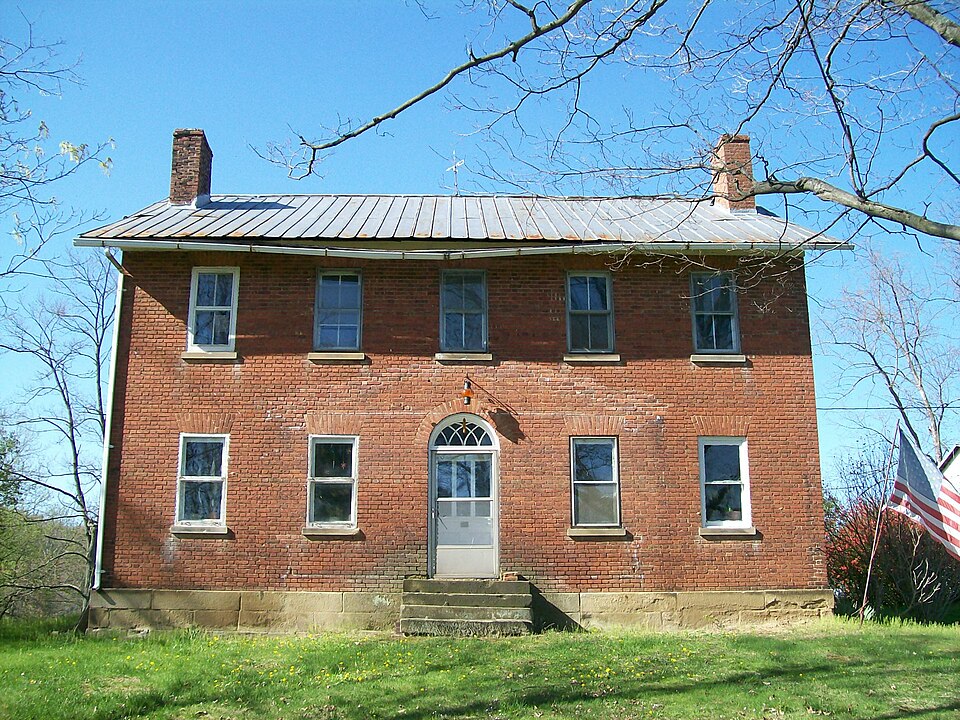

.jpg)