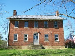
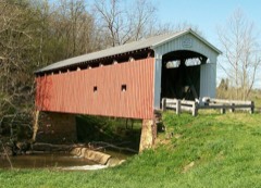
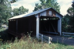
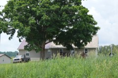
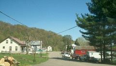
Listed on the National Register of Historic Places in
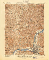
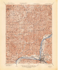
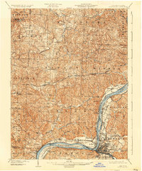
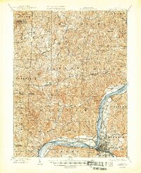
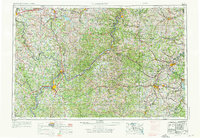
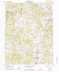
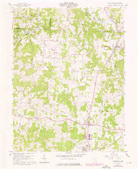
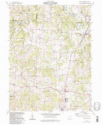
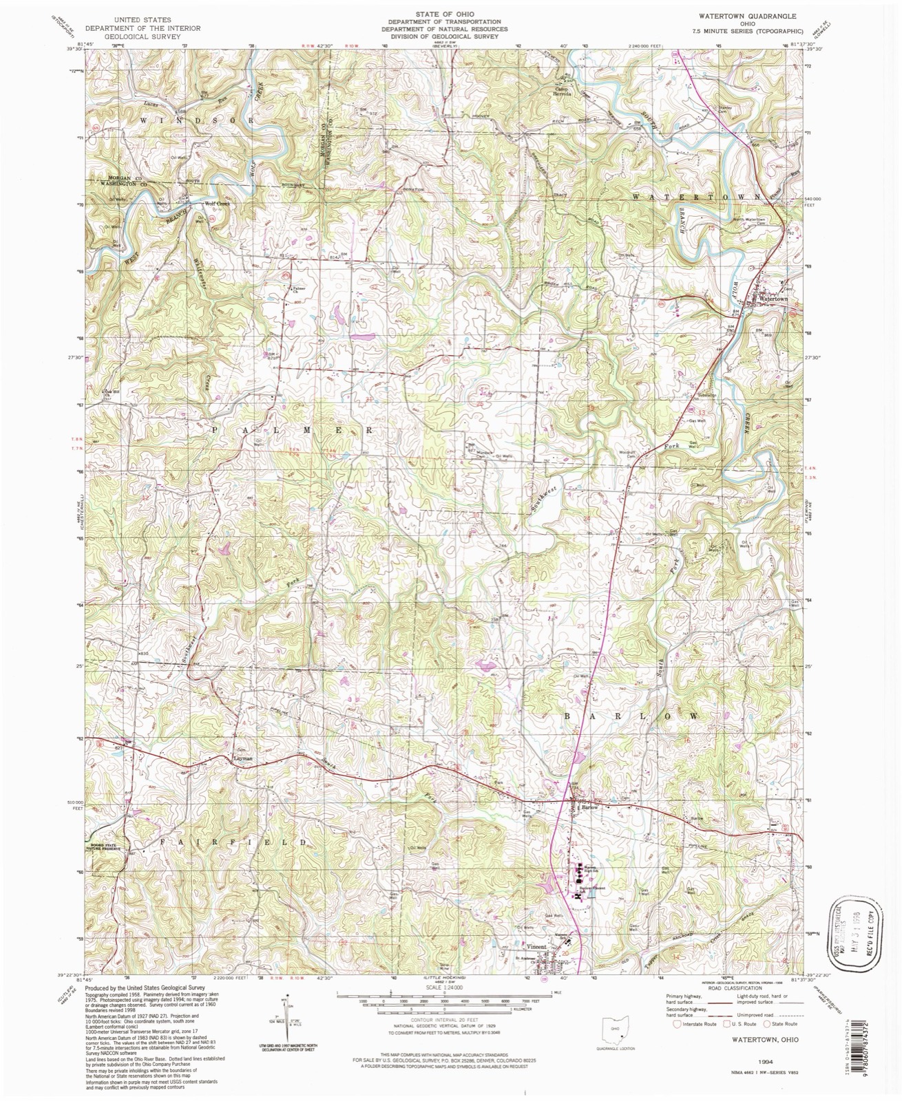
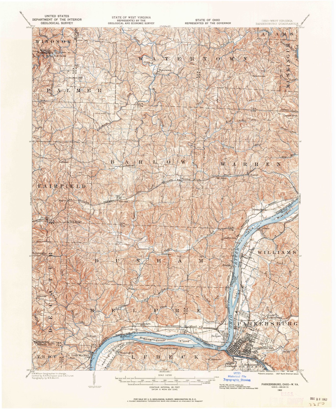
1986. 16 historic map sheets show this location, the earliest from 1902.
From the record
“Watertown is an unincorporated community in southwestern Watertown Township, Washington County, Ohio, United States. It has a post office with the ZIP code 45787.”
Wikipedia article Watertown, Ohio, CC BY-SA 4.0.
one of 39 National Register listings in Washington County · listed in 1986 · category: DISTRICT · significant for ARCHITECTURE · one of 1 National Historic Landmarks in Washington County.
National Register reference number.86000728- the number the National Park Service assigned this property when it was listed, and the key its nomination file is catalogued under at the National Archives.
Then and now
1902 to 1994
The ground this property stands on, surveyed
92 years apart. Drag the handle to wipe between them. Both sheets are
United States Geological Survey originals; neither has been altered.
19021994
The ground it stands on
18,496 words
The chapter on Watertown Township in History of Washington County, Ohio, published 1881 names Watertown. This is what it says, exactly as the scans read.
Watertown is chiefly drained by Wolf creek, the two branches of which unite in the northern part. The east branch, which rises in Warren township, takes almost a direct northward course in Watertown. The hills along its valley are not as abrupt as those in most other parts of the county. Back from the creek valley the surface is comparatively level except along the tributaries, where the hills reaching to the plain are steep, but not abrupt. The west branch flows into Watertown from Morgan county, and joins the east branch near the Waterford line. This stream flows alternately between regular and picturesque hills and through beautiful valleys, which spread out into fertile bottoms. The part of the township drained by the west branch is the most hilly and broken. Rainbow creek carries off the waters of the northeastern part of the township.
This township is generally finely situated for agricultural purposes, but the soil is not as fertile as that in some other portions of the county. The rock strata, by the disintegration of which soil is mostly formed, is shale and sandstone with very little limestone. The heavy stratum of limestone in the bed of the west branch of Wolf creek does not crop out anywhere on the hills, and can only be made available by artificial methods. A seam of slaty coal appears near the village of Watertown.
Regional context, not property-specific
evidence. The
federal wildfire occurrence database
lists 19 fires within 5 miles of Watertown Historic District between
2013 and 2020, burning about 35 acres in total. None started naturally. None was recorded as arson.
Distance is straight-line from the map coordinates, so a fire counted
here may appear on a neighbouring settlement's page as well.
Reported cause
Fires
Debris and open burning
12
Missing data/not specified/undetermined
3
Equipment and vehicle use
2
Power generation/transmission/distribution
1
Smoking
1
The most recent of
them, most recent first, with the day each was reported and the service
that recorded it.
Regional context, not property-specific
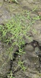
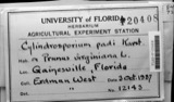
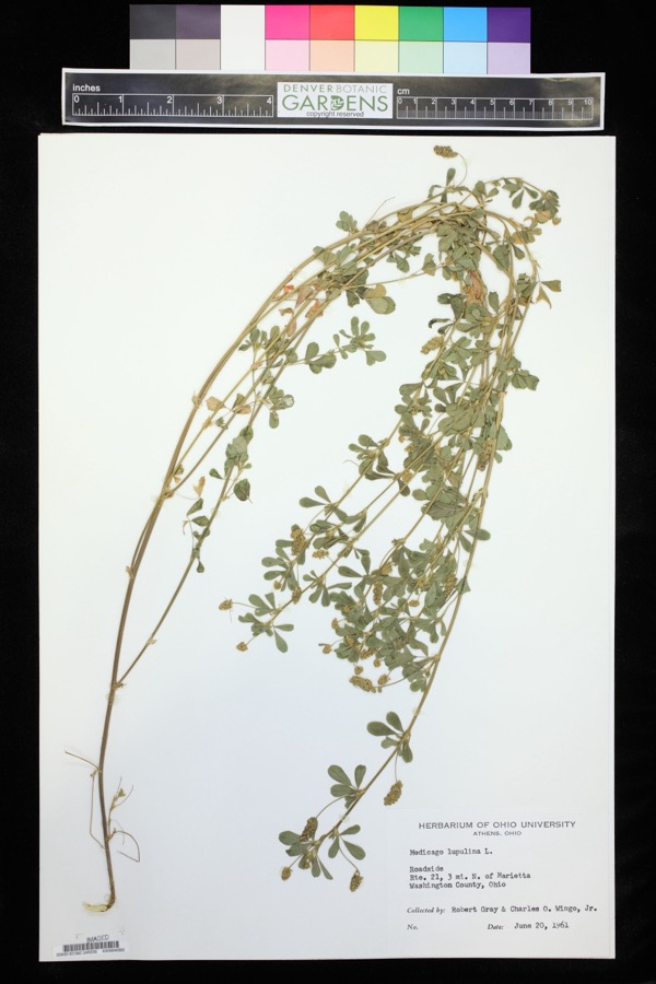
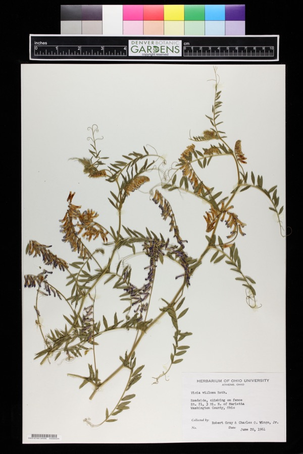
evidence. Museums hold 690 specimens
collected within 10 miles of Watertown Historic District between 1888 and
1974: 653 Animalia, 32 Plantae, 5 Fungi. 12 distinct Species records are shown.
Collected by A. D. Selby, Adams, N.; Adams, S., Albaugh, D. W. (Douglas W.) and others. Each is a
physical object with a catalogue
number, and each entry opens the museum's record. This is what was
collected and kept, not a survey of what lives here - nothing can be
concluded from a species being absent.
Regional context, not property-specific
evidence. The National Weather Service names
Watertown, the town this property stands in, in 6 storm reports between 1994 and 2026: 3 hail, 2 thunderstorm wind, 1 lightning.
The reports record 2 injuries. Each account below is quoted exactly as the forecast office
filed it, from the NOAA Storm Events Database, and each date
opens the federal record of that event.
Two men were stuck by separate lightning bolts. One was in Muskingum Township, the other was from Waterford Township. They were treated and released from Marietta hospitals.
United States Geological Survey topographic
sheets whose coverage includes this point. Matched by geocoding the centre of Watertown, because the National Register records a descriptive location rather than a street address, then
testing that coordinate against the published boundary of every sheet.
When this property was proposed for the
National Register, someone wrote the case for it: what the building is,
and why it matters. That document is a federal record in the public domain.
It is quoted below word for word, never summarised. The text was read off the scanned case file by machine, so the
occasional stray character is the recogniser's and the 1970s
typewriter's.
Description of the property
is located in sections 8 and 14 of Watertown Township, primarily on 160-acre district). To the northeast of Beverly Street, Church Street runs east past Is drained by Wolf Creek, the chief stream in the township, which flows With the exception of three brick structures, the district consists of wood frame structures, both residential and commercial, sheathed in weatherboard of the rural middle class from the Civil War until World War I, the period as far as can be determined, no log bulldings survive in their original particular, wood shingle roofs and simple wood porches(photos #3 and 13). have additions to the side and/or rear, often the result of the enclosure of.
Condition ruins are distinguished by mature deciduous trees which during the summer canopy the The Watertown Historic District consists of seventy-five residential, Watertown, an unincorporated village in rural southeastern Ohio. The village 7.
Description maintenance complex, concrete block structures built in the heart of the commercial, and background structures within the confines of the village of Oral sources confirm that some houses were moved from their original sites architecture is predominately vernacular in character and reflects the taste rectangular in plan, with their longer sides oriented to the street.Some Check one of Beverly Street north of its intersection with Franklin Street and has had found most often is synthetic siding, aluminum as well as vinyl; even this is Ievel thoroughfares of Beverly Street (which runs north and south) and the Brooks-Fisher House (ca. 1828), which is the second house on the west side either original or replaced wood shingles. siding applied over its original brick walls.
the village limits and rises up a rather steep hill to a plateau whereon Lot No. 821 as laid out by the Ohio Company.
(in one paragraph) Most of the buildings in the district were constructed between 1850 and The turn of the century, however, brought the widespread development of nearby underground oil deposits, with over five hundred farms in Washington County stations in life. These houses are typified by the Hughes-Martin House blossoming town (photo #14). Leander Cornes, twins who built the township hall (photo 21) and the Dr. Bohn Schweikert on Beverly Street bear Schweikert porches, along with pedimental 1600-1699 1700-1799 commerce 1500-1599 1400-1499 communications economics 8.
Significance invention philosophy education engineering Period industry humanitarian theater Builder/Architect science unknown social/ sculpture agriculture law exploration/settlement generally vernacular in style, are indicative of the widespread local family home and remodeled it, adding his distinctive style of porch with lacy, .conservation few commercial buildings are also significant as examples of rural commercial _archeology-historic the Watertown Planing Mill shown in the foreground in photo #2),Leonard and is reflected primarily in the village's residential structures which, while .architecture The late nineteenth century saw relatively little activity in the village. Schweikert (1872-1953) was the son of wagonmaker J.L.
Schweikert, who died in Watertown is a very well-preserved southeastern Ohio village whose primary lasting contribution to the village's architectural, as well as aesthetic, 1901 and whose wake is chronicled in photo #27.Fred Schweikert took over the documented the work of several craftsmen--the Wagner operated (recently demolished),built by oil speculator Sam Hughes and ornamented by -prehistoric identical houses built in 1901 for storekeeper James T.Dunbar (1840-1911) and sawn balustrade, turned posts, scrollwork and bracketry (photo #28).The other (specify) 1901 view and a contemporary view of the same house.
Quoted from the National Register nomination
for reference 86000728, 65 pages, held by the National Archives in Record
Group 79. See the
catalogue record.
Listed places nearby
5 within 8 miles
Other National Register properties close
enough to walk or drive between, ordered by distance from this one. Both
positions come from the same geocoding pass that matched these properties
to their map sheets.
Listing record. National Park Service National Register of Historic Places, listed-properties dataset, current to 2026-05-22.
Map join. Address geocoded through the United States Census geocoder, then tested against the published boundary of every sheet in the USGS Historical Topographic Map Collection.
How this page is made. Listing fields come from federal records; map-sheet coverage is a labelled coordinate-to-boundary calculation, not a source-field claim.
Wildfire. Short, Karen C. 2022. Spatial wildfire occurrence data for the United States, 1992-2020 [FPA_FOD_20221014]. 6th Edition. Fort Collins, CO: Forest Service Research Data Archive. https://doi.org/10.2737/RDS-2013-0009.6 Collected with United States Government funding and usable without additional permissions or fees.
Specimens. Global Biodiversity Information Facility (GBIF), https://www.gbif.org/. Only records licensed CC0 or CC BY are used. Records licensed CC BY-NC are excluded because this site carries advertising. Images are checked individually and any whose licence is non-commercial, no-derivatives or unreadable is refused.
Storms. NOAA National Centers for Environmental Information, Storm Events Database https://www.ncei.noaa.gov/stormevents/ A work of the United States government, no copyright under 17 U.S.C. 105. Narratives are quoted verbatim from the National Weather Service report and are not edited or summarised.
 Block
Block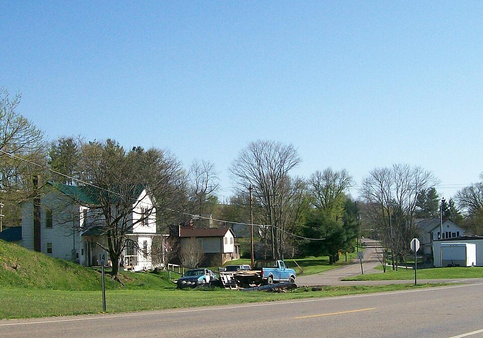


.jpg)