Listed on the National Register of Historic Places in
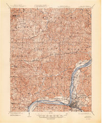
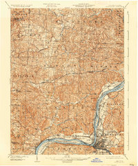
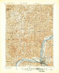
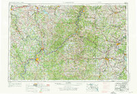
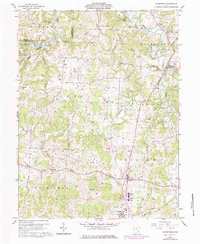
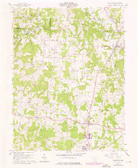
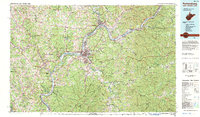
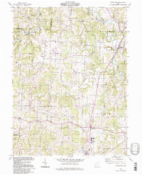
1976. 16 historic map sheets show this location, the earliest from 1902.
From the record
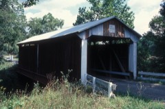
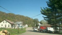
“The Harra Covered Bridge is a historic wooden covered bridge in Washington County, Ohio, United States. Located in western Watertown Township, about 2 miles (3.2 km) north of the community of Watertown, the bridge spans the South Branch of Wolf Creek near the intersection of State Route 339 and Township Road 172.”
Wikipedia article Harra Covered Bridge, CC BY-SA 4.0.
one of 39 National Register listings in Washington County · listed in 1976 · category: STRUCTURE · significant for ENGINEERING; TRANSPORTATION · one of 1 National Historic Landmarks in Washington County.
National Register reference number.76001547- the number the National Park Service assigned this property when it was listed, and the key its nomination file is catalogued under at the National Archives.
Then and now
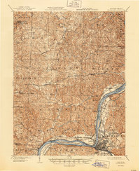
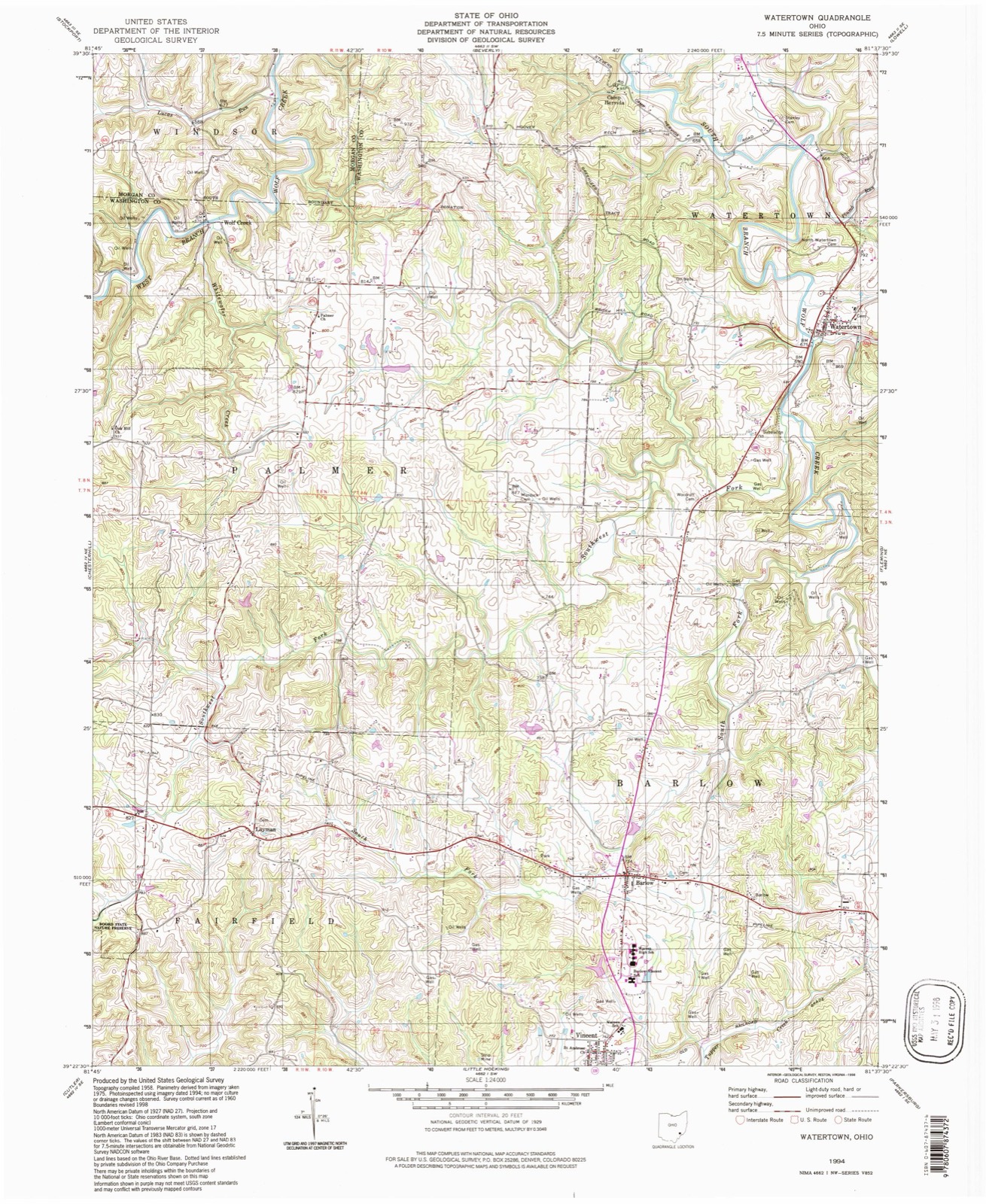
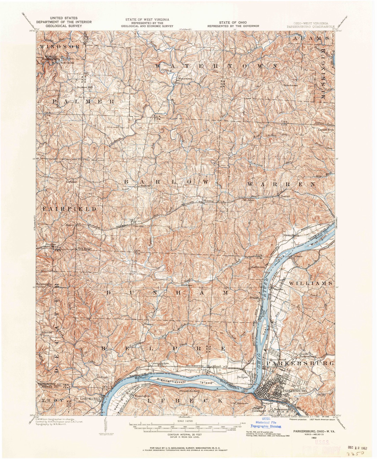
1902 to 1994
The ground this property stands on, surveyed
92 years apart. Drag the handle to wipe between them. Both sheets are
United States Geological Survey originals; neither has been altered.
19021994
The ground it stands on
18,496 words
The chapter on Watertown Township in History of Washington County, Ohio, published 1881 names Watertown. This is what it says, exactly as the scans read.
Watertown is chiefly drained by Wolf creek, the two branches of which unite in the northern part. The east branch, which rises in Warren township, takes almost a direct northward course in Watertown. The hills along its valley are not as abrupt as those in most other parts of the county. Back from the creek valley the surface is comparatively level except along the tributaries, where the hills reaching to the plain are steep, but not abrupt. The west branch flows into Watertown from Morgan county, and joins the east branch near the Waterford line. This stream flows alternately between regular and picturesque hills and through beautiful valleys, which spread out into fertile bottoms. The part of the township drained by the west branch is the most hilly and broken. Rainbow creek carries off the waters of the northeastern part of the township.
This township is generally finely situated for agricultural purposes, but the soil is not as fertile as that in some other portions of the county. The rock strata, by the disintegration of which soil is mostly formed, is shale and sandstone with very little limestone. The heavy stratum of limestone in the bed of the west branch of Wolf creek does not crop out anywhere on the hills, and can only be made available by artificial methods. A seam of slaty coal appears near the village of Watertown.
Regional context, not property-specific
evidence. The
federal wildfire occurrence database
lists 19 fires within 5 miles of Harra Covered Bridge between
2013 and 2020, burning about 35 acres in total. None started naturally. None was recorded as arson.
Distance is straight-line from the map coordinates, so a fire counted
here may appear on a neighbouring settlement's page as well.
Reported cause
Fires
Debris and open burning
12
Missing data/not specified/undetermined
3
Equipment and vehicle use
2
Power generation/transmission/distribution
1
Smoking
1
The most recent of
them, most recent first, with the day each was reported and the service
that recorded it.
Regional context, not property-specific
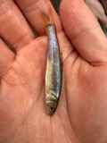
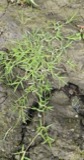
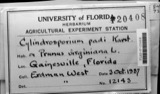
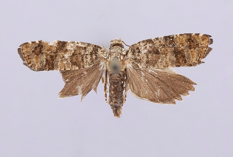
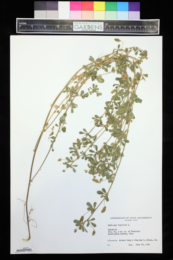
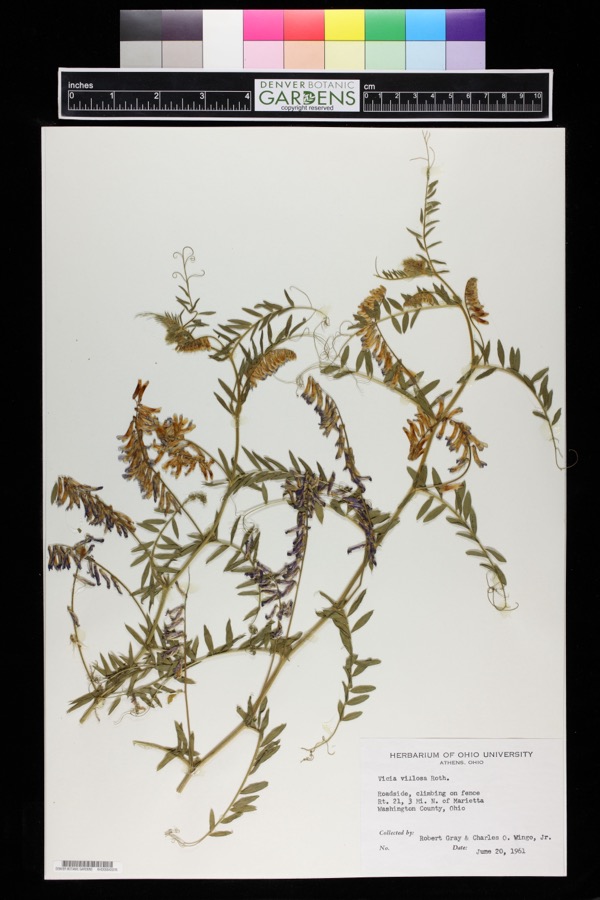
evidence. Museums hold 690 specimens
collected within 10 miles of Harra Covered Bridge between 1888 and
1974: 653 Animalia, 32 Plantae, 5 Fungi. 12 distinct Species records are shown.
Collected by A. D. Selby, Adams, N.; Adams, S., Albaugh, D. W. (Douglas W.) and others. Each is a
physical object with a catalogue
number, and each entry opens the museum's record. This is what was
collected and kept, not a survey of what lives here - nothing can be
concluded from a species being absent.
Regional context, not property-specific
evidence. The National Weather Service names
Watertown, the town this property stands in, in 6 storm reports between 1994 and 2026: 3 hail, 2 thunderstorm wind, 1 lightning.
The reports record 2 injuries. Each account below is quoted exactly as the forecast office
filed it, from the NOAA Storm Events Database, and each date
opens the federal record of that event.
Two men were stuck by separate lightning bolts. One was in Muskingum Township, the other was from Waterford Township. They were treated and released from Marietta hospitals.
United States Geological Survey topographic
sheets whose coverage includes this point. Matched by geocoding the centre of Watertown, because the National Register records a descriptive location rather than a street address, then
testing that coordinate against the published boundary of every sheet.
When this property was proposed for the
National Register, someone wrote the case for it: what the building is,
and why it matters. That document is a federal record in the public domain.
It is quoted below word for word, never summarised. The text was read off the scanned case file by machine, so the
occasional stray character is the recogniser's and the 1970s
typewriter's.
Description of the property
spanning the south branch of Wolf Creek on township road 172, one-half mile west of SR 76, Watertown Township, 2 miles northwest of Watertown, Washington County, Ohio. This old span has vertical, high-boarded siding,a metal roof, cut-stone all with a 94* g" truss length. It has a 14' 4" roadway and an overall width of CONDITION UNEXPOSED DETERIORATED UNALTERED FAIR The structure under consideration is a one span wooden truss covered bridge abutments and straight portals. No major changes have been made to this structure since it was built, although CHECK ONE X_ORIGINAL SITE tions entered and it is also considered to be the first panel truss.The Long truss is a series of x's,braces and counterbraces, set between wooden fully arched above the entrance.
painted and weathered toa soft, silver-grey color _EXCELLENT 16' 6".The height of the trusses is7'1"and the overhead clearance is 13 earth and stone in 1916. The metal roof is red, but siding and portals are un- Long's plan is considered to be the first truss into which mathematical calcula- This is known as the Harra Bridge and is built on the Long truss plan patented in 1830 by Col Stephan H.Long of the U.S.Army Topographical Engineers.Col. bridge and two roofed windows on the west side.The straight portals are grace bridge was built, the south approach was a wooden ramp..his was filled in with Ohio.in the 1870's.The Harra Bridge isa 10 panel Long truss,100'9"long over- AREAS OF
Statement of significance
of Marietta, Ohio and his sons, Alta and Charlie. The abutments, which were quarried by Marshall Curran Arnstrong. His son, Dr. Ross Armstrong, related much of the history of the old bridge to The News of Marietta, Ohio in 1963. Di. Armstrong today and still carrying daily traffic. It is one of Ohio's most scenic eovered 1500-1599 provement.
COMMERCE ARCHEOLOGY-HISTORIC EDUCATION ECONOMICS ART ARCHITECTURE X_ENGINEERING CONSERVATION PERIOD PHILOSOPHY SIGNIFICANCE AGRICULTURE INDUSTRY THEATER SCULPTURE LITERATURE Historic X-1800-1899 _EXPLORATION/SETTLEMENT XTRANSPORTATION _POLITICS/GOVERNMENT This fine old Long truss covered bridge was built about 1875 by William Meredith After a century of faithful service, the Harra Bridge is still in good condition _COMMUNICATIONS Just above the site of the bridge was the Yankee Settlement Mill owmed and operated _INVENTION -SCIENCE Long trusses left in the state -1700-1799 the covered bridge was built, travelers had to ford.Wolf Creek about a mile down- 1900- SPECIFIC DATES about 1875 stream ata place known as Roger's Ford.This was often difficult and dangerous spans, in a very quiet and lovely pastoral setting.It is also one of only eight -1400-1499 although it is spelled without the final H today.
-1600-1699 - MILITARY -MUSIC - LAW due to high water and the building of the bridge was considered to be a great im- on the nearby Harrah Farm, were laid by Billy Gamble;a stonemason.The Harrah Farm at that time was owned by James Harrah and the bridge takes its name from that family, 9
Quoted from the National Register nomination
for reference 76001547, 20 pages, held by the National Archives in Record
Group 79. See the
catalogue record.
Listed places nearby
5 within 8 miles
Other National Register properties close
enough to walk or drive between, ordered by distance from this one. Both
positions come from the same geocoding pass that matched these properties
to their map sheets.
Listing record. National Park Service National Register of Historic Places, listed-properties dataset, current to 2026-05-22.
Map join. Address geocoded through the United States Census geocoder, then tested against the published boundary of every sheet in the USGS Historical Topographic Map Collection.
How this page is made. Listing fields come from federal records; map-sheet coverage is a labelled coordinate-to-boundary calculation, not a source-field claim.
Wildfire. Short, Karen C. 2022. Spatial wildfire occurrence data for the United States, 1992-2020 [FPA_FOD_20221014]. 6th Edition. Fort Collins, CO: Forest Service Research Data Archive. https://doi.org/10.2737/RDS-2013-0009.6 Collected with United States Government funding and usable without additional permissions or fees.
Specimens. Global Biodiversity Information Facility (GBIF), https://www.gbif.org/. Only records licensed CC0 or CC BY are used. Records licensed CC BY-NC are excluded because this site carries advertising. Images are checked individually and any whose licence is non-commercial, no-derivatives or unreadable is refused.
Storms. NOAA National Centers for Environmental Information, Storm Events Database https://www.ncei.noaa.gov/stormevents/ A work of the United States government, no copyright under 17 U.S.C. 105. Narratives are quoted verbatim from the National Weather Service report and are not edited or summarised.
 Block
Block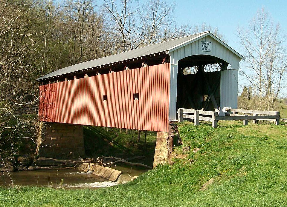

.jpg)