Block
From the record
One of 180 National Register listings published here for Summit County · listed in 2014 · category: Building.
Sources: the National Register database, National Park Service
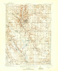
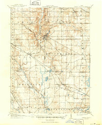
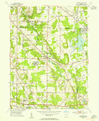
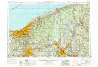
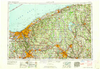
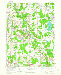
Listed on the National Register of Historic Places in 2014. 9 historic topographic surveys show this location, the earliest from 1906.
One of 180 National Register listings published here for Summit County · listed in 2014 · category: Building.
Sources: the National Register database, National Park Service
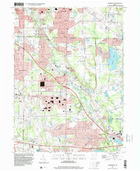
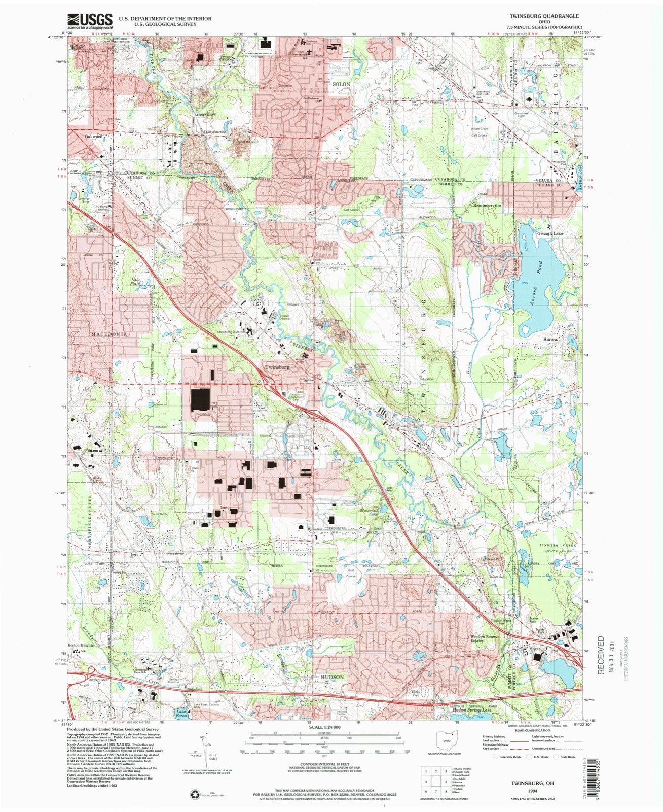
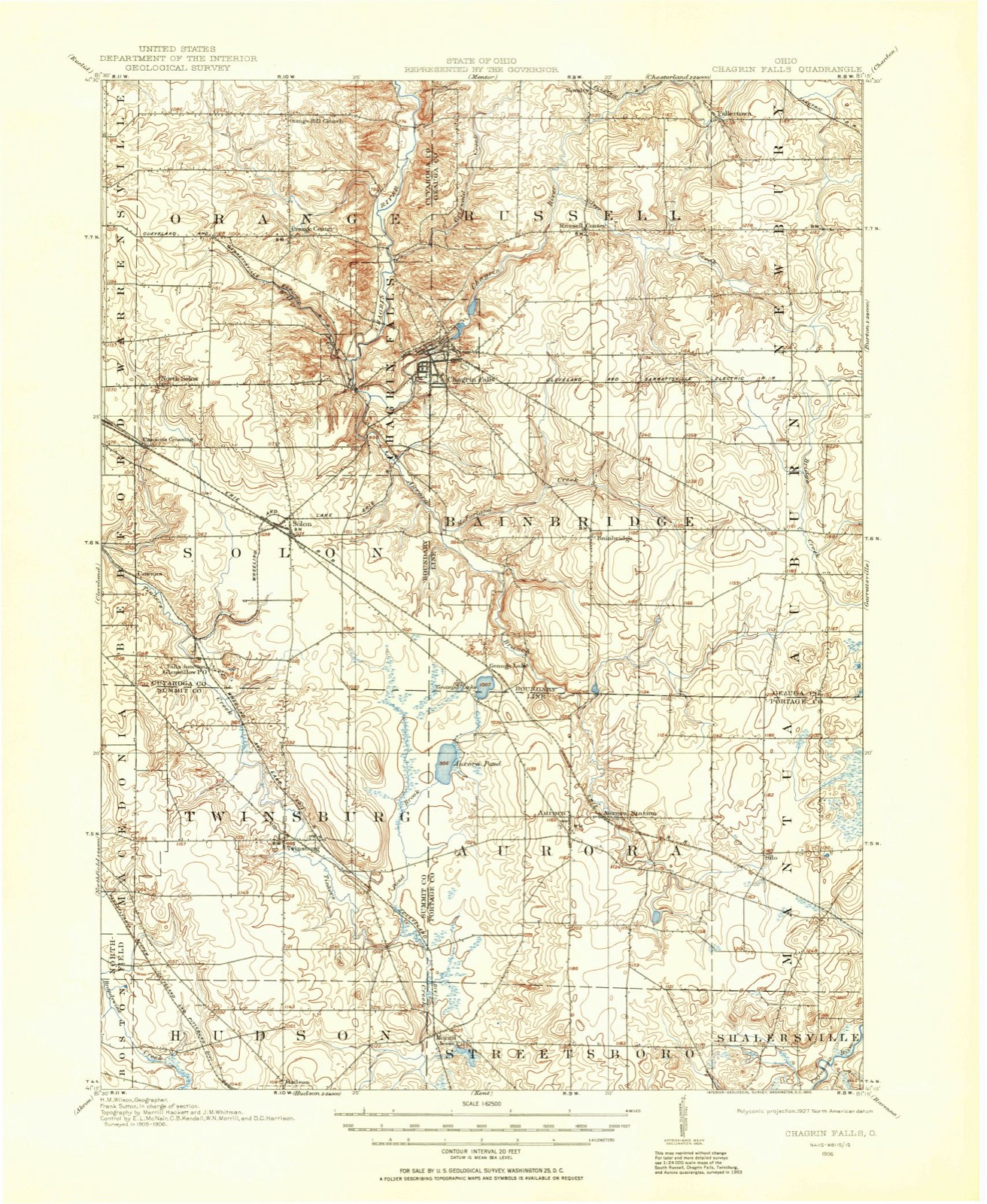
The ground this property stands on, surveyed 88 years apart. Drag the handle to wipe between them. Both sheets are United States Geological Survey originals; neither has been altered.
Regional context, not property-specific evidence. The federal wildfire occurrence database lists 2 fires within 5 miles of Longwood Manor between 1993 and 2006, burning under an acre in total. None started naturally. None was recorded as arson. Distance is straight-line from the map coordinates, so a fire counted here may appear on a neighbouring settlement's page as well.
| Reported cause | Fires |
|---|---|
| Debris and open burning | 1 |
| Missing data/not specified/undetermined | 1 |
The most recent of them, most recent first, with the day each was reported and the service that recorded it.
| Date | Cause | Size | Reported by | Name on the report |
|---|---|---|---|---|
| 5 April 1993 | Debris and open burning | under an acre | Cuyahoga Valley National Park | GOOD |
| 19 April 2006 | Missing data/not specified/undetermined | under an acre | Cuyahoga Valley National Park | STUMPY |
Regional context, not property-specific evidence. Museums hold 611 specimens collected within 10 miles of Longwood Manor between 1877 and 1973: 586 Animalia, 14 Plantae, 11 Fungi. 12 distinct Species records are shown. Collected by A. Hall, Adams J. M. R., Armbruster, D. C. (Daniel C.) and others. Each is a physical object with a catalogue number, and each entry opens the museum's record. This is what was collected and kept, not a survey of what lives here - nothing can be concluded from a species being absent.
| Image | Species | Year | Collected by | Where, as recorded |
|---|---|---|---|---|
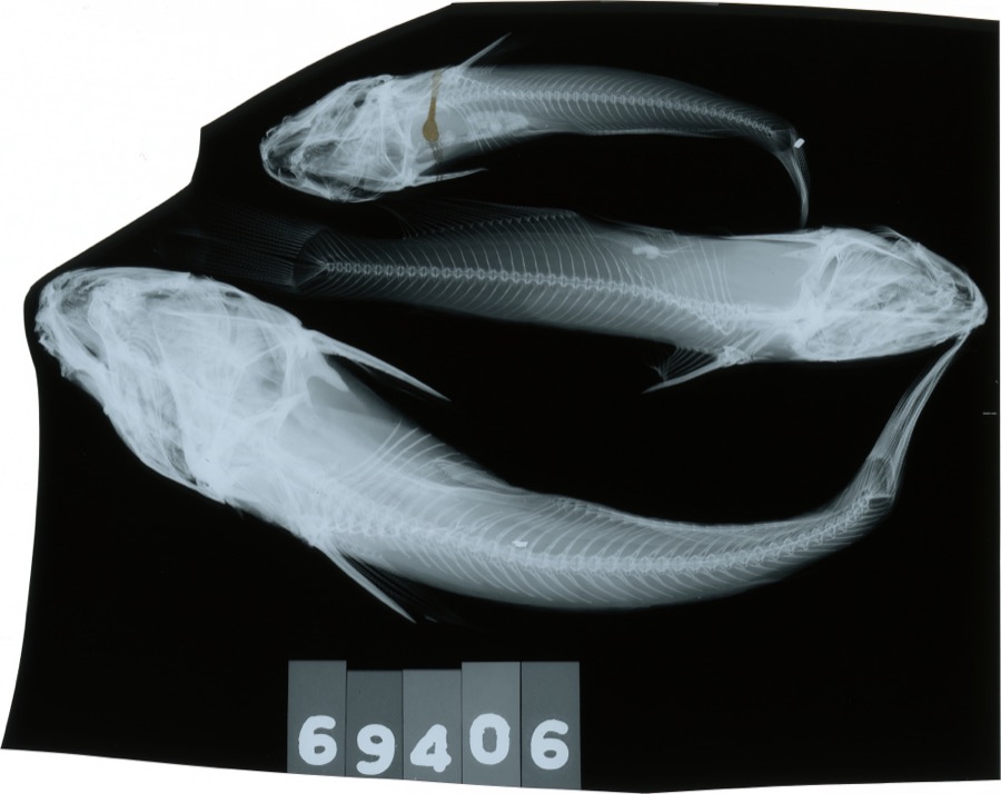 | Ameiurus melas (Rafinesque, 1820) | 1893 | C. Rutter | Cuyahoga River, Penisula, Ohio |
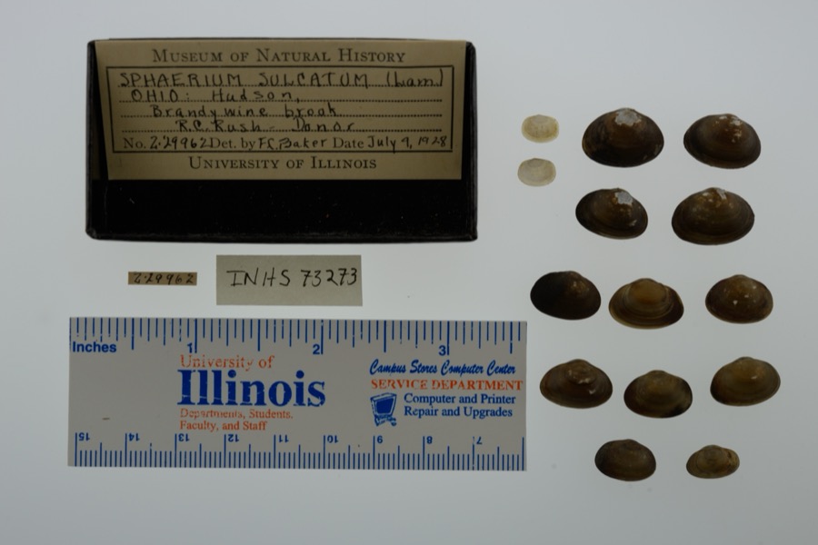 | Sphaerium simile (Say, 1817) | 1928 | not recorded | Brandywine Brook, Hudson, North America |
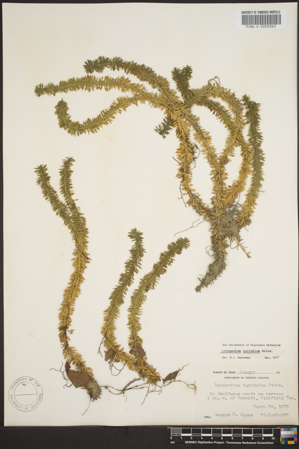 | Lycopodium lucidulum Michx. | 1973 | George T. Jones | 1 mile west of Everett, Richfield Township |
 | Empidonax flaviventris (W.M.Baird & S.F.Baird, 1843) | 1877 | A. Hall | Cuyahoga |
 | Buteo lineatus lineatus (Gmelin, 1788) | 1887 | B. Sanford | Hudson |
 | Gymnosporangium juniperi-virginianae Schwein. | 1889 | Reade M. C. | Hudson |
 | Scolopax minor J.F.Gmelin, 1789 | 1892 | Beryl Hodge | Hudson |
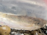 | Catostomus commersonii (Lacepède, 1803) | 1893 | not recorded | Peninsula, Ohio |
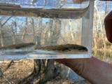 | Etheostoma nigrum Rafinesque, 1820 | 1893 | Woolman | Cuyahoga River, Peninsula, Ohio |
 | Percina caprodes (Rafinesque, 1818) | 1893 | not recorded | Peninsula |
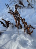 | Onoclea sensibilis L. | 1897 | Ashcroft, G.B. | Western Reserve; Berea |
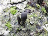 | Xylaria polymorpha (Pers.) Grev. | 1897 | Read M. | Hudson |
All 611 specimens within 10 miles, at the Global Biodiversity Information Facility.
Regional context, not property-specific evidence. The federal mineral resources record lists 7 workings within 5 miles of Longwood Manor: 5 past producers, 1 producer, 1 unknown. 1 still produces. What was taken out: Stone, Crushed/Broken, Sand and Gravel, Construction, Zirconium. Distance is straight-line from the map coordinates, so a quarry counted here may appear on a neighbouring settlement's page as well.
| Where | Site | Commodity | Status | Recorded |
|---|---|---|---|---|
| Zircoa Refractories/ Solon, Ohio | Zirconium | Unknown | ||
| Leone Sand and Gravel Pit | Sand and Gravel, Construction | Past Producer | Sedimentary | |
| Leone Sand and Gravel Pit | Sand and Gravel, Construction | Past Producer | ||
| Cannon Sand and Rock, Inc. Quarry | Stone, Crushed/Broken | Past Producer | Sedimentary | |
| Cannon Sand and Rock, Inc. Quarry | Stone, Crushed/Broken | Past Producer | ||
| Silica, Incorporated Quarry | Stone, Crushed/Broken | Past Producer | Sedimentary | |
| Twinsburg Quarry | Stone, Crushed/Broken | Producer |
Regional context, not property-specific evidence. The National Weather Service names Macedonia, the town this property stands in, in 15 storm reports between 1995 and 2023: 8 hail, 6 thunderstorm wind, 1 tornado. The reports record 1 injury. Each account below is quoted exactly as the forecast office filed it, from the NOAA Storm Events Database, and each date opens the federal record of that event.
| When | Event | Place named | Harm | What the report says |
|---|---|---|---|---|
| April 2018 | Thunderstorm Wind | Macedonia | 1 hurt, $100,000 | Thunderstorm downburst winds estimated to be around 70 mph damaged the roof of a large warehouse on Independence Parkway in Twinsburg. There was one minor injury. |
| November 2002 | Tornado (F2) | Macedonia | $10,200,000 | A small F0/F1 tornado touched down in Macedonia near the intersection of Valley View Drive (SR 631) and Aurora Road and moved northeast. The tornado gradually strengthened and reached F2 intensity as it crossed State Route 14 and moved into Twinsburg. After a track of just over three miles the tornado weakened to F1 intensity and crossed into Cuyahoga County south of Glenwillow. Extensive damage was done in Macedonia and Twinsburg. In Macedonia, 60 homes were damaged including two that were destroyed and 15 others were damaged enough to be declared uninhabitable. The most severe damage in the county occurred in the Glenwood Preserve neighborhood on the north side of Twinsburg. Extensive damage was done on Andover Drive and Deeplake Circle where several homes were leveled and a total of 45 homes damaged. Damage estimates in Twinsburg alone were well over $5 million. The damage path was continuous and about 100 yards in width. Dozens of cars were damaged or destroyed and hundreds of trees and power poles downed in Summit County. |
| June 2002 | Thunderstorm Wind | Macedonia | $15,000 | Thunderstorm winds downed six trees. |
| June 2007 | Thunderstorm Wind | Macedonia | $5,000 | Several large trees were reported down. |
| May 2003 | Thunderstorm Wind | Macedonia | $5,000 | Thunderstorm winds downed several large tree limbs southwest of Macedonia. |
| December 2023 | Hail | Macedonia | - | Hail up to penny-size in Macedonia. |
| August 2023 | Thunderstorm Wind | Macedonia | - | Swath of significant tree damage from Shepard Road and I-480 in Twinsburg to Aurora Road and South Chillicothe Road in Aurora. |
| July 2023 | Thunderstorm Wind | Macedonia | - | Several tree limbs and entire trees downed in Macedonia. |
| August 2011 | Hail | Macedonia | - | Quarter sized hail was observed. |
| May 2010 | Hail | Macedonia | - | Quarter sized hail was observed. |
| June 2008 | Hail | Macedonia | - | Penny size hail was observed. |
| June 2004 | Hail | Macedonia | - | Nickel size hail was observed. |
| May 2000 | Hail | Macedonia | - | no account filed |
| April 1998 | Hail | Macedonia | - | no account filed |
| June 1995 | Hail | Macedonia | - | no account filed |
United States Geological Survey topographic sheets whose coverage includes this point. Matched by taking the coordinate the National Park Service records for this property, then testing that coordinate against the published boundary of every sheet.
Other National Register properties close enough to walk or drive between, ordered by distance from this one. Both positions come from the same geocoding pass that matched these properties to their map sheets.
| Photograph | Property | Distance | Listed |
|---|---|---|---|
| Moses and Minerva Roach House | 2.0 miles | 2021 | |
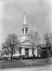 | Twinsburg Congregational Church | 2.0 miles | 1974 |
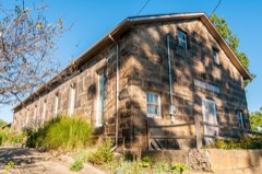 | Twinsburg Institute | 2.0 miles | 1976 |
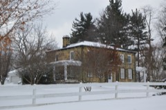 | Wolcott House | 2.6 miles | 1988 |
| Tallmadge Town Square Historic District | 2.7 miles | 1971 | |
 | Northfield Town Hall | 3.1 miles | 2000 |
| National Archives record | The nomination case file for reference 14000548 in Record Group 79. |
| Summit County | All 180 listed properties in this county. |