Listed on the National Register of Historic Places in
1974. A historic map-sheet match is not published yet. The record needs a coordinate-quality review before it can be joined to a sheet boundary.
From the record
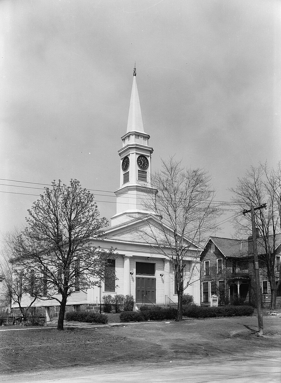
“The Twinsburg Congregational Church is a historic church building located on the southeast quadrant of the Twinsburg Public Square in Twinsburg, Ohio. It is a prominent and well-preserved local example of the Greek Revival style prevalent throughout the Western Reserve region during the mid-19th century.”
Wikipedia article Twinsburg Congregational Church, CC BY-SA 4.0.
one of 137 National Register listings in Summit County · listed in 1974 · category: Building · one of 1 National Historic Landmarks in Summit County.
National Register reference number.74001634- the number the National Park Service assigned this property when it was listed, and the key its nomination file is catalogued under at the National Archives.
Twinsburg is situated in the northeast corner of the county. It was originally attached to Portage County, from which it was severed when Summit Count}- was formed. LjMng as it does at the side of North field, its soil partakes largely of the valuable character of the latter. There are several valuable stone quarries lying so near the surface that a heav}- blast of powder would, apparently-, throw out hundreds of perches of the gritty sandstone. As it is, large quantities are taken out, and are used not merely in the count}-, but in adjacent counties. The township is well watered, and also well drained. In times of drought, the wells are not so liable to fail as those located on the bluffs which bound the Cuyahoga
In 1810-17, Lewis Ailing, of Connecticut, purchased 400 acres of land of Mills & Hoadley, l3'ing in the southeast part of Millsville Township (now Twinsburg). On the 3d of March, 1817, he sent his son Ethan, then a stripling aged sixteen years, to this land in the Reserve to commence an improvement. Three young men - Zeri Ailing, Rodolphus Wolcott and Lex Johnson - were hired and sent out at the same time to assist him. After a muddy journc}', except one day's travel on the ice from Buflialo to Dunkirk, this little part}' of four arrived at the cabin of Mr. Post, in Hudson, on the last day of March. The next da}' the party, accompanied, or rather guided, by Mr. Mills, started north to have a look at the land, upon which they were destined to undergo many hard da3's' labor. Following a line of marked trees, they at last reached a spot which Mr. Mills informed them was the center of the township. They all sat down and rested under a beech tree which stood just at the southeast corner of the square. The spot was muddy and uninviting, and the party followed up the creek until the}^ came to "the falls," where the}' found some sticks of hewed timber which had been drawn there by settlers of Hudson who designed building a saw-mill. The project, however, had been abandoned, although a small, partly finished log cabin had been erected, which was yet standing, an emblem of desertion and loneliness. After returning to Hudson and remaining there two weeks, clearing in the meantime a piece of land to be planted in corn, the boys selected a hill known now as the Hawkins farm, the land being a portion that had been purchased by Lewis Ailing, and began clearing oft' the timber. On the 15th of April, the}' "moved" to the half-finished log cabin already referred to, taking with them a barrel of stale pork that had been bought of Capt. Oviatt for $25, a barrel of flour that had cost $8, ten bushels of potatoes that had cost $5, and a gallon of whisky that had cost $1.50. The}" were supplied with a bake-kettle without a bail, two tin pans, one case knife, one iron spoon, and were compelled to use chips for plates and sharp sticks for forks. Ethan Ailing kept house, doing the cooking, etc., not onl}' for his part}- but for various visitors who were attracted to the spot, in order, perhaps, to get a " square meal." On the 7th of Jul}', Lewis Ailing and his family arrived, and moved into a log house that had been erected b}' the boys about the 1st of June. This building was the home, during the 3'ear, of the Ailing famil}-, and also of several others, numbering in all fourteen persons. The house was two-storied, having one room above and one below, and, although ever^'thing was in the most primitive fashion. 3-et all seemed to live well and enjoy themselves. Provisions were very costl}', though venison could be had without much trouble. Pork sold for about $8 per hundred, while the same quantity of venison could be bought for $\. Salt was $10 per barrel, cotton shirting 50 cents per yard, and calico 75 cents per 3ard.
Regional context, not property-specific
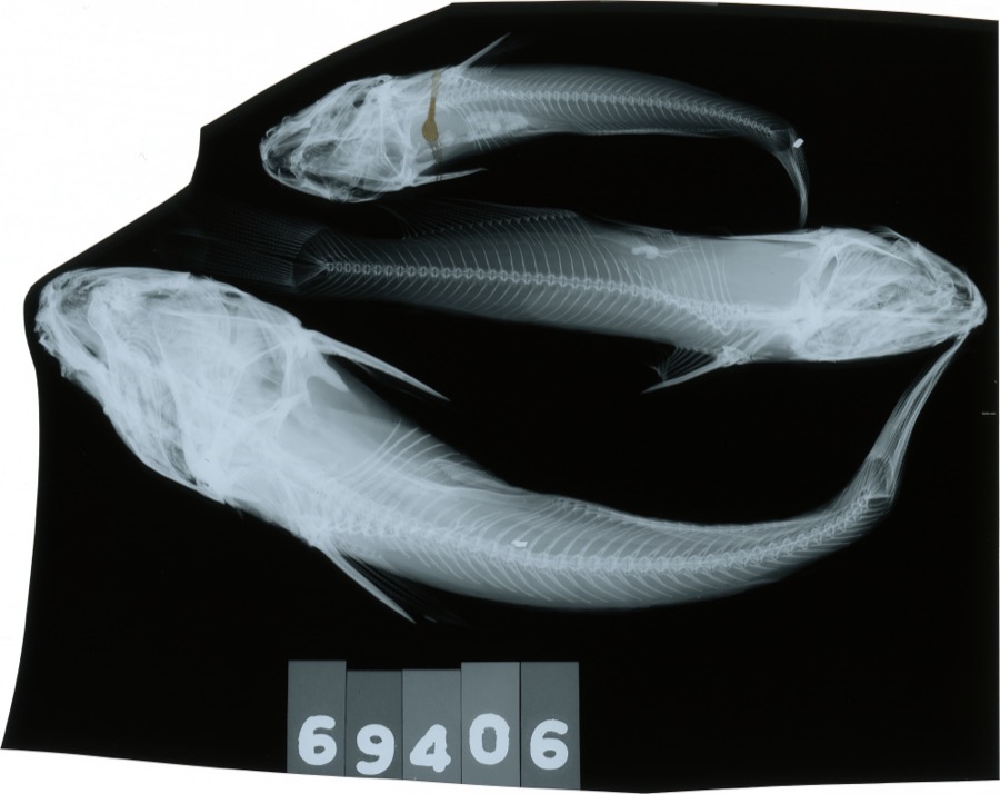
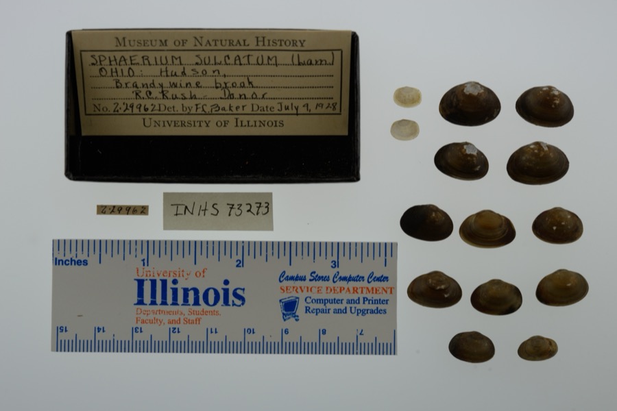
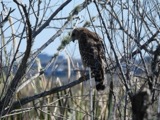
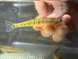
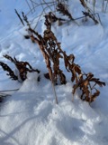
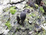
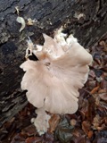
evidence. Museums hold 606 specimens
collected within 10 miles of Twinsburg Congregational Church between 1877 and
1972: 584 Animalia, 11 Fungi, 11 Plantae. 12 distinct Species records are shown.
Collected by A. Hall, Adams J. M. R., Armbruster, D. C. (Daniel C.) and others. Each is a
physical object with a catalogue
number, and each entry opens the museum's record. This is what was
collected and kept, not a survey of what lives here - nothing can be
concluded from a species being absent.
Regional context, not property-specific
evidence. The federal mineral resources record lists
4 workings within 5 miles of Twinsburg Congregational Church: 3 past producers, 1 producer.
1 still produces. What was taken out: Stone, Crushed/Broken. Distance is straight-line from the
map coordinates, so a quarry counted here may appear on a neighbouring
settlement's page as well.
Regional context, not property-specific
evidence. The National Weather Service names
Twinsburg, the town this property stands in, in 33 storm reports between 1993 and 2024: 15 hail, 13 thunderstorm wind, 4 flash flood, 1 flood.
No death or injury is recorded in these reports. Each account below is quoted exactly as the forecast office
filed it, from the NOAA Storm Events Database, and each date
opens the federal record of that event.
Heavy rain and rapid snow melt led to a rapid rise in the Cuyahoga River in Summit County which reached moderate flood stage at Old Portage. One to two inches of rainfall fell during the overnight hours of the 27th into the 28th, and combined with six to ten inches of heavy snow was on the ground resulted in rapid runoff. Several people had be rescued from homes and vehicles as the water came up. One rescue worker suffered hypothermia rescuing a motorists floating away in flood waters in Northfield Center.
No historic map-sheet match is published
for this property yet. That does not mean no map exists. This record needs
a coordinate-quality review before it can be joined to a sheet boundary.
Browse the county's mapped places while that work is
pending.
From the nomination file
1,355 words on record
When this property was proposed for the
National Register, someone wrote the case for it: what the building is,
and why it matters. That document is a federal record in the public domain.
It is quoted below word for word, never summarised. The text was read off the scanned case file by machine, so the
occasional stray character is the recogniser's and the 1970s
typewriter's.
Statement of significance
England meetinghouse adapted to the Greek Revival idiom, this church, which also stood on the Twinsburg Square, has been but whose steeple was different, burned in 1965. on the east side of the Square, and existed until 1948.? The at a cost of $210.
pilasters), and the proximity to Hudson, it has been suggested that the architect-builder was Simeon Porter, the Hudson master to those of the Streetsboro church, designed by James Clark, and the Twinsburg Methodist Church, built by William Clark, DEC 1 9 1973 Commerce Conservation SIGNIFICANCE Engineering Transportation Theater Communications Military Aboriginal REGISTER Religion/Phi Science Education Literature itarian NATIONAL Music Agriculture Political Industry Social/Human- .losophy Landscape Architecture destroyed;and the Brecksville church, whose facade was identical at Streetsboro has been removed to the Western Reserve Village The Twinsburg Congregational Church was organized in 1822.
near Peninsula;a Methodist church identical to the Streetsboro The steeple was destroyed in a windstorm of 1856 and replaced Sculpture building is very significant as the only one remaining on its that one of the Clarks seems equally likely as the builder. In addition to being a superior example of the late colonial New It used a log schoolhouse, and later a frame building on the present church building was erected in 1848 ata cost of $3,300. of the facade to that at Brecksville (Doric columns instead of Art The architect-builder is unknown. On the basis of the similarity AREAS OF SIGNIFICANCE (Check One or More as
Quoted from the National Register nomination
for reference 74001634, 10 pages, held by the National Archives in Record
Group 79. See the
catalogue record.
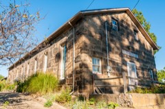
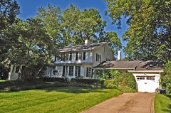
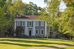
Listed places nearby
6 within 8 miles
Other National Register properties close
enough to walk or drive between, ordered by distance from this one. Both
positions come from the same geocoding pass that matched these properties
to their map sheets.
Listing record. National Park Service National Register of Historic Places, listed-properties dataset, current to 2026-05-22.
Map join. Address geocoded through the United States Census geocoder, then tested against the published boundary of every sheet in the USGS Historical Topographic Map Collection.
How this page is made. Listing fields come from federal records; map-sheet coverage is a labelled coordinate-to-boundary calculation, not a source-field claim.
Specimens. Global Biodiversity Information Facility (GBIF), https://www.gbif.org/. Only records licensed CC0 or CC BY are used. Records licensed CC BY-NC are excluded because this site carries advertising. Images are checked individually and any whose licence is non-commercial, no-derivatives or unreadable is refused.
Mines and quarries. USGS Mineral Resources Data System (MRDS) https://mrdata.usgs.gov/mrds/ A work of the United States government, no copyright under 17 U.S.C. 105.
Storms. NOAA National Centers for Environmental Information, Storm Events Database https://www.ncei.noaa.gov/stormevents/ A work of the United States government, no copyright under 17 U.S.C. 105. Narratives are quoted verbatim from the National Weather Service report and are not edited or summarised.
 Block
Block