Block
From the record
One of 686 National Register listings published here for Worcester County · listed in 2016 · category: Building.
Sources: the National Register database, National Park Service · the Wikipedia article
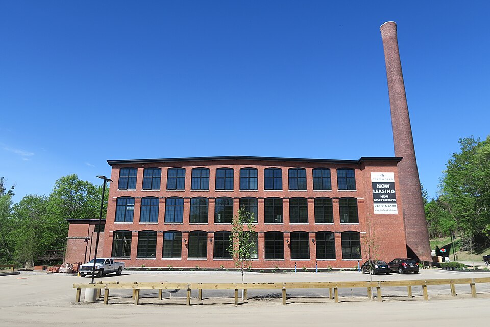
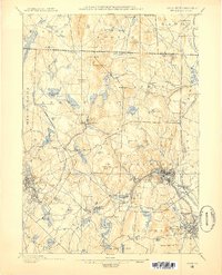
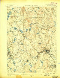
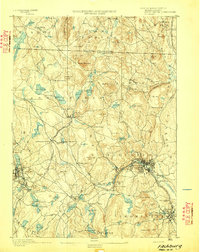
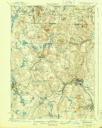
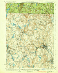
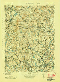
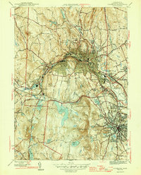
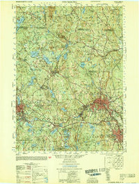
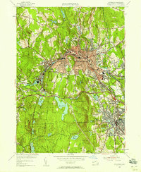
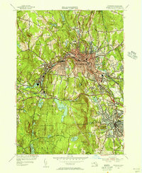
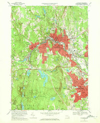
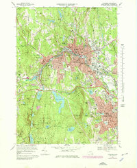
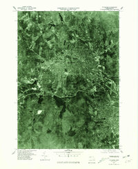
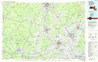
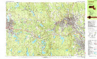
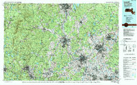
Listed on the National Register of Historic Places in 2016. 20 historic topographic surveys show this location, the earliest from 1887.
One of 686 National Register listings published here for Worcester County · listed in 2016 · category: Building.
Sources: the National Register database, National Park Service · the Wikipedia article
The chapter on Fitchburg City in History of Worcester County, Massachusetts, published 1889 names Fitchburg. This is what it says, exactly as the scans read.
In accordance with this resolve, the people of Fitchburg assembled in town-meeting, July 1, 1776, just three days before the Declaration of Independence was adopted by the Continental Congress. And this is the answer that little Fitchburg returned to the General Court at this alarming crisis: " Voted, that if the Honorable Continental Congress .should, for the safety of these United Colonies, declare them independent of the Kingdom of Great Britain, that we, the inhabitants of the town of Fitchburg, will, with ourselves and fortunes, support them in the measure."
Passage source: History of Worcester County, Massachusetts, published 1889.
In October, 1776, the town voted adversely in regard to the question submitted to it, in common with the other towns of the Province, as to whether the " then Representative House, together with the Council, should make a form of government for the State of the Massachusetts Bay.'' The objections of the people of Fitchburg to this project took the form of a report and were based on the following well-taken points: that the members of the present House were not elected with a view to any such action, and that many of the inhabitants, who ought to have a voice in the matter, were absent in the army. In other words, they thought it best not to be in too much of a hurry.
Passage source: History of Worcester County, Massachusetts, published 1889.
Machine-read from a century-old scan, so expect the errors a machine makes: misspelled names, dropped words, stray characters.
Read the whole chapter on Fitchburg City - 34,814 words on its settlement, mills, schools and churches.
Regional context, not property-specific evidence. The federal wildfire occurrence database lists 156 fires within 5 miles of Fitchburg Yarn Mill between 2015 and 2020, burning about 108 acres in total. 1 started naturally. 1 was recorded as arson. Distance is straight-line from the map coordinates, so a fire counted here may appear on a neighbouring settlement's page as well.
| Reported cause | Fires |
|---|---|
| Debris and open burning | 67 |
| Missing data/not specified/undetermined | 55 |
| Smoking | 21 |
| Recreation and ceremony | 5 |
| Power generation/transmission/distribution | 3 |
| Fireworks | 3 |
| Arson/incendiarism | 1 |
| Natural | 1 |
The most recent of them, most recent first, with the day each was reported and the service that recorded it.
| Date | Cause | Size | Reported by | Name on the report |
|---|---|---|---|---|
| 8 September 2015 | Missing data/not specified/undetermined | 1.0 acres | Massachusetts Bureau of Forest Fire Control | not named |
| 7 September 2016 | Missing data/not specified/undetermined | under an acre | Massachusetts Bureau of Forest Fire Control | not named |
| 5 September 2016 | Debris and open burning | under an acre | Massachusetts Bureau of Forest Fire Control | not named |
| 5 September 2015 | Missing data/not specified/undetermined | under an acre | Massachusetts Bureau of Forest Fire Control | not named |
| 4 September 2015 | Missing data/not specified/undetermined | under an acre | Massachusetts Bureau of Forest Fire Control | not named |
| 4 September 2015 | Missing data/not specified/undetermined | under an acre | Massachusetts Bureau of Forest Fire Control | not named |
| 3 September 2017 | Debris and open burning | under an acre | Massachusetts Bureau of Forest Fire Control | not named |
| 24 September 2020 | Missing data/not specified/undetermined | 3.4 acres | Massachusetts Bureau of Forest Fire Control | MONOOSNOC HILL |
Regional context, not property-specific evidence. Museums hold 681 specimens collected within 10 miles of Fitchburg Yarn Mill between 1870 and 1974: 291 Animalia, 219 Plantae, 156 Fungi, 6 Unrecorded, 6 Chromista, 3 Protozoa. 12 distinct Species records are shown. Collected by A. B. Seymour, A. Ferrett, A. H. Allen and others. Each is a physical object with a catalogue number, and each entry opens the museum's record. This is what was collected and kept, not a survey of what lives here - nothing can be concluded from a species being absent.
| Image | Species | Year | Collected by | Where, as recorded |
|---|---|---|---|---|
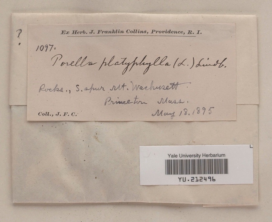 | Porella platyphylla (L.) Pfeiff. | 1895 | James F. Collins | South spur, Mount Wachusett |
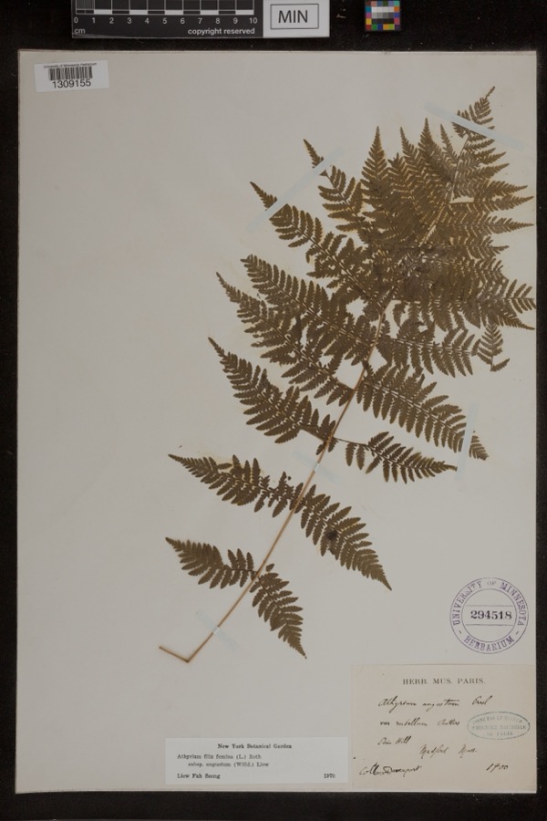 | Athyrium filix-femina subsp. angustum (Willd.) R.T.Clausen | 1900 | Davenport | Pine Hill; Medford |
 | Carex maritima Gunnerus | 1870 | J. W. Congdon | Wellville |
 | Hylesinus aculeatus Say & T., 1824 | 1872 | unknown | Fitchburg |
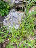 | Carex foenea Willd. | 1878 | W. Boott | Wachusett Mountain |
 | Sibbaldiopsis tridentata (Aiton) Rydb. | 1879 | Bailey, W.W. | summit of Mt. Wachusett |
 | Papaver orientale L. | 1880 | unknown | Townsend. |
 | Hypericum gentianoides (L.) Britton, Sterns & Poggenb. | 1881 | Fredrick L Sargent | Lunenburg |
 | Botrychium multifidum (S.G.Gmel.) Rupr. | 1882 | Manning, Sara M. | Ashby |
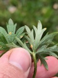 | Aecidium Pers. | 1883 | Sargent, F. L. | Lunenburg, Mass. [Massachusetts] |
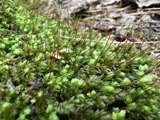 | Aulacomnium heterostichum (Hedw.) Bruch & Schimp. | 1883 | not recorded | |
| Arthuriomyces peckianus (Howe) Cummins & Y.Hirats. | 1892 | W. B. Hosmer |
All 681 specimens within 10 miles, at the Global Biodiversity Information Facility.
Regional context, not property-specific evidence. The federal mineral resources record lists 4 workings within 5 miles of Fitchburg Yarn Mill: 3 past producers, 1 occurrence. None of them still produces. What was taken out: Sand and Gravel, Construction, Tin, Lithium, Geothermal. Distance is straight-line from the map coordinates, so a quarry counted here may appear on a neighbouring settlement's page as well.
| Where | Site | Commodity | Status | Recorded |
|---|---|---|---|---|
| Fitchburg Area | Tin, Lithium | Occurrence | ||
| Leominster Pit | Geothermal | Past Producer | ||
| Szocik Pit | Sand and Gravel, Construction | Past Producer | ||
| Tanzio Road Pit | Sand and Gravel, Construction | Past Producer |
Regional context, not property-specific evidence. The National Weather Service names Fitchburg, the town this property stands in, in 26 storm reports between 1995 and 2024: 16 thunderstorm wind, 5 flash flood, 2 hail, 2 flood. No death or injury is recorded in these reports. Each account below is quoted exactly as the forecast office filed it, from the NOAA Storm Events Database, and each date opens the federal record of that event.
| When | Event | Place named | Harm | What the report says |
|---|---|---|---|---|
| April 2007 | Flood | Fitchburg | $500,000 | Major flooding occurred along the North Nashua River in Fitchburg. A crest of 8.6 feet was recorded at 530 am on the 16th (flood stage is 6.5 feet). This may have surpassed the previous record high crest which occurred in April, 2007. Widespread flooding was reported along the river in Fitcburg, where several roads were impassable. Minor flooding occurred along the Blackstone River in Northbridge, where the river crested at 10.3 feet at 315 pm on the 16th (flood stage is 9 feet). |
| October 2016 | Flash Flood | Fitchburg | $75,000 | Three to five inches of rain fell within the matter of a few hours during the evening of October 21 which resulted in prolific urban flash flooding in Worcester and surrounding areas. ||In Worcester, flash flooding made roads impassable and there were many reports of cars stuck in floodwaters and people needing rescue. Roads flooded included Cambridge, Chandler, Bancroft, Park, Harding, Hammond, Highland, Summer, Lincoln, Green, Grove, Bridge, Irving and Ellsworth Streets, as well as Goldthwaite Road, Pleasant Terrace, Major Taylor Boulevard, Shore Drive, and Park Avenue. One portion of Cambridge Street near Kansas Street was reported to be flooded with water 7 feet deep! MLK Boulevard flooded up to an underpass bridge in a low lying area. Several other streets were reported to have floodwaters over 4 feet deep, including Country Club Boulevard. Over 20 cars were reported stuck in floodwaters at the intersection of Highland Street and Park Avenue. Plantation Street from Oakhurst Street to I-290 was flooded with water up to 4 feet deep. Significant flooding was also reported on 122A as well as I-290, with floodwaters up to SUV tire height reported. Several vehicles were stuck in floodwaters on I-290.||In Fitchburg, flash flooding closed a section of the John Fitchburg Highway and a car was stuck in flood waters on Shelley Avenue. In Leominster, flash flooding closed the intersection of Washington Street and Grove Avenue as well as McKay Street entering the hospital. In Lancaster, Main Street was flooded and impassable while in Shrewsbury, Route 9 at Oak Street was flooded up to the tops of car tires.||No injuries were reported due to the flash flooding.||Due to the ongoing drought conditions, stream and river flows were well below average and the excessive amount of rainfall did not produce flooding. |
| September 2014 | Thunderstorm Wind | Fitchburg | $50,000 | Trees on Myrtle Avenue, Ross, Arcadia, and Townsend Streets were downed by thunderstorm winds. A downed tree on Myrtle Avenue was downed onto a house. |
| March 2006 | Lightning | Fitchburg | $50,000 | no account filed |
| June 2010 | Thunderstorm Wind | Fitchburg | $40,000 | Multiple trees in Fitchburg and Leominster were downed by thunderstorm winds. Ringer and Prospect Streets in Leominster were blocked by fallen trees and one tree fell on a car in Fitchburg. |
| July 2010 | Thunderstorm Wind | Fitchburg | $20,000 | Wires were blown down on Mount Elaf Road. |
| August 2002 | Thunderstorm Wind | Fitchburg | $15,000 | no account filed |
| August 2020 | Thunderstorm Wind | Fitchburg | $6,000 | In Fitchburg, a tree was down on a house at Brigham Park. Trees and poles were down on Ashby State Rd. |
| July 2016 | Thunderstorm Wind | Fitchburg | $5,000 | A tree on High Street was downed by thunderstorm winds, blocking the street. |
| September 2014 | Thunderstorm Wind | Fitchburg | $5,000 | Power lines on South Street were downed by thunderstorm winds. |
| June 2008 | Thunderstorm Wind | Fitchburg | $5,000 | Trees near Route 2 East Exit 27 were downed by thunderstorm winds. |
| September 2016 | Thunderstorm Wind | Fitchburg | $3,000 | A large branch was downed onto a car, blocking Hope Street. |
| October 2020 | Thunderstorm Wind | Fitchburg | $1,300 | In Fitchburg, a tree and wires were down on Ash Street and a one foot diameter branch was down on Milk Street, with wires down. |
| December 2022 | Flood | Fitchburg | $1,000 | In Fitchburg at 1219 PM, a Twitter video showed substantial street flooding on John Fitch Highway. |
| June 2024 | Thunderstorm Wind | Fitchburg | $500 | In Fitchburg, a tree landed on a roof at the 50 Block of Central St. |
| July 2023 | Flash Flood | Fitchburg | - | In Fitchburg there was structural damage to Birch St. Large sections of asphalt were lying on the road with rushing water. |
| August 2017 | Flash Flood | Fitchburg | - | Water two feet deep was reported on State Route 31 north of Fitchburg. |
| August 2015 | Hail | Fitchburg | - | Penny to quarter size hail fell in Fitchburg. |
| June 2007 | Hail | Fitchburg | - | Nickel to quarter size hail reported in Fitchburg. |
| February 1997 | Thunderstorm Wind | Fitchburg | - | A peak wind gust to 62 mph was recorded by the automated weather station at Fitchburg during a severe thunderstorm. Quite a few power lines were reported down throughout the city of Fitchburg, but power outages were brief. |
| July 2001 | Thunderstorm Wind | Fitchburg | - | no account filed |
| September 2001 | Flash Flood | Fitchburg | - | no account filed |
| May 1998 | Thunderstorm Wind | Fitchburg | - | no account filed |
| March 1998 | Flash Flood | Fitchburg | - | no account filed |
| July 1995 | Thunderstorm Wind | Fitchburg | - | no account filed |
| July 1995 | Thunderstorm Wind | Fitchburg | - | no account filed |
United States Geological Survey topographic sheets whose coverage includes this point. Matched by taking the coordinate the National Park Service records for this property, then testing that coordinate against the published boundary of every sheet.
Other National Register properties close enough to walk or drive between, ordered by distance from this one. Both positions come from the same geocoding pass that matched these properties to their map sheets.
| Photograph | Property | Distance | Listed |
|---|---|---|---|
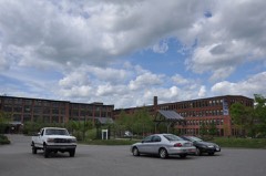 | Parkhill Mill | 0.4 miles | 2008 |
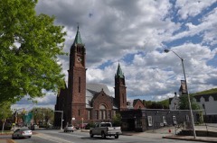 | Calvinistic Congregational Church | 0.5 miles | 1979 |
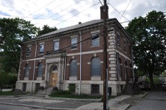 | Fitchburg Historical Society | 0.6 miles | 2003 |
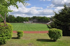 | Crocker Field Historic District | 0.6 miles | 2001 |
| Academy Street Educational Historic District | 0.6 miles | 2025 | |
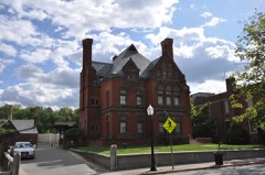 | Fay Club | 0.7 miles | 1978 |
| National Archives record | The nomination case file for reference 16000817 in Record Group 79. |
| Wikipedia article | Community-written account of this property, licensed CC BY-SA. |
| Worcester County | All 686 listed properties in this county. |