Built in 1871. Listed on the National Register of Historic Places in
1974. A historic map-sheet match is not published yet. The record needs a coordinate-quality review before it can be joined to a sheet boundary.
From the record
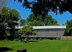
“The Martinsville Road Covered Bridge, west of Martinsville, Ohio in Clark Township, Clinton County, Ohio, was built in 1871. It was listed on the National Register of Historic Places in 1974.”
Wikipedia article Martinsville Road Covered Bridge, CC BY-SA 4.0.
one of 11 National Register listings in Clinton County · listed in 1974 · category: Structure · built in 1871.
National Register reference number.74001421- the number the National Park Service assigned this property when it was listed, and the key its nomination file is catalogued under at the National Archives.
Clark township la bounded on the east by Greene township, of Clinton county ; on the southeast and south by Highland county; on the west by Brown county and Jefferson township, of Clinton county, and on the northwest and north by Washington township. It Is located In the southern part of the county and extends further south than any other portion of the county. It is very irregular In shape. A line drawn between the extrcmest points north nnd south would extend about nine miles and such a line across the center, east and west, would measure about six and a half miles. Its area Includes about twenty-three thousand Are hundred acres of land. This section was part of the Virginia military district and, prior to the organization of Clinton county in 1810. the eastern portion was Included In Illghland county and the western portion was embraced In Warren county, the line between the two being about one-half mile west of the present site of Martinsville. From 1810 to 1817, the portion east of this line was included In Crcen township, that west of the line. In Vernon. A petition, signed by many citizens of this section of the county, was presented to the codnty commissioners on July 14. 1S10, asking that a new township be organized with the boundaries as they are at present, except that it extended northward to Cowan's creek, thus including nil the eastern portion of Washington township. It was reduced to Its present confines by the establishment of Washington township in 1835.
Tradition has It thnt Thomas Johns was the first to settle within the present bounds of Clark township. He is said to have located on the Bast fork, about three miles southenHt of the present site of Martinsville. Nothing about the place of bis birth or of the date of his settlement can be ascertained. However, it Is known that Isaac Miller settled about three miles east of Martinsville. The story is told that Mr. Miller, needing a hoe. Journeyed sixteen miles on foot through the forests to New Market In Highland county to make his purchase. Joseph McKibben also settled about the same time In the same neighborhood. In 1806. John Wright came from North Carolina, bought the present site of Martinsville, for two dollars an acre, and settled there. He was mainly Instrumental in the laylng-out of that village and erected the first bouse within Its limits. A daughter of bis was the first person to be Interred In the Friend's graveyard at Martinsville. By the year 1808, Samuel McCulloch had settled on East fork, four miles southeast of Martinsville, and Isaac Van Meter and John Jones near the present site of Lynchburg.
Regional context, not property-specific
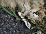
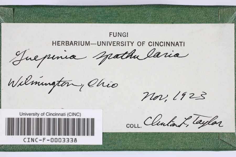
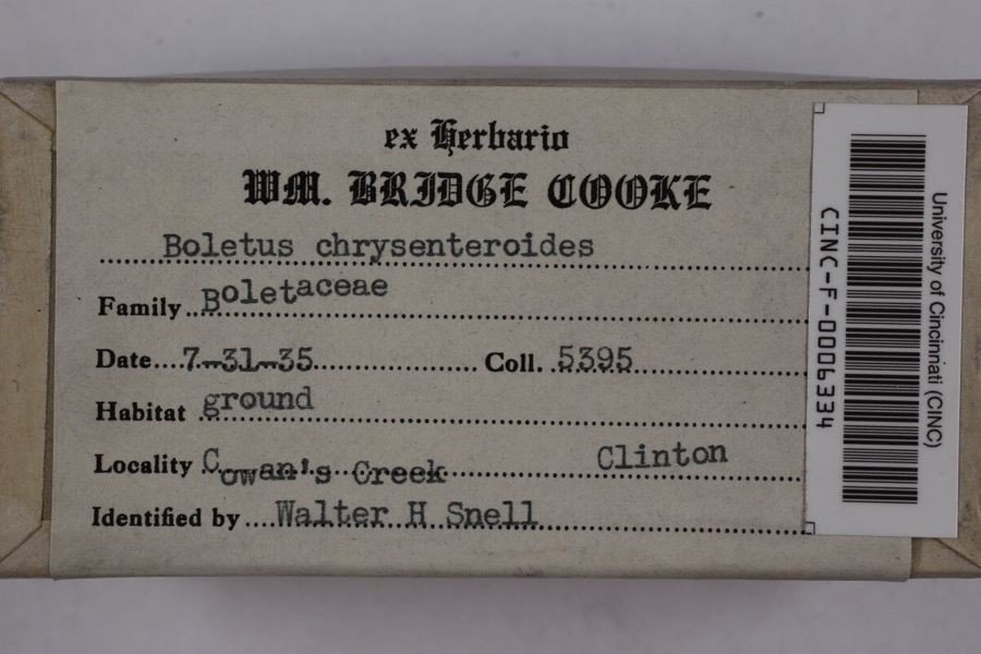
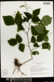
evidence. Museums hold 488 specimens
collected within 10 miles of Martinsville Road Covered Bridge between 1892 and
1974: 406 Animalia, 56 Fungi, 23 Plantae, 3 Unrecorded. 12 distinct Species records are shown.
Collected by A. R. Gaufin, A.R. Gaufin, H.H. Ross, Allen, A. (Avery) and others. Each is a
physical object with a catalogue
number, and each entry opens the museum's record. This is what was
collected and kept, not a survey of what lives here - nothing can be
concluded from a species being absent.
Regional context, not property-specific
evidence. The National Weather Service names
Martinsville, the town this property stands in, in 15 storm reports between 1997 and 2025: 7 thunderstorm wind, 6 hail, 2 tornado.
No death or injury is recorded in these reports. Each account below is quoted exactly as the forecast office
filed it, from the NOAA Storm Events Database, and each date
opens the federal record of that event.
A brief tornado touchdown occurred along Jonesboro Road just southwest of Martinsville. A barn and a shed sustained damage, along with a few trees and numerous large limbs. The estimated wind speed was 65 mph.
No historic map-sheet match is published
for this property yet. That does not mean no map exists. This record needs
a coordinate-quality review before it can be joined to a sheet boundary.
Browse the county's mapped places while that work is
pending.
From the nomination file
1,480 words on record
When this property was proposed for the
National Register, someone wrote the case for it: what the building is,
and why it matters. That document is a federal record in the public domain.
It is quoted below word for word, never summarised. The text was read off the scanned case file by machine, so the
occasional stray character is the recogniser's and the 1970s
typewriter's.
Description of the property
earliest wooden bridge trusses and the multiple kingpost was This basic triangular kingpost truss Original Site ample of the multiple kingpost.The kingpost was one of the was extremely popular with ohio bridge builders. is the tension member. /system and steel gussets were added to the apex of each truss PERIOD (Check One or More as Appropriate) - Pre-Columbian! - 15th Century - Urban Planning Other (Specify) STATEMENT OF
Statement of significance
from county records. In 1872, Zimri Wall, his brother Jona- dents of the county. It is an attractive, well-built bridge APR 2 3 1974 Communications Conservation Commerce losophy Aboriginal Architecture Engineering Transportation SIGNIFICANCE Theater REGISTER NATIONAL Literature Prehistoric Landscape Music Science itarian Agriculture Industry Social/Human- Invention multiple kingpost truss type of construction so popular in Political Education The Martinsville Road Bridge is an excellent example of the for years to come. still carrying daily traffic and should be capable of serving Martinsville Road Bridge to be their oldest bridge still in The Martinsville Road Covered Bridge takes its name from the last such structure wholly within Clinton County.
Military Sculpture Religion/Phi- RECEIVED SPECIFIC DATE(S) (It Applicable and Known) 1871 AREAS OF SIGNIFICANCE (Check One or More as Appropriate) Art other information on the building of this bridge are missing the nation's oldest bridge-building companies still in busi- existance today.In addition, this covered bridge is the early Ohio.This bridge is a source of pride to the resi- in l87l by Zimri Wall.It is unfortunate that the costs and Wilmington, ohio, 1972, pages 6-9. 1, Clinton County. DEFINING A RECTANGLE LOCATING THE PROPERTY DEFINING THE CENTER POINT OF A PKOPERTY W8 3° 50- 05 - APR 2 3 1974
Quoted from the National Register nomination
for reference 74001421, 12 pages, held by the National Archives in Record
Group 79. See the
catalogue record.
Listed places nearby
5 within 8 miles
Other National Register properties close
enough to walk or drive between, ordered by distance from this one. Both
positions come from the same geocoding pass that matched these properties
to their map sheets.
Listing record. National Park Service National Register of Historic Places, listed-properties dataset, current to 2026-05-22.
Map join. Address geocoded through the United States Census geocoder, then tested against the published boundary of every sheet in the USGS Historical Topographic Map Collection.
How this page is made. Listing fields come from federal records; map-sheet coverage is a labelled coordinate-to-boundary calculation, not a source-field claim.
Specimens. Global Biodiversity Information Facility (GBIF), https://www.gbif.org/. Only records licensed CC0 or CC BY are used. Records licensed CC BY-NC are excluded because this site carries advertising. Images are checked individually and any whose licence is non-commercial, no-derivatives or unreadable is refused.
Storms. NOAA National Centers for Environmental Information, Storm Events Database https://www.ncei.noaa.gov/stormevents/ A work of the United States government, no copyright under 17 U.S.C. 105. Narratives are quoted verbatim from the National Weather Service report and are not edited or summarised.
 Block
Block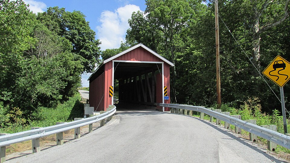

_BHL4428192.jpg)