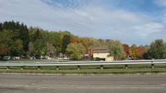
National Register reference number.74001424- the number the National Park Service assigned this property when it was listed, and the key its nomination file is catalogued under at the National Archives.
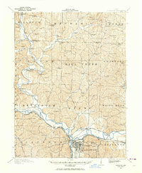
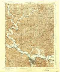
Then and now
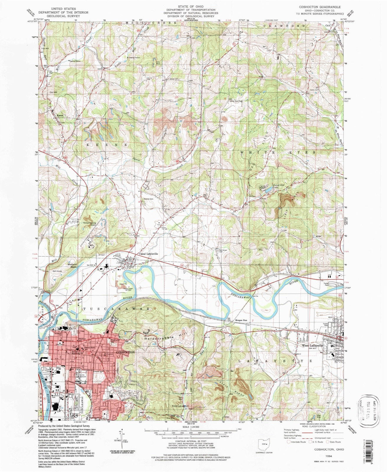
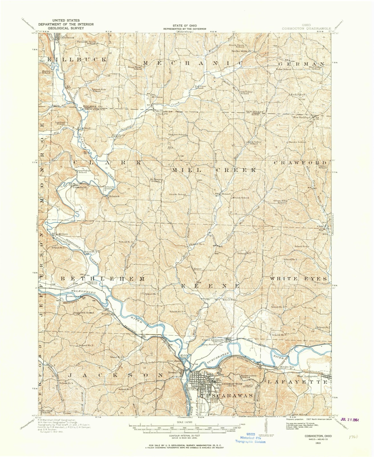
1913 to 1994
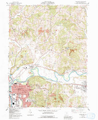
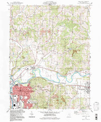
The ground this property stands on, surveyed
81 years apart. Drag the handle to wipe between them. Both sheets are
United States Geological Survey originals; neither has been altered.
In apportioning the pages of Coshocton County history it has been necessary to keep ever in view a vital Present as well as a vivid Past; to dwell not unduly on the Old, and to treat justly of the New; to sketch the antiquity that was Moundbuilder and the barbarity that was Indian into the civilization which is Coshocton.
In apportioning the pages of Coshocton County history it. has been necessary to keep ever in view a vital Present as well as a vivid Past; to dwell not unduly on the Old, and to treat justly of the New; to sketch the antiquity that was Moundbuilder and the barbarity that was Indian into the civilization which is Coshocton.
Regional context, not property-specific
evidence. The
federal wildfire occurrence database
lists 19 fires within 5 miles of Johnson-Humrickhouse House
between 2007 and 2020, burning about 20 acres in total. None started naturally. None was recorded as arson.
Distance is straight-line from the map coordinates, so a fire counted
here may appear on a neighbouring settlement's page as well.
Reported cause
Fires
Debris and open burning
11
Missing data/not specified/undetermined
4
Smoking
2
Power generation/transmission/distribution
1
Recreation and ceremony
1
The most recent of
them, most recent first, with the day each was reported and the service
that recorded it.
Regional context, not property-specific
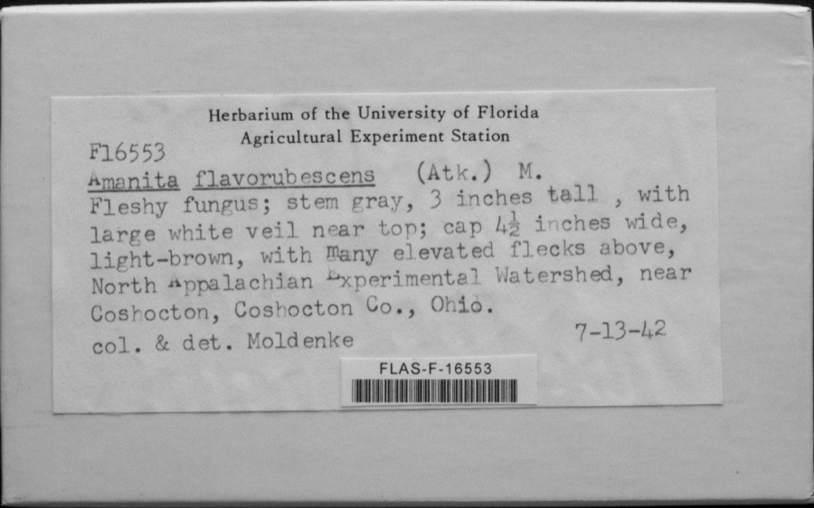
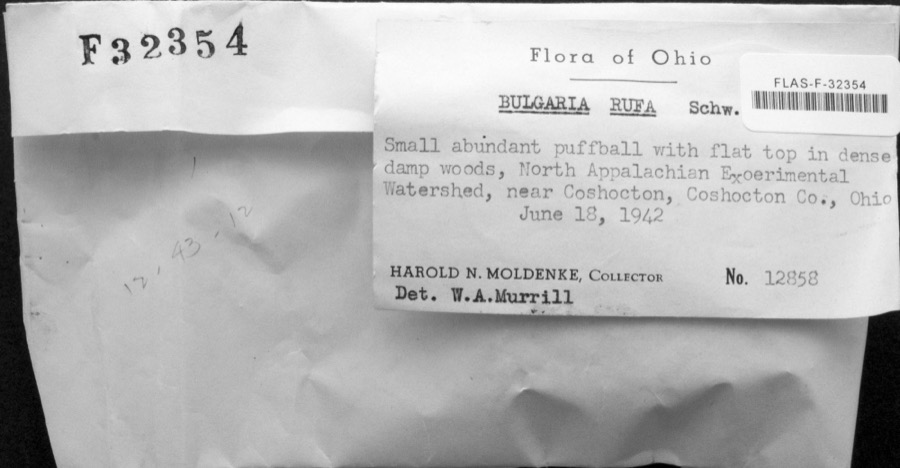
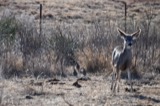
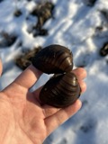
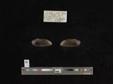
evidence. Museums hold 1,664 specimens
collected within 10 miles of Johnson-Humrickhouse House between 1846 and 1974: 876 Animalia, 654 Plantae, 124 Fungi, 4 Bacteria, 4 Protozoa, 2 Unrecorded.
12 distinct Species records are shown.
Collected by A. D. Huryn, A. Spreitzer, Albaugh, W. F. and others. Each is a
physical object with a catalogue
number, and each entry opens the museum's record. This is what was
collected and kept, not a survey of what lives here - nothing can be
concluded from a species being absent.
Regional context, not property-specific
evidence. The federal mineral resources record lists
4 workings within 5 miles of Johnson-Humrickhouse House: 2 past producers, 2 producers.
2 still produce. What was taken out: Sand and Gravel, Construction. Distance is straight-line from the
map coordinates, so a quarry counted here may appear on a neighbouring
settlement's page as well.
Regional context, not property-specific
evidence. The National Weather Service names
Coshocton, the town this property stands in, in 117 storm reports between 1994 and 2025: 71 thunderstorm wind, 25 hail, 16 flash flood, 4 flood.
No death or injury is recorded in these reports. Each account below is quoted exactly as the forecast office
filed it, from the NOAA Storm Events Database, and each date
opens the federal record of that event.
Local emergency manager reports trees and wires down across the county; 3 utility poles were snapped from the bottom in a row laying the same direction along Magnolia Street.
Trees and power lines blown down in Nellie, Coshocton, and Warsaw. Some fell on 12th St in Coshocton. 10 large trees fell in the Warsaw-West Lafayette area.
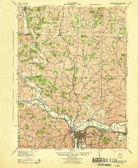
United States Geological Survey topographic
sheets whose coverage includes this point. Matched by taking the coordinate the National Park Service records for this property, then
testing that coordinate against the published boundary of every sheet.
When this property was proposed for the
National Register, someone wrote the case for it: what the building is,
and why it matters. That document is a federal record in the public domain.
It is quoted below word for word, never summarised. The text was read off the scanned case file by machine, so the
occasional stray character is the recogniser's and the 1970s
typewriter's.
Description of the property
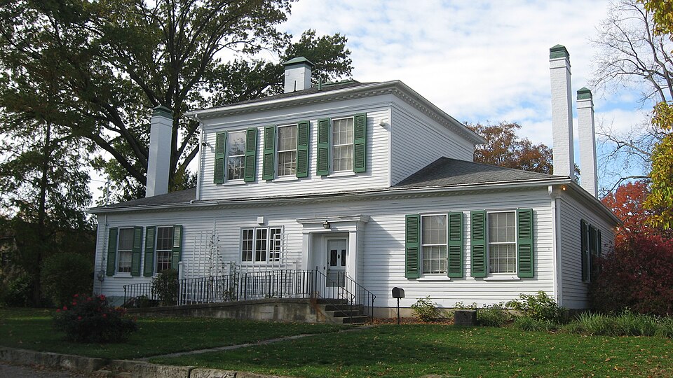
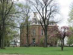
The Greek revival Pomerene House, located on a large, well-landscaped lot, has a square two-story center section flanked by one-story wings. A rear porch, identical to the one in the front of the house, was con- JUL 1 7 1974 CONDITION DESCRIPTION NATIONAL sidelights. REGISTER Moved Ruins Excellent the cornices are denticulated. six fireplaces are in working order. multipaned window.No other exterior fenestration or interior walls Both the center section and wings have flush siding on the west facade The Pomerenes have restored the home nearly to its original condition. porch.
There are three windows on the second floor of both the west were altered.All six of the original mantels remain and five of the to the left) on the first floor.The entrance has a glass transom and west, east and end facades. yerted into a modern kitchen. This enclosure has a single door and a of the wings.Two sets of steps with iron railings lead up to the (Check One) Good another around the wings, extending across the porches. The bases of The center section has a hip roof with a central chimney.The lower and east facades.The west facade has two windows and a door (placed There is a wide frieze around the center section and have shutters.
Fair PERIOD (Check One or More as Appropriate) - 20th Century SPECIFIC DATE(S) (If Applicable and Known) 1834 - Prehistoric - Science - Theater - Transportation he returned in 1833, he was elected prosecuting attorney, an office he where, after the death of her husband, she met and married James Renfew, Humrickhouse, a captain and one of Washington's officers in the The Pomerene home is a fine example of Greek revival archictecture and is 1 7 1974 Architecture Conservation NATIONAL Aboriginal
Statement of significance
William,started the first bank of Coshocton and were very successful and of Coshocton's most prosperous and early families. Social/Human- died two years later. Sculpture The home was built by George Willis Silliman who came to Coshocton from families until 1930 when it was sold to the Pomerene family. Political Other (Specify) AREAS OF SIGNIFICANCE (Check One or More as Appropriate) in excellent repair. It is also important for its connection with two Education active in state and local politics and as bankers and businessmen. family named Humrickhouse.All three boys married daughters of Peter The home was next owned by Margaret Johnson-Renfew.She had come to the which was organized by the Johnson family in the early 19oo's to house Art Robert Clark & Co., Cincinnati, 1876.
DEFINING A RECTANGLE LOCATING THE PROPERTY OF LESS THAN TEN ACRES 2 acres LIST ALL STATES AND COUNTIES FOR PROPERTIES OVERLAPPING STATE OR COUNTY BOUNDARJES JUL 1 71574
Quoted from the National Register nomination
for reference 74001424, 10 pages, held by the National Archives in Record
Group 79. See the
catalogue record.
Listed places nearby
6 within 8 miles
Other National Register properties close
enough to walk or drive between, ordered by distance from this one. Both
positions come from the same geocoding pass that matched these properties
to their map sheets.
Listing record. National Park Service National Register of Historic Places, listed-properties dataset, current to 2026-05-22.
Map join. Address geocoded through the United States Census geocoder, then tested against the published boundary of every sheet in the USGS Historical Topographic Map Collection.
How this page is made. Listing fields come from federal records; map-sheet coverage is a labelled coordinate-to-boundary calculation, not a source-field claim.
Wildfire. Short, Karen C. 2022. Spatial wildfire occurrence data for the United States, 1992-2020 [FPA_FOD_20221014]. 6th Edition. Fort Collins, CO: Forest Service Research Data Archive. https://doi.org/10.2737/RDS-2013-0009.6 Collected with United States Government funding and usable without additional permissions or fees.
Specimens. Global Biodiversity Information Facility (GBIF), https://www.gbif.org/. Only records licensed CC0 or CC BY are used. Records licensed CC BY-NC are excluded because this site carries advertising. Images are checked individually and any whose licence is non-commercial, no-derivatives or unreadable is refused.
Mines and quarries. USGS Mineral Resources Data System (MRDS) https://mrdata.usgs.gov/mrds/ A work of the United States government, no copyright under 17 U.S.C. 105.
Storms. NOAA National Centers for Environmental Information, Storm Events Database https://www.ncei.noaa.gov/stormevents/ A work of the United States government, no copyright under 17 U.S.C. 105. Narratives are quoted verbatim from the National Weather Service report and are not edited or summarised.
 Block