BlockBefore

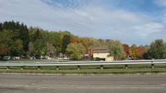
Samuel Lee House

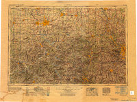
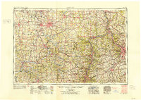
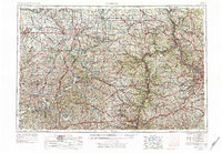
Listed on the National Register of Historic Places in 1979. 9 historic topographic surveys show this location, the earliest from 1913.

From the record

One of 20 National Register listings published here for Coshocton County · listed in 1979 · category: Building.

Sources: the case file at the National Archives · the National Register database, National Park Service

The listing

  • What is counted as historic. The nomination lists 3 buildingss as contributing to the listing.
  • Listed as. Lee, Samuel, House - the National Register files a house under its owner's surname.
  • Address. 306 4th St, Coshocton, 43812
  • When was it listed? 1979-12-06
  • Category. building
  • City. Coshocton city
  • National Register reference number. 79001796 - the number the National Park Service assigned this property when it was listed, and the key its nomination file is catalogued under at the National Archives.

Then and now

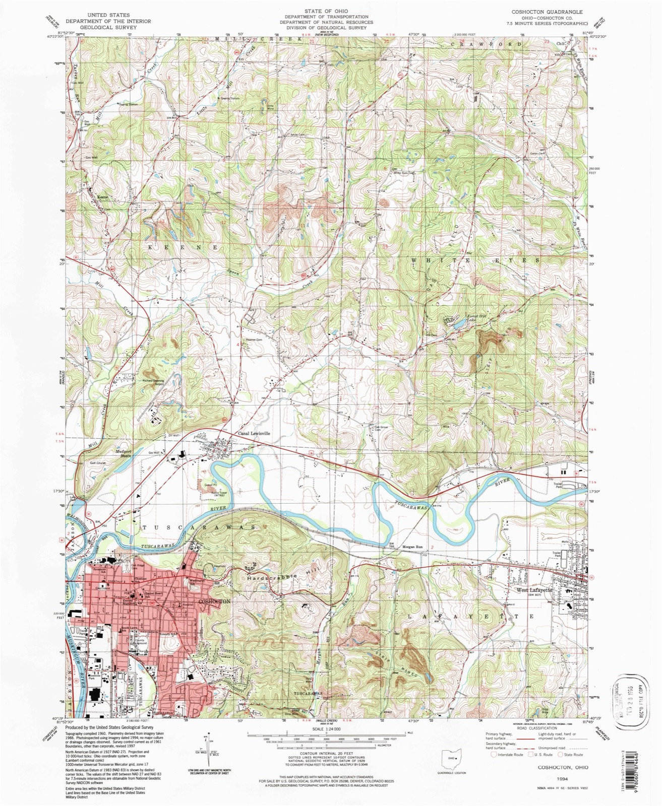
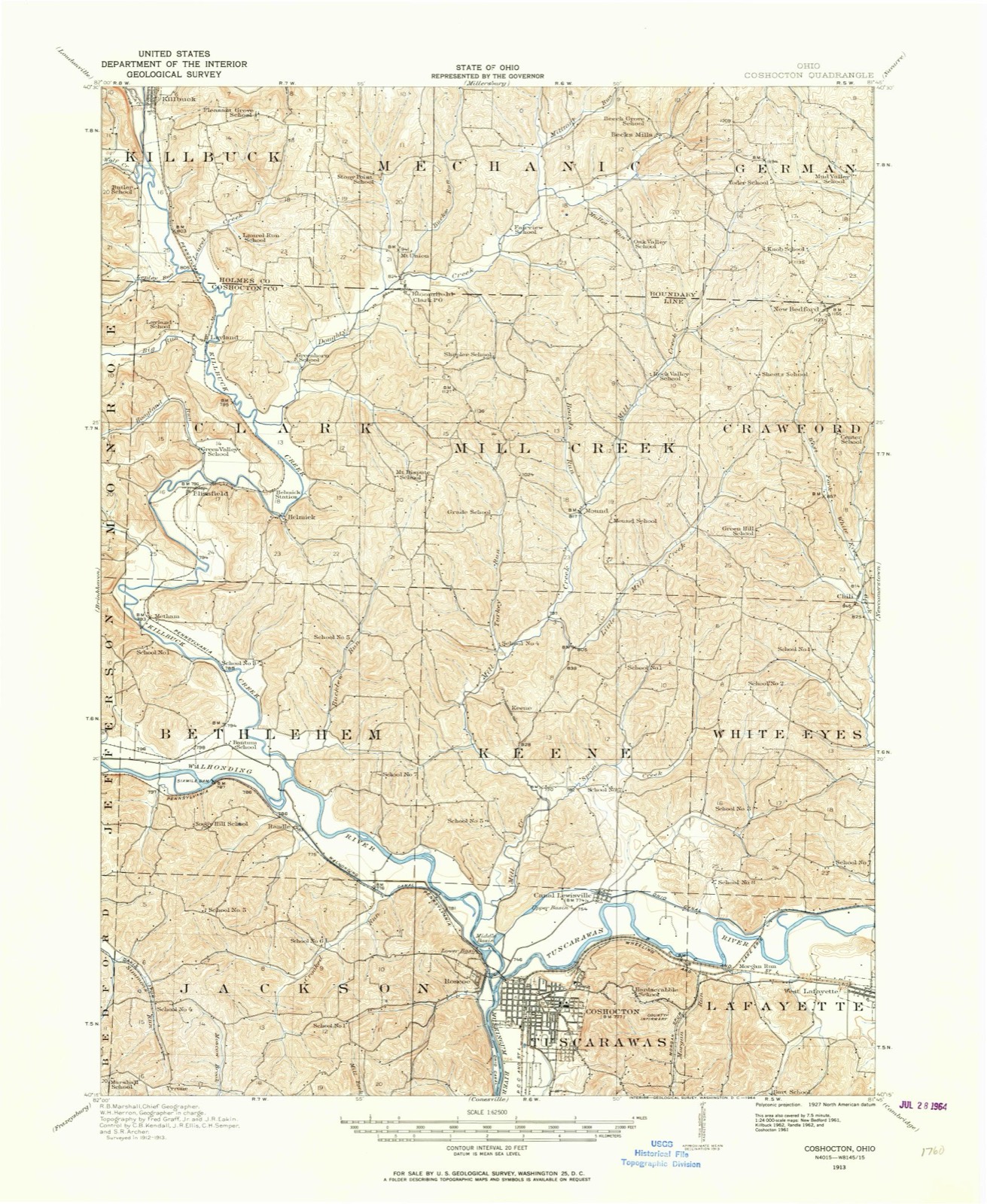
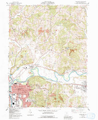
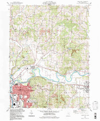
1913 to 1994

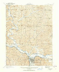
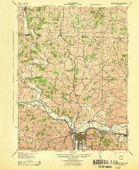
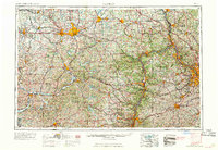
The ground this property stands on, surveyed 81 years apart. Drag the handle to wipe between them. Both sheets are United States Geological Survey originals; neither has been altered.

Topographic sheet covering Samuel Lee House, surveyed 1994
Topographic sheet covering Samuel Lee House, surveyed 1913

The ground it stands on

4,445 words

The chapter on Coshocton City in Centennial History of Coshocton County, Ohio, published 1909; Centennial History Coshocton County Ohio, published 1909 names Coshocton. This is what it says, exactly as the scans read.

In apportioning the pages of Coshocton County history it has been necessary to keep ever in view a vital Present as well as a vivid Past; to dwell not unduly on the Old, and to treat justly of the New; to sketch the antiquity that was Moundbuilder and the barbarity that was Indian into the civilization which is Coshocton.

Passage source: Centennial History of Coshocton County, Ohio, published 1909.

In apportioning the pages of Coshocton County history it. has been necessary to keep ever in view a vital Present as well as a vivid Past; to dwell not unduly on the Old, and to treat justly of the New; to sketch the antiquity that was Moundbuilder and the barbarity that was Indian into the civilization which is Coshocton.

Passage source: Centennial History Coshocton County Ohio, published 1909.

Machine-read from a century-old scan, so expect the errors a machine makes: misspelled names, dropped words, stray characters.

Read the whole chapter on Coshocton City - 4,445 words on its settlement, mills, schools and churches.

Fires near this property

18 since 2007

Regional context, not property-specific evidence. The federal wildfire occurrence database lists 18 fires within 5 miles of Samuel Lee House between 2007 and 2020, burning about 19 acres in total. None started naturally. None was recorded as arson. Distance is straight-line from the map coordinates, so a fire counted here may appear on a neighbouring settlement's page as well.

Reported cause Fires
Debris and open burning10
Missing data/not specified/undetermined4
Smoking2
Power generation/transmission/distribution1
Recreation and ceremony1

The most recent of them, most recent first, with the day each was reported and the service that recorded it.

DateCause SizeReported by Name on the report
28 June 2016Smokingunder an acreOhio Department of Natural Resources5106
6 April 2013Debris and open burningunder an acreOhio Department of Natural Resourcesnot named
23 April 2020Debris and open burningunder an acreOhio Department of Natural Resources15666
23 April 2007Recreation and ceremonyunder an acreOhio Department of Natural Resourcesnot named
21 April 2007Missing data/not specified/undetermined2.0 acresOhio Department of Natural Resourcesnot named
21 April 2007Debris and open burning2.0 acresOhio Department of Natural Resourcesnot named
20 April 2007Debris and open burningunder an acreOhio Department of Natural Resourcesnot named
19 April 2015Power generation/transmission/distributionunder an acreOhio Department of Natural Resources962

Every fire recorded in Coshocton County

Specimens collected near this property

12 of 1,666 shown

Regional context, not property-specific evidence. Museums hold 1,666 specimens collected within 10 miles of Samuel Lee House between 1846 and 1974: 877 Animalia, 655 Plantae, 124 Fungi, 4 Bacteria, 4 Protozoa, 2 Unrecorded. 12 distinct Species records are shown. Collected by A. D. Huryn, A. Spreitzer, Albaugh, W. F. and others. Each is a physical object with a catalogue number, and each entry opens the museum's record. This is what was collected and kept, not a survey of what lives here - nothing can be concluded from a species being absent.

Image SpeciesYear Collected by Where, as recorded
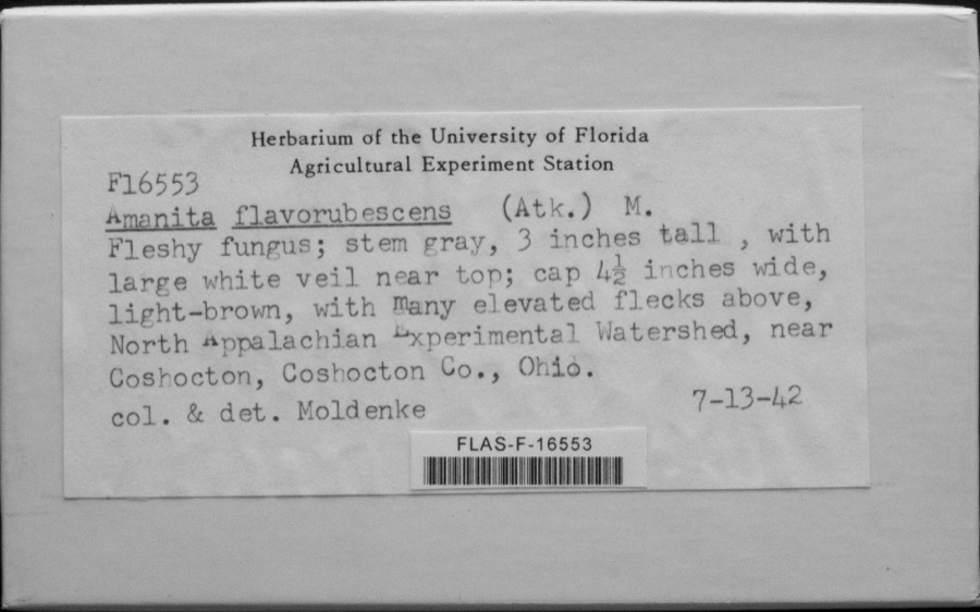
Specimen of Amanita flavorubescens G.F.Atk.Amanita flavorubescens G.F.Atk.1942ModenkeWhite Eyes; North Appalachian Experimental Watershed
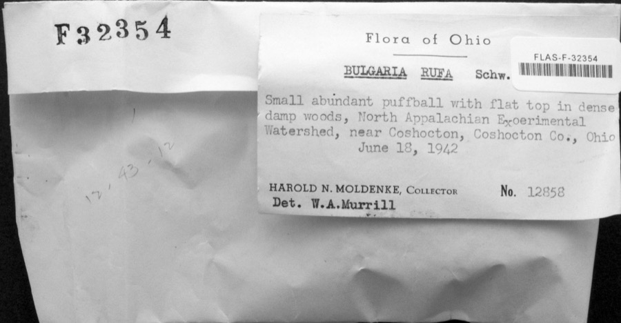
Specimen of Bulgaria rufa Schwein.Bulgaria rufa Schwein.1942H. MoldenkeCoshocton, North Appalachian Experimental Watershed
Specimen of Calvatia rubroflava (Cragin) LloydCalvatia rubroflava (Cragin) Lloyd1942H. MoldenkeCoshcoton; N. Appl. Exp. Watershed, near Coshocton
A photograph of the species Tortula obtusifolia, not of this specimenTortula obtusifolia (Schwägr.) Mathieu1846W. S. Sullivant
A photograph of the species Colinus virginianus, not of this specimenColinus virginianus virginianus (Linnaeus, 1758)1892No Person (Birds)Coshocton Co
A photograph of the species Sturnella magna, not of this specimenSturnella magna magna (Linnaeus, 1758)1892No Person (Birds)Coshocton Co
A photograph of the species Empidonax virescens, not of this specimenEmpidonax virescens (Vieillot, 1818)1898Williamson, E. B.Cavallo, Coshocton, Ohio, USA
A photograph of the species Alasmidonta marginata, not of this specimenAlasmidonta marginata Say, 18181903Sterki, VictorCoshocton
A photograph of the species Cyprogenia stegaria, not of this specimenCyprogenia stegaria (Rafinesque, 1820)1903Sterki, VictorCoshocton
A photograph of the species Eurynia dilatata, not of this specimenEurynia dilatata (Rafinesque, 1820)1903Sterki, VictorCoshocton
A photograph of the species Fusconaia flava, not of this specimenFusconaia flava (Rafinesque, 1820)1903Sterki, VictorCoshocton
A photograph of the species Hemistena lata, not of this specimenHemistena lata (Rafinesque, 1820)1903Sterki, VictorCoshocton

All 1,666 specimens within 10 miles, at the Global Biodiversity Information Facility.

Mines and quarries near this property

4 within 5 miles

Regional context, not property-specific evidence. The federal mineral resources record lists 4 workings within 5 miles of Samuel Lee House: 2 past producers, 2 producers. 2 still produce. What was taken out: Sand and Gravel, Construction. Distance is straight-line from the map coordinates, so a quarry counted here may appear on a neighbouring settlement's page as well.

Where SiteCommodity StatusRecorded
Apache No. 1 PitSand and Gravel, ConstructionProducer
Boyd Gravel Company PitSand and Gravel, ConstructionPast ProducerSedimentary
Boyd Gravel Company PitSand and Gravel, ConstructionProducer
Number 1 PitSand and Gravel, ConstructionPast ProducerSedimentary

Every working recorded in Coshocton County

Storms near this property

60 of 117 shown

Regional context, not property-specific evidence. The National Weather Service names Coshocton, the town this property stands in, in 117 storm reports between 1994 and 2025: 71 thunderstorm wind, 25 hail, 16 flash flood, 4 flood. No death or injury is recorded in these reports. Each account below is quoted exactly as the forecast office filed it, from the NOAA Storm Events Database, and each date opens the federal record of that event.

WhenEvent Place namedHarm What the report says
July 2008Thunderstorm WindCoshocton$100,000Law enforcement reported numerous trees down in Coshocton and across the county.
June 2008Thunderstorm WindCoshocton$100,000Law enforcement reported numerous trees down around Coshocton and across the county.
August 2007Thunderstorm WindCoshocton$100,000Emergency management reported trees down in Coshocton and countywide.
April 2011Thunderstorm WindCoshocton$75,000Trees were down from Coshocton on County Road 24 to West Lafayette.
July 2013Flash FloodCoshocton$50,000Law enforcement reported numerous roads closed due to flash flooding along State Route 36.
October 2010Thunderstorm WindCoshocton$50,000Law enforcement reported numerous trees and power poles down around Coshocton.
June 2010Flash FloodCoshocton$50,000Emergency management reported several roads closed due to flash flooding south and east of Coshcocton.
April 2011Thunderstorm WindCoshocton$35,000Law enforcement reported trees down on a mobile home on County Road 24 in Coshocton.
June 2011Thunderstorm WindCoshocton$35,000Emergency management reported trees down in Coshocton.
June 2022Thunderstorm WindCoshocton$30,000Local emergency manager reports trees and wires down across the county; 3 utility poles were snapped from the bottom in a row laying the same direction along Magnolia Street.
June 2020Thunderstorm WindCoshocton$25,000A tree was reported to have heavily damaged a house on Park Avenue.
November 2013Thunderstorm WindCoshocton$25,000The 911 Call Center reported a large 75 foot pine tree snapped and hit a transformer causing power outages.
March 2011FloodCoshocton$25,000Emergency management reported several roads still closed due to stnading waters as well as from creeks still out of their banks.
June 2020Thunderstorm WindCoshocton$20,000Trees were reported to be blown down across the city of Coshocton.
June 2012Thunderstorm WindCoshocton$20,000Trained spotter reported multiple trees down, power outages, and structural damage.
August 1998Thunderstorm WindCoshocton$15,000A large tree was uprooted and landed on a house.
April 2023Thunderstorm WindCoshocton$10,000The local 911 Call Center reported trees and power lines down around the town of Coshocton.
June 2020Thunderstorm WindCoshocton$10,000Trees were downed by wind near the intersection of Chestnut Street and North 2nd Street.
August 2014FloodCoshocton$10,000A trained spotter reported several basements and roads flooded in Coshocton.
August 2004Thunderstorm WindCoshocton$10,000Trees and power lines blown down in Nellie, Coshocton, and Warsaw. Some fell on 12th St in Coshocton. 10 large trees fell in the Warsaw-West Lafayette area.
April 2025Thunderstorm WindCoshocton$8,000Porch and shingle damage.
May 2006Thunderstorm WindCoshocton$6,000Numerous large trees down.
August 2006Thunderstorm WindCoshocton$6,000Trees and power lines blown down.
July 2023Thunderstorm WindCoshocton$5,000Trees were reported to have fell on houses on both South 16th Street and Wilson Avenue.
July 2023Thunderstorm WindCoshocton$5,000A tree was reported to be downed on power lines, causing a fire.
June 2013Thunderstorm WindCoshocton$5,000A Trained spotter reported multiple trees down at Mulberry and 4th Street in Coshocton.
June 2013Thunderstorm WindCoshocton$5,000Trained spotter reported a steel roof blown off of a building in the center of town.
June 2013FloodCoshocton$5,000Department of Highways reported flooding on State Route 83, just south of Coshocton.
June 2012Thunderstorm WindCoshocton$5,000Trained spotter reported multiple trees down.
June 2012Thunderstorm WindCoshocton$5,000Local law enforcement reported trees down on route 146, County Road 10, and Country Road 271 in Coshocton.
May 2011Thunderstorm WindCoshocton$5,000A trained spotter reports numerous trees and power lines down on Chestnut St.
May 2004Thunderstorm WindCoshocton$5,00060 mph wind blew down trees and power lines.
July 2003Thunderstorm WindCoshocton$5,000Trees and power lines blown down by wind.
July 2002Thunderstorm WindCoshocton$5,000Thunderstorm winds downed several trees.
August 2002Thunderstorm WindCoshocton$5,000Thunderstorm winds downed several large trees and power lines between State Routes 621 and 36.
June 1994Thunderstorm WindCoshocton$5,000Large limbs downed, some on power lines.
June 1994Thunderstorm WindCoshocton$5,000Trees were downed along Route 32.
June 1994Thunderstorm WindCoshocton$5,000Trees were downed.
October 2001Thunderstorm WindCoshocton$5,000no account filed
June 2013Thunderstorm WindCoshocton$4,000The public reported a roof was blown off of a house on West Pine Street.
August 2006Thunderstorm WindCoshocton$4,000Trees down.
April 2025Thunderstorm WindCoshocton$3,000Multiple trees and limbs were reported down along Cambridge Road.
August 2024Thunderstorm WindCoshocton$3,000Tree damage was reported in Coshocton.
July 2005Thunderstorm WindCoshocton$3,000Trees down.
October 1999Thunderstorm WindCoshocton$3,000Thunderstorm winds downed several trees.
July 1999Thunderstorm WindCoshocton$3,000Thunderstorm winds downed several trees.
May 2002Thunderstorm WindCoshocton$2,000Thunderstorm winds downed a few large trees at the intersection of County Road 26 and Township Road 24.
September 2000Thunderstorm WindCoshocton$2,000Thunderstorm winds downed a few large trees onto County Road 58.
June 1998Thunderstorm WindCoshocton$2,000Thunderstorm winds blew a large tree down.
May 1998Thunderstorm WindCoshocton$2,000Thunderstorm winds downed a few trees.
November 1996Thunderstorm WindCoshocton$2,000no account filed
July 2021Thunderstorm WindCoshocton$1,000A tree was blown down on Denman Avenue.
July 2021Thunderstorm WindCoshocton$1,000A tree was blown down on Cambridge Road.
May 2017Thunderstorm WindCoshocton$1,000Amateur Radio reported trees down.
September 2000Thunderstorm WindCoshocton$1,000Thunderstorm winds downed a large tree.
July 2000Thunderstorm WindCoshocton$1,000Thunderstorm winds downed several large tree limbs along CR 16.
July 1998Thunderstorm WindCoshocton$1,000A tree was downed onto a county road.
July 1997Thunderstorm WindCoshocton$1,000Thunderstorm winds downed large branches.

Every storm recorded in Coshocton County

Maps showing this location

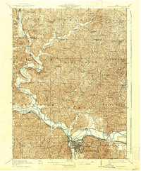
9 surveys

United States Geological Survey topographic sheets whose coverage includes this point. Matched by taking the coordinate the National Park Service records for this property, then testing that coordinate against the published boundary of every sheet.

From the nomination file

2,665 words on record

When this property was proposed for the National Register, someone wrote the case for it: what the building is, and why it matters. That document is a federal record in the public domain. It is quoted below word for word, never summarised. The text was read off the scanned case file by machine, so the occasional stray character is the recogniser's and the 1970s typewriter's.

Description of the property

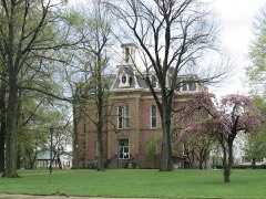
rectangular in plan, and featuring long rectangular window openings, corner pilasters is used on the front of the house, which lies behind the portico. An ornate front dation and features simple long 'rectangular window opeñings with stone sills and the cornice of the main section and is crowned by a simple low hip roof. Originally, 'about' a ten foot space existed between the brick and frame portions of the house, however, the frame section was extended in the late nineteenth century to connect These changes include black marble fireplaces, sliding wood doors and new window House, which is located on the corner.

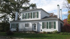
In the rear of this middle lot is an old At present, the house is in deteriorating condition, due to the past thirteen CONDITION UNEXPOSED MOVED _UNALTERED GOOD and an ambitious restoration program has been formulated by the Coshocton County direct view. CHECK ONE The property actually consists of three lots.A small Greek Revival cottage is contains many of the original furnishings belonging to the Wilson family and dating Senior citizens group for its continued use as a senior social center. has an open stairway and woodwork dating from the Italianate period.The house have Greek Revival fireplaces that may have originally been in the downstairs underwent extensive alterations in the 1870s which give it an Italianate character.

_DETERIORATED brick carriage barn, two stories in height and featuring simple wood trim.Large entrance is a later alteration and consists of a pair of Italianate doors with standing feature of this early Federal style house.Above the portico isa back more than one hundred years. sash.The open stairway in front appears tobe original and the upstairs rooms shade trees in the tree lawns and on the corner help to conceal the house from _FAIR DATE.

Read the complete 2,665-word case file.

Statement of significance

The Samuel Lee House is significant because of its outstanding architecture, for its history as one of the earliest: buildings in town, home of Coshocton's first of architecture, which is rare in this region and in Ohio. .It has a two story on the interior and on the front doorway, the excellent craftmanship of these separate structure for use as a cabinet factory.

About the time of the Civil War, The house remained in the Wilsons' ownership until this past year., when it was 1800-1899 1400-1499 1700-1799 COMMERCE INVENTION ARCHEOLOGY-HISTORIC PERIOD BUILDER/ARCHITECT THEATER AGRICULTURE RELIGION 1600-1699 SIGNIFICANCE _EXPLORATION/SETTLEMENT _POLITICS/GOVERNMENT MILITARY _COMMUNICATIONS _CONSERVATION _TRANSPORTATION ARCHEOLOGY-PREHISTORIC _ECONOMICS newer features make them quite remarkable and worthy of preservation.In fact, willed to the county commissioners for use as a senior citizens center. included remodeling of the front and rear sections and their connection by a wood _ENGINEERING XINDUSTRY complexity and richness that is seldom found.

-LITERATURE XARCHITECTURE _PHILOSOPHY doctor and later used as a.cabinet works: It..is:an example.of the Federal style building's Federal character has been altered by the use of Italianate features George and Joshiah Dewey who operated a cabinet factory here for many years. the overlay of Italianate ornament on a Federal style house adds a level of -1500-1599 _PREHISTORIC _MUSIC - LAW and probably built this house around 1830. The property was acquired in 1846 by is possible that they built the large brick portion, with its tall ceilings, as a the house was acquired by the Wilson family. Under the Wilson's family ownership, the house underwent considerable expansion and alterations around 1877. These Samuel Lee was Coshocton's first doctor.He owned a large tract of land here

The whole case file for this property - 2,665 words, 15 pages, reproduced complete.

Quoted from the National Register nomination for reference 79001796, 15 pages, held by the National Archives in Record Group 79. See the catalogue record.

Listed places nearby

6 within 8 miles

Other National Register properties close enough to walk or drive between, ordered by distance from this one. Both positions come from the same geocoding pass that matched these properties to their map sheets.

Photograph PropertyDistance Listed
Old Union School0.1 miles1984
Coshocton County Courthouse0.2 miles1973
J.F. Meek Buildings0.2 miles1985
Coshocton Main Street Historic District0.2 miles2019
Johnson-Humrickhouse House0.4 miles1974
Roscoe Village0.6 miles1973

Sources for this property

National Archives recordThe nomination case file for reference 79001796 in Record Group 79.
Coshocton CountyAll 20 listed properties in this county.

Provenance

  • Listing record. National Park Service National Register of Historic Places, listed-properties dataset, current to 2026-05-22.
  • Map join. Address geocoded through the United States Census geocoder, then tested against the published boundary of every sheet in the USGS Historical Topographic Map Collection.
  • How this page is made. Listing fields come from federal records; map-sheet coverage is a labelled coordinate-to-boundary calculation, not a source-field claim.
  • Wildfire. Short, Karen C. 2022. Spatial wildfire occurrence data for the United States, 1992-2020 [FPA_FOD_20221014]. 6th Edition. Fort Collins, CO: Forest Service Research Data Archive. https://doi.org/10.2737/RDS-2013-0009.6 Collected with United States Government funding and usable without additional permissions or fees.
  • Specimens. Global Biodiversity Information Facility (GBIF), https://www.gbif.org/. Only records licensed CC0 or CC BY are used. Records licensed CC BY-NC are excluded because this site carries advertising. Images are checked individually and any whose licence is non-commercial, no-derivatives or unreadable is refused.
  • Mines and quarries. USGS Mineral Resources Data System (MRDS) https://mrdata.usgs.gov/mrds/ A work of the United States government, no copyright under 17 U.S.C. 105.
  • Storms. NOAA National Centers for Environmental Information, Storm Events Database https://www.ncei.noaa.gov/stormevents/ A work of the United States government, no copyright under 17 U.S.C. 105. Narratives are quoted verbatim from the National Weather Service report and are not edited or summarised.