




BlockBefore
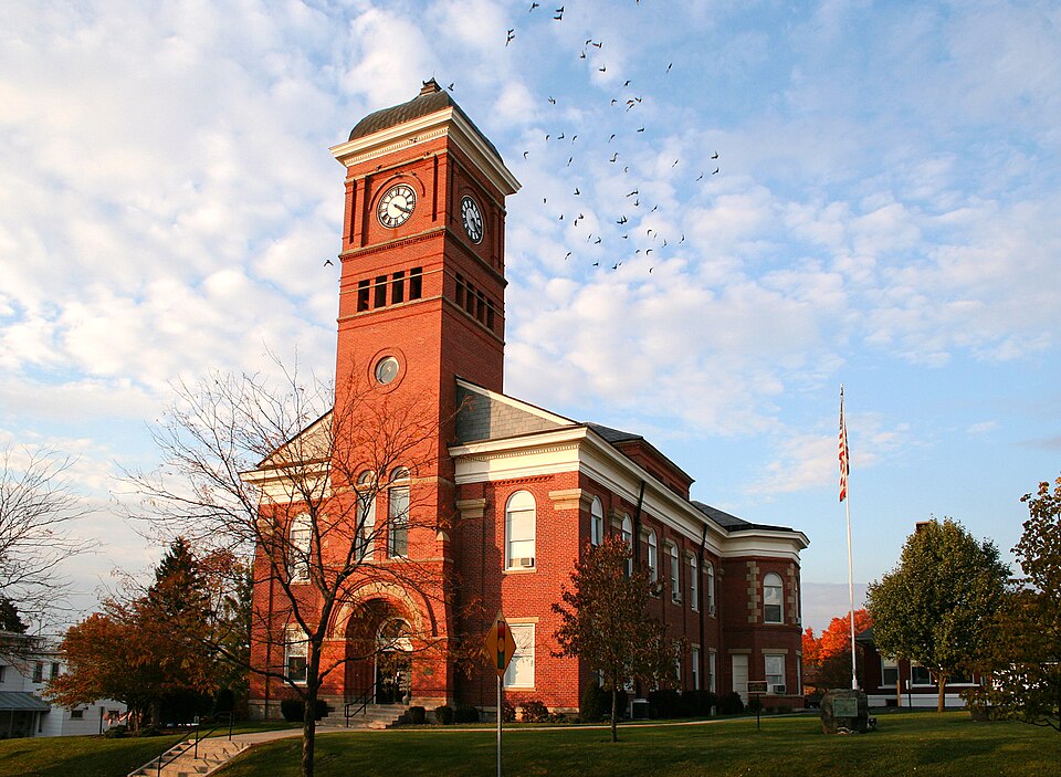
Photograph of Morrow County Courthouse
Photograph by Unknown, Public domain. Via Wikimedia Commons.

Morrow County Courthouse And Jail

Listed on the National Register of Historic Places in 1974. A historic map-sheet match is not published yet. The record needs a coordinate-quality review before it can be joined to a sheet boundary.

From the record

“The Morrow County Courthouse is a historic government building in the village of Mount Gilead, Ohio, United States. Constructed in the middle of the nineteenth century, it has served as the county courthouse since Morrow County's earliest years, and it has been named a historic site.”

Wikipedia article Morrow County Courthouse (Ohio), CC BY-SA 4.0.

one of 15 National Register listings in Morrow County · listed in 1974 · category: Building.

Sources: the Wikipedia article · the case file at the National Archives · the National Register database, National Park Service

The listing

  • What is counted as historic. The nomination lists 2 buildingss as contributing to the listing.
  • Address. Courthouse Sq., Mount Gilead, 43338
  • When was it listed? 1974-07-25
  • Category. building
  • Township. Gilead township
  • Architectural style. Greek Revival architecture
  • National Register reference number. 74001586 - the number the National Park Service assigned this property when it was listed, and the key its nomination file is catalogued under at the National Archives.

Specimens collected near this property

12 of 290 shown

Regional context, not property-specific evidence. Museums hold 290 specimens collected within 10 miles of Morrow County Courthouse And Jail between 1837 and 1975: 276 Animalia, 7 Plantae, 6 Fungi, 1 Unrecorded. 12 distinct Species records are shown. Collected by A. P. Morgan, Adler, K. K., Bird, C. and others. Each is a physical object with a catalogue number, and each entry opens the museum's record. This is what was collected and kept, not a survey of what lives here - nothing can be concluded from a species being absent.

Image SpeciesYear Collected by Where, as recorded
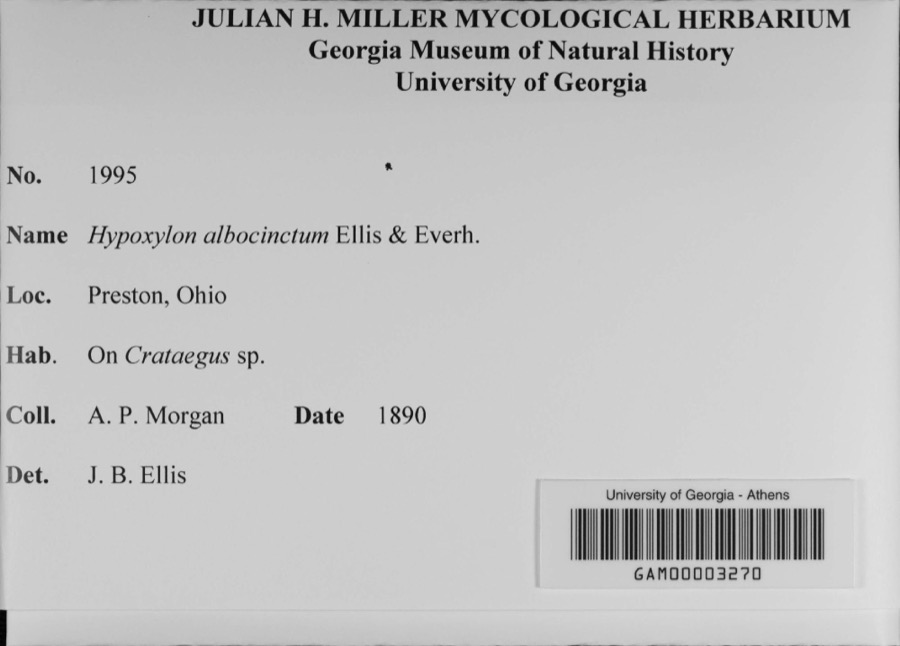
Specimen of Hypoxylon albocinctum Ellis & Everh.Hypoxylon albocinctum Ellis & Everh.1890A. P. MorganPreston
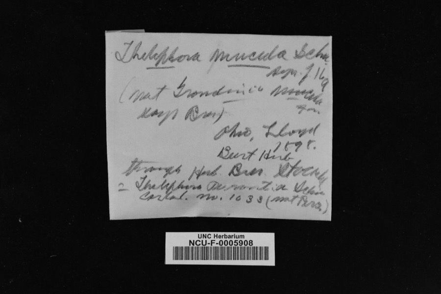
Specimen of Thelephora mucida (Pers. ex J.F.Gmel.) Fr.Thelephora mucida (Pers. ex J.F.Gmel.) Fr.1898LloydOhio
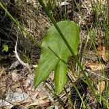
A photograph of the species Sagittaria latifolia, not of this specimenSagittaria latifolia Willd.1837Frank B
A photograph of the species Sicyos angulatus, not of this specimenSicyos angulatus P.J.Bergius1837Frank Bin civitatate Ohio
A photograph of the species Usnea florida, not of this specimenUsnea florida (L.) F.H.Wigg.1837not recorded
A photograph of the species Empidonax traillii, not of this specimenEmpidonax traillii (Audubon, 1828)1893Robertsunspecified
A photograph of the species Veronica officinalis, not of this specimenVeronica officinalis L.1897G. B. AshcroftRussell
A photograph of the species Carex shortiana, not of this specimenCarex shortiana Dewey & Torr.1901Kellerman W. A.
A photograph of the species Cirsium arvense, not of this specimenCirsium arvense (L.) Scop.1919W. J. CampbellEdison
Hypoxylon glomeratum Cooke1920C. G. Lloyd
A photograph of the species Rallus limicola, not of this specimenRallus limicola limicola Vieillot, 18191923Lyle D. MillerClaridon, Lake Aquilla
A photograph of the species Buteo jamaicensis, not of this specimenButeo jamaicensis borealis (Gmelin, 1788)1924Lyle D. MillerClaridon

All 290 specimens within 10 miles, at the Global Biodiversity Information Facility.

Mines and quarries near this property

1 within 5 miles

Regional context, not property-specific evidence. The federal mineral resources record lists 1 working within 5 miles of Morrow County Courthouse And Jail: 1 producer. All of them still produce. What was taken out: Phosphorus-Phosphates. Distance is straight-line from the map coordinates, so a quarry counted here may appear on a neighbouring settlement's page as well.

Where SiteCommodity StatusRecorded
Mount Gilead PlantPhosphorus-PhosphatesProducer

Every working recorded in Morrow County

Map coverage status

No historic map-sheet match is published for this property yet. That does not mean no map exists. This record needs a coordinate-quality review before it can be joined to a sheet boundary. Browse the county's mapped places while that work is pending.

From the nomination file

1,754 words on record

When this property was proposed for the National Register, someone wrote the case for it: what the building is, and why it matters. That document is a federal record in the public domain. It is quoted below word for word, never summarised. The text was read off the scanned case file by machine, so the occasional stray character is the recogniser's and the 1970s typewriter's.

Description of the property

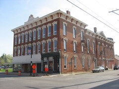
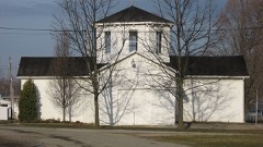
The two story Morrow County Courthouse was built 1851-1852 and re- construction. A blank frieze and denticular cornice under metal The walls are plain, and woodwork dates from the late nineteenth measures approximately fifty by thirty feet, including the late complete the building to the roof line. The mansard roof is covered and large, oval dormers. There is a central low lantern. Both buildings are in good condition, and are greatly enhanced by their FEB 1 2 1974 CONDITION REGISTER tilinear and measures approximately sixty by thirty feet.The building century remodeling. RECEIVED center hall with stairway located at the north end (rear) of the building. deeply recessed in a compound brick arch with smooth stone voussoirs.

mented hood on consoles.Denticular cornice and wooden box gutters flues for the numerous chimneys which were part of the original are pilastered with square brick pilasters that once formed the rests on a stone foundation. fifty feet above the ground.The shaft contains a belfry and above it nineteenth century addition to the cellblock area. The brick jail Fair (Check One) This arch forms the base of the tower which dominates the facade of The entrance is 1ocated on the south (front)side of the building, has a three bay front with the tower located in the center bay which X Good - Moved projects, forming the tower base and shaft. Windows throughout the setting in a park-like wooded area near the center of Mount Gilead.

Excellent the courthouse.Windows on the first and second floors are rectang- ceived a major alteration 1894-1896.This brick courthouse is rec- four clock faces set between square pilasters.The tower roof is pagoda- structure are rectangular double-hung sash.The openings have stone box gutters complete the walls.The tower is square and rises about with grey slate and has round-headed dormers.
Read the complete 1,754-word case file.

Statement of significance

Morrow County was formed February 24, 1848 from portions of Richland, Jeremiah Morrow who was Governor of Ohio from 1822 to 1826. Mount Gilead was laid out September 30, 1824 by Jacob Young. The town was founded as Whetsom and was generally known as Youngstown. In 1832 the state bonfires in the streets," lit to celebrate the naming of Mount Gilead With the celebration over, the county settled down to business. The $10,800, the building was a Greek Revival structure. Apparently by The Morrow County Jail was constructed circa 1875. An addition to the cell block area at the rear of the building was made sometime after 1890. Both the courthouse and jail are in good condition and should serve the county for many years.

FEB 1 2 1974 Architecture Commerce Communications Engineering Aboriginal Conservation Science REGISTER Religion/Phi losophy $27,948. NATIONAL Art Sculpture Music Agriculture Social/Human Political Industry Invention first courthouse constructed in Morrow is the present structure. as the county seat. the bui1ding.The remodeling took place from1894to 1896 and cost built 1851-1852 (1894-1896); jail, circa 1875 AREAS OF SIGNIFICANCE (Check One or More as Appropriate) Knox, Marion and Delaware Counties. The county was named for legislature changed its name to Mount Gilead, and the town was incor- the county seat.

According to Henry Howe, there were many "...great Designed by David Auld and built by Auld and Miller at a cost of the late 1880s either the building needed remodeling or the county emp loyed the architectural firm of Williams and Andrews to redesign porated in 1839. When Morrow County was formed in 1848 (Mount Gilead had been in Marion County until then) the legislature designated it as itarian

The whole case file for this property - 1,754 words, 12 pages, reproduced complete.

Quoted from the National Register nomination for reference 74001586, 12 pages, held by the National Archives in Record Group 79. See the catalogue record.

Listed places nearby

4 within 8 miles

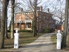
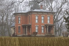
Other National Register properties close enough to walk or drive between, ordered by distance from this one. Both positions come from the same geocoding pass that matched these properties to their map sheets.

Photograph PropertyDistance Listed
Levering Hallunder 500 feet1980
Floral Hall0.4 miles1976
Trimble, James S., House0.4 miles1982
Brown, Samuel, P., House7.5 miles1982

Sources for this property

National Archives recordThe nomination case file for reference 74001586 in Record Group 79.
Wikipedia articleCommunity-written account of this property, licensed CC BY-SA.
Morrow CountyAll 15 listed properties in this county.

Provenance

  • Listing record. National Park Service National Register of Historic Places, listed-properties dataset, current to 2026-05-22.
  • Map join. Address geocoded through the United States Census geocoder, then tested against the published boundary of every sheet in the USGS Historical Topographic Map Collection.
  • How this page is made. Listing fields come from federal records; map-sheet coverage is a labelled coordinate-to-boundary calculation, not a source-field claim.
  • Specimens. Global Biodiversity Information Facility (GBIF), https://www.gbif.org/. Only records licensed CC0 or CC BY are used. Records licensed CC BY-NC are excluded because this site carries advertising. Images are checked individually and any whose licence is non-commercial, no-derivatives or unreadable is refused.
  • Mines and quarries. USGS Mineral Resources Data System (MRDS) https://mrdata.usgs.gov/mrds/ A work of the United States government, no copyright under 17 U.S.C. 105.