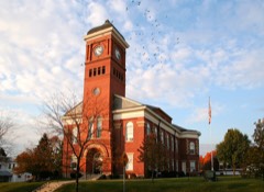
Listed on the National Register of Historic Places in
1980. A historic map-sheet match is not published yet. The record needs a coordinate-quality review before it can be joined to a sheet boundary.
From the record
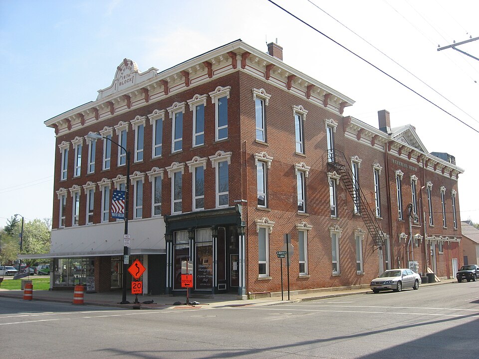
“Levering Hall is a historic building in downtown Mount Gilead, Ohio, United States. A fine example of the Italianate style, it was intended to house a range of civic functions.”
Wikipedia article Levering Hall, CC BY-SA 4.0.
one of 15 National Register listings in Morrow County · listed in 1980 · category: Building.
National Register reference number.80003180- the number the National Park Service assigned this property when it was listed, and the key its nomination file is catalogued under at the National Archives.
Specimens collected near this property
12 of 379 shown
Regional context, not property-specific
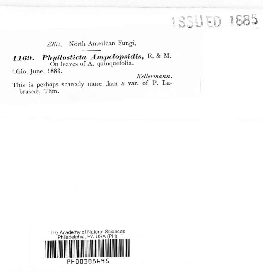
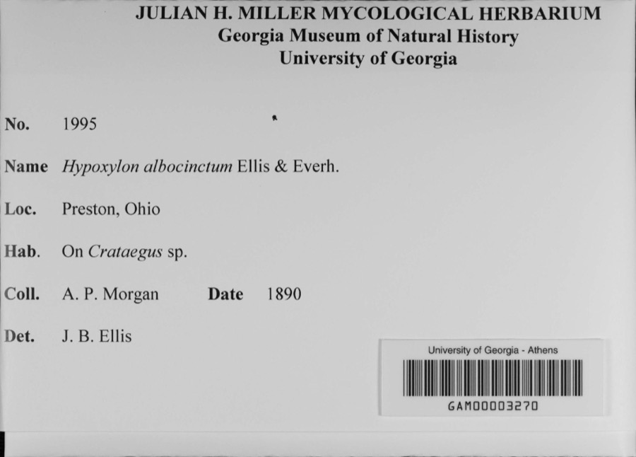
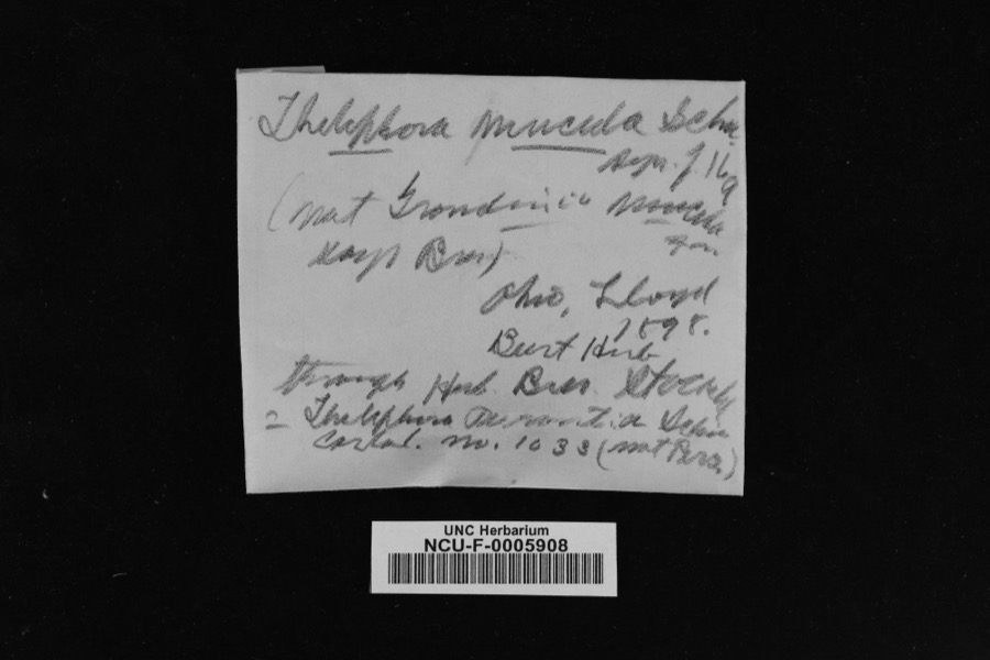
evidence. Museums hold 379 specimens
collected within 10 miles of Levering Hall between 1837 and
1975: 281 Animalia, 79 Fungi, 8 Plantae, 4 Protozoa, 4 Chromista, 3 Unrecorded. 12 distinct Species records are shown.
Collected by A. P. Morgan, A.P. Morgan, Adler, K. K. and others. Each is a
physical object with a catalogue
number, and each entry opens the museum's record. This is what was
collected and kept, not a survey of what lives here - nothing can be
concluded from a species being absent.
Regional context, not property-specific
evidence. The federal mineral resources record lists
1 working within 5 miles of Levering Hall: 1 producer.
All of them still produce. What was taken out: Phosphorus-Phosphates. Distance is straight-line from the
map coordinates, so a quarry counted here may appear on a neighbouring
settlement's page as well.
No historic map-sheet match is published
for this property yet. That does not mean no map exists. This record needs
a coordinate-quality review before it can be joined to a sheet boundary.
Browse the county's mapped places while that work is
pending.
From the nomination file
1,687 words on record
When this property was proposed for the
National Register, someone wrote the case for it: what the building is,
and why it matters. That document is a federal record in the public domain.
It is quoted below word for word, never summarised. The text was read off the scanned case file by machine, so the
occasional stray character is the recogniser's and the 1970s
typewriter's.
Description of the property
ferent rooflines and different size window openings, although directly connected and Main Street and known as the Van Horn Block, is ten bays wide and three bays deep. On store furthest south retains its original ornate cast iron columns supporting a bracketed cornice directly above, but the remaining bays have been altered into a single modern which conceals the flat roof. Rising above the center of the cornice is a very elaborate Behind the front section is a long two story block, only slightly lower because of its has a slightly pitched gable roof, accentuated by pediments in the center of each side. These pediments are over slightly projecting central bays. The rear of the building is plainly finished, with plain stone sills and lintels around the window openings.
were once three separate stores have been combined into a single department store, which hall. This is a large two story high space with a small balcony at the rear of the hall, proscenium early in the twentieth century to allow restrooms and more dressing space behind, was taken down in recent years because sections were falling out, but it is possible to that the original ceiling was of a different character than the rest of the room, which is quite plain, evidently relying on wallpaper and stenciling to achieve ornateness. The third floor of the front section contains a large meeting room. Condition fair nameplate.
associated with this style.The building consists of two sections distinguished by dif- Check one the ground floor are three storefronts plus the main entrance to the upper floors.
(in one paragraph) that functions as a major visual landmark in Mount Gilead and which was built as a unique stylistic features of this building, the finely crafted cornices and lintels, the ornate ironwork on the ground floor, and the elaborate nameplates above, combine with the build- Gilead's first: major Italianate commercial building and although a number of other late nineteenth century buildings were subsequently constructed, no building in town is as seat of Morrow County which less than thirty years previously had been a very small cross- has served as a focus of activities in Mount Gilead. The town hall and fire station were located here until the mid twentieth century.
The opera hall above was the social center, Central Ohio has combined its public offices along with commercial businesses in a single Levering Hall was conceived and built in 1876, the result of local interest in ob- serving the nation's centennial. In March, the town council voted to submit a proposal to voters for construction of a town hall and fire station, plus facilities for a literary Association was formed for the purpose of erecting the front section of the building for courthouses in Erie, Licking, Crawford, Knox and Richland counties plus a number of build- ings in Columbus, including the old Neil House, state prison, Presbyterian Church and was largely completed by the fall.
After about thirty years of neglect, especially on the upper floors, a movement is underway to restore this building. Efforts are being lead by Encore, a local theatrical 1600-1699 1700-1799 commerce conservation 1500-1599 humanitarian communications building. engineering Period industry education invention exploration/settlement Specific dates 1900- 8.
Quoted from the National Register nomination
for reference 80003180, 10 pages, held by the National Archives in Record
Group 79. See the
catalogue record.
Listed places nearby
4 within 8 miles
Other National Register properties close
enough to walk or drive between, ordered by distance from this one. Both
positions come from the same geocoding pass that matched these properties
to their map sheets.
Listing record. National Park Service National Register of Historic Places, listed-properties dataset, current to 2026-05-22.
Map join. Address geocoded through the United States Census geocoder, then tested against the published boundary of every sheet in the USGS Historical Topographic Map Collection.
How this page is made. Listing fields come from federal records; map-sheet coverage is a labelled coordinate-to-boundary calculation, not a source-field claim.
Specimens. Global Biodiversity Information Facility (GBIF), https://www.gbif.org/. Only records licensed CC0 or CC BY are used. Records licensed CC BY-NC are excluded because this site carries advertising. Images are checked individually and any whose licence is non-commercial, no-derivatives or unreadable is refused.
Mines and quarries. USGS Mineral Resources Data System (MRDS) https://mrdata.usgs.gov/mrds/ A work of the United States government, no copyright under 17 U.S.C. 105.
 Block
Block