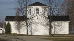
Listed on the National Register of Historic Places in
1982. A historic map-sheet match is not published yet. The record needs a coordinate-quality review before it can be joined to a sheet boundary.
From the record
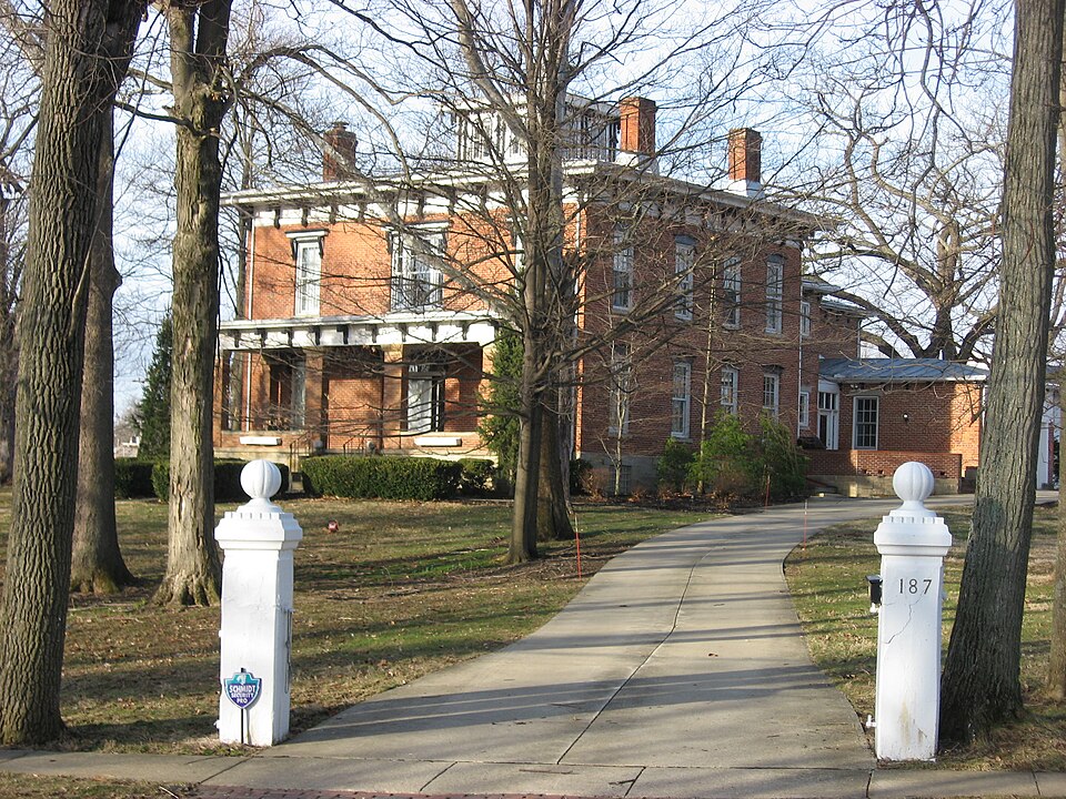
“Trimble House is a historic residence in the village of Mount Gilead, Ohio, United States. The most significant house in the village, it was built in the middle of the nineteenth century, and it has been designated a historic site.”
Wikipedia article James S. Trimble House, CC BY-SA 4.0.
one of 15 National Register listings in Morrow County · listed in 1982 · category: Building.
National Register reference number.82001481- the number the National Park Service assigned this property when it was listed, and the key its nomination file is catalogued under at the National Archives.
Specimens collected near this property
12 of 286 shown
Regional context, not property-specific
evidence. Museums hold 286 specimens
collected within 10 miles of Trimble, James S., House between 1837 and
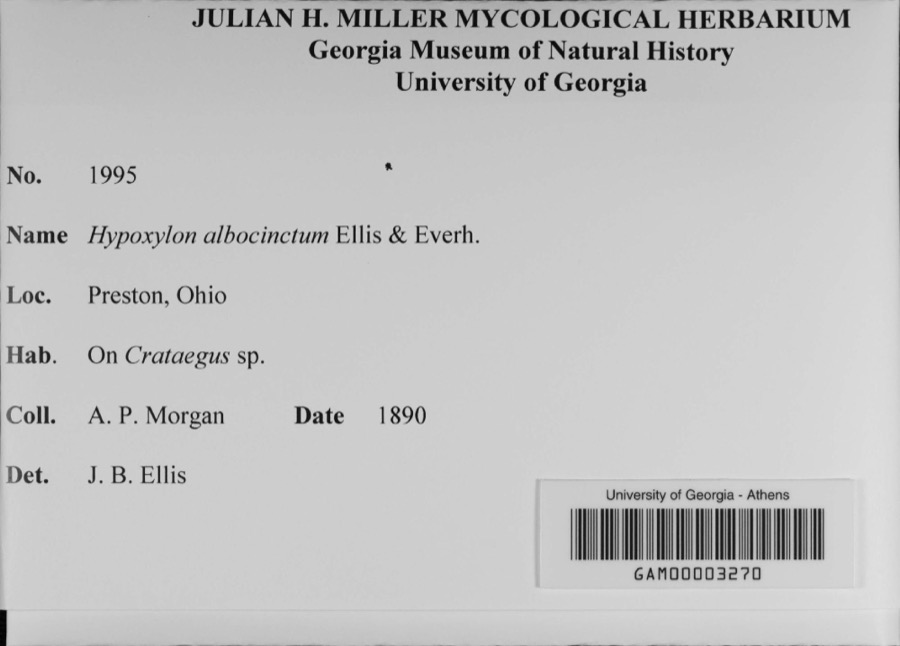
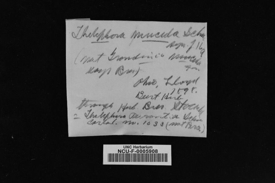
1975: 272 Animalia, 7 Plantae, 6 Fungi, 1 Unrecorded. 12 distinct Species records are shown.
Collected by A. P. Morgan, Bird, C., Breiding, G. (George) and others. Each is a
physical object with a catalogue
number, and each entry opens the museum's record. This is what was
collected and kept, not a survey of what lives here - nothing can be
concluded from a species being absent.
Regional context, not property-specific
evidence. The federal mineral resources record lists
1 working within 5 miles of Trimble, James S., House: 1 producer.
All of them still produce. What was taken out: Phosphorus-Phosphates. Distance is straight-line from the
map coordinates, so a quarry counted here may appear on a neighbouring
settlement's page as well.
No historic map-sheet match is published
for this property yet. That does not mean no map exists. This record needs
a coordinate-quality review before it can be joined to a sheet boundary.
Browse the county's mapped places while that work is
pending.
From the nomination file
3,179 words on record
When this property was proposed for the
National Register, someone wrote the case for it: what the building is,
and why it matters. That document is a federal record in the public domain.
It is quoted below word for word, never summarised. The text was read off the scanned case file by machine, so the
occasional stray character is the recogniser's and the 1970s
typewriter's.
Description of the property
7. Description This is a large square two story residence constructed of brick.It is a fine example floor. It is in somewhatdeteriorated condition, but the interior has sustained no substantial Four large chimneys rise above the roofline from each corner of the house. On the east deteriorated unaltered in 1853. side is a projecting one story semi-octagonal bay topped by a bracketed cornice.Exterior -good 8.
Statement of significance
(in one paragraph) The James S. Trimble House is the largest and most ornate residence in the village the Cook family, it was a major social center in the community. along the railroad at nearby Edison and dealt in grain sales. He later organized and operated residence. The house was acquired by Perry Cook and was occupied by his descendents for many owner through an open bid process. 1853 commerce 1600-1699 1700-1799 1500-1599 1400-1499 communications economics transportation philosophy engineering industry theater literature agriculture exploration/settlement education science music Period prehistoric Specific dates humanitarian law politics/government 1900- _conservation invention military community planning of Mount Gilead.
It is a rare and fine example of pre Civil War Italianate style archi- in this small county seat. Trimble was a prominent local businessman in Mount Gilead. During the late nineteenth and early twentieth centuries, when the house was owned by to 1819. James Trimble was a dry goods merchant in Mount Gilead. He operated a warehouse archeology-prehistoric art religion landscape architecture Baughman, A.J., History of Morrow County, Ohio. Chicago: O.L. Baskin & Co., 1880, page 308. Acreage of nominated property Mount Gilead, Ohio The nominated property consists of the lot owerdy by the Presbyterian Church at the northwest corner of Iberia and Douglas Streets, which and on a third side by an alley and on the fourth by a fencerow. - State 11.
Quoted from the National Register nomination
for reference 82001481, 14 pages, held by the National Archives in Record
Group 79. See the
catalogue record.
Listed places nearby
4 within 8 miles
Other National Register properties close
enough to walk or drive between, ordered by distance from this one. Both
positions come from the same geocoding pass that matched these properties
to their map sheets.
Listing record. National Park Service National Register of Historic Places, listed-properties dataset, current to 2026-05-22.
Map join. Address geocoded through the United States Census geocoder, then tested against the published boundary of every sheet in the USGS Historical Topographic Map Collection.
How this page is made. Listing fields come from federal records; map-sheet coverage is a labelled coordinate-to-boundary calculation, not a source-field claim.
Specimens. Global Biodiversity Information Facility (GBIF), https://www.gbif.org/. Only records licensed CC0 or CC BY are used. Records licensed CC BY-NC are excluded because this site carries advertising. Images are checked individually and any whose licence is non-commercial, no-derivatives or unreadable is refused.
Mines and quarries. USGS Mineral Resources Data System (MRDS) https://mrdata.usgs.gov/mrds/ A work of the United States government, no copyright under 17 U.S.C. 105.
 Block
Block