Listed on the National Register of Historic Places in
1975. A historic map-sheet match is not published yet. The record needs a coordinate-quality review before it can be joined to a sheet boundary.
From the record
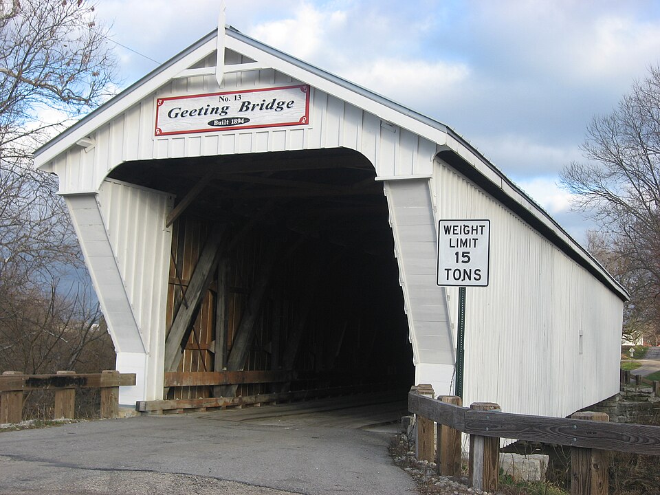
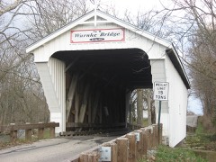
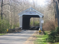
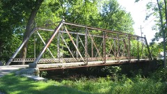
“The Geeting Covered Bridge, also known as Geeting Bridge, is a historic covered bridge crossing Price's Creek on Price Road west of Lewisburg, Ohio, United States. Sherman, one of at least 20 covered bridges built by Sherman in Preble County, Ohio.”
Wikipedia article Geeting Covered Bridge, CC BY-SA 4.0.
one of 16 National Register listings in Preble County · listed in 1975 · category: Structure.
National Register reference number.75001528- the number the National Park Service assigned this property when it was listed, and the key its nomination file is catalogued under at the National Archives.
Regional context, not property-specific
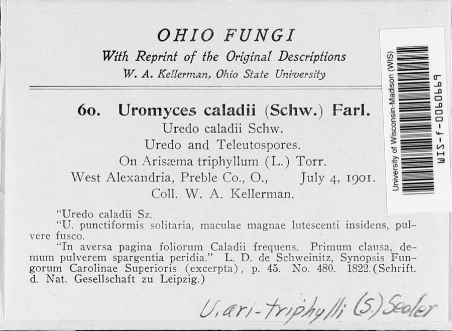
evidence. Museums hold 783 specimens
collected within 10 miles of Geeting Covered Bridge between 1896 and
1974: 750 Animalia, 27 Fungi, 6 Plantae. 12 distinct Species records are shown.
Collected by A.R. Gaufin, H.H. Ross, Arden R. Gaufin, B. Fink and others. Each is a
physical object with a catalogue
number, and each entry opens the museum's record. This is what was
collected and kept, not a survey of what lives here - nothing can be
concluded from a species being absent.
Regional context, not property-specific
evidence. The federal mineral resources record lists
3 workings within 5 miles of Geeting Covered Bridge: 2 producers, 1 past producer.
2 still produce. What was taken out: Stone, Crushed/Broken, Limestone, General. Distance is straight-line from the
map coordinates, so a quarry counted here may appear on a neighbouring
settlement's page as well.
Regional context, not property-specific
evidence. The National Weather Service names
Lewisburg, the town this property stands in, in 5 storm reports between 1996 and 2014: 3 hail, 2 thunderstorm wind.
No death or injury is recorded in these reports. Each account below is quoted exactly as the forecast office
filed it, from the NOAA Storm Events Database, and each date
opens the federal record of that event.
No historic map-sheet match is published
for this property yet. That does not mean no map exists. This record needs
a coordinate-quality review before it can be joined to a sheet boundary.
Browse the county's mapped places while that work is
pending.
From the nomination file
1,389 words on record
When this property was proposed for the
National Register, someone wrote the case for it: what the building is,
and why it matters. That document is a federal record in the public domain.
It is quoted below word for word, never summarised. The text was read off the scanned case file by machine, so the
occasional stray character is the recogniser's and the 1970s
typewriter's.
Statement of significance
Eaton, Ohio, during the last decades of the 19th Century. sawmills for the floors, hub rails, and roof shingle lath. 1894 Engineering Military Commerce Conservation Communications Architecture SIGNIFICANCE losophy Landscape Aboriginal Literature Education itarian Urban Planning Preble County. Agriculture This covered bridge is in need of recognition and preservation as a unique example of the engineering heri- the nation and seven of the eight still remaining are in in his bridge yard on North Maple Street in Eaton during A disastrous storm in 1886 washed out a number of bridges chased from Cobb & Mitchell of Cadillac, Michigan.
Sherman was a native of New Hampshire who lived in and started Sherman on a lo-year period in which he erected struction developed and patented in 1846 by Horace Childs. Invention members he was able to pre-fabricate much of his materials tage of Ohio and the Nation. Industry S.Sherman, who utilized the Childs-truss method of con- Ohio has the only known covered bridges of this type in The Geeting Covered Bridge was built in l894 by Evrett
Quoted from the National Register nomination
for reference 75001528, 10 pages, held by the National Archives in Record
Group 79. See the
catalogue record.
Listed places nearby
6 within 8 miles
Other National Register properties close
enough to walk or drive between, ordered by distance from this one. Both
positions come from the same geocoding pass that matched these properties
to their map sheets.
Listing record. National Park Service National Register of Historic Places, listed-properties dataset, current to 2026-05-22.
Map join. Address geocoded through the United States Census geocoder, then tested against the published boundary of every sheet in the USGS Historical Topographic Map Collection.
How this page is made. Listing fields come from federal records; map-sheet coverage is a labelled coordinate-to-boundary calculation, not a source-field claim.
Specimens. Global Biodiversity Information Facility (GBIF), https://www.gbif.org/. Only records licensed CC0 or CC BY are used. Records licensed CC BY-NC are excluded because this site carries advertising. Images are checked individually and any whose licence is non-commercial, no-derivatives or unreadable is refused.
Mines and quarries. USGS Mineral Resources Data System (MRDS) https://mrdata.usgs.gov/mrds/ A work of the United States government, no copyright under 17 U.S.C. 105.
Storms. NOAA National Centers for Environmental Information, Storm Events Database https://www.ncei.noaa.gov/stormevents/ A work of the United States government, no copyright under 17 U.S.C. 105. Narratives are quoted verbatim from the National Weather Service report and are not edited or summarised.
 Block
Block