Listed on the National Register of Historic Places in
1976. A historic map-sheet match is not published yet. The record needs a coordinate-quality review before it can be joined to a sheet boundary.
From the record
one of 59 National Register listings in Mahoning County · listed in 1976 · category: Building.
National Register reference number.76001481- the number the National Park Service assigned this property when it was listed, and the key its nomination file is catalogued under at the National Archives.
Fires near this property
4 since 2010
Regional context, not property-specific
evidence. The
federal wildfire occurrence database
lists 4 fires within 5 miles of Kirtland, Jared P., House between
2010 and 2019, burning about 2 acres in total. None started naturally. None was recorded as arson.
Distance is straight-line from the map coordinates, so a fire counted
here may appear on a neighbouring settlement's page as well.
Reported cause
Fires
Debris and open burning
2
Recreation and ceremony
1
Equipment and vehicle use
1
The most recent of
them, most recent first, with the day each was reported and the service
that recorded it.
Regional context, not property-specific
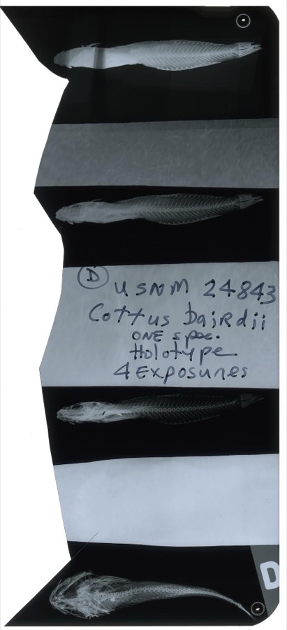
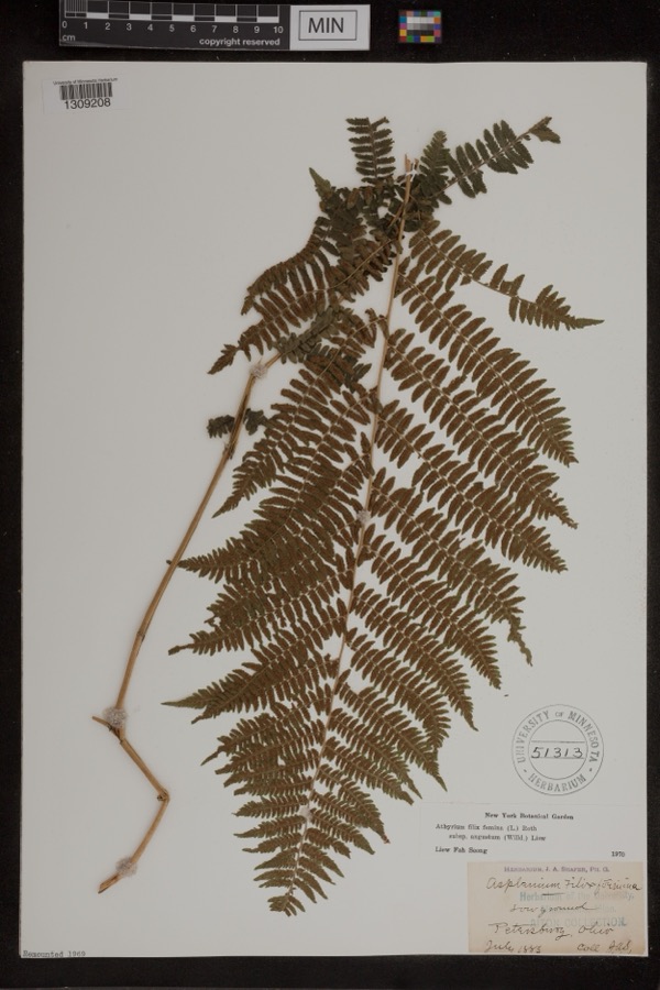
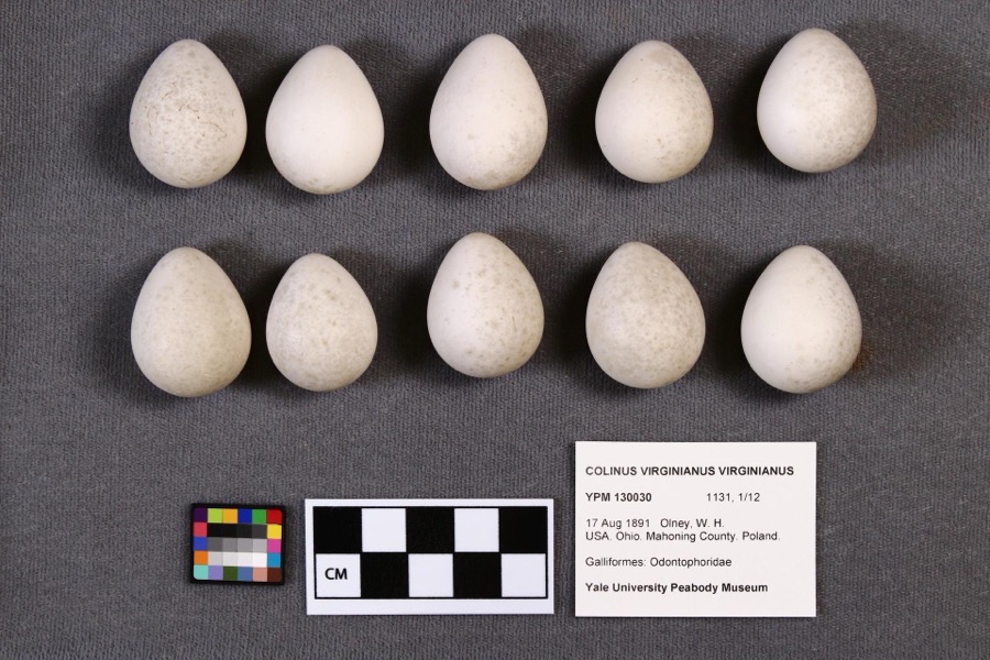
evidence. Museums hold 416 specimens
collected within 10 miles of Kirtland, Jared P., House between 1853 and
1974: 245 Animalia, 165 Plantae, 5 Fungi, 1 Chromista. 12 distinct Species records are shown.
Collected by A.E. Daugherty, B Withers, B. West and others. Each is a
physical object with a catalogue
number, and each entry opens the museum's record. This is what was
collected and kept, not a survey of what lives here - nothing can be
concluded from a species being absent.
Regional context, not property-specific
evidence. The federal mineral resources record lists
4 workings within 5 miles of Kirtland, Jared P., House: 3 past producers, 1 producer.
1 still produces. What was taken out: Stone, Crushed/Broken, Sand and Gravel, Construction, Limestone, General. Distance is straight-line from the
map coordinates, so a quarry counted here may appear on a neighbouring
settlement's page as well.
Regional context, not property-specific
evidence. The National Weather Service names
Poland, the town this property stands in, in 18 storm reports between 1998 and 2026: 11 thunderstorm wind, 6 hail, 1 flash flood.
No death or injury is recorded in these reports. Each account below is quoted exactly as the forecast office
filed it, from the NOAA Storm Events Database, and each date
opens the federal record of that event.
From 4:30 p.m. until around 8 p.m., a line of heavy rain stalled along Route 224 from Poland all the way to Canfield in Mahoning County. The hardest hit areas were Boardman, Poland, and Canfield. As four or five inches of rain fell in just a few hours, water was waist-deep in many areas. Hardest hit were the neighborhoods of Glendale, Rockdale and Locust avenues off of Route 224, across from the Boardman Plaza in Canfield. There were a number of ground-floor and basement apartments along Indian Run Drive inundated. Canfield Village Middle and High Schools were closed for several days due to flooding. In total over 550 homes and businesses were impacted. Thirty one sustained major damage, most from garden view apartments and a few family residents. The majority of residents impacted fell under the minor and/or affected categories. Total damage estimates are a few million. There were no reported injuries or fatalities.
No historic map-sheet match is published
for this property yet. That does not mean no map exists. This record needs
a coordinate-quality review before it can be joined to a sheet boundary.
Browse the county's mapped places while that work is
pending.
From the nomination file
2,680 words on record
When this property was proposed for the
National Register, someone wrote the case for it: what the building is,
and why it matters. That document is a federal record in the public domain.
It is quoted below word for word, never summarised. The text was read off the scanned case file by machine, so the
occasional stray character is the recogniser's and the 1970s
typewriter's.
Description of the property
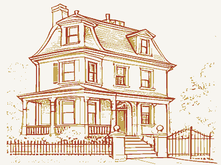
house is almost square. There is an excellent Doric entablature, a facade was refaced with vertical tongue-and-groove siding, a porch the turn of the century. The side elevation has only two bays. A modern story wing which may be older than the two-story part, but this is typical Greek pattern. The original staircase, which is said to have cooking fireplaces in both the basement and first floor, and these, inference that the wing may be earlier than the main Greek Revival CONDITION DESCRIPTION UNEXPOSED EXCELLENT RUINS FAIR This is a large wooden frame house in the Greek Revival style. XGOOD The foundation is of coursed sandstone ashlar.The main block of the The pediment originally had a semi-elliptical fanlight which has been four bays, with six-over-six pane sash in the windows.
The first story The cornice of this section is dentilled. remains in the east parlor. It includes a handsome classical mantel- frieze with triglyphs, and flat mutule blocks beneath the cornices. On the interior, excellent original Greek Revival woodwork removed and is stored in the attic.The pediment was resurfaced was added across the front, and the front entrance was altered around house have monumental two-story Doric pilasters.The facade has - DETERIORATED _UNALTERED with composition shingle ofa scalloped pattern.The corners of the together with the different exterior cornice treatment, lead to the piece flanked by blind arches, and window and door moldings of a undocumented.There is a porch along the east side of the wing.
CHECK ONE the west.To the rear (south)of the main house is a one-and-a-half -ORIGINAL SITE been curved, has been removed. In the south wing there are large side entrance with an overhanging roof and a stoop have been added on DATE. AREAS OF
Statement of significance
physician, scientist and naturalist, while he lived in Poland, Ohio, before accomplishments, that house in Lakewood, Ohio, has been razed. an agent of the Connecticut Land Company and the founder of Poland, the survey of Ohio, identifying the rich coal and iron deposits which ultimately spite of the alterations, it still conveys the fundamental spirit of the 1832-1837 1500-1599 ECONOMICS 1700-1799 COMMERCE ARCHEOLOGY-HISTORIC LAW ARCHITECTURE PERIOD RELIGION AGRICULTURE POLITICS/GOVERNMENT BUILDER/ARCHITECT MILITARY THEATER 1900- SIGNIFICANCE ARCHEOLOGY-PREHISTORIC MUSIC EXPLORATION/SETTLEMENT CONSERVATION ENGINEERING ART _COMMUNICATIONS horticultural experiments.
of the Cleveland Medical College which became the Medical School of southeasternmost township of the Western Reserve of Ohio.Jared Kirtland a leading naturalist in the country.Louis Agassiz and John Audubon were period of his occupancy. _PHILOSOPHY attended the Yale Medical College and graduated from Philadelphia Medical Poland home is the only residence still associated with him, and in College.He settled in Poland in 1823 to practice medicine.During this time he served three terms in the Ohio Legislature.The best evidence Museum of Natural History.
At his home in Lakewood he developed extensive In 1837 Kirtland assisted Charles Whittlesey in the first geological 1837.While this is not the home associated with the period of his greatest _1600-1699 attracted the attention of the great scientific men of his day.' Kirtland's Jared P.Kirtland became Cleveland's most celebrated scientist and (Lakewood).He was a member of the faculty of Willoughby University east of Cleveland, and when it closed in 1843,he was one of the founders land Academy of Natural Science in 1845,which became the Cleveland _TRANSPORTATION This was the home of Jared P.Kirtland, the noted nineteenth century Jared Potter Kirtland (1793-1877) was the son of Turhand Kirtland, -LITERATURE respects to the house of his brother Billius (l830),which has been demolished.
Quoted from the National Register nomination
for reference 76001481, 29 pages, held by the National Archives in Record
Group 79. See the
catalogue record.
Listed places nearby
6 within 8 miles
Other National Register properties close
enough to walk or drive between, ordered by distance from this one. Both
positions come from the same geocoding pass that matched these properties
to their map sheets.
Listing record. National Park Service National Register of Historic Places, listed-properties dataset, current to 2026-05-22.
Map join. Address geocoded through the United States Census geocoder, then tested against the published boundary of every sheet in the USGS Historical Topographic Map Collection.
How this page is made. Listing fields come from federal records; map-sheet coverage is a labelled coordinate-to-boundary calculation, not a source-field claim.
Wildfire. Short, Karen C. 2022. Spatial wildfire occurrence data for the United States, 1992-2020 [FPA_FOD_20221014]. 6th Edition. Fort Collins, CO: Forest Service Research Data Archive. https://doi.org/10.2737/RDS-2013-0009.6 Collected with United States Government funding and usable without additional permissions or fees.
Specimens. Global Biodiversity Information Facility (GBIF), https://www.gbif.org/. Only records licensed CC0 or CC BY are used. Records licensed CC BY-NC are excluded because this site carries advertising. Images are checked individually and any whose licence is non-commercial, no-derivatives or unreadable is refused.
Mines and quarries. USGS Mineral Resources Data System (MRDS) https://mrdata.usgs.gov/mrds/ A work of the United States government, no copyright under 17 U.S.C. 105.
Storms. NOAA National Centers for Environmental Information, Storm Events Database https://www.ncei.noaa.gov/stormevents/ A work of the United States government, no copyright under 17 U.S.C. 105. Narratives are quoted verbatim from the National Weather Service report and are not edited or summarised.
 Block
Block