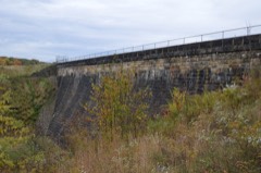
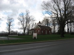
Listed on the National Register of Historic Places in
1983. A historic map-sheet match is not published yet. The record needs a coordinate-quality review before it can be joined to a sheet boundary.
From the record
one of 59 National Register listings in Mahoning County · listed in 1983 · category: Structure.
National Register reference number.83004319- the number the National Park Service assigned this property when it was listed, and the key its nomination file is catalogued under at the National Archives.
Fires near this property
5 since 2010
Regional context, not property-specific
evidence. The
federal wildfire occurrence database
lists 5 fires within 5 miles of White Bridge between
2010 and 2019, burning about 2 acres in total. None started naturally. None was recorded as arson.
Distance is straight-line from the map coordinates, so a fire counted
here may appear on a neighbouring settlement's page as well.
Reported cause
Fires
Debris and open burning
3
Recreation and ceremony
1
Equipment and vehicle use
1
The most recent of
them, most recent first, with the day each was reported and the service
that recorded it.
Regional context, not property-specific
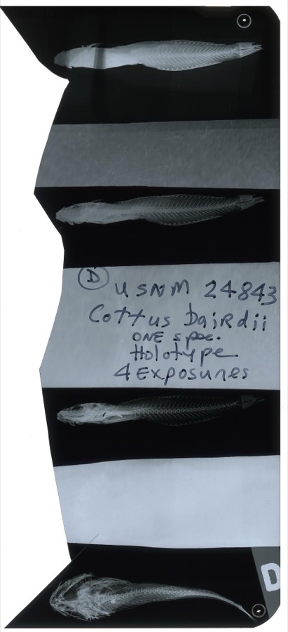
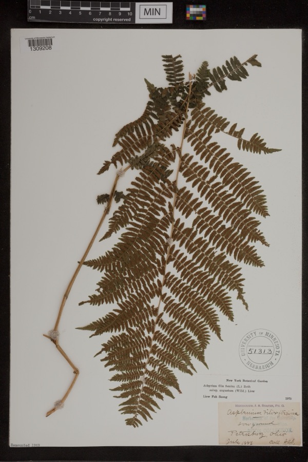
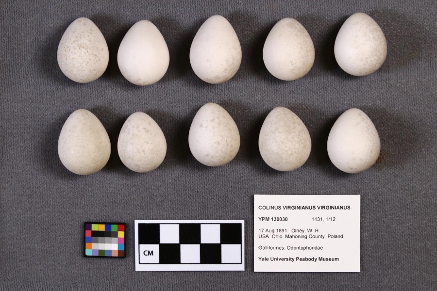
evidence. Museums hold 409 specimens
collected within 10 miles of White Bridge between 1853 and
1974: 238 Animalia, 165 Plantae, 5 Fungi, 1 Chromista. 12 distinct Species records are shown.
Collected by A.E. Daugherty, B Withers, B. West and others. Each is a
physical object with a catalogue
number, and each entry opens the museum's record. This is what was
collected and kept, not a survey of what lives here - nothing can be
concluded from a species being absent.
Regional context, not property-specific
evidence. The federal mineral resources record lists
5 workings within 5 miles of White Bridge: 3 past producers, 2 producers.
2 still produce. What was taken out: Stone, Crushed/Broken, Sand and Gravel, Construction, Iron, Limestone, General. Distance is straight-line from the
map coordinates, so a quarry counted here may appear on a neighbouring
settlement's page as well.
No historic map-sheet match is published
for this property yet. That does not mean no map exists. This record needs
a coordinate-quality review before it can be joined to a sheet boundary.
Browse the county's mapped places while that work is
pending.
From the nomination file
4,631 words on record
When this property was proposed for the
National Register, someone wrote the case for it: what the building is,
and why it matters. That document is a federal record in the public domain.
It is quoted below word for word, never summarised. The text was read off the scanned case file by machine, so the
occasional stray character is the recogniser's and the 1970s
typewriter's.
Description of the property
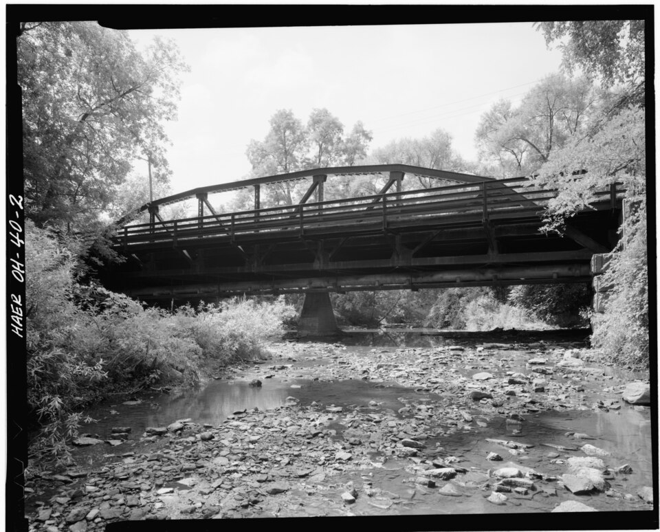
bowstring arch itself, although not remarkable in the 19th century, has become rare bridge used square or round tubes. This is an example of the oval plate that varies in width from 10 inches at the center of the truss to 14 inches at the supports. In addition, the section at the supports includes 4 bars (2 on each or the tie consists of two bars 6" X 3/4" which join the top chord or arch rib at anchoring both to the abutment, and finally, providing for expansion and contraction a circular section which is threaded and passes through a fitting and is held with a of circular section rods. At both trusses and parallel to the bottom chord about of many coats of paint, the bridge is exactly as it was in 1877, situated in a wooded environment in a suburban community.
Condition unexposed fair trusses are designated Bowstring.The design of this bridge is not common.The The floor beams are supported on the bottom chord.The bottom chord is supported Check one of the entire structure.Extraordinary because it has performed this task for over than the change from wood to steel on the decking and guardrails and the addition members of the truss.The purpose of this channel is intended to reduce the vibration from the arch with members having a diamond drill shaped section which transforms into pavement.At each side of the roadway are deep beam type guardrails connected to the 100 years without evidence of any stress or sign of repair on a bridge structure of of the diagonal members.The floor beams are reinforced with two rods to form a The bridge is a wrought iron oval tubular arch single span through-type truss.
(in one paragraph) oval tube is an example of Rezner's second patent issued in 1872.The bridge's oval tubular arch bowstring bridge in the state and only one of three in the country. 1877.replacing a wooden bridge over Yellow Creek at the foot of the Morse Farm in _science It is the only bridge of its kind in the state.Only two others are known to _ archeology-prehistoric - community planning landscape architecture William Rezner of the weight of iron used, but most of the tubes were square. The Cemetery Bridge is, how- the bridge. And so it did, as the bridge, although in need of repair, is still Reserve was Turhand Kirtland, a surveyor and civil engineer.
He, John Struthers ship was named), the Fowlers, and Dan Heaton, who built the first furnace west of the Alleghenies, came with Elkanah Morse to what was then Town One, Range One, of area, engaging in every kind of commerce available to them. Elkanah married Turhand religion The oval tubular arch is a unique engineering design invented and patented by Poland Village.At that time, Cemetery Road (Riverside Drive) was known as Stevens link to Pennsylvania and cities in the east.It was vital to the flow of traffic The bowstring arch was popular since it had a large carrying capacity relative to the of the nearby city of Struthers),the Boardmans whom Boardman Town- 9.
Quoted from the National Register nomination
for reference 83004319, 24 pages, held by the National Archives in Record
Group 79. See the
catalogue record.
Listed places nearby
6 within 8 miles
Other National Register properties close
enough to walk or drive between, ordered by distance from this one. Both
positions come from the same geocoding pass that matched these properties
to their map sheets.
Listing record. National Park Service National Register of Historic Places, listed-properties dataset, current to 2026-05-22.
Map join. Address geocoded through the United States Census geocoder, then tested against the published boundary of every sheet in the USGS Historical Topographic Map Collection.
How this page is made. Listing fields come from federal records; map-sheet coverage is a labelled coordinate-to-boundary calculation, not a source-field claim.
Wildfire. Short, Karen C. 2022. Spatial wildfire occurrence data for the United States, 1992-2020 [FPA_FOD_20221014]. 6th Edition. Fort Collins, CO: Forest Service Research Data Archive. https://doi.org/10.2737/RDS-2013-0009.6 Collected with United States Government funding and usable without additional permissions or fees.
Specimens. Global Biodiversity Information Facility (GBIF), https://www.gbif.org/. Only records licensed CC0 or CC BY are used. Records licensed CC BY-NC are excluded because this site carries advertising. Images are checked individually and any whose licence is non-commercial, no-derivatives or unreadable is refused.
Mines and quarries. USGS Mineral Resources Data System (MRDS) https://mrdata.usgs.gov/mrds/ A work of the United States government, no copyright under 17 U.S.C. 105.
 Block
Block