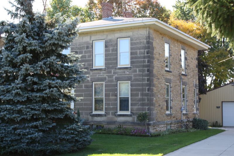
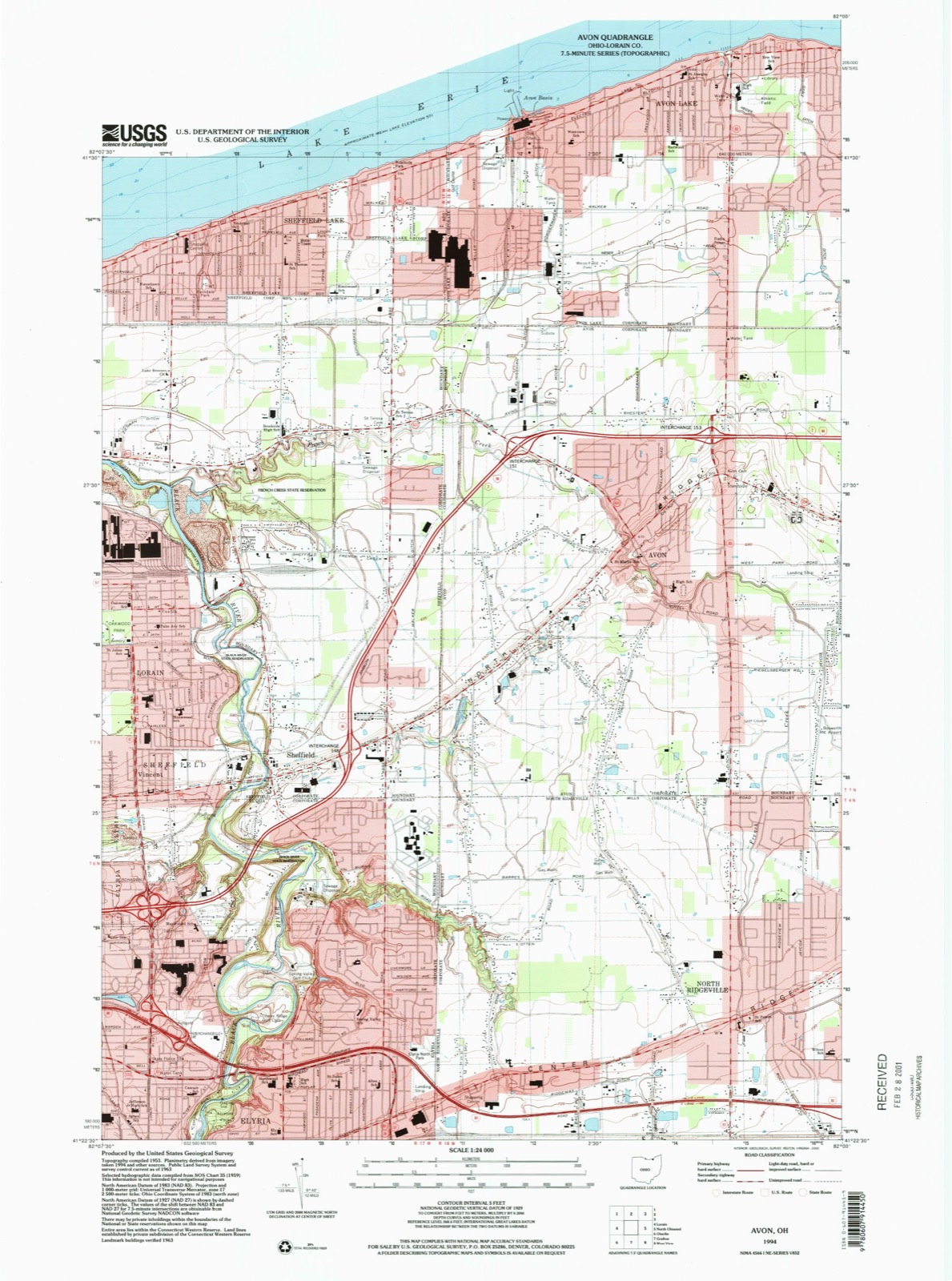
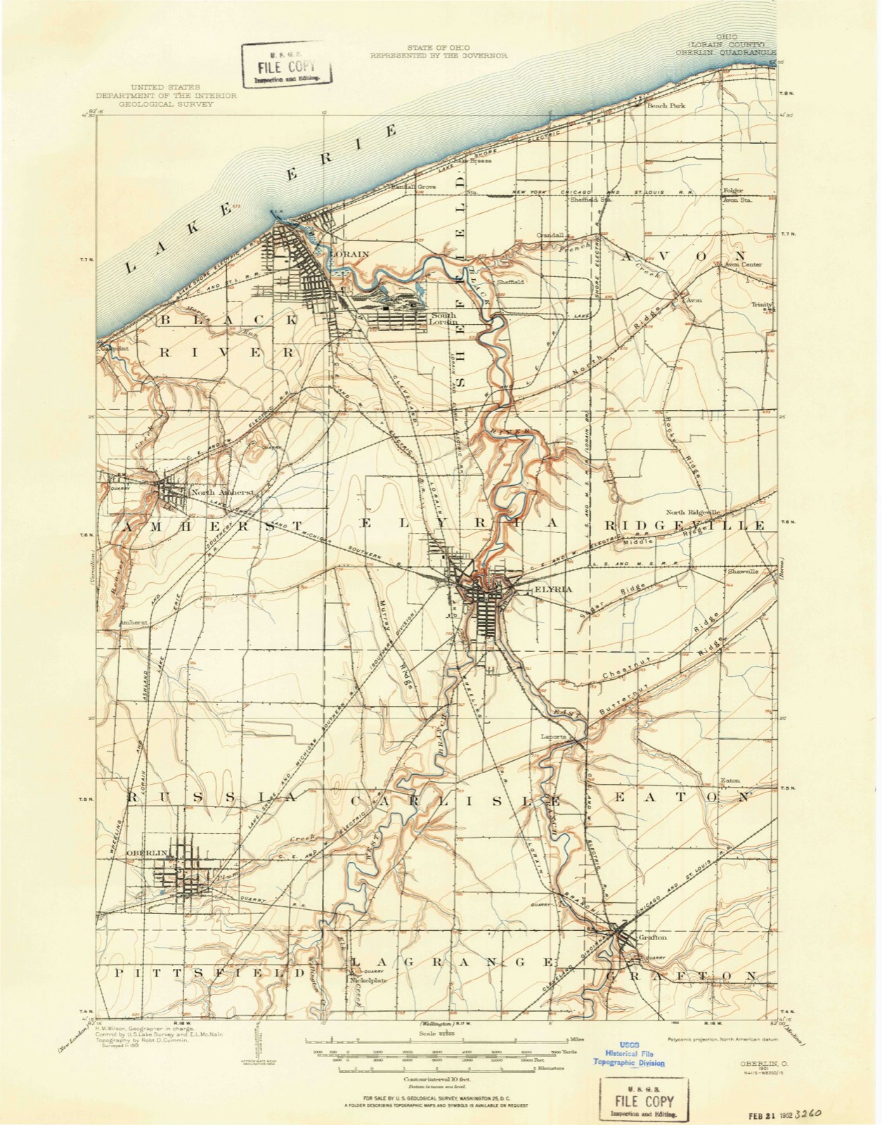
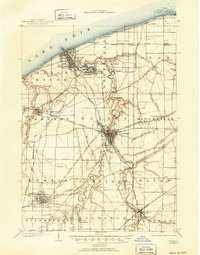
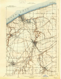
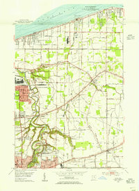
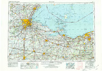
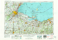
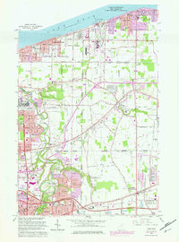
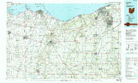
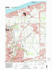
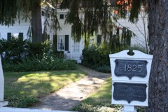
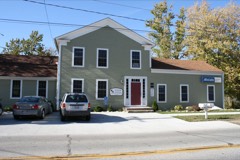
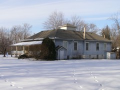
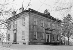
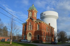
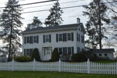
Listed on the National Register of Historic Places in 2010. 8 historic topographic surveys show this location, the earliest from 1901.
From the record
“(provide at least one paragraph for each area of significance) massive stone lintel over the main entrance as well as the flat transom, sidelightsand classical carved details of the door railroads were used extensively for transporting this type of building material. Nagel House, Nagel Road, Avon, is a 2-story Greek Revival style house built in 1845.”
Narrative Statement of Significance, National Register nomination for Wilson-Falkner-Baldauf House. Machine-read text.
One of 121 National Register listings published here for Lorain County · listed in 2010 · category: Building.
National Register reference number.10000278- the number the National Park Service assigned this property when it was listed, and the key its nomination file is catalogued under at the National Archives.
Then and now
1901 to 1994
The ground this property stands on, surveyed
93 years apart. Drag the handle to wipe between them. Both sheets are
United States Geological Survey originals; neither has been altered.
19011994
The ground it stands on
13,604 words
The chapter on Avon City in History of Lorain County, Ohio, published 1879 names Avon. This is what it says, exactly as the scans read.
Avon, or township number seven, in range sixteen, is located in the northeast cornerof Lorain county, and is bounded as follows: on the north liy Lake Erie; on the south by the township of Kidgeville; on the east by Dover township, in Cuyahoga county, and on the west l)y Shcftield township.
Early in the history of the Western Resevre, a road was established from Cleveland westward along the shore of the lake. Over this the mail was transported as early as 1807. (Sec history of Columbia.) Through the townshiji of Avon this road passes very near the bank of the lake, and here, where is now a succession of tasty cottages and beautiful villas, Noah Davis, in the year 1813, made a settlement, the first in the township. He erected the first log house, but where it was located, or who composed his family, we have been unable to ascertain, as he only remained a short time, removing from the township in less than one year. Two years pass before another attempt at a settlement is made, this time by men of great courage and a fixed determination to make themselves permanent homes in the wilde;ness. How well they have succeeded, the finely kept farms, with their substantial residences, skirting the line of the settlement (the ridge road) bear ample evidence.
Regional context, not property-specific
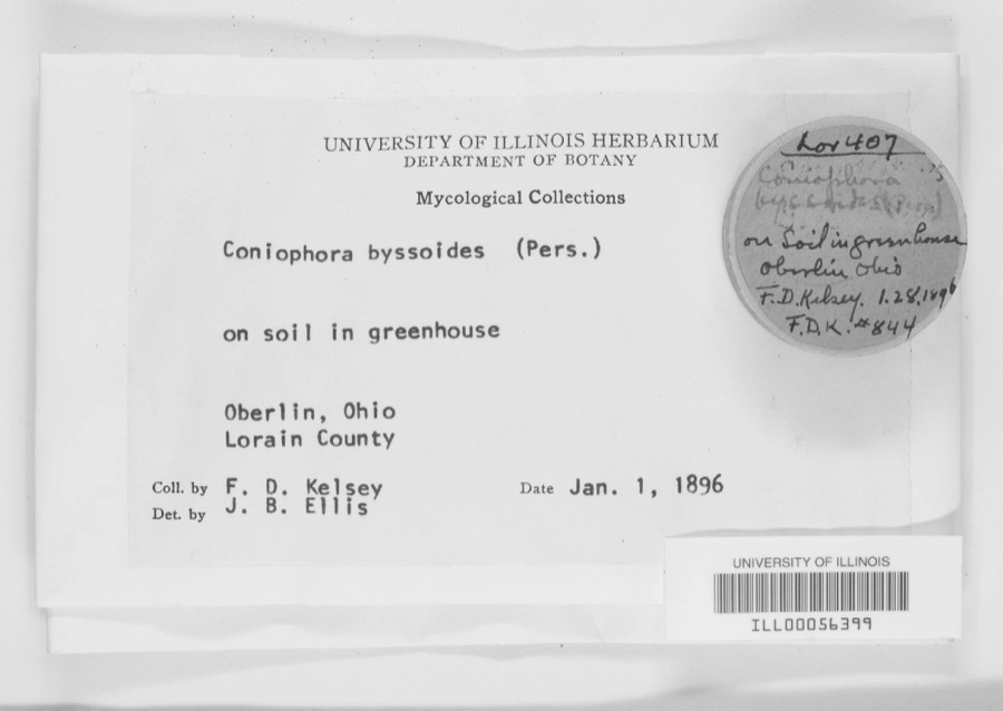
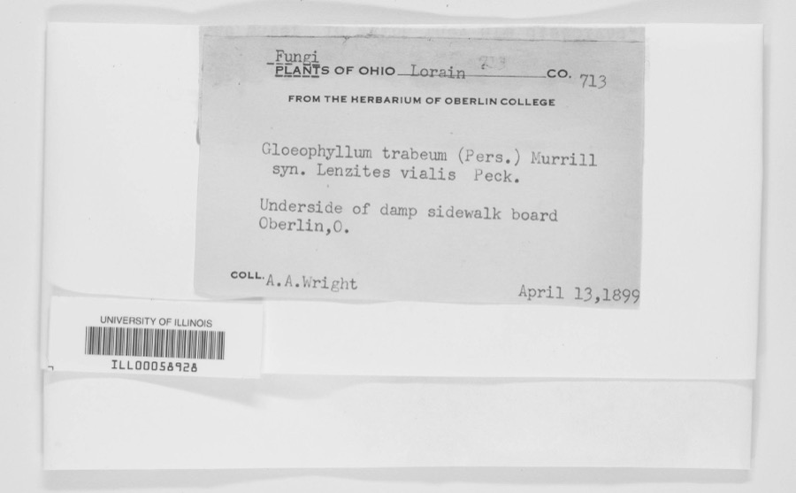
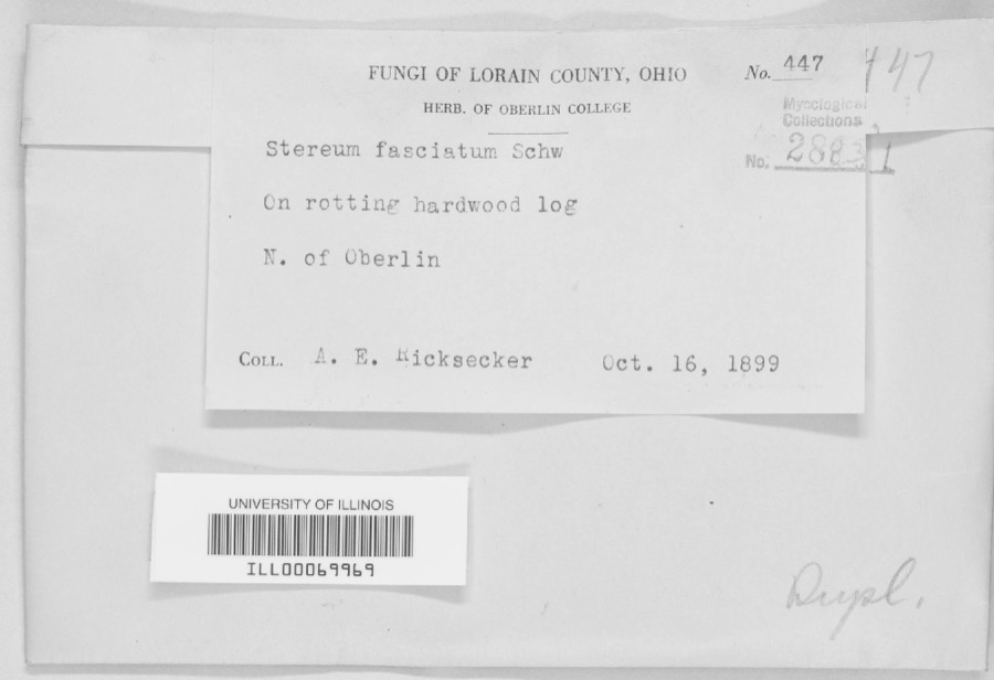
evidence. Museums hold 1,416 specimens
collected within 10 miles of Wilson-Falkner-Baldauf House between 1853 and 1975: 1,099 Animalia, 269 Fungi, 36 Plantae, 8 Protozoa, 4 Unrecorded.
12 distinct Species records are shown.
Collected by ?, A. A. Wright, A. E. Ricksecker and others. Each is a
physical object with a catalogue
number, and each entry opens the museum's record. This is what was
collected and kept, not a survey of what lives here - nothing can be
concluded from a species being absent.
Regional context, not property-specific
evidence. The National Weather Service names
Avon, the town this property stands in, in 28 storm reports between 1996 and 2025: 17 thunderstorm wind, 8 hail, 2 flash flood, 1 waterspout.
No death or injury is recorded in these reports. Each account below is quoted exactly as the forecast office
filed it, from the NOAA Storm Events Database, and each date
opens the federal record of that event.
United States Geological Survey topographic
sheets whose coverage includes this point. Matched by taking the coordinate the National Park Service records for this property, then
testing that coordinate against the published boundary of every sheet.
When this property was proposed for the
National Register, someone wrote the case for it: what the building is,
and why it matters. That document is a federal record in the public domain.
It is quoted below word for word, never summarised. The text was read off the scanned case file by machine, so the
occasional stray character is the recogniser's and the 1970s
typewriter's.
Statement of significance
Property is associated with events that have made a significant contribution to the broad patterns of our Property is associated with the lives of persons significant in our past. Property embodies the distinctive characteristics of a type, period, or method of construction or represents the work of a master, or possesses high artistic values, or represents a significant and distinguishable entity whose components lack Property has yielded, or is likely to yield, information important in prehistory or history. (Mark "x" in all the boxes that apply) (Complete only if Criterion Bis marked above) owed by a religious institution or used for religious , purposes. removed from its original location. C a birthplace or grave. D a cemetery. E a reconstructed building, object, or structure.
F a commemorative property. less than 50 years old or achieving significance within the past 50 years. The period of significance is 1861-1907. The beginning date of 1861 reflects the completion of the construction of the significance of the property. Criteria Consideratons (explanation, if necessary) 1901 1861-1907 Architecture history. Criteria Considerations Significant Person individual distinction. Significant Dates Applicable National Register Criteria Property is: Architect/Builder Cultural Affiliation Period of Significance (justification) Period of Significance (Enter categories from instructions) for National Register listing) Areas of Significance (Mark "x" in one or more boxes for the criteria qualifying the property house.
The period of significance ends in 1907 when the property was purchased by William Baldauf.
Quoted from the National Register nomination
for reference 10000278, 34 pages, held by the National Archives in Record
Group 79. See the
catalogue record.
Listed places nearby
6 within 8 miles
Other National Register properties close
enough to walk or drive between, ordered by distance from this one. Both
positions come from the same geocoding pass that matched these properties
to their map sheets.
Listing record. National Park Service National Register of Historic Places, listed-properties dataset, current to 2026-05-22.
Map join. Address geocoded through the United States Census geocoder, then tested against the published boundary of every sheet in the USGS Historical Topographic Map Collection.
How this page is made. Listing fields come from federal records; map-sheet coverage is a labelled coordinate-to-boundary calculation, not a source-field claim.
Specimens. Global Biodiversity Information Facility (GBIF), https://www.gbif.org/. Only records licensed CC0 or CC BY are used. Records licensed CC BY-NC are excluded because this site carries advertising. Images are checked individually and any whose licence is non-commercial, no-derivatives or unreadable is refused.
Storms. NOAA National Centers for Environmental Information, Storm Events Database https://www.ncei.noaa.gov/stormevents/ A work of the United States government, no copyright under 17 U.S.C. 105. Narratives are quoted verbatim from the National Weather Service report and are not edited or summarised.
 Block