Listed on the National Register of Historic Places in
1978. A historic map-sheet match is not published yet. The record needs a coordinate-quality review before it can be joined to a sheet boundary.
From the record
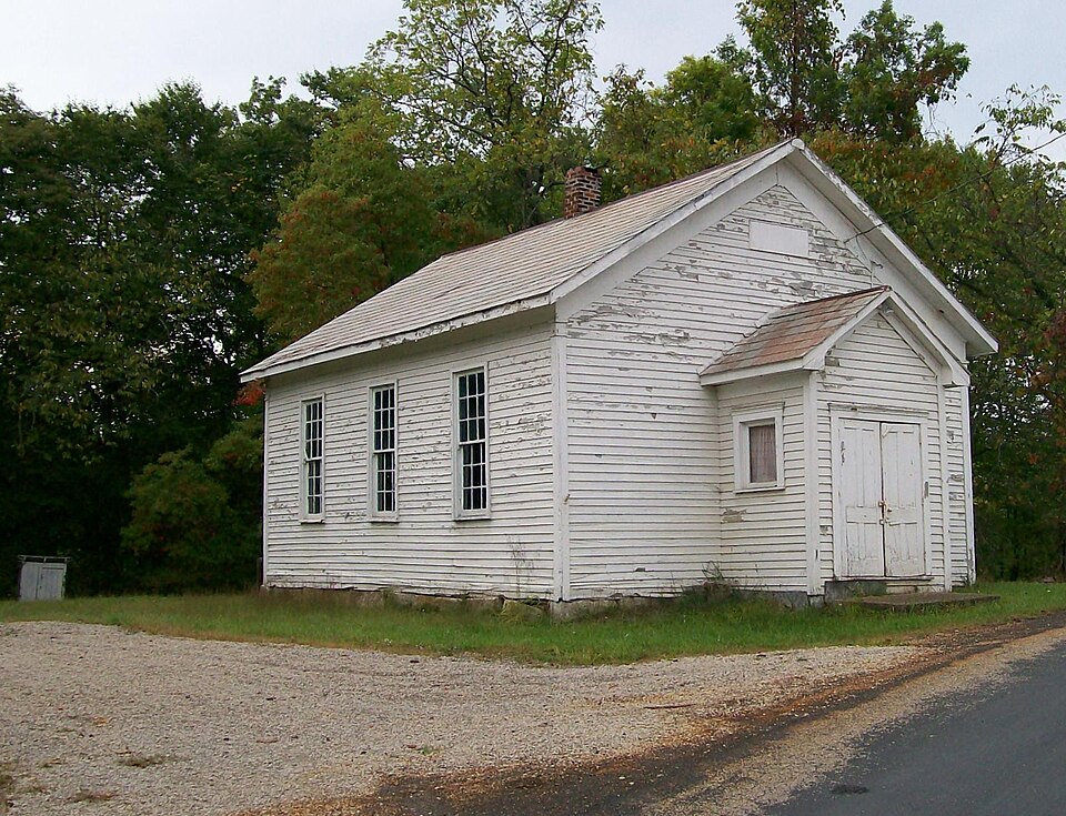
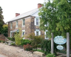
“The West Union School is a historic one-room school located near the village of Norwich in eastern Muskingum County, Ohio, United States. Situated along County Road 200 south of the village, the school was erected in 1858.”
Wikipedia article West Union School, CC BY-SA 4.0.
one of 70 National Register listings in Muskingum County · listed in 1978 · category: Building.
National Register reference number.78002155- the number the National Park Service assigned this property when it was listed, and the key its nomination file is catalogued under at the National Archives.
The year 1811, added quite a number of settlers to the population. William Garner located on the northwest quarter of section five. (now Israel Carr's). Peter Galigher entered a portion of section four, (now John Jennings ). Benjamin Wortman located on the southwest quarter of section seven, (now partially occupied by the village of Norwich). Simon Elhott settled on land now owned by Simon Elliott, Jr., being the southwest quarter of section three. ,
In 1830, a large gristmill was built on lands owned by Jos. Geyer, south of Norwich, by Thos. Maxfield, Thomas Few, Samuel Lorrain, and Manning Putnam. It contained three run of buhrs, with ample machinery, but after passing through various hands, (always unprofitable, ) it was torn down, and the machinery moved to Gratiot, west of Zanesville, in 1870.
Regional context, not property-specific
evidence. The
federal wildfire occurrence database
lists 39 fires within 5 miles of West Union School between
2002 and 2018, burning about 74 acres in total. 1 started naturally. None was recorded as arson.
Distance is straight-line from the map coordinates, so a fire counted
here may appear on a neighbouring settlement's page as well.
Reported cause
Fires
Debris and open burning
24
Missing data/not specified/undetermined
9
Equipment and vehicle use
3
Recreation and ceremony
1
Natural
1
Smoking
1
The most recent of
them, most recent first, with the day each was reported and the service
that recorded it.
Regional context, not property-specific
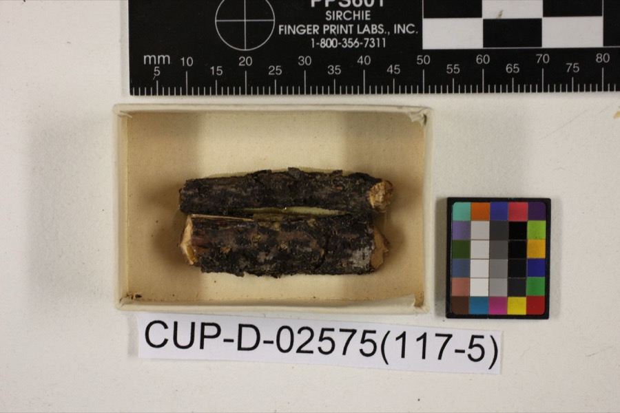
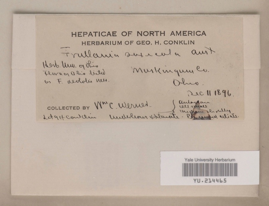
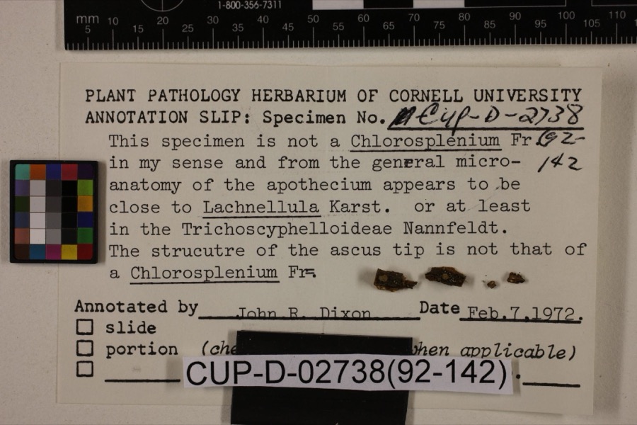
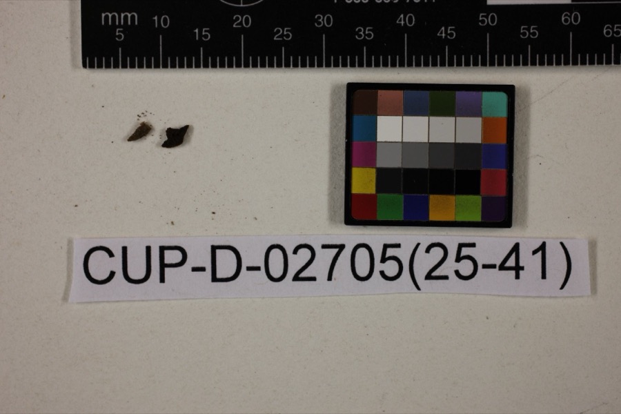
evidence. Museums hold 1,518 specimens
collected within 10 miles of West Union School between 1890 and
1975: 1,225 Animalia, 280 Plantae, 8 Fungi, 5 Unrecorded. 12 distinct Species records are shown.
Collected by A. H. Wright, Adams, W., Adams, W. (William), Trautman, M. B. (Milton Bernard) et al. and others. Each is a
physical object with a catalogue
number, and each entry opens the museum's record. This is what was
collected and kept, not a survey of what lives here - nothing can be
concluded from a species being absent.
Regional context, not property-specific
evidence. The National Weather Service names
Norwich, the town this property stands in, in 21 storm reports between 2004 and 2025: 10 hail, 7 thunderstorm wind, 3 heavy rain, 1 funnel cloud.
No death or injury is recorded in these reports. Each account below is quoted exactly as the forecast office
filed it, from the NOAA Storm Events Database, and each date
opens the federal record of that event.
No historic map-sheet match is published
for this property yet. That does not mean no map exists. This record needs
a coordinate-quality review before it can be joined to a sheet boundary.
Browse the county's mapped places while that work is
pending.
From the nomination file
1,628 words on record
When this property was proposed for the
National Register, someone wrote the case for it: what the building is,
and why it matters. That document is a federal record in the public domain.
It is quoted below word for word, never summarised. The text was read off the scanned case file by machine, so the
occasional stray character is the recogniser's and the 1970s
typewriter's.
Description of the property
five feet in width. The building rests on a cut sandstone foundation, with the in- dividual stones measuring eighteen inches in height, up to thirteen inches in depth, probably cut from native poplar. The building features a gable roof, covered by a gable, and measures approximately six feet in length by eight feet in width, with a height of approximately twelve feet to the ridge of its own gable roof. Four-panel double doors open into the vestibule from the outside. Three double-hung windows are of the ridge of the main roof, and no doubt functioned in conjunction with a wood- or portion of the east gable, directly above the vestibule, is a metal sign, now faded beyond recognition.
On the outside gable wall of the vestibule, above the main en- erected 1858." The interior of West Union School seems to have been altered little from the construction: two recitation desks seven feet in length, and a teacher's desk with primary and twenty-four secondary), dating from the late nineteenth century, are also CONDITION EXCELLENT DETERIORATED UNALTERED XALTERED CHECK ONE FAIR West Union Road),and measures approximately thirty-five feet in length by twenty- inches in height, extending six feet into the room and running the entire width of house is furnished with three pieces said to date from the time of the building's used in the classroom.
been removed from the front of the ridge of the main roof.Centered in the upper and up to forty-six inches in length.The school is entirely sided with clapboard, original.There is one main room plus.the vestibule area.The ceiling height is _RUINS XGOOD nine lights, set in forty-six inch by eighty-six inch frames, with the individual panes the north and south wall of the vestibule.
the building has been painted recently, and minor repairs have been made, members of the West Union Community Club plan to renew their annual summer picnic-reunion for former West Union teachers (three of whom are still living), students, friends years, many of the once-numerous one-room school houses have been abandoned.
West these facts, the school building is probably the best-preserved frame one-room building 1700-1799 1400-1499 ECONOMICS INVENTION COMMUNICATIONS ARCHEOLOGY-HISTORIC BUILDER/ARCHITECT PERIOD ARCHEOLOGY-PREHISTORIC PHILOSOPHY TRANSPORTATION COMMERCE ART MILITARY PREHISTORIC unknown AGRICULTURE INDUSTRY THEATER SIGNIFICANCE SCIENCE RELIGION SCULPTURE XARCHITECTURE LITERATURE XEDUCATION _CONSERVATION MUSIC -1500-1599 With the demise of the small country school districts over the past twenty-five District was consolidated with the New Concord (now East Muskingum) District.
-1600-1699 the building has played a role beyond that of providing for the educational needs of District when the Township consisted of five districts.The first school house was This fine one-room schoolhouse was built on a part of the land grant given to on the property of William Richey (now the Howard Neptune farm),less than one-half in the area.
building from the time of its construction until the fall of 1933,when the West Union Union School has served theoeducational needs of this area for almost eighty years, mile from the original building.Classes were held continuously in the West Union founded in 1924,and celebrated its fiftieth anniversary at the school house.Since this rural area of Muskingum County.These meetings have been varied in nature, in- George Richey.West Union School was in District Three of the Union Township School and is now experiencing a revitalization asa community social center.In addition to -LAW 9
Quoted from the National Register nomination
for reference 78002155, 9 pages, held by the National Archives in Record
Group 79. See the
catalogue record.
Listed places nearby
6 within 8 miles
Other National Register properties close
enough to walk or drive between, ordered by distance from this one. Both
positions come from the same geocoding pass that matched these properties
to their map sheets.
Listing record. National Park Service National Register of Historic Places, listed-properties dataset, current to 2026-05-22.
Map join. Address geocoded through the United States Census geocoder, then tested against the published boundary of every sheet in the USGS Historical Topographic Map Collection.
How this page is made. Listing fields come from federal records; map-sheet coverage is a labelled coordinate-to-boundary calculation, not a source-field claim.
Wildfire. Short, Karen C. 2022. Spatial wildfire occurrence data for the United States, 1992-2020 [FPA_FOD_20221014]. 6th Edition. Fort Collins, CO: Forest Service Research Data Archive. https://doi.org/10.2737/RDS-2013-0009.6 Collected with United States Government funding and usable without additional permissions or fees.
Specimens. Global Biodiversity Information Facility (GBIF), https://www.gbif.org/. Only records licensed CC0 or CC BY are used. Records licensed CC BY-NC are excluded because this site carries advertising. Images are checked individually and any whose licence is non-commercial, no-derivatives or unreadable is refused.
Storms. NOAA National Centers for Environmental Information, Storm Events Database https://www.ncei.noaa.gov/stormevents/ A work of the United States government, no copyright under 17 U.S.C. 105. Narratives are quoted verbatim from the National Weather Service report and are not edited or summarised.
 Block
Block