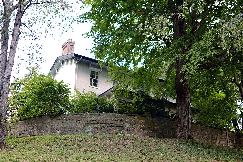
Listed on the National Register of Historic Places in
1979. A historic map-sheet match is not published yet. The record needs a coordinate-quality review before it can be joined to a sheet boundary.
From the record
one of 70 National Register listings in Muskingum County · listed in 1979 · category: Building.
National Register reference number.79001908- the number the National Park Service assigned this property when it was listed, and the key its nomination file is catalogued under at the National Archives.
Regional context, not property-specific
evidence. The
federal wildfire occurrence database
lists 42 fires within 5 miles of Mound House between
2002 and 2019, burning about 79 acres in total. None started naturally. None was recorded as arson.
Distance is straight-line from the map coordinates, so a fire counted
here may appear on a neighbouring settlement's page as well.
Reported cause
Fires
Debris and open burning
25
Missing data/not specified/undetermined
8
Recreation and ceremony
4
Equipment and vehicle use
3
Smoking
1
Power generation/transmission/distribution
1
The most recent of
them, most recent first, with the day each was reported and the service
that recorded it.
Regional context, not property-specific
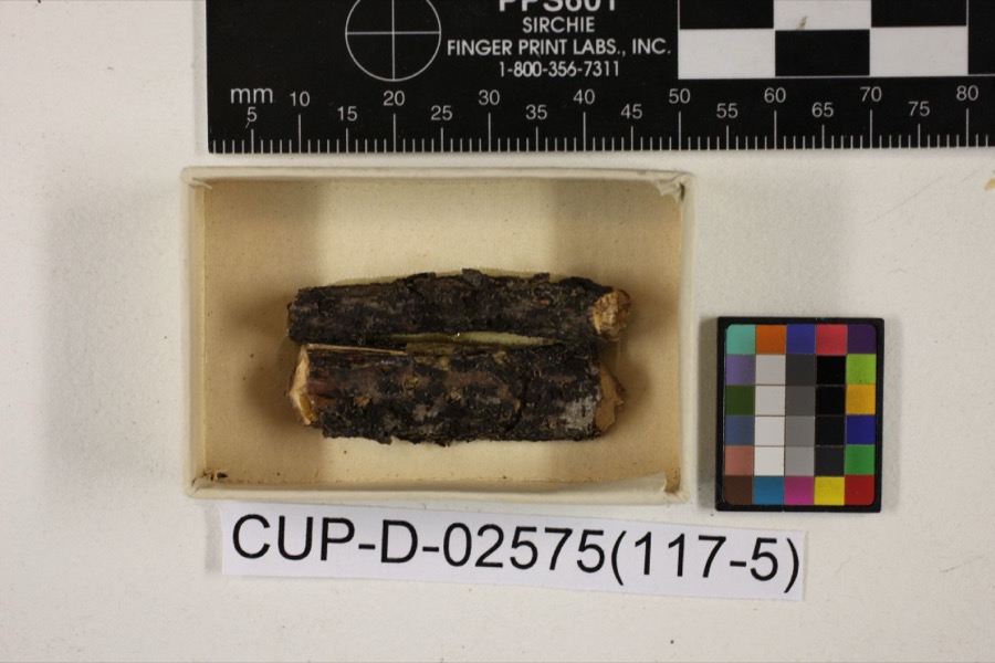
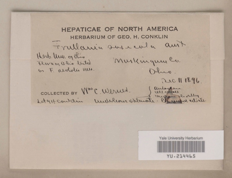
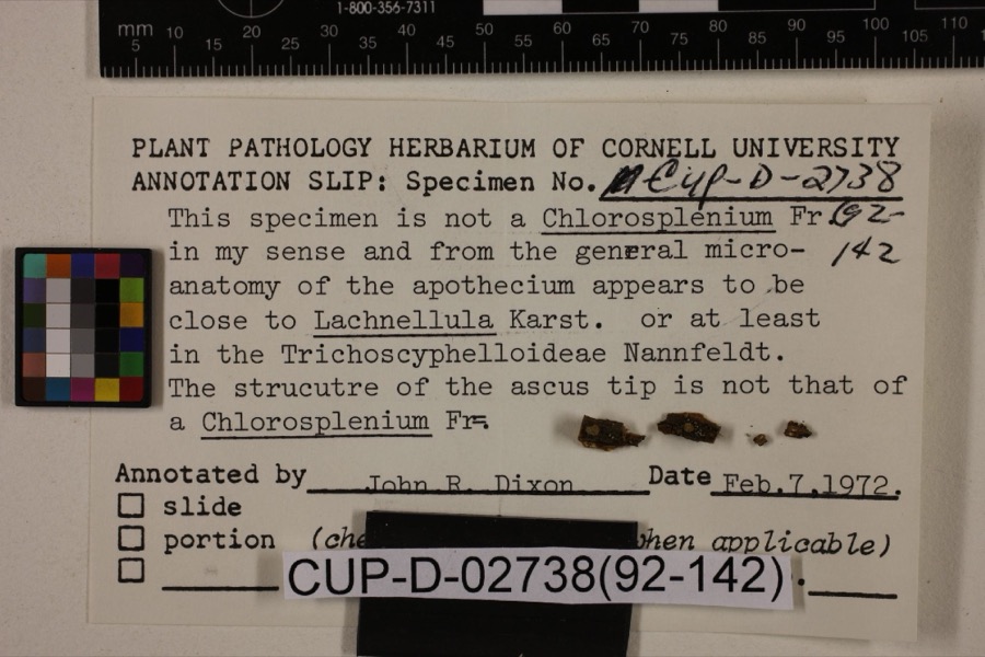
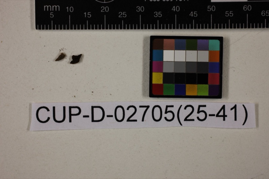
evidence. Museums hold 749 specimens
collected within 10 miles of Mound House between 1873 and
1975: 675 Animalia, 49 Plantae, 15 Fungi, 5 Protozoa, 4 Unrecorded, 1 Chromista. 12 distinct Species records are shown.
Collected by A.E. Miller, Adams, W., Adams, W. (William), Trautman, M. B. (Milton Bernard) et al. and others. Each is a
physical object with a catalogue
number, and each entry opens the museum's record. This is what was
collected and kept, not a survey of what lives here - nothing can be
concluded from a species being absent.
Regional context, not property-specific
evidence. The federal mineral resources record lists
2 workings within 5 miles of Mound House: 2 producers.
All of them still produce. What was taken out: Sand and Gravel, Construction, Iron. Distance is straight-line from the
map coordinates, so a quarry counted here may appear on a neighbouring
settlement's page as well.
Regional context, not property-specific
evidence. The National Weather Service names
Duncan Falls, the town this property stands in, in 15 storm reports between 1994 and 2025: 10 thunderstorm wind, 3 flash flood, 1 hail, 1 flood.
No death or injury is recorded in these reports. Each account below is quoted exactly as the forecast office
filed it, from the NOAA Storm Events Database, and each date
opens the federal record of that event.
A microburst was confirmed by an NWS storm survey in Philo and Duncan Falls. The path of damage was 2 miles long and about 600 yards wide. A total of 89 structures had some damage with cost estimates of 680,00 dollars. Damage to the athletic field at Franklin Local Schools was estimated at nearly 200,000 dallars. Numerous trees and powerlines were brought down on cars and a few homes.
No historic map-sheet match is published
for this property yet. That does not mean no map exists. This record needs
a coordinate-quality review before it can be joined to a sheet boundary.
Browse the county's mapped places while that work is
pending.
From the nomination file
3,286 words on record
When this property was proposed for the
National Register, someone wrote the case for it: what the building is,
and why it matters. That document is a federal record in the public domain.
It is quoted below word for word, never summarised. The text was read off the scanned case file by machine, so the
occasional stray character is the recogniser's and the 1970s
typewriter's.
Description of the property
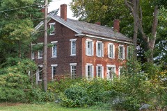
This fine brick residence was built in two sections, with the north section pre- is located in the west half of the front, through a restrained single trabeated door. a slate porch on this side.. The roof is supported by four large tapered wooden pillars. this addition a combination of Federal and early Italianate cetailing. This section 3a porch that the southernmost section of the addition, containing the south bay, collapsed in the early spríng of 1976 taking with it a gable end chimney, corresponding fireplaces; some restrained wooden bracketry. A slate gable roof covers che addition, with the feature of the house as a whole is the breathtaking winding stairway located in the centri outbuildings.
According to local tradition, a tunnel once led (and may still lead) cast CONDITION This EXCELLENT XGOOD UNALTERED _UNEXPOSED CHECK ONE and capped with plain stone lintels.Most windows display external louvered wooden character of the property. hese feature ed through the exclusive use of double hung sash,6/6,set on plain extended lug sil northern gable end chimney inset and intact.
ona plain sandstone foundation and constructed in Flemish beyond the exterior wall of the south side of the house; and thus serves to shelter stone pillars just east of the house testify to the presence of a driveway at one time.Much of the acreage around Mound House has been developed for use asa golf _FAIR is a rear entrance to the house that is shielded by a handsome one-story po to that of the earlier house. hallway of the addition. There present is ceeding the south. an asymmetrically-arranged front. course and as residential lots. ico stron addition are found in the.orway voids.On the first and second lev -RUINS Two interior.chimneys-rise near the middle of the roof along its ridgeline.
/ARCHITECT STATEMENT OF SIGNIFICANCE The origin.! (east- of his newly-established village across the Muskingum River, Taylorstown (later the of (or perhaps because of) his -tentions, Taylor found himself in financial straits, 1400-1499 1700-1799 LAW PHILOSOPHY COMMUNICATIONS XARCHITECTURE EDUCATION PERIOD CONSERVATION POLITICS/GOVERNMENT ART MILITARY ARCHEOLOGY-PREHISTORIC ARCHEOLOGY-HISTORIC PREHISTORIC X1800-1899 XEXPLORATION/SETTLEMENT AGRICULTURE Shelton Sturges LITERATURE taking its restoration,.including the reconstruction of the collapsed wall. THEATER For a time, the house was rented; the present owners live in the home and are under- Mound House is clearly one of the most outstanding early homes in Muskin -ENGINEERING as an irreplaceable part of the area's architectural heritage.
-1600-1699 -ECONOMICS -1500-1599 _COMMERCE - RELIGION _MUSIC _SCULPTURE -1900- "Black" Dan Lawrence It is an important example of settlement architecture, and.its addit ern) section was built in the 1830s by "Black" Dan Lawrence, who constructed sue dwelling for James Taylor (1785-1854). Taylor wished his house to be situated so that he could observe the main thoroughfare name was changed to Philo, in honor of Ebeneezer Buckingham's son of the same name).
With the opening of the Muskingum River to steamboat traffic in 1840, Taylor, always the businessman, recognized the opportunity for future growth, and laid out the town mirrors the change in local architectural taste during the first half of the and sold over 1000 acres, inciu After Sturges' tenancy, the house and its adjoining land were owned by Jacob Rutledge through the turn of the century. County. INVENTION east- INDUSTRY teenth century. According to local traditional history, Putnam merchant. The property was Sai to Soloman Sturges in 1848, and his son 9
Quoted from the National Register nomination
for reference 79001908, 19 pages, held by the National Archives in Record
Group 79. See the
catalogue record.
Listed places nearby
6 within 8 miles
Other National Register properties close
enough to walk or drive between, ordered by distance from this one. Both
positions come from the same geocoding pass that matched these properties
to their map sheets.
Listing record. National Park Service National Register of Historic Places, listed-properties dataset, current to 2026-05-22.
Map join. Address geocoded through the United States Census geocoder, then tested against the published boundary of every sheet in the USGS Historical Topographic Map Collection.
How this page is made. Listing fields come from federal records; map-sheet coverage is a labelled coordinate-to-boundary calculation, not a source-field claim.
Wildfire. Short, Karen C. 2022. Spatial wildfire occurrence data for the United States, 1992-2020 [FPA_FOD_20221014]. 6th Edition. Fort Collins, CO: Forest Service Research Data Archive. https://doi.org/10.2737/RDS-2013-0009.6 Collected with United States Government funding and usable without additional permissions or fees.
Specimens. Global Biodiversity Information Facility (GBIF), https://www.gbif.org/. Only records licensed CC0 or CC BY are used. Records licensed CC BY-NC are excluded because this site carries advertising. Images are checked individually and any whose licence is non-commercial, no-derivatives or unreadable is refused.
Mines and quarries. USGS Mineral Resources Data System (MRDS) https://mrdata.usgs.gov/mrds/ A work of the United States government, no copyright under 17 U.S.C. 105.
Storms. NOAA National Centers for Environmental Information, Storm Events Database https://www.ncei.noaa.gov/stormevents/ A work of the United States government, no copyright under 17 U.S.C. 105. Narratives are quoted verbatim from the National Weather Service report and are not edited or summarised.
 Block
Block